Ballard's Wood
Wood, Forest in Hertfordshire East Hertfordshire
England
Ballard's Wood

Ballard's Wood is a picturesque woodland located in Hertfordshire, England. Covering an area of approximately 40 acres, it is situated near the village of Radlett, within the larger area known as Aldenham Country Park. The wood is a popular destination for nature enthusiasts and walkers seeking solace in a peaceful and serene environment.
Ballard's Wood is characterized by its diverse range of tree species, including oak, ash, beech, and silver birch. The trees create a dense canopy that provides shade during the summer months and a vibrant display of colors during autumn. The forest floor is adorned with a rich carpet of bluebells, wood anemones, and other wildflowers, adding to its natural beauty.
The wood is home to a variety of wildlife, making it a haven for nature lovers and photographers. Red foxes, badgers, and gray squirrels are just a few of the mammals that can be spotted here. Birdwatchers are often rewarded with sightings of woodpeckers, tawny owls, and various species of songbirds.
Within Ballard's Wood, there are several well-maintained footpaths and trails that allow visitors to explore the area at their leisure. These paths offer stunning views of the surrounding countryside and provide an opportunity for visitors to immerse themselves in the tranquility of nature.
Overall, Ballard's Wood is a hidden gem in Hertfordshire, offering a peaceful retreat from the hustle and bustle of daily life. With its stunning woodland scenery, diverse wildlife, and well-maintained trails, it is a must-visit destination for nature enthusiasts and those seeking a connection with the natural world.
If you have any feedback on the listing, please let us know in the comments section below.
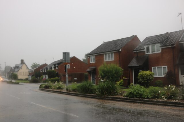
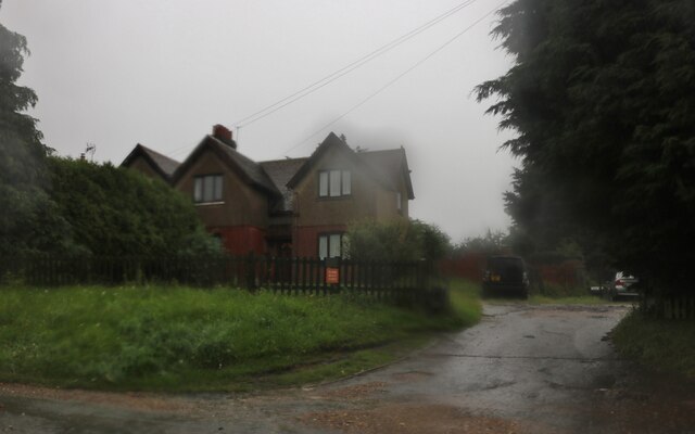
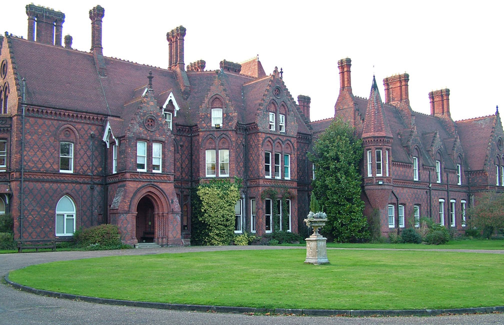
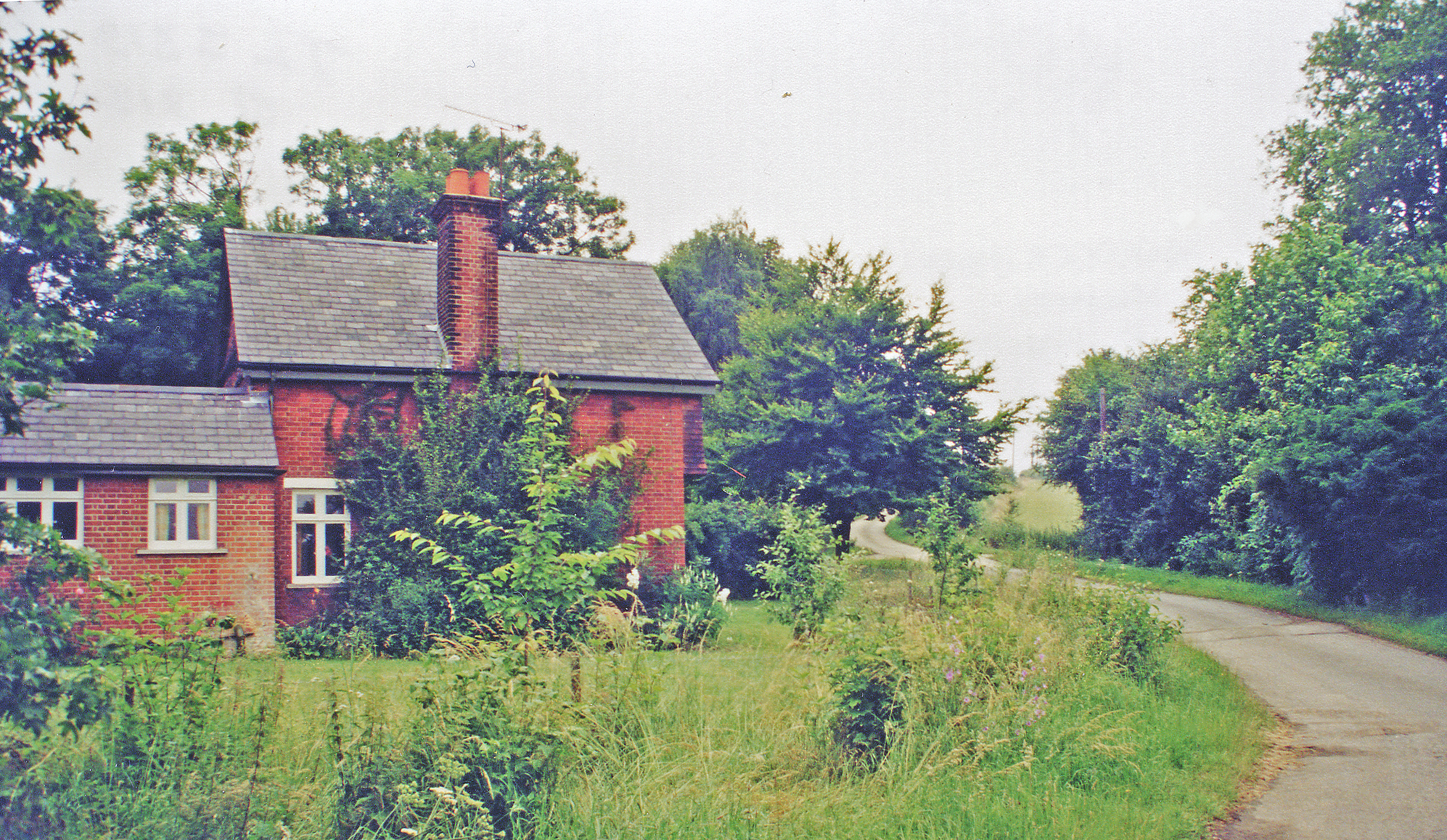
Ballard's Wood Images
Images are sourced within 2km of 51.800777/0.022379599 or Grid Reference TL3913. Thanks to Geograph Open Source API. All images are credited.


Ballard's Wood is located at Grid Ref: TL3913 (Lat: 51.800777, Lng: 0.022379599)
Administrative County: Hertfordshire
District: East Hertfordshire
Police Authority: Hertfordshire
What 3 Words
///ashes.castle.critic. Near Great Amwell, Hertfordshire
Nearby Locations
Related Wikis
All Nations Christian College
All Nations Christian College is an English missions college, located on the Easneye estate near Ware, Hertfordshire, and validated by the Open University...

Stanstead Abbotts
Stanstead Abbotts (alternatively Stanstead Abbots) is a village and civil parish in the district of East Hertfordshire, Hertfordshire, England; it lies...
Mardock railway station
Mardock railway station served the village of Wareside, Hertfordshire, England, from 1863 to 1964 by the Buntingford branch line. == History == The station...

Amwell Magna Fishery
Amwell Magna Fishery is located on the River Lea at Great Amwell which is 1.5 miles (2.4 km) south of Ware in Hertfordshire, southern England. == History... ==

Hertford and Stortford (UK Parliament constituency)
Hertford and Stortford is a constituency currently represented in the House of Commons of the UK Parliament since 2019 by Julie Marson of the Conservative...

River Ash, Hertfordshire
The River Ash originates near the village of Brent Pelham in North Hertfordshire and flows through The Hadhams (Little, Ford and Much), Widford, Wareside...

Stanstead Lock
Stanstead Lock (No4) is a lock on the River Lee Navigation close to the villages of Stanstead Abbotts and St Margarets. The lock which incorporates a rare...

Stanstead St Margarets
Stanstead St Margarets, often abbreviated to just St Margarets, is a village and civil parish in the district of East Hertfordshire, Hertfordshire, England...
Nearby Amenities
Located within 500m of 51.800777,0.022379599Have you been to Ballard's Wood?
Leave your review of Ballard's Wood below (or comments, questions and feedback).