Heter Holt

Wood, Forest in Lincolnshire East Lindsey

England

Heter Holt

The Hills of the Slain: Spellow Hills Long Barrow, near Langton-by-Partney, aerial 2021
The Hills of the Slain: Spellow Hills Long Barrow, near Langton-by-Partney, aerial 2021 Credit: Simon Tomson

Heter Holt is a small village located in the county of Lincolnshire, England. Situated in the heart of the Lincolnshire Wolds, it is known for its captivating woodlands and picturesque forests. The village is surrounded by lush greenery, making it an ideal destination for nature enthusiasts and those seeking tranquility away from the bustling city life.

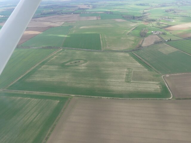
The woodlands of Heter Holt are a prominent feature of the area, covering a significant portion of the village. These woodlands are home to a diverse range of flora and fauna, including native species such as oak, beech, and ash trees. The forest floor is adorned with wildflowers, creating a colorful and vibrant environment.

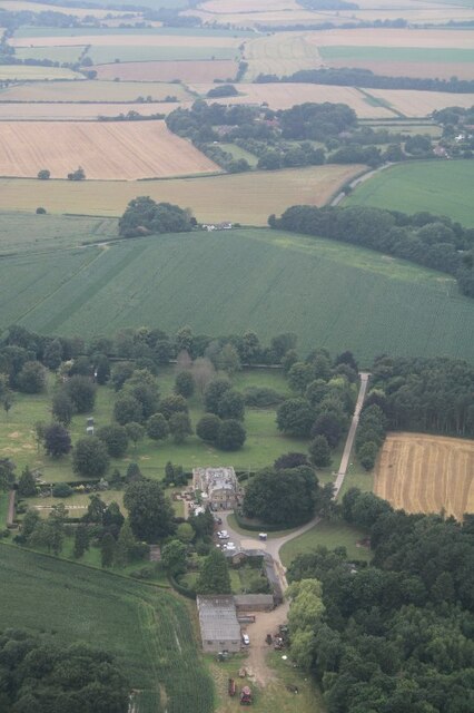
The village itself is quaint and charming, with traditional stone cottages and a close-knit community. It offers a peaceful retreat for visitors looking to escape the pressures of urban living. Heter Holt is a haven for outdoor activities, with numerous walking trails and cycling routes that wind through the woodlands, providing breathtaking views of the surrounding countryside.

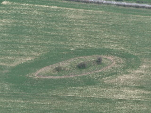
Despite its small size, the village boasts a rich history. It is believed to have been inhabited since ancient times, with evidence of Roman settlements in the area. Heter Holt is also known for its connection to the famous author Alfred, Lord Tennyson, who found inspiration in the natural beauty of the village and its surroundings.

In conclusion, Heter Holt in Lincolnshire is a charming village known for its enchanting woodlands and peaceful atmosphere. It offers visitors a chance to immerse themselves in nature and explore the beauty of the Lincolnshire Wolds.

If you have any feedback on the listing, please let us know in the comments section below.
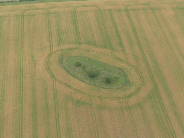
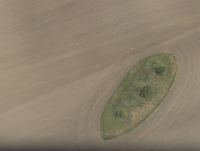
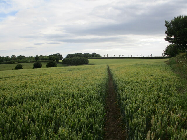
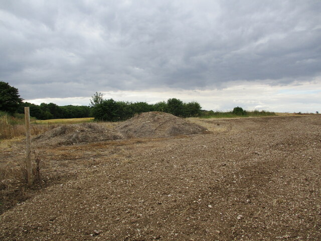
Heter Holt Images

Images are sourced within 2km of 53.220149/0.086271314 or Grid Reference TF3971. Thanks to Geograph Open Source API. All images are credited.

The Hills of the Slain: Spellow Hills Long Barrow, near Langton-by-Partney, aerial 2021
Spellow Hills Long Barrow, aka the Hills of the Slain: aerial 2021 See also <a href="https://www.geograph.org.uk/photo/5466404">TF4072 : Spellow Hills, near Langton-by-Partney: aerial 2017</a> and <a href="https://www.geograph.org.uk/photo/5466428">TF4072 : Spellow Hills long barrow, looking towards Langton: aerial 2017</a>.

Badly mutilated by antiquarian investigations of the nineteenth century, and was thus previously mistaken for a group of round barrows. 

The name 'Spellow Hills' is derived from the Old English 'spel' and 'hlaw' or 'haugr' which means 'assembly mound'. The earliest recorded instance of the name is in the early twelfth century. The barrow lies just below the crest of a gentle rise 200m to the west of the A16 which marks the boundary with Dalby parish. The land rises gently to a point 1.2km north where the wapentakes of Hill, Calcewath and Candleshoe and the parishes of Langton, Driby, Ulceby and Dalby meet <a href="https://www.geograph.org.uk/gridref/TF+406+733">TF 406 733</a>. From here there is an extensive view in all directions. It seems highly likely that this was a meeting place for the people from all three wapentakes rather than that of a single unit. 

See <span class="nowrap"><a title="https://www.heritagegateway.org.uk/Gateway/Results_Single.aspx?uid=MLI43619&resourceID=1006" rel="nofollow ugc noopener" href="https://www.heritagegateway.org.uk/Gateway/Results_Single.aspx?uid=MLI43619&resourceID=1006">Link</a><img style="margin-left:2px;" alt="External link" title="External link - shift click to open in new window" src="https://s1.geograph.org.uk/img/external.png" width="10" height="10"/></span>
Spellow Hills Long Barrow, aka the Hills of the Slain: aerial 2021
See also TF4072 : Spellow Hills, near Langton-by-Partney: aerial 2017 and TF4072 : Spellow Hills long barrow, looking towards Langton: aerial 2017. Badly mutilated by antiquarian investigations of the nineteenth century, and was thus previously mistaken for a group of round barrows. The name 'Spellow Hills' is derived from the Old English 'spel' and 'hlaw' or 'haugr' which means 'assembly mound'. The earliest recorded instance of the name is in the early twelfth century. The barrow lies just below the crest of a gentle rise 200m to the west of the A16 which marks the boundary with Dalby parish. The land rises gently to a point 1.2km north where the wapentakes of Hill, Calcewath and Candleshoe and the parishes of Langton, Driby, Ulceby and Dalby meet TF 406 733. From here there is an extensive view in all directions. It seems highly likely that this was a meeting place for the people from all three wapentakes rather than that of a single unit. See LinkExternal link
Bridleway to Dalby The route is kept clear but not to the required width for a bridleway.
Bridleway to Dalby
The route is kept clear but not to the required width for a bridleway.
Route of the Viking Link Work here is complete after the installation of the Viking Link Interconnector joining the British and Danish electricity grids. <span class="nowrap"><a title="https://viking-link.com/" rel="nofollow ugc noopener" href="https://viking-link.com/">Link</a><img style="margin-left:2px;" alt="External link" title="External link - shift click to open in new window" src="https://s1.geograph.org.uk/img/external.png" width="10" height="10"/></span>
Route of the Viking Link
Work here is complete after the installation of the Viking Link Interconnector joining the British and Danish electricity grids. LinkExternal link
Spellow Hills Long Barrow: aerial 2023 (1) The Hills of the Slain: see <span class="nowrap"><a title="https://www.heritagegateway.org.uk/Gateway/Results_Single.aspx?uid=MLI43619&resourceID=1006" rel="nofollow ugc noopener" href="https://www.heritagegateway.org.uk/Gateway/Results_Single.aspx?uid=MLI43619&resourceID=1006">Link</a><img style="margin-left:2px;" alt="External link" title="External link - shift click to open in new window" src="https://s1.geograph.org.uk/img/external.png" width="10" height="10"/></span> and 
<a href="https://www.geograph.org.uk/photo/5466404">TF4072 : Spellow Hills, near Langton-by-Partney: aerial 2017</a>.
Spellow Hills Long Barrow: aerial 2023 (1)
Spellow Hills Long Barrow: aerial 2023 (2) The Hills of the Slain: see <span class="nowrap"><a title="https://www.heritagegateway.org.uk/Gateway/Results_Single.aspx?uid=MLI43619&resourceID=1006" rel="nofollow ugc noopener" href="https://www.heritagegateway.org.uk/Gateway/Results_Single.aspx?uid=MLI43619&resourceID=1006">Link</a><img style="margin-left:2px;" alt="External link" title="External link - shift click to open in new window" src="https://s1.geograph.org.uk/img/external.png" width="10" height="10"/></span> and 
<a href="https://www.geograph.org.uk/photo/5466404">TF4072 : Spellow Hills, near Langton-by-Partney: aerial 2017</a>.
Spellow Hills Long Barrow: aerial 2023 (2)
Strawstack near Langton Grange Farm
Sausthorpe Hall: aerial 2021
Footpath alongside a field of peas, Langton
Field of peas, Langton
Footpath to Langton
Footpath to Langton
Old brick hut near Scotland Farm One of a cluster of military-looking huts.
Old brick hut near Scotland Farm
One of a cluster of military-looking huts.
Stockpile Near Langton Hill
Stockpile
Near Langton Hill
Crossroads Minor lanes cross the A16.
Crossroads
Minor lanes cross the A16.
Cattle at Dalby Grange Farm road near the ancient site of Fordington village.
Cattle at Dalby Grange
Farm road near the ancient site of Fordington village.
Field of wild flowers near Dalby I've no idea what the crop was, but it was over-run with wild flowers. It may be clover as that is what the adjoining field was growing.
Field of wild flowers near Dalby
I've no idea what the crop was, but it was over-run with wild flowers. It may be clover as that is what the adjoining field was growing.
Country road near Dalby The hedgerow on this narrow road, is a little overdue a trim.
Country road near Dalby
The hedgerow on this narrow road, is a little overdue a trim.
Stubble field near Dalby Looking towards the A16 Boston to Grimsby road.
Stubble field near Dalby
Looking towards the A16 Boston to Grimsby road.
Show me another place!

Heter Holt is located at Grid Ref: TF3971 (Lat: 53.220149, Lng: 0.086271314)

Administrative County: Lincolnshire

District: East Lindsey

Police Authority: Lincolnshire

What 3 Words

///pounces.sheets.riddle. Near Spilsby, Lincolnshire

Related Wikis

Langton by Spilsby

Langton by Spilsby, sometimes called Langton by Partney, is a village and civil parish in the East Lindsey district of Lincolnshire, England. It is situated...

Sutterby

Sutterby is a hamlet in the civil parish of Langton by Spilsby, in the East Lindsey district of Lincolnshire, England. It is situated 9 miles (14 km) south...

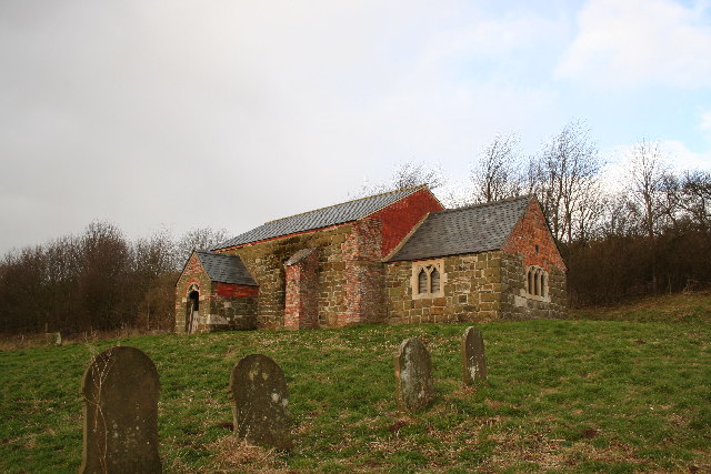
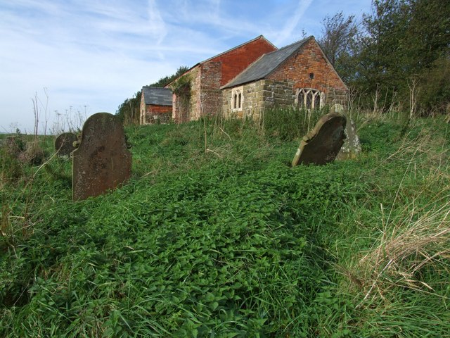
St John the Baptist's Church, Sutterby

St John the Baptist's Church is a redundant Anglican church in the village of Sutterby, Lincolnshire, England. It is recorded in the National Heritage...

Dexthorpe

Dexthorpe is a deserted medieval village in the East Lindsey district of Lincolnshire, England. It is in the parish of Dalby, and 3.5 miles (5.6 km) north...

Dalby, Lincolnshire

Dalby is a village and civil parish in the East Lindsey district of Lincolnshire, England. It is situated approximately 3 miles (5 km) north from the town...

Aswardby

Aswardby (pronounced "as-ard-bee") is a village situated 4 miles (6 km) north-west from Spilsby, in the East Lindsey district of Lincolnshire, England...

Sausthorpe

Sausthorpe is a small village and civil parish in the East Lindsey district of Lincolnshire, England, 8 miles (13 km) east of Horncastle and 3 miles (4...

Fordington, Lincolnshire

Fordington is a hamlet in the East Lindsey district of Lincolnshire in England. It is situated within Ulceby with Fordington civil parish. == References... ==

Nearby Amenities

Located within 500m of 53.220149,0.086271314
Langton Hill
Ele: 95
Natural: peak
Source: Bing
Lat/Long: 53.222532/0.09171
Home Farm
Alt Name: Hill Farm
Place: farm
Source: Bing
Lat/Long: 53.2173065/0.0870405
The data included in this document is from www.openstreetmap.org. The data is made available under ODbL.

Have you been to Heter Holt?

Leave your review of Heter Holt below (or comments, questions and feedback).