Doghouse Wood

Wood, Forest in Hertfordshire East Hertfordshire

England

Doghouse Wood

Field by Scholar's Hill, Wareside
Field by Scholar's Hill, Wareside Credit: David Howard

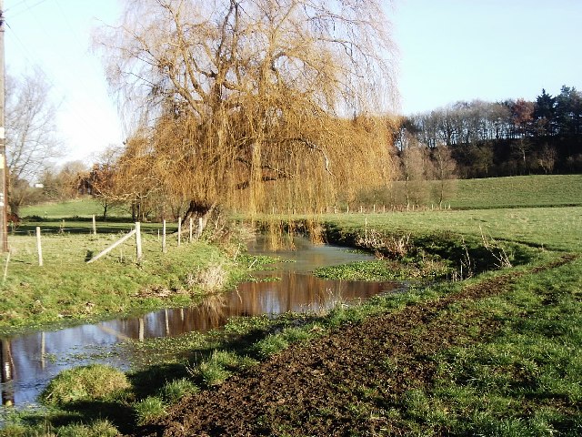
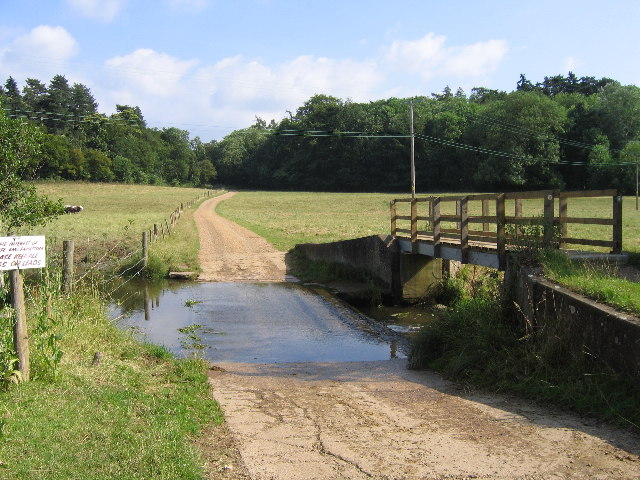
Doghouse Wood is a picturesque woodland located in Hertfordshire, England. Covering an area of approximately 20 acres, this enchanting forest is known for its diverse range of flora and fauna, making it a popular spot for nature enthusiasts and hikers.

The wood is primarily composed of deciduous trees, including oak, beech, and ash, which create a dense and vibrant canopy during the summer months. The forest floor is carpeted with a variety of wildflowers, ferns, and mosses, adding to its natural beauty.

Tranquil walking trails wind their way through the wood, offering visitors the opportunity to explore its hidden gems. These well-maintained paths lead to secluded clearings and small ponds, providing a peaceful setting for picnics or birdwatching. The wood is home to a wide range of bird species, including woodpeckers, owls, and various songbirds, making it a birdwatcher's paradise.

Doghouse Wood has a rich history, with evidence of human activity dating back to the Iron Age. The wood has been carefully preserved, and visitors can still see remnants of ancient earthworks and boundary ditches. These archaeological features add an intriguing dimension to the woodland experience, allowing visitors to connect with the area's past.

Managed by a local conservation organization, Doghouse Wood is a designated nature reserve, ensuring the protection and preservation of its unique ecosystem. The wood provides a valuable habitat for numerous species of mammals, including deer, squirrels, and foxes, creating a harmonious balance between wildlife and human visitors.

In conclusion, Doghouse Wood is a captivating woodland in Hertfordshire, offering a serene and enchanting escape for nature lovers. Its diverse ecosystem, historical significance, and well-maintained trails make it a must-visit destination for those seeking a peaceful and immersive outdoor experience.

If you have any feedback on the listing, please let us know in the comments section below.

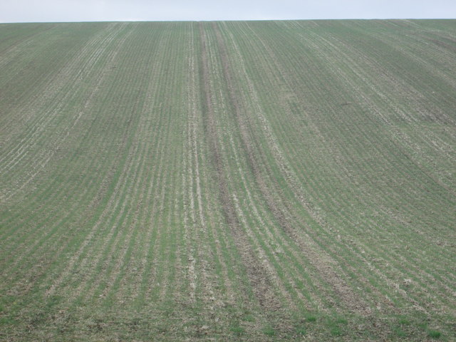
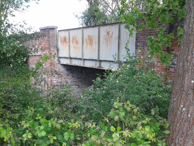
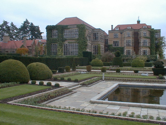
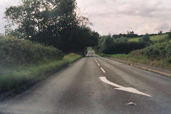
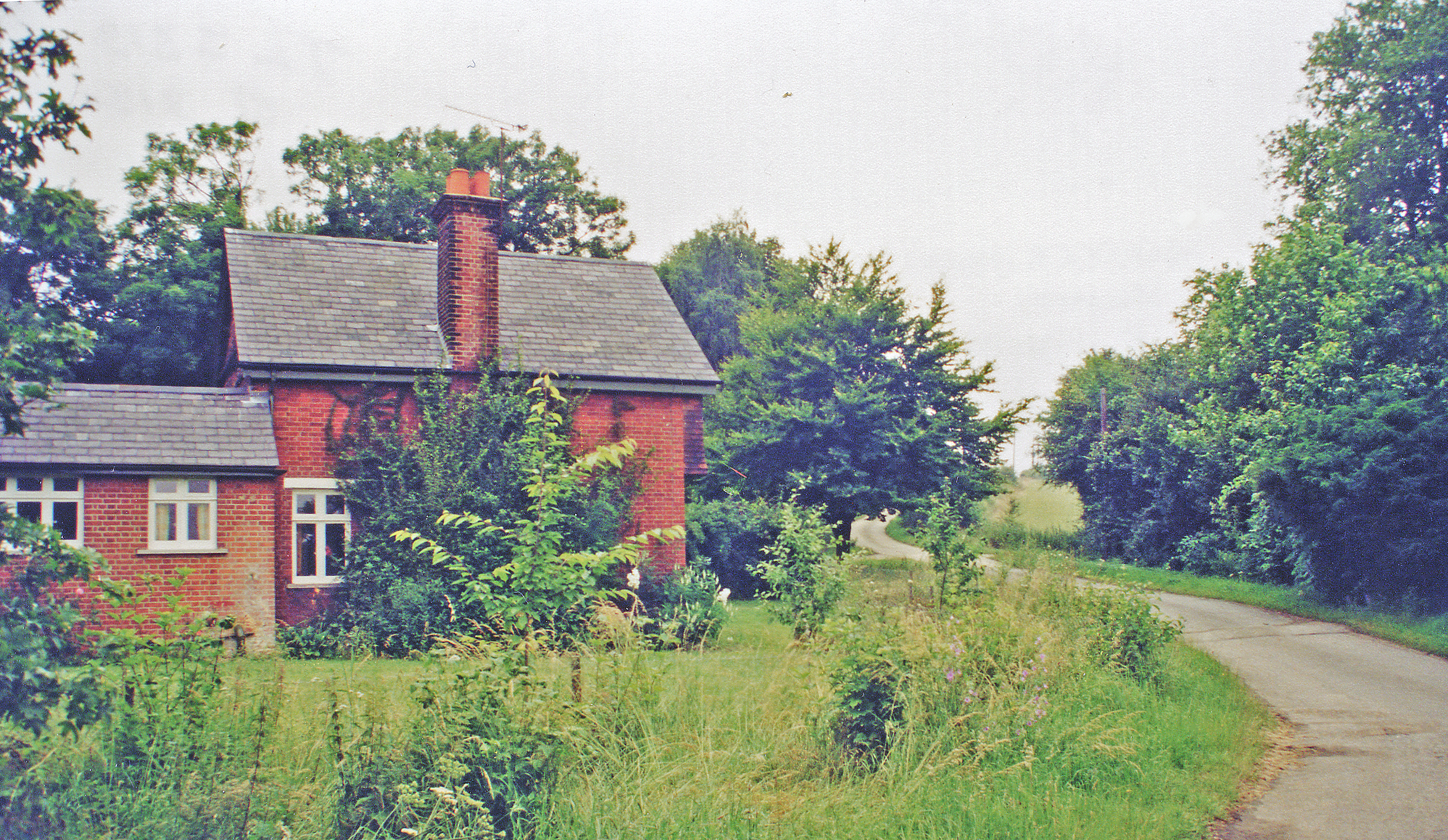
Doghouse Wood Images

Images are sourced within 2km of 51.810912/0.015013932 or Grid Reference TL3914. Thanks to Geograph Open Source API. All images are credited.

Field by Scholar's Hill, Wareside
The B1004, Wareside By the road to Babbs Green
The B1004, Wareside
By the road to Babbs Green
Scholar's Hill, Wareside
Field by Scholar's Hill, Wareside
Junction on Ware Road, Wareside
Furrowed field off the Hertfordshire Way
Harcamlow Way bordering Moat Wood The Harcamlow Way is a long distance walking route (141 miles) which is in the form of a figure of eight and it passes through the counties of Cambridgeshire, Hertfordshire and Essex.  The route connects Harlow with Cambridge, hence the name Harcamlow.
Harcamlow Way bordering Moat Wood
The Harcamlow Way is a long distance walking route (141 miles) which is in the form of a figure of eight and it passes through the counties of Cambridgeshire, Hertfordshire and Essex. The route connects Harlow with Cambridge, hence the name Harcamlow.
Bridge over disused railway on the old St Margaret's to Buntingford branch line This bridged spans the cutting near the old Mardock station on the Buntingford Branch line from St Margaret's (The Bunt).
Bridge over disused railway on the old St Margaret's to Buntingford branch line
This bridged spans the cutting near the old Mardock station on the Buntingford Branch line from St Margaret's (The Bunt).
Fields looking north-west from Hunsdon Road, B180
Fanhams Hall Fanhams Hall belonged to Sainsbury's for around 25 years and was used as its Training Centre. The Hall itself was modernised substantially in the 1980s and the grounds were maintained in fine condition
Fanhams Hall
Fanhams Hall belonged to Sainsbury's for around 25 years and was used as its Training Centre. The Hall itself was modernised substantially in the 1980s and the grounds were maintained in fine condition
Streetscene, Wareside, Herts Looking west along the B1004.  Note how the buildings open directly onto the road.
Streetscene, Wareside, Herts
Looking west along the B1004. Note how the buildings open directly onto the road.
B1004 between Widford and Wareside A view of the only straight section of road between Much Hadham and Ware.  Looking westwards.
B1004 between Widford and Wareside
A view of the only straight section of road between Much Hadham and Ware. Looking westwards.
River Ash This was taken near Watersplace Farm looking north-east.
River Ash
This was taken near Watersplace Farm looking north-east.
Ford across River Ash at Watersplace Farm View south towards Easneye Woods
Ford across River Ash at Watersplace Farm
View south towards Easneye Woods
The Dairy Farm These fine red-brick farm buildings have always caught my eye whilst walking up the Ash Valley. I expect they are associated with the nearby Easneye hall.
The Dairy Farm
These fine red-brick farm buildings have always caught my eye whilst walking up the Ash Valley. I expect they are associated with the nearby Easneye hall.
Stanstead Mill Stream at Amwell Magna Away from the Lee Navigation the River Lee is more natural. This shows the Stanstead Mill Stream soon after it splits from the River Lee at a weir within the Amwell Magna fishery. It rejoins the Lee in the navigable waters below Stanstead Abbotts.
Stanstead Mill Stream at Amwell Magna
Away from the Lee Navigation the River Lee is more natural. This shows the Stanstead Mill Stream soon after it splits from the River Lee at a weir within the Amwell Magna fishery. It rejoins the Lee in the navigable waters below Stanstead Abbotts.
River Lee at Amwell View from footbridge over River Lee that leads to Amwell Quarry.  Hollcross lake (water-filled gravel workings) can be seen to the left of the river, beyond the wide margins of wetland vegetation.
River Lee at Amwell
View from footbridge over River Lee that leads to Amwell Quarry. Hollcross lake (water-filled gravel workings) can be seen to the left of the river, beyond the wide margins of wetland vegetation.
Show me another place!

Doghouse Wood is located at Grid Ref: TL3914 (Lat: 51.810912, Lng: 0.015013932)

Administrative County: Hertfordshire

District: East Hertfordshire

Police Authority: Hertfordshire

What 3 Words

///perky.sprint.globe. Near Ware, Hertfordshire

Nearby Locations

Young Wood Doghouse Wood

Related Wikis

Mardock railway station

Mardock railway station served the village of Wareside, Hertfordshire, England, from 1863 to 1964 by the Buntingford branch line. == History == The station...

Hertford and Stortford (UK Parliament constituency)

Hertford and Stortford is a constituency currently represented in the House of Commons of the UK Parliament since 2019 by Julie Marson of the Conservative...

Wareside

Wareside is a small village and civil parish in the East Hertfordshire district, in the county of Hertfordshire, England. The population of the civil parish...

All Nations Christian College

All Nations Christian College is an English missions college, located on the Easneye estate near Ware, Hertfordshire, and validated by the Open University...

River Ash, Hertfordshire

The River Ash originates near the village of Brent Pelham in North Hertfordshire and flows through The Hadhams (Little, Ford and Much), Widford, Wareside...

Amwell Magna Fishery

Amwell Magna Fishery is located on the River Lea at Great Amwell which is 1.5 miles (2.4 km) south of Ware in Hertfordshire, southern England. == History... ==

Babbs Green

Babbs Green is a hamlet in the civil parish of Wareside, in the East Hertfordshire district of Hertfordshire, England, located around 3 miles (5 km) north...

Bakers End

Bakers End is a hamlet in the civil parish of Wareside, in the East Hertfordshire district, in the county of Hertfordshire, England.

Related Videos

Walks in Ware - Amwell Nature Reserve

Dropped pin https://maps.app.goo.gl/ie8YHrwscbQAk3Bt6 Walks in Ware - Amwell Nature Reserve is a beautiful Walk any time of ...

Walks in Ware - Autumn Hollycross Road to Amwell Nature Reserve Lookout Point

Walks in Ware - Autumn - Hollycross Road to Amwell Nature Reserve Lookout Point is a delightful autumn walk though open ...

Walks in Ware - Hollycross Road Hill Walk

Walks in Ware - Hollycross Road Hill Walk, Walks in Ware is a series of videos to encourage people to keep fit and stay Active.

Walks in Ware - Beacon Park / Fanham tributaries S01E05

Beacon Park Fanham tributaries - "Walks in Ware" is a series of videos encouraging people to keep fit and enjoy the countryside ...

Nearby Amenities

Located within 500m of 51.810912,0.015013932
Source: GPS
Lat/Long: 51.8080849/0.0165731
Source: GPS
Lat/Long: 51.8106485/0.014406
Source: GPS
Lat/Long: 51.8109136/0.0139997
Source: GPS
Lat/Long: 51.8111935/0.0124406
Source: GPS
Lat/Long: 51.8113556/0.0118641
Source: GPS
Lat/Long: 51.8113844/0.0107225
Source: GPS
Lat/Long: 51.8114548/0.0101853
Source: GPS
Lat/Long: 51.8114711/0.0099992
Source: GPS
Lat/Long: 51.8109248/0.0145386
Source: GPS
Lat/Long: 51.8106103/0.0144511
Source: GPS
Lat/Long: 51.8105315/0.0146924
Source: GPS
Lat/Long: 51.8102091/0.0155159
Source: GPS
Lat/Long: 51.8080277/0.0175598
Source: GPS
Lat/Long: 51.8079942/0.0186778
Source: GPS
Lat/Long: 51.8079601/0.0195936
Source: GPS
Lat/Long: 51.8080385/0.0165339
Material: wood
Power: pole
Lat/Long: 51.8104804/0.0090793
Material: wood
Power: pole
Lat/Long: 51.8108071/0.0097069
Material: wood
Power: pole
Lat/Long: 51.8111454/0.0103641
Material: wood
Power: pole
Lat/Long: 51.8114356/0.0109863
Material: wood
Power: pole
Lat/Long: 51.8114903/0.0121772
Material: wood
Power: pole
Lat/Long: 51.8115633/0.0136685
Material: wood
Power: pole
Lat/Long: 51.8116263/0.0156105
Material: wood
Power: pole
Lat/Long: 51.8115633/0.0164258
Material: wood
Power: pole
Lat/Long: 51.8114472/0.0173271
Material: wood
Power: pole
Lat/Long: 51.811356/0.0181398
Material: wood
Power: pole
Lat/Long: 51.8112482/0.0190115
Material: wood
Power: pole
Lat/Long: 51.8111354/0.0198966
Material: steel
Power: pole
Lat/Long: 51.8112797/0.022088
Material: steel
Power: pole
Lat/Long: 51.8102632/0.021463
Material: steel
Power: pole
Lat/Long: 51.8093643/0.0210822
Material: steel
Power: pole
Lat/Long: 51.8084887/0.020704
The data included in this document is from www.openstreetmap.org. The data is made available under ODbL.

Have you been to Doghouse Wood?

Leave your review of Doghouse Wood below (or comments, questions and feedback).