Willow Holt

Wood, Forest in Lincolnshire East Lindsey

England

Willow Holt

The Hills of the Slain: Spellow Hills Long Barrow, near Langton-by-Partney, aerial 2021
The Hills of the Slain: Spellow Hills Long Barrow, near Langton-by-Partney, aerial 2021 Credit: Simon Tomson

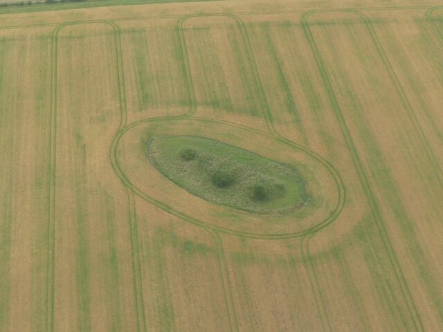
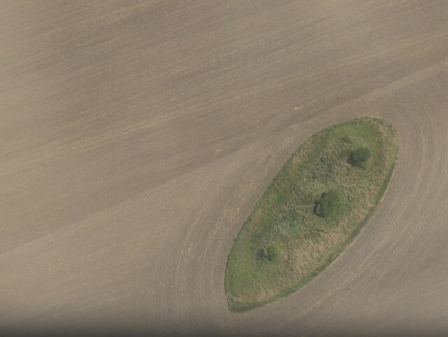
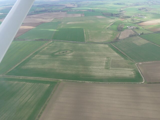
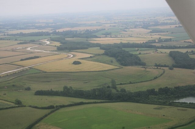
Willow Holt, located in the county of Lincolnshire, is a picturesque woodland area known for its enchanting beauty and tranquil atmosphere. The name "Willow Holt" refers to a grove or small plantation of willow trees, which are abundant throughout the area. The holt is situated near the village of Lincoln, providing easy access to nature enthusiasts and visitors.

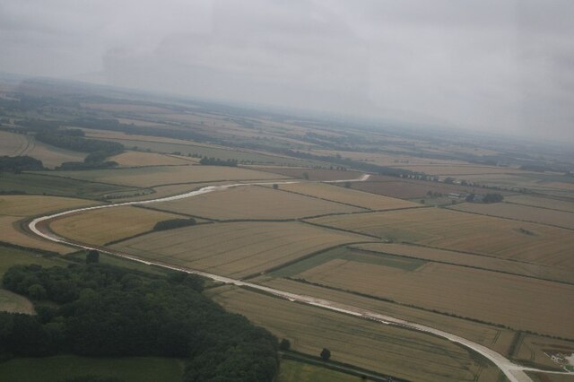
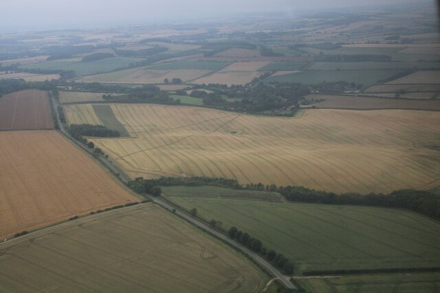
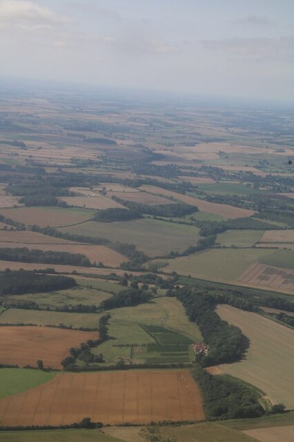
The woodland is characterized by its dense foliage, consisting mainly of willow trees, as well as a variety of other native trees such as oak, birch, and beech. The forest floor is covered in a lush carpet of moss, ferns, and wildflowers, creating a vibrant and diverse ecosystem. This natural habitat supports a wide array of wildlife, including birds, squirrels, rabbits, and deer, making it a popular destination for birdwatching and wildlife observation.

Walking trails wind through the woodland, offering visitors the opportunity to explore and immerse themselves in the serenity of nature. The paths are well-maintained and suitable for leisurely strolls as well as more challenging hikes. There are also designated picnic areas where visitors can enjoy a peaceful meal amidst the picturesque surroundings.

The management of Willow Holt is overseen by local authorities, ensuring the preservation and conservation of the woodland. Efforts are made to maintain the ecological balance and protect the natural habitat, making it an ideal location for nature lovers and environmental enthusiasts.

Overall, Willow Holt in Lincolnshire is a haven of natural beauty, providing a respite from the hustle and bustle of everyday life. Its stunning landscapes, diverse wildlife, and peaceful ambiance make it a delightful destination for those seeking solace in nature.

If you have any feedback on the listing, please let us know in the comments section below.
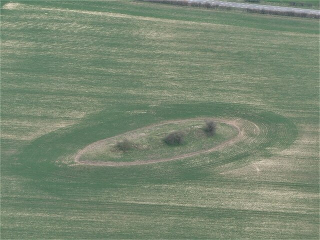
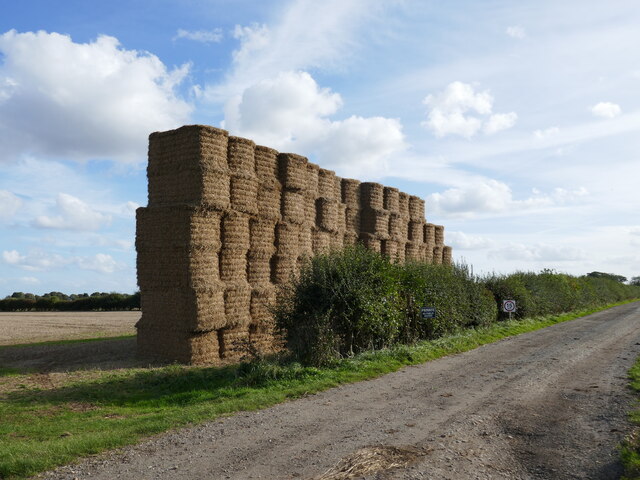
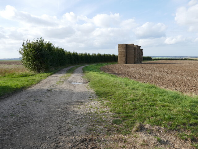
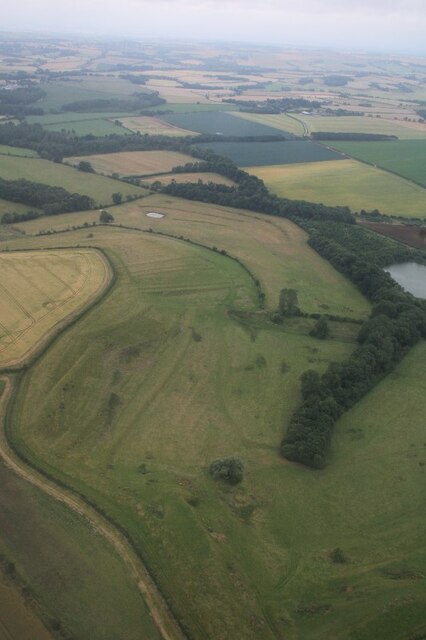
Willow Holt Images

Images are sourced within 2km of 53.230139/0.078411578 or Grid Reference TF3872. Thanks to Geograph Open Source API. All images are credited.

The Hills of the Slain: Spellow Hills Long Barrow, near Langton-by-Partney, aerial 2021
Spellow Hills Long Barrow, aka the Hills of the Slain: aerial 2021 See also <a href="https://www.geograph.org.uk/photo/5466404">TF4072 : Spellow Hills, near Langton-by-Partney: aerial 2017</a> and <a href="https://www.geograph.org.uk/photo/5466428">TF4072 : Spellow Hills long barrow, looking towards Langton: aerial 2017</a>.

Badly mutilated by antiquarian investigations of the nineteenth century, and was thus previously mistaken for a group of round barrows. 

The name 'Spellow Hills' is derived from the Old English 'spel' and 'hlaw' or 'haugr' which means 'assembly mound'. The earliest recorded instance of the name is in the early twelfth century. The barrow lies just below the crest of a gentle rise 200m to the west of the A16 which marks the boundary with Dalby parish. The land rises gently to a point 1.2km north where the wapentakes of Hill, Calcewath and Candleshoe and the parishes of Langton, Driby, Ulceby and Dalby meet <a href="https://www.geograph.org.uk/gridref/TF+406+733">TF 406 733</a>. From here there is an extensive view in all directions. It seems highly likely that this was a meeting place for the people from all three wapentakes rather than that of a single unit. 

See <span class="nowrap"><a title="https://www.heritagegateway.org.uk/Gateway/Results_Single.aspx?uid=MLI43619&resourceID=1006" rel="nofollow ugc noopener" href="https://www.heritagegateway.org.uk/Gateway/Results_Single.aspx?uid=MLI43619&resourceID=1006">Link</a><img style="margin-left:2px;" alt="External link" title="External link - shift click to open in new window" src="https://s1.geograph.org.uk/img/external.png" width="10" height="10"/></span>
Spellow Hills Long Barrow, aka the Hills of the Slain: aerial 2021
See also TF4072 : Spellow Hills, near Langton-by-Partney: aerial 2017 and TF4072 : Spellow Hills long barrow, looking towards Langton: aerial 2017. Badly mutilated by antiquarian investigations of the nineteenth century, and was thus previously mistaken for a group of round barrows. The name 'Spellow Hills' is derived from the Old English 'spel' and 'hlaw' or 'haugr' which means 'assembly mound'. The earliest recorded instance of the name is in the early twelfth century. The barrow lies just below the crest of a gentle rise 200m to the west of the A16 which marks the boundary with Dalby parish. The land rises gently to a point 1.2km north where the wapentakes of Hill, Calcewath and Candleshoe and the parishes of Langton, Driby, Ulceby and Dalby meet TF 406 733. From here there is an extensive view in all directions. It seems highly likely that this was a meeting place for the people from all three wapentakes rather than that of a single unit. See LinkExternal link
Route of the Viking Link Work here is complete after the installation of the Viking Link Interconnector joining the British and Danish electricity grids. <span class="nowrap"><a title="https://viking-link.com/" rel="nofollow ugc noopener" href="https://viking-link.com/">Link</a><img style="margin-left:2px;" alt="External link" title="External link - shift click to open in new window" src="https://s1.geograph.org.uk/img/external.png" width="10" height="10"/></span>
Route of the Viking Link
Work here is complete after the installation of the Viking Link Interconnector joining the British and Danish electricity grids. LinkExternal link
Spellow Hills Long Barrow: aerial 2023 (1) The Hills of the Slain: see <span class="nowrap"><a title="https://www.heritagegateway.org.uk/Gateway/Results_Single.aspx?uid=MLI43619&resourceID=1006" rel="nofollow ugc noopener" href="https://www.heritagegateway.org.uk/Gateway/Results_Single.aspx?uid=MLI43619&resourceID=1006">Link</a><img style="margin-left:2px;" alt="External link" title="External link - shift click to open in new window" src="https://s1.geograph.org.uk/img/external.png" width="10" height="10"/></span> and 
<a href="https://www.geograph.org.uk/photo/5466404">TF4072 : Spellow Hills, near Langton-by-Partney: aerial 2017</a>.
Spellow Hills Long Barrow: aerial 2023 (1)
Spellow Hills Long Barrow: aerial 2023 (2) The Hills of the Slain: see <span class="nowrap"><a title="https://www.heritagegateway.org.uk/Gateway/Results_Single.aspx?uid=MLI43619&resourceID=1006" rel="nofollow ugc noopener" href="https://www.heritagegateway.org.uk/Gateway/Results_Single.aspx?uid=MLI43619&resourceID=1006">Link</a><img style="margin-left:2px;" alt="External link" title="External link - shift click to open in new window" src="https://s1.geograph.org.uk/img/external.png" width="10" height="10"/></span> and 
<a href="https://www.geograph.org.uk/photo/5466404">TF4072 : Spellow Hills, near Langton-by-Partney: aerial 2017</a>.
Spellow Hills Long Barrow: aerial 2023 (2)
Cropmarks on field near Ulceby Cross: aerial 2023 Geological, but less easy to see is the National Grid Viking Link cable trench running from Sandilands to Bicker Fen. See: <a href="https://www.geograph.org.uk/photo/6830970">TF5379 : Viking Link cable run from Sandilands: aerial 2021</a>.
Cropmarks on field near Ulceby Cross: aerial 2023
Geological, but less easy to see is the National Grid Viking Link cable trench running from Sandilands to Bicker Fen. See: TF5379 : Viking Link cable run from Sandilands: aerial 2021.
Strawstack near Langton Grange Farm
Prepared field near Ulceby Cross
Farm track and strawstack near Langton Grange Farm
Old brick hut near Scotland Farm One of a cluster of military-looking huts.
Old brick hut near Scotland Farm
One of a cluster of military-looking huts.
Stockpile Near Langton Hill
Stockpile
Near Langton Hill
A16 at Scotland Farm Near Ulceby Cross, Lincolnshire.
A16 at Scotland Farm
Near Ulceby Cross, Lincolnshire.
Langton Lynchets (Northdale Carr): aerial 2021
Langton Lynchets (Northdale Carr): aerial 2021 (2)
Viking Link cable track near Sutterby: aerial 2021 See <a href="https://www.geograph.org.uk/photo/6830970">TF5379 : Viking Link cable run from Sandilands: aerial 2021</a> for details of the submarine power cable from Revsing in Southern Jutland to Bicker Fen.
Viking Link cable track near Sutterby: aerial 2021
See TF5379 : Viking Link cable run from Sandilands: aerial 2021 for details of the submarine power cable from Revsing in Southern Jutland to Bicker Fen.
Fields SE of Brinkhill: aerial 2021
Direction Sign – Signpost near Glebe Farm in Langton by Spilsby parish Located on the east side of the T junction near Glebe Farm in Langton by Spilsby parish. 3 arms and no finial. 

Milestone Society National ID: LI_TF3870
Direction Sign – Signpost near Glebe Farm in Langton by Spilsby parish
Located on the east side of the T junction near Glebe Farm in Langton by Spilsby parish. 3 arms and no finial. Milestone Society National ID: LI_TF3870
Ovens Farm Vineyard, near Harrington: aerial 2021 See <span class="nowrap"><a title="https://www.ovensfarmvineyard.com/" rel="nofollow ugc noopener" href="https://www.ovensfarmvineyard.com/">Link</a><img style="margin-left:2px;" alt="External link" title="External link - shift click to open in new window" src="https://s1.geograph.org.uk/img/external.png" width="10" height="10"/></span>
Ovens Farm Vineyard, near Harrington: aerial 2021
See LinkExternal link
Show me another place!

Willow Holt is located at Grid Ref: TF3872 (Lat: 53.230139, Lng: 0.078411578)

Administrative County: Lincolnshire

District: East Lindsey

Police Authority: Lincolnshire

What 3 Words

///toothpick.rots.shots. Near Spilsby, Lincolnshire

Related Wikis

Sutterby

Sutterby is a hamlet in the civil parish of Langton by Spilsby, in the East Lindsey district of Lincolnshire, England. It is situated 9 miles (14 km) south...

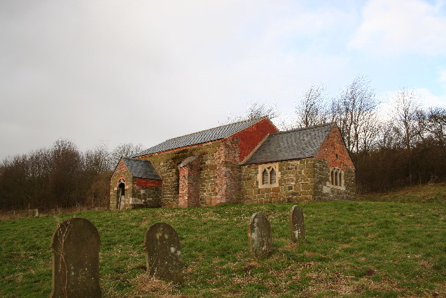
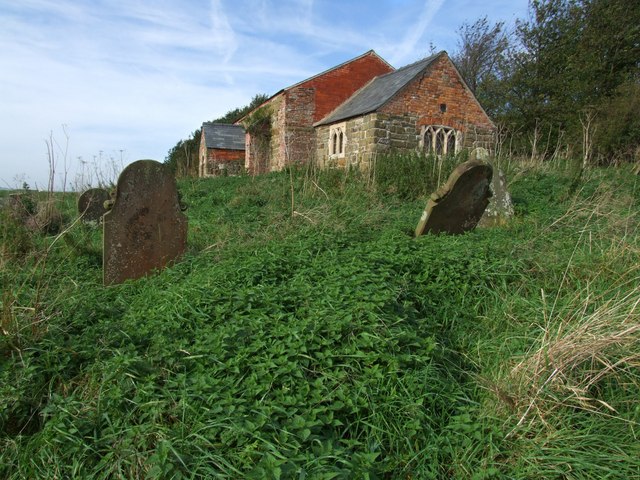
St John the Baptist's Church, Sutterby

St John the Baptist's Church is a redundant Anglican church in the village of Sutterby, Lincolnshire, England. It is recorded in the National Heritage...

Langton by Spilsby

Langton by Spilsby, sometimes called Langton by Partney, is a village and civil parish in the East Lindsey district of Lincolnshire, England. It is situated...

Brinkhill

Brinkhill is a village and civil parish in the East Lindsey district of Lincolnshire, England. It is situated approximately 5 miles (8 km) west from the...

Dexthorpe

Dexthorpe is a deserted medieval village in the East Lindsey district of Lincolnshire, England. It is in the parish of Dalby, and 3.5 miles (5.6 km) north...

Harrington, Lincolnshire

Harrington is a hamlet and civil parish in the East Lindsey district of Lincolnshire, England. It is situated 6 miles (10 km) south-west from Alford, and...

Aswardby

Aswardby (pronounced "as-ard-bee") is a village situated 4 miles (6 km) north-west from Spilsby, in the East Lindsey district of Lincolnshire, England...

Driby

Driby is a village and former civil parish, now in the parish of South Thoresby, in the East Lindsey district of Lincolnshire, England. It is situated...

Nearby Amenities

Located within 500m of 53.230139,0.078411578
Sutterby
Is In: Lincolnshire, England, UK
Place: hamlet
Source: Bing
Wikidata: Q7650168
Lat/Long: 53.2302402/0.0742681
Sutterby House Farm
Place: farm
Source: Bing
Lat/Long: 53.2296174/0.0757255
The data included in this document is from www.openstreetmap.org. The data is made available under ODbL.

Have you been to Willow Holt?

Leave your review of Willow Holt below (or comments, questions and feedback).