Langton Plantation
Wood, Forest in Lincolnshire East Lindsey
England
Langton Plantation
Langton Plantation is a picturesque woodland located in the county of Lincolnshire, England. Situated in the heart of the county, it covers an area of approximately 500 acres, making it one of the largest woodlands in the region. The plantation is part of the wider Langton Estate, which dates back to the medieval period.
The woodland is primarily composed of native broadleaf trees, such as oak, beech, and ash, which create a diverse and vibrant ecosystem. The dense canopy provides a haven for a wide range of flora and fauna, including various bird species, mammals, and insects. It is a designated Site of Special Scientific Interest (SSSI) due to its rich biodiversity and importance for conservation.
Visitors to Langton Plantation can enjoy a network of well-maintained footpaths that meander through the woodland. These paths offer stunning views of the surrounding countryside and provide an opportunity to explore the diverse habitats within the plantation. Interpretive signage is available along the trails, providing information about the wildlife and history of the area.
The woodland is managed sustainably, with selective logging and tree planting programs implemented to maintain a healthy and diverse ecosystem. Additionally, Langton Estate organizes regular educational and recreational events, such as guided nature walks and forest school activities, to engage the local community and promote appreciation for the natural environment.
Overall, Langton Plantation is a beautiful and ecologically significant woodland that offers a peaceful retreat for nature lovers and a valuable resource for wildlife conservation in Lincolnshire.
If you have any feedback on the listing, please let us know in the comments section below.
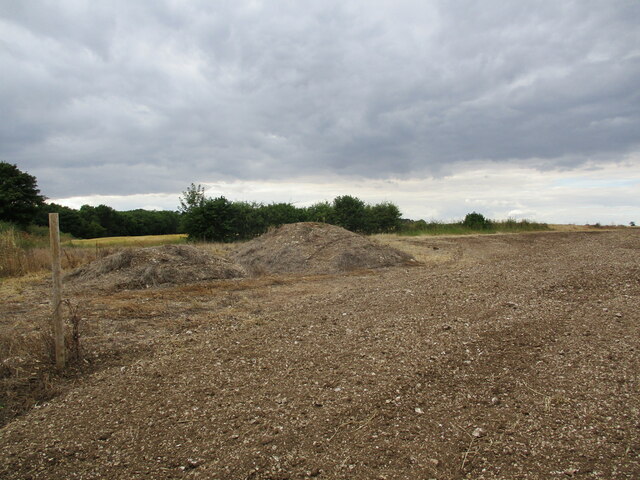
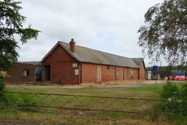
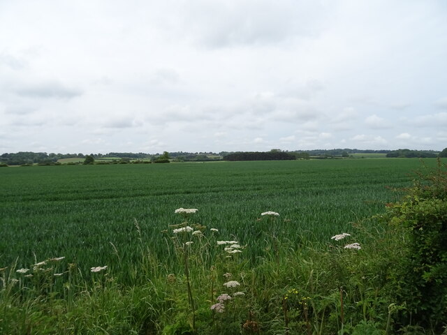
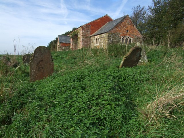
Langton Plantation Images
Images are sourced within 2km of 53.209864/0.075453169 or Grid Reference TF3870. Thanks to Geograph Open Source API. All images are credited.


Langton Plantation is located at Grid Ref: TF3870 (Lat: 53.209864, Lng: 0.075453169)
Administrative County: Lincolnshire
District: East Lindsey
Police Authority: Lincolnshire
What 3 Words
///swims.celebrate.joyously. Near Spilsby, Lincolnshire
Nearby Locations
Related Wikis

Langton by Spilsby
Langton by Spilsby, sometimes called Langton by Partney, is a village and civil parish in the East Lindsey district of Lincolnshire, England. It is situated...

Sausthorpe
Sausthorpe is a small village and civil parish in the East Lindsey district of Lincolnshire, England, 8 miles (13 km) east of Horncastle and 3 miles (4...

Aswardby
Aswardby (pronounced "as-ard-bee") is a village situated 4 miles (6 km) north-west from Spilsby, in the East Lindsey district of Lincolnshire, England...

Dalby, Lincolnshire
Dalby is a village and civil parish in the East Lindsey district of Lincolnshire, England. It is situated approximately 3 miles (5 km) north from the town...
Sutterby
Sutterby is a hamlet in the civil parish of Langton by Spilsby, in the East Lindsey district of Lincolnshire, England. It is situated 9 miles (14 km) south...
St John the Baptist's Church, Sutterby
St John the Baptist's Church is a redundant Anglican church in the village of Sutterby, Lincolnshire, England. It is recorded in the National Heritage...

Dexthorpe
Dexthorpe is a deserted medieval village in the East Lindsey district of Lincolnshire, England. It is in the parish of Dalby, and 3.5 miles (5.6 km) north...

Harrington, Lincolnshire
Harrington is a hamlet and civil parish in the East Lindsey district of Lincolnshire, England. It is situated 6 miles (10 km) south-west from Alford, and...
Nearby Amenities
Located within 500m of 53.209864,0.075453169Have you been to Langton Plantation?
Leave your review of Langton Plantation below (or comments, questions and feedback).