Beggar's Wood
Wood, Forest in Sussex Lewes
England
Beggar's Wood
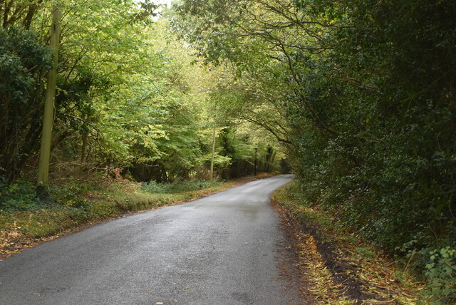
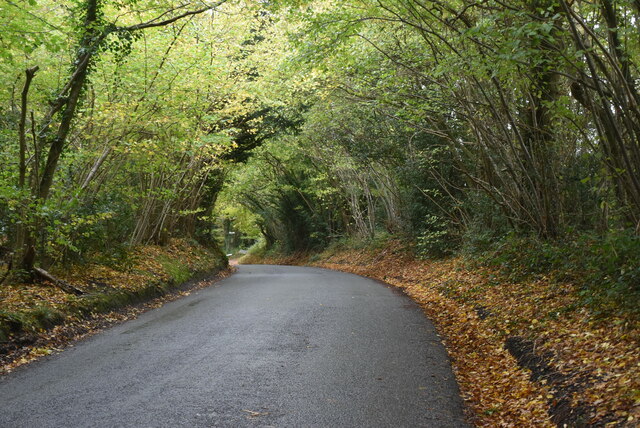
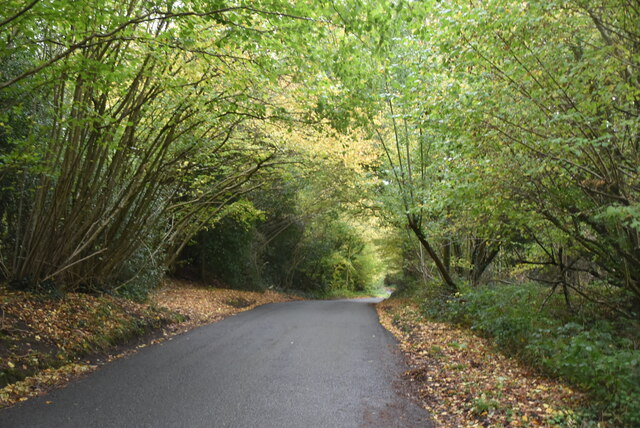
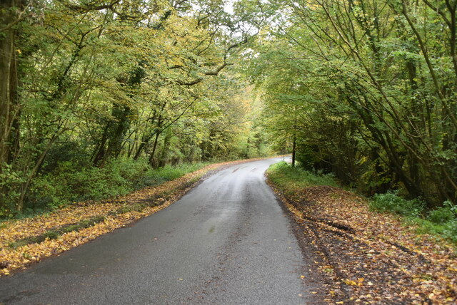
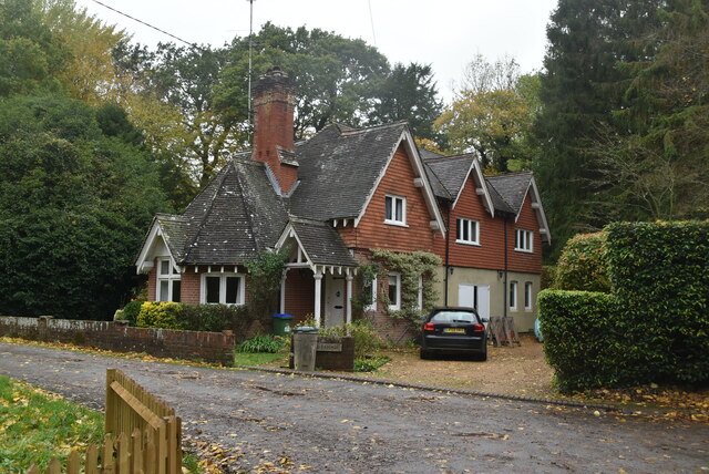
Beggar's Wood, located in Sussex, England, is a picturesque woodland area renowned for its natural beauty and tranquil atmosphere. Nestled within the South Downs National Park, this enchanting forest spans an area of approximately 100 acres and is a popular destination for nature enthusiasts and hikers alike.
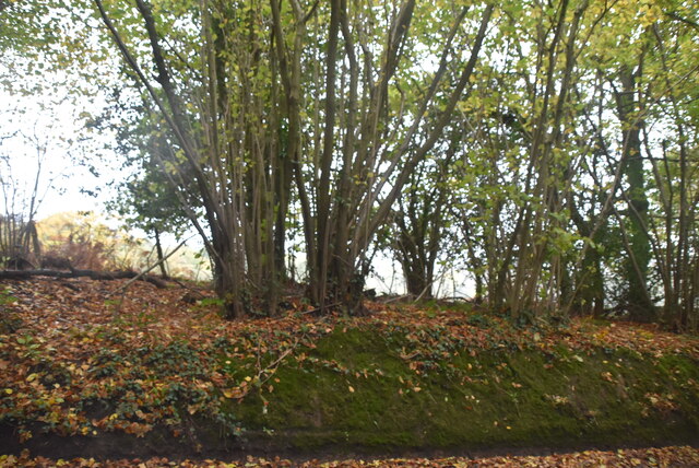
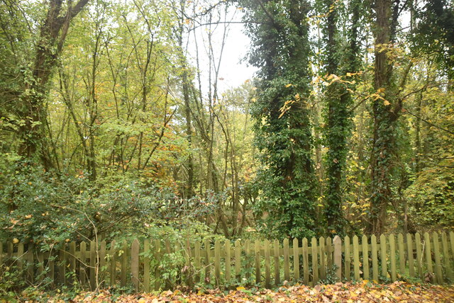
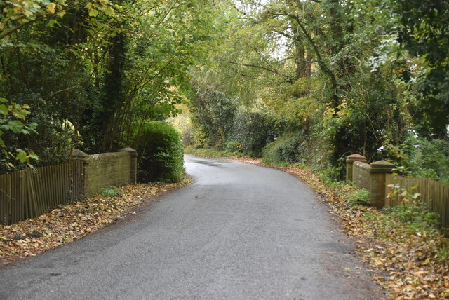
The wood is characterized by its dense canopy of towering oak and beech trees, creating a shaded and serene environment. The forest floor is adorned with an array of vibrant wildflowers during the spring and summer months, adding a splash of color to the surroundings. A network of well-maintained footpaths and trails meander through the wood, allowing visitors to explore its hidden treasures and discover the diverse flora and fauna that call this place home.
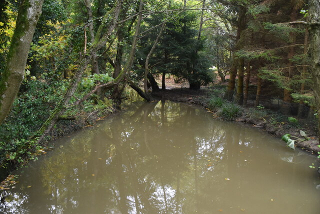
Beggar's Wood also boasts a small stream that meanders through its heart, providing a soothing soundtrack of trickling water and creating small pools that attract a variety of wildlife, including birds, butterflies, and small mammals. The wood is particularly known for its population of red squirrels, which can often be spotted scurrying through the treetops or foraging on the forest floor.
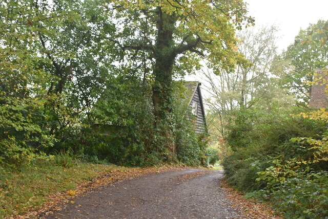
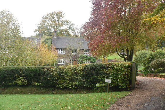
Visitors to Beggar's Wood can indulge in a peaceful retreat from the hustle and bustle of everyday life, taking advantage of the numerous picnic spots and benches scattered throughout the forest. The wood also offers a sense of history, as remnants of ancient settlements and earthworks can be found within its boundaries, providing a glimpse into the area's rich past.
In summary, Beggar's Wood is a captivating woodland oasis in Sussex, offering visitors a chance to reconnect with nature, explore its diverse ecosystem, and immerse themselves in its serene ambiance.
If you have any feedback on the listing, please let us know in the comments section below.
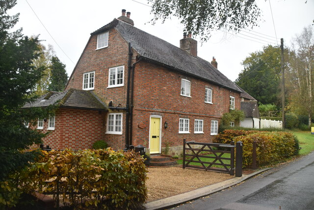
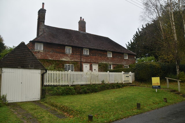
Beggar's Wood Images
Images are sourced within 2km of 50.966634/-0.027024593 or Grid Reference TQ3820. Thanks to Geograph Open Source API. All images are credited.


Beggar's Wood is located at Grid Ref: TQ3820 (Lat: 50.966634, Lng: -0.027024593)
Administrative County: East Sussex
District: Lewes
Police Authority: Sussex
What 3 Words
///behalf.souk.emphasis. Near Wivelsfield Green, East Sussex
Nearby Locations
Related Wikis

Chailey Heritage School
Chailey Heritage School is a special school located in North Chailey, East Sussex, England. It is owned and operated by the Chailey Heritage Foundation...

Heritage Mill, North Chailey
Heritage Mill, or Beard's Mill is a grade II listed smock mill at North Chailey, Sussex, England, which is maintained as a landmark and open to the public...

Chailey Moat
Chailey Moat is a Grade II listed building near the village of Chailey, East Sussex. It is a 16th-century moated two storey house with an 18th-century...

Chailey Common
Chailey Common is a 169 hectare (417.4 acre) biological site of Special Scientific Interest in the East Sussex. It is close to the village of North Chailey...

Chailey
Chailey is a village and civil parish in the Lewes District of East Sussex, England. It is located 7 miles north of Lewes, on the A272 road from Winchester...

Newick and Chailey railway station
Newick and Chailey was a railway station located in North Chailey and located near the villages of Newick and Chailey in East Sussex, England. It was part...

Scaynes Hill SSSI
Scaynes Hill is a 0.04-hectare (0.099-acre) geological Site of Special Scientific Interest north-west of Newick in East Sussex. It is a Geological Conservation...

RAF Chailey
RAF Chailey was a Royal Air Force Advanced Landing Ground close to the village of Chailey near Burgess Hill in East Sussex during the Second World War...
Nearby Amenities
Located within 500m of 50.966634,-0.027024593Have you been to Beggar's Wood?
Leave your review of Beggar's Wood below (or comments, questions and feedback).