Ash Holt

Wood, Forest in Lincolnshire East Lindsey

England

Ash Holt

The view towards Grimoldby Ings
The view towards Grimoldby Ings Credit: Andy Beecroft

Ash Holt, Lincolnshire is a small village located in the district of West Lindsey, England. Situated in the eastern part of the county, it lies approximately 12 miles northwest of the city of Lincoln. The village, also known as Ash Holt Wood or Ash Holt Forest, is surrounded by picturesque countryside and is renowned for its natural beauty.

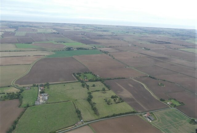
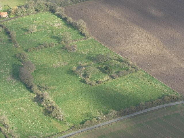
Covering an area of around 2.5 square miles, Ash Holt is characterized by its dense woodland and lush greenery. The village is home to a variety of tree species, including oak, beech, and birch, which form a vibrant and diverse ecosystem. The woodlands provide a habitat for various wildlife, such as deer, foxes, and numerous bird species, making it a popular destination for nature enthusiasts and birdwatchers.

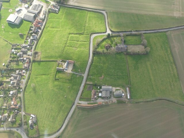
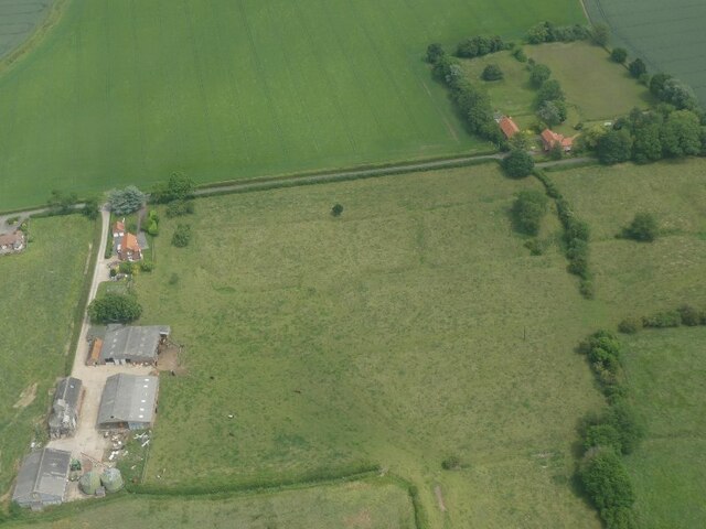
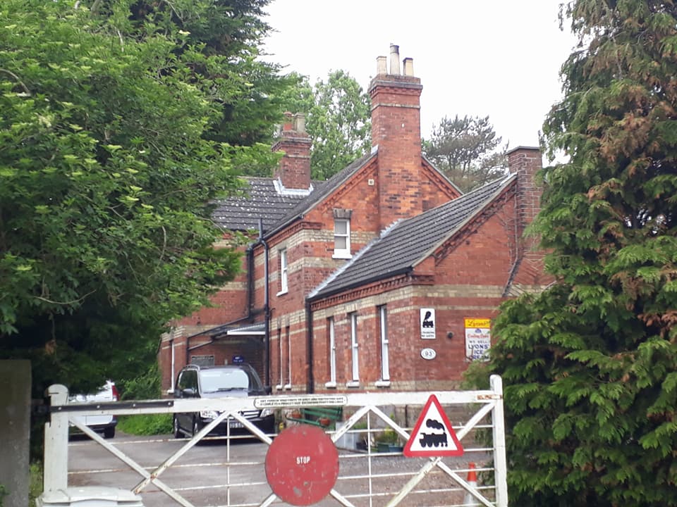
Ash Holt boasts a rich history that dates back centuries. The village was mentioned in the Domesday Book of 1086 and has since remained a close-knit community. The local architecture reflects its historical roots, with several traditional cottages and farmhouses dotting the landscape.

Despite its tranquil and rural setting, Ash Holt benefits from its proximity to larger towns and cities. The bustling city of Lincoln, with its historic castle and cathedral, offers a range of amenities and cultural attractions just a short drive away. Additionally, the village is well-connected by road, with easy access to major transport links, facilitating convenient travel to neighboring areas.

In summary, Ash Holt, Lincolnshire is a charming village nestled within a forested landscape. Its natural beauty, rich history, and convenient location make it an attractive place to live or visit for those seeking a peaceful retreat in the heart of the English countryside.

If you have any feedback on the listing, please let us know in the comments section below.

Ash Holt Images

Images are sourced within 2km of 53.377235/0.08177985 or Grid Reference TF3888. Thanks to Geograph Open Source API. All images are credited.

The view towards Grimoldby Ings
Farm track to Eastfield Farm There were a lot of vehicles about that day. I think there was a shoot about to start.
Farm track to Eastfield Farm
There were a lot of vehicles about that day. I think there was a shoot about to start.
The Lancaster Inn The sign above the door has seen better days.
The Lancaster Inn
The sign above the door has seen better days.
The sign of The Lancaster Inn See: <a href="https://www.geograph.org.uk/photo/6933804">TF3987 : The Lancaster Inn</a>
The sign of The Lancaster Inn
A jet provost model Serving as a village sign due to the former dominance of RAF Manby.  See: <a href="https://www.geograph.org.uk/photo/3728949">TF3987 : A sign for Grimoldby and Manby</a>
A jet provost model
Serving as a village sign due to the former dominance of RAF Manby. See: TF3987 : A sign for Grimoldby and Manby
Settlement of North Cockerington: aerial 2021 The settlement of North Cockerington (also known as Cockerington St Mary) is first documented in the Domesday Book, and therefore probably has its origins in the Anglo-Saxon period. See: <span class="nowrap"><a title="https://www.heritagegateway.org.uk/Gateway/Results_Single.aspx?uid=MLI83365&resourceID=1006" rel="nofollow ugc noopener" href="https://www.heritagegateway.org.uk/Gateway/Results_Single.aspx?uid=MLI83365&resourceID=1006">Link</a><img style="margin-left:2px;" alt="External link" title="External link - shift click to open in new window" src="https://s1.geograph.org.uk/img/external.png" width="10" height="10"/></span>

Included is the moated site of North Cockerington Hall, top left: <span class="nowrap"><a title="https://www.heritagegateway.org.uk/Gateway/Results_Single.aspx?uid=836a927c-5934-4ece-8686-5cfd98bd67fe&resourceID=19191" rel="nofollow ugc noopener" href="https://www.heritagegateway.org.uk/Gateway/Results_Single.aspx?uid=836a927c-5934-4ece-8686-5cfd98bd67fe&resourceID=19191">Link</a><img style="margin-left:2px;" alt="External link" title="External link - shift click to open in new window" src="https://s1.geograph.org.uk/img/external.png" width="10" height="10"/></span>

Very unfortunately, the brown field to the right do the moated site used also to contain earthworks, but these have now been completely ploughed out.
Settlement of North Cockerington: aerial 2021
The settlement of North Cockerington (also known as Cockerington St Mary) is first documented in the Domesday Book, and therefore probably has its origins in the Anglo-Saxon period. See: LinkExternal link Included is the moated site of North Cockerington Hall, top left: LinkExternal link Very unfortunately, the brown field to the right do the moated site used also to contain earthworks, but these have now been completely ploughed out.
Flush Bracket OSBM S3056: Manby This flush bracket benchmark is partly hidden by a drain pipe on the frontage of the Co-op shop.  See <a title="https://www.geograph.org.uk/photo/7004330" href="https://www.geograph.org.uk/photo/7004330">Link</a> for a wider view and <span class="nowrap"><a title="https://www.bench-marks.org.uk/bm19337" rel="nofollow ugc noopener" href="https://www.bench-marks.org.uk/bm19337">Link</a><img style="margin-left:2px;" alt="External link" title="External link - shift click to open in new window" src="https://s1.geograph.org.uk/img/external.png" width="10" height="10"/></span> for details.
Flush Bracket OSBM S3056: Manby
This flush bracket benchmark is partly hidden by a drain pipe on the frontage of the Co-op shop. See Link for a wider view and LinkExternal link for details.
The Co-op Shop in Manby On the near angle is a flush bracket benchmark partly hidden by a drain pipe on the frontage of the Co-op shop.  See <a title="https://www.geograph.org.uk/photo/7004327" href="https://www.geograph.org.uk/photo/7004327">Link</a> for a closer view and <span class="nowrap"><a title="https://www.bench-marks.org.uk/bm19337" rel="nofollow ugc noopener" href="https://www.bench-marks.org.uk/bm19337">Link</a><img style="margin-left:2px;" alt="External link" title="External link - shift click to open in new window" src="https://s1.geograph.org.uk/img/external.png" width="10" height="10"/></span> for details.
The Co-op Shop in Manby
On the near angle is a flush bracket benchmark partly hidden by a drain pipe on the frontage of the Co-op shop. See Link for a closer view and LinkExternal link for details.
Soil- and cropmark remains of South Cockerington Medieval Settlement: aerial 2022
Settlement of South Cockerington: aerial 2022 (1)
Moated site and boundary ditches, North Cockerington: aerial 2022
Settlement of Grimoldby: aerial 2022 See: <span class="nowrap"><a title="https://www.heritagegateway.org.uk/Gateway/Results_Single.aspx?uid=MLI88070&resourceID=1006" rel="nofollow ugc noopener" href="https://www.heritagegateway.org.uk/Gateway/Results_Single.aspx?uid=MLI88070&resourceID=1006">Link</a><img style="margin-left:2px;" alt="External link" title="External link - shift click to open in new window" src="https://s1.geograph.org.uk/img/external.png" width="10" height="10"/></span>
Settlement of Grimoldby: aerial 2022
See: LinkExternal link
Settlement of South Cockerington: aerial 2022 (2) See: <a href="https://www.geograph.org.uk/photo/7144768">TF3789 : Settlement of South Cockerington: aerial 2022 (1)</a> and <span class="nowrap"><a title="https://www.heritagegateway.org.uk/Gateway/Results_Single.aspx?uid=MLI43243&resourceID=1006" rel="nofollow ugc noopener" href="https://www.heritagegateway.org.uk/Gateway/Results_Single.aspx?uid=MLI43243&resourceID=1006">Link</a><img style="margin-left:2px;" alt="External link" title="External link - shift click to open in new window" src="https://s1.geograph.org.uk/img/external.png" width="10" height="10"/></span>
Settlement of South Cockerington: aerial 2022 (2)
Grimoldby: aerial 2022
North Cockerington: aerial 2022
Track off Middlesykes Lane, Grimoldby
Old Mill Lane, Grimoldby
Old Mill Lane near The Griff, Grimoldby
Show me another place!

Ash Holt is located at Grid Ref: TF3888 (Lat: 53.377235, Lng: 0.08177985)

Administrative County: Lincolnshire

District: East Lindsey

Police Authority: Lincolnshire

What 3 Words

///necks.tissue.aside. Near Manby, Lincolnshire

Nearby Locations

Ash Holt

Related Wikis

Related Videos

Furze Farm

Wee week away with the van at Louth Lincolnshire.

Truck Smashes into Cars at High Speed (Shocking Footage Warning)

Police have released shocking dashcam footage of a lorry crash that left a student with life-changing injuries. Price, from Manby in ...

Nearby Amenities

Located within 500m of 53.377235,0.08177985
Grimoldby Grange
Alt Name: Grange Farm
Place: farm
Source: Bing
Lat/Long: 53.3769289/0.0849051
West View Farm
Place: farm
Source: Bing
Lat/Long: 53.379481/0.0762544
Generator Method: photovoltaic
Generator Output Electricity: yes
Generator Source: solar
Generator Type: solar_photovoltaic_panel
Location: roof
Power: generator
Lat/Long: 53.3793272/0.0753371
Turning Loop
Lat/Long: 53.3746755/0.0853625
Tree Surgeons & Hardwood Log Suppliers
Addr City: Louth
Addr Country: GB
Addr Housename: The Old Granary, Grimoldby Grange
Addr Postcode: LN11 8TF
Addr Street: Tinkle Street
Addr Suburb: Grimoldby
Email: southcockrobin@hotmail.co.uk
Mobile: +44 7948 215 548
Nohousenumber: yes
Phone: +44 1507 824 108
Shop: trade
Trade: timber
Website: http://treeandgroundworkservices.weebly.com/
Lat/Long: 53.3764534/0.0844172
Post Box
Collection Times: Mo-Fr 09:00; Sa 07:00
Operator: Royal Mail
Operator Wikidata: Q638098
Post Box Mounting: pier
Post Box Type: lamp
Ref: LN11 99
Lat/Long: 53.3771482/0.0857086
The data included in this document is from www.openstreetmap.org. The data is made available under ODbL.

Have you been to Ash Holt?

Leave your review of Ash Holt below (or comments, questions and feedback).