Oaken Wood
Wood, Forest in Sussex Mid Sussex
England
Oaken Wood
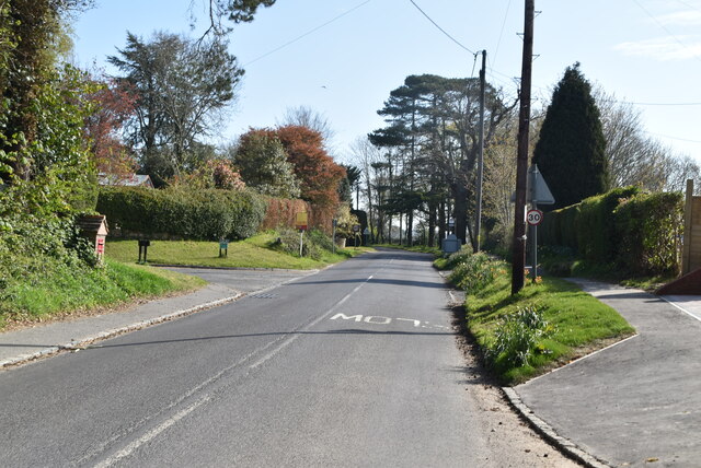
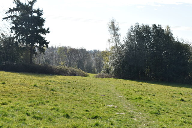
Oaken Wood, located in Sussex, England, is a picturesque forest known for its natural beauty and rich biodiversity. Covering an area of approximately 500 hectares, the woodland is predominantly composed of ancient oak trees, hence its name. The wood is located in close proximity to the village of Cuckfield and is easily accessible for visitors.
Oaken Wood boasts a diverse range of flora and fauna, making it a popular destination for nature enthusiasts and wildlife lovers. The forest floor is carpeted with a variety of wildflowers, including bluebells, primroses, and wood anemones, which create a vibrant and colorful display during the spring months.
The woodland is home to a wide array of wildlife, including deer, foxes, badgers, and various species of birds. Birdwatchers flock to Oaken Wood to catch glimpses of rare and endangered species such as nightjars, woodpeckers, and tawny owls. The forest also supports a thriving population of butterflies, with species such as the brimstone, orange tip, and silver-washed fritillary fluttering among the trees.
Walking trails meander through Oaken Wood, allowing visitors to explore its enchanting landscape. These paths offer stunning views of the ancient oaks, with their gnarled branches and moss-covered trunks creating a sense of timeless beauty. The wood is also home to a number of hidden clearings and tranquil ponds, providing opportunities for peaceful reflection and relaxation.
Overall, Oaken Wood is a captivating forest that showcases the natural wonders of Sussex. Its ancient oaks, diverse wildlife, and scenic trails make it a must-visit destination for those seeking a connection with nature and a glimpse into the region's rich biodiversity.
If you have any feedback on the listing, please let us know in the comments section below.
Oaken Wood Images
Images are sourced within 2km of 51.049775/-0.029029362 or Grid Reference TQ3829. Thanks to Geograph Open Source API. All images are credited.


Oaken Wood is located at Grid Ref: TQ3829 (Lat: 51.049775, Lng: -0.029029362)
Administrative County: West Sussex
District: Mid Sussex
Police Authority: Sussex
What 3 Words
///clasping.lengthen.ballooned. Near Horsted Keynes, West Sussex
Nearby Locations
Related Wikis
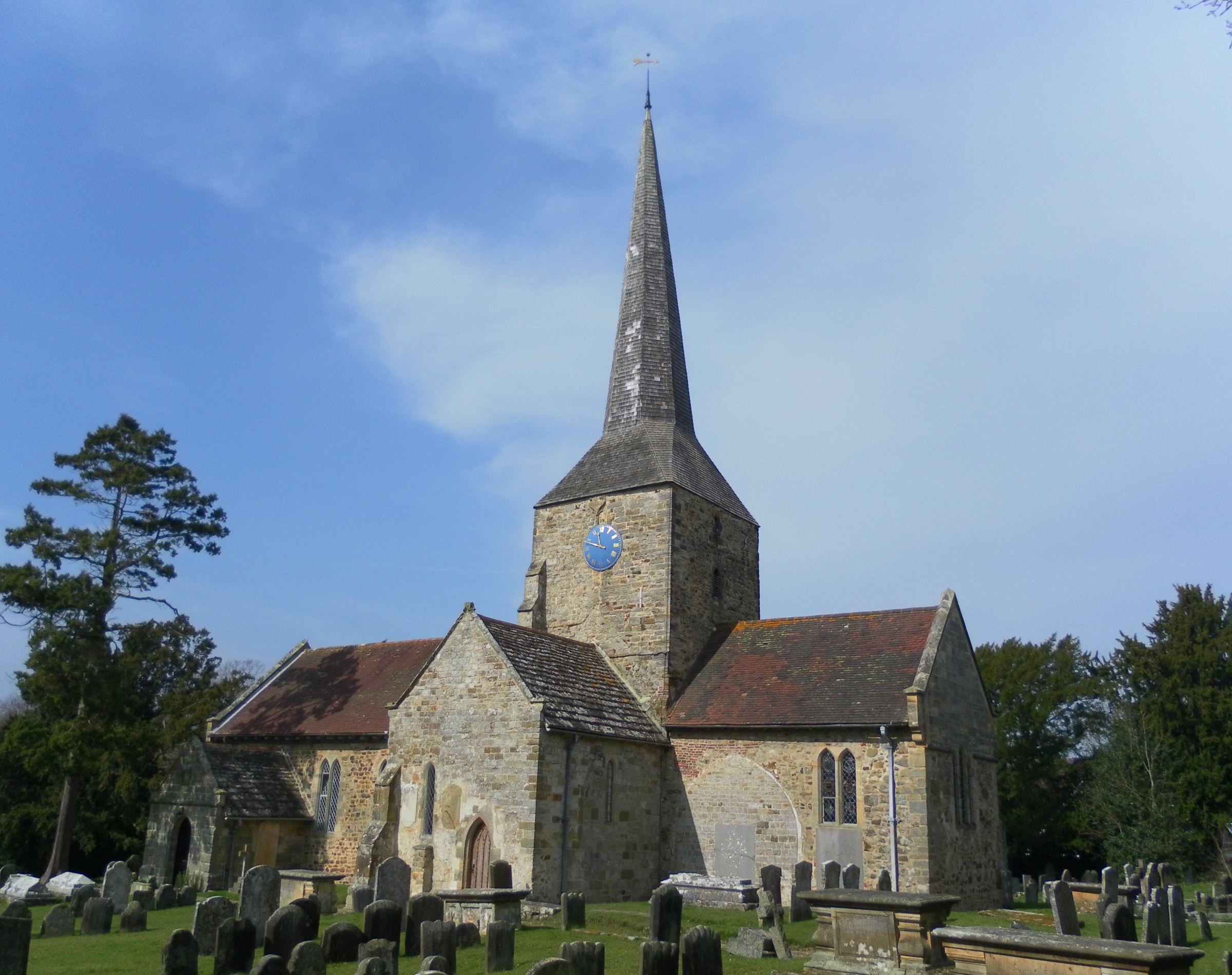
St Giles' Church, Horsted Keynes
St Giles' Church is an Anglican church in the village of Horsted Keynes in Mid Sussex, one of seven local government districts in the English county of...

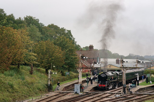
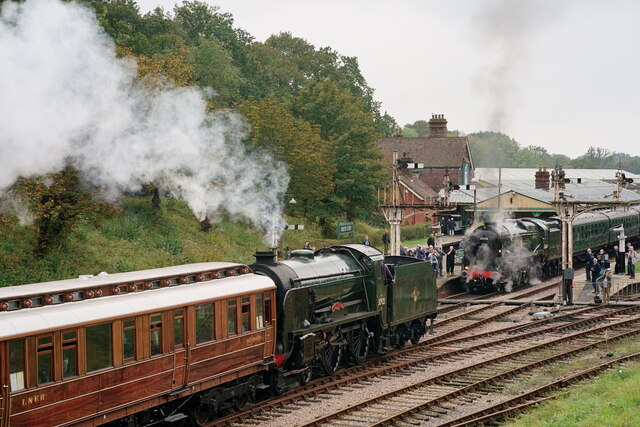
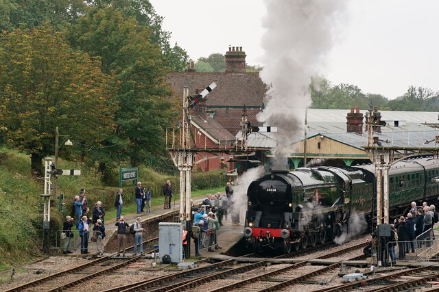
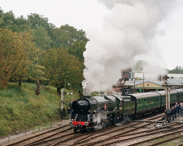
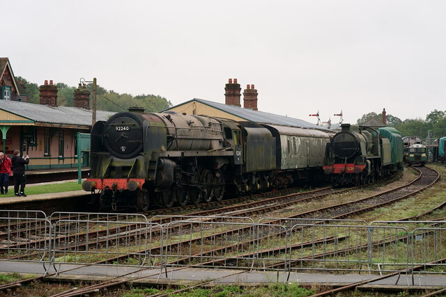
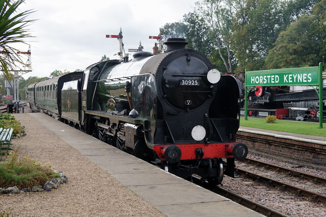
Horsted Keynes railway station
Horsted Keynes railway station is a preserved railway station on the Bluebell Railway in Sussex. The station has been used as a shooting location in several...

Lindfield & High Weald (electoral division)
Lindfield & High Weald is an electoral division of West Sussex in the United Kingdom, and returns one member to sit on West Sussex County Council. ��2...

Horsted Keynes
Horsted Keynes KAYNZ is a village and civil parish in the Mid Sussex District of West Sussex, England. The village is about 5 miles (8 km) north east...
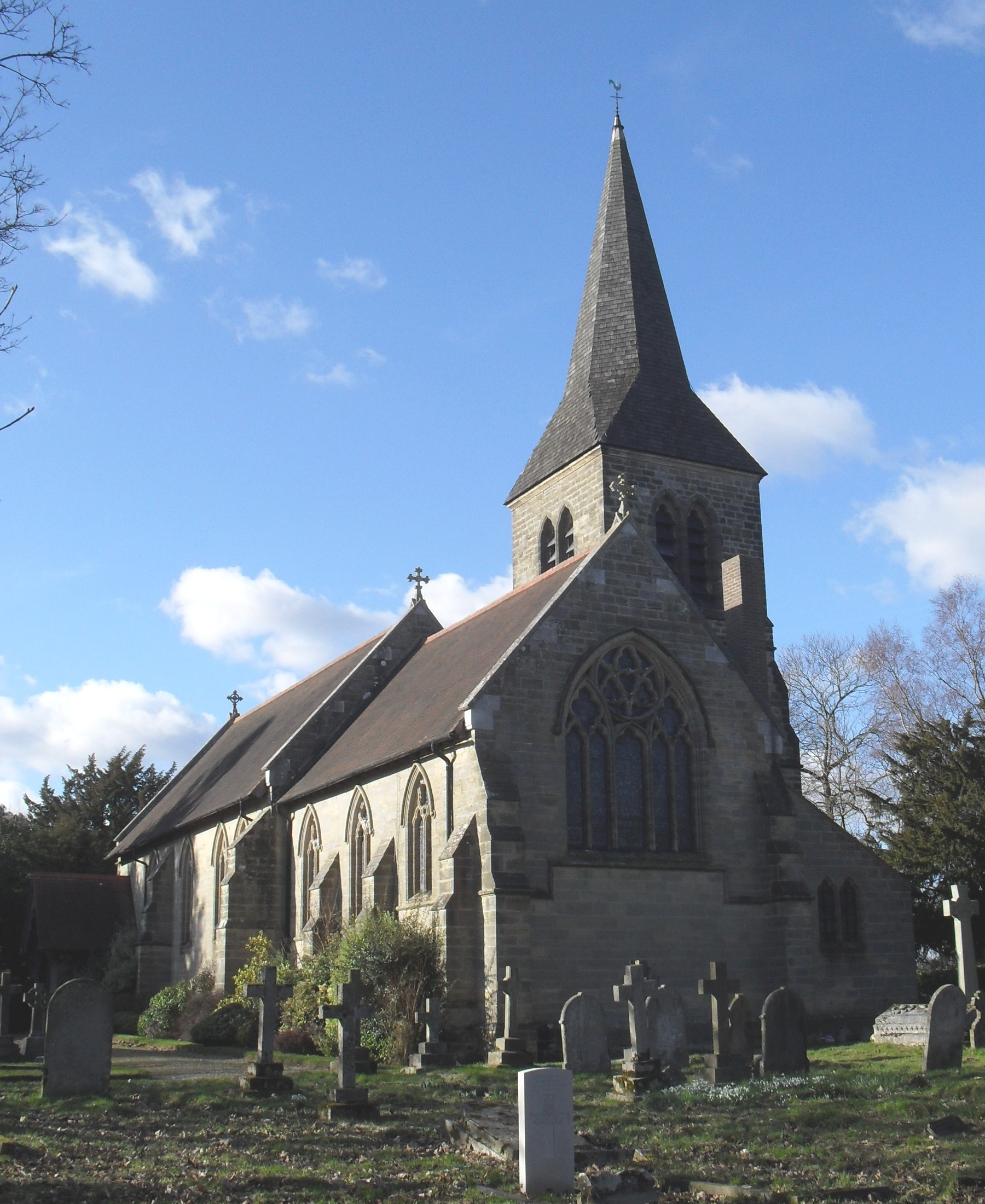
All Saints Church, Highbrook
All Saints Church is an Anglican church in the hamlet of Highbrook in Mid Sussex, one of seven local government districts in the English county of West...

Bluebell Railway
The Bluebell Railway is an 11 mi (17.7 km) heritage line almost entirely in West Sussex in England, except for Sheffield Park which is in East Sussex....

Isaac Roberts' Observatory
Isaac Roberts' Observatory was an observatory, installed in the private home of the British astronomer Isaac Roberts. It was in Crowborough, Sussex, and...

Birch Grove
Birch Grove, Horsted Keynes, West Sussex, England is a country house dating from 1926. It was the family home of the British prime minister Harold Macmillan...
Nearby Amenities
Located within 500m of 51.049775,-0.029029362Have you been to Oaken Wood?
Leave your review of Oaken Wood below (or comments, questions and feedback).