Wildboar Wood

Wood, Forest in Sussex Mid Sussex

England

Wildboar Wood

Ketche's Lane
Ketche's Lane Credit: N Chadwick

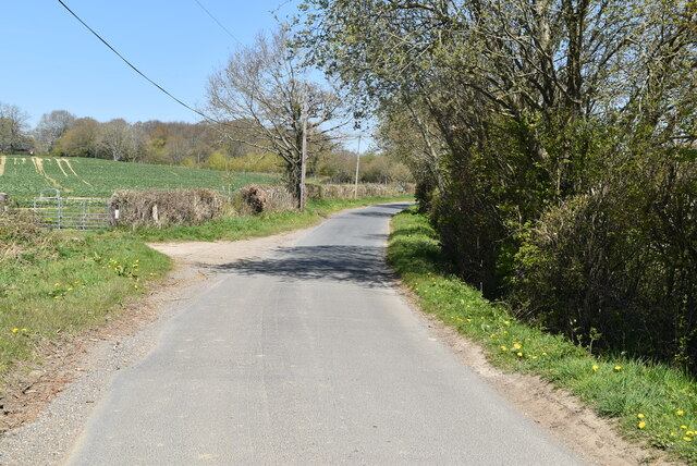
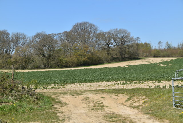
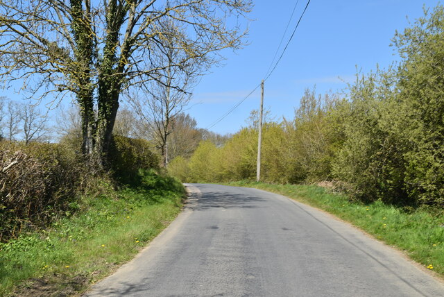
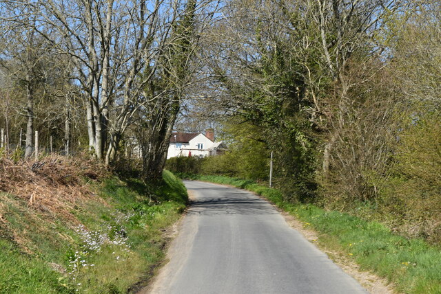
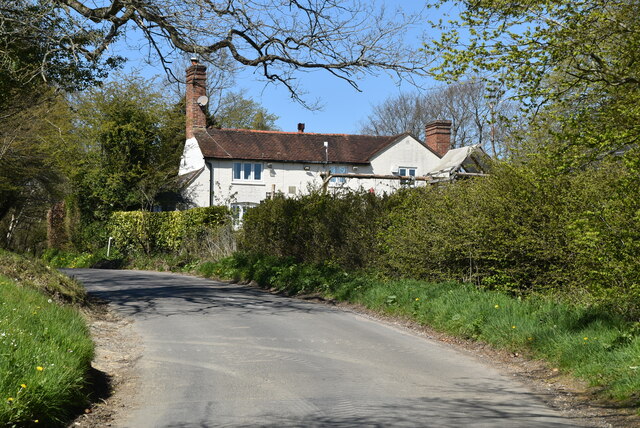
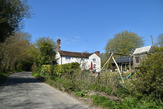
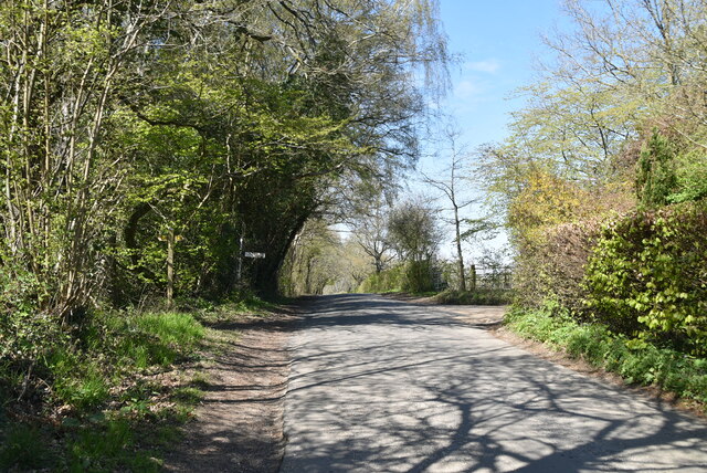
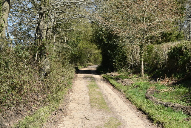
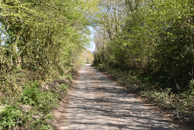
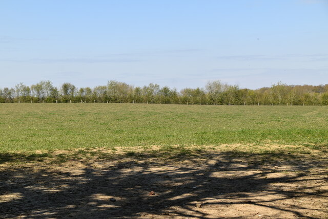
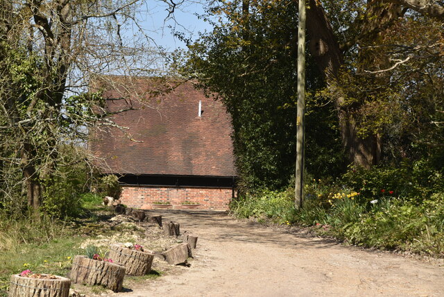
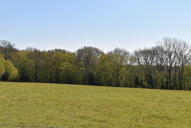
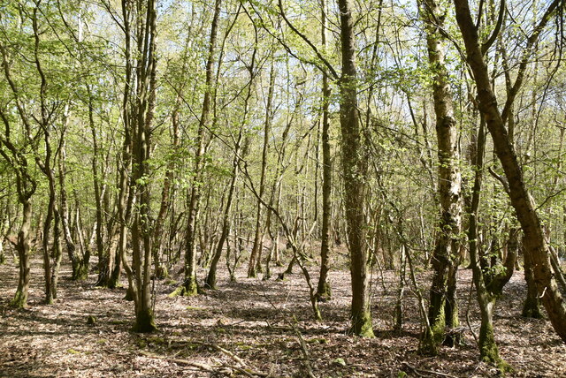
Wildboar Wood is a picturesque woodland located in Sussex, England. Spanning over an area of approximately 50 acres, it is a captivating natural haven that attracts nature enthusiasts and outdoor adventurers alike. The woodland is situated amidst the rolling countryside, offering a serene and tranquil atmosphere for visitors to immerse themselves in nature's beauty.

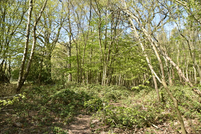
The wood is predominantly composed of a diverse range of tree species, including oak, beech, and birch, which create a rich and vibrant canopy overhead. The forest floor is blanketed with a lush carpet of ferns, bluebells, and wildflowers, adding to the enchanting ambiance of the wood.

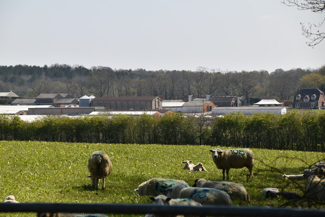
Wildboar Wood is renowned for its abundant wildlife. Visitors may catch glimpses of deer gracefully roaming through the trees or squirrels scurrying about. The wood is also home to a variety of bird species, including woodpeckers, nightingales, and owls, making it a paradise for birdwatchers.

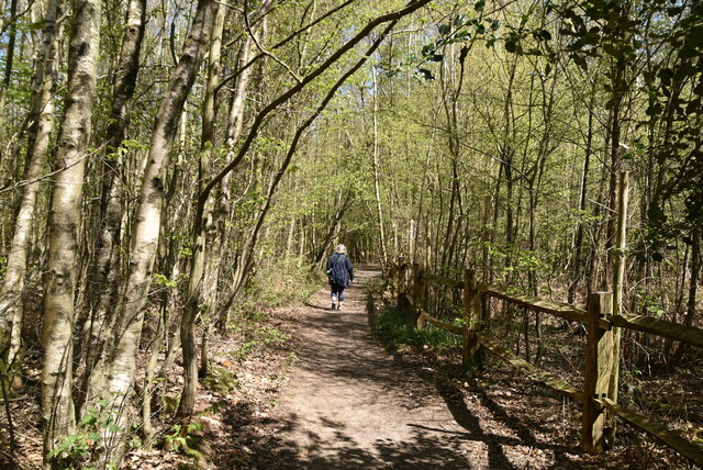
Exploring Wildboar Wood is a delight for adventure seekers, with numerous walking trails and pathways meandering through the forest. Visitors can embark on leisurely strolls, discovering hidden pockets of natural beauty, or venture further into the wood to test their navigational skills.

The wood is equipped with basic facilities, including picnic areas and benches, allowing visitors to relax and soak in the peaceful surroundings. Additionally, there are designated areas for camping, providing an opportunity for nature enthusiasts to spend a night under the stars.

Overall, Wildboar Wood in Sussex offers a captivating and immersive experience in nature, with its breathtaking scenery, diverse wildlife, and opportunities for outdoor exploration.

If you have any feedback on the listing, please let us know in the comments section below.

Wildboar Wood Images

Images are sourced within 2km of 51.015293/-0.034255707 or Grid Reference TQ3725. Thanks to Geograph Open Source API. All images are credited.

Ketche's Lane
Ketche's Lane
Arable field by Ketche's Lane
Brickpits Farm
Brickpits Farm
Ketche's Lane
Ketche's Lane
Ketche's Lane
Ketche's Lane
Kingswood Cottage
Kingswood Cottage
Kingswood Cottage
Kingswood Cottage
Ketche's Lane
Ketche's Lane
Sussex Border Path The Sussex Border Path is a footpath route nearly 150 miles long around the inland boundary of the county of Sussex. The county owes its origins to the kingdom of the South Saxons and can claim to have one of the longest inland county boundaries from Emsworth to Rye. The route was devised in 1983 and is well signed along most of the route. Website <span class="nowrap"><a title="http://www.sussexborderpath.co.uk/" rel="nofollow ugc noopener" href="http://www.sussexborderpath.co.uk/">Link</a><img style="margin-left:2px;" alt="External link" title="External link - shift click to open in new window" src="https://s1.geograph.org.uk/img/external.png" width="10" height="10"/></span> 
Map: <a title="https://www.geograph.org.uk/search.php?i=40140109&page=1&displayclass=map#i=40140109&page=1&displayclass=map&zoom=2&lat=51.03263&lon=-0.05427&layers=FTTB00000000000T" href="https://www.geograph.org.uk/search.php?i=40140109&page=1&displayclass=map#i=40140109&page=1&displayclass=map&zoom=2&lat=51.03263&lon=-0.05427&layers=FTTB00000000000T">Link</a>
Sussex Border Path
The Sussex Border Path is a footpath route nearly 150 miles long around the inland boundary of the county of Sussex. The county owes its origins to the kingdom of the South Saxons and can claim to have one of the longest inland county boundaries from Emsworth to Rye. The route was devised in 1983 and is well signed along most of the route. Website LinkExternal link Map: Link
Farmland by Sussex Border Path
Sheep grazing
Sheep grazing
Pond, Northland Farm
Northlands Farm
Northlands Farm
Farmland and Northland Wood
Northland Wood
Northland Wood
Sussex Border Path, Northland Wood The Sussex Border Path is a footpath route nearly 150 miles long around the inland boundary of the county of Sussex. The county owes its origins to the kingdom of the South Saxons and can claim to have one of the longest inland county boundaries from Emsworth to Rye. The route was devised in 1983 and is well signed along most of the route. Website <span class="nowrap"><a title="http://www.sussexborderpath.co.uk/" rel="nofollow ugc noopener" href="http://www.sussexborderpath.co.uk/">Link</a><img style="margin-left:2px;" alt="External link" title="External link - shift click to open in new window" src="https://s1.geograph.org.uk/img/external.png" width="10" height="10"/></span> 
Map: <a title="https://www.geograph.org.uk/search.php?i=40140109&page=1&displayclass=map#i=40140109&page=1&displayclass=map&zoom=2&lat=51.03263&lon=-0.05427&layers=FTTB00000000000T" href="https://www.geograph.org.uk/search.php?i=40140109&page=1&displayclass=map#i=40140109&page=1&displayclass=map&zoom=2&lat=51.03263&lon=-0.05427&layers=FTTB00000000000T">Link</a>
Sussex Border Path, Northland Wood
The Sussex Border Path is a footpath route nearly 150 miles long around the inland boundary of the county of Sussex. The county owes its origins to the kingdom of the South Saxons and can claim to have one of the longest inland county boundaries from Emsworth to Rye. The route was devised in 1983 and is well signed along most of the route. Website LinkExternal link Map: Link
Northland Wood
Northland Wood
Show me another place!

Wildboar Wood is located at Grid Ref: TQ3725 (Lat: 51.015293, Lng: -0.034255707)

Administrative County: West Sussex

District: Mid Sussex

Police Authority: Sussex

What 3 Words

///sparkles.neat.ferried. Near Horsted Keynes, West Sussex

Related Wikis

Freshfield Lane

Freshfield Lane is a 17-hectare (42-acre) geological Site of Special Scientific Interest east of Haywards Heath in West Sussex. It is a Geological Conservation...

Great Walstead School

Great Walstead School is a private day school for girls and boys between the ages of 2½ and 13 years with a Christian ethos. It has some 400 children in...

Bluebell Railway

The Bluebell Railway is an 11 mi (17.7 km) heritage line almost entirely in West Sussex in England, except for Sheffield Park which is in East Sussex....

Horsted Keynes

Horsted Keynes KAYNZ is a village and civil parish in the Mid Sussex District of West Sussex, England. The village is about 5 miles (8 km) north east...

Forest Way

The Forest Way is a linear Country park providing walking, cycling, horse riding and the quiet enjoyment of the countryside. It runs for around 16 km...

Eastern Road Nature Reserve

Eastern Road Nature Reserve is a 3.5-hectare (8.6-acre) Local Nature Reserve on the eastern outskirts of Haywards Heath in West Sussex. It is owned and...

Lindfield Rural

Lindfield Rural is a civil parish in the Mid Sussex District of West Sussex, England. It is located on the southern slopes of the Weald, five miles (8...

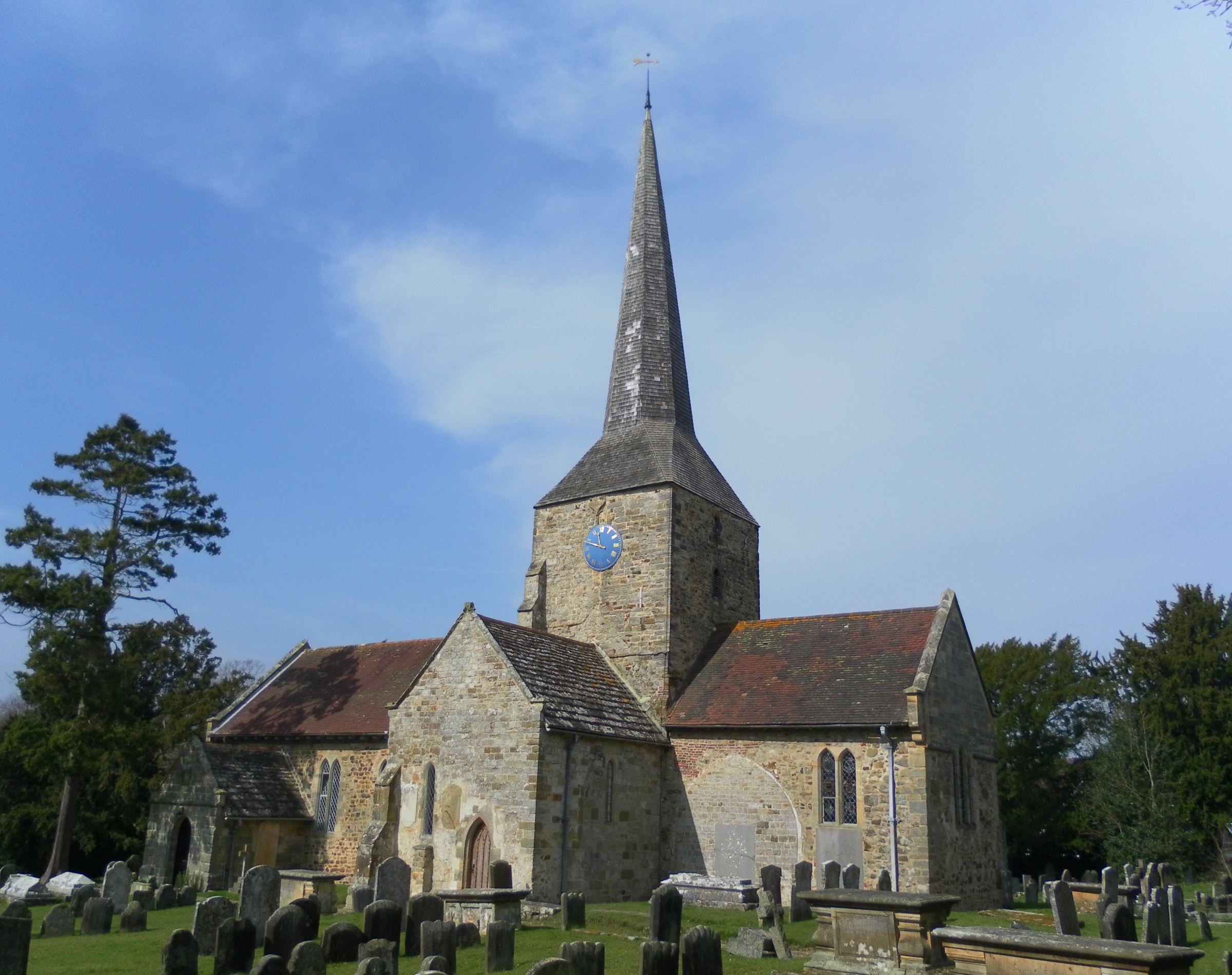
St Giles' Church, Horsted Keynes

St Giles' Church is an Anglican church in the village of Horsted Keynes in Mid Sussex, one of seven local government districts in the English county of...

Nearby Amenities

Located within 500m of 51.015293,-0.034255707
Wild Boar Wood Campsite
Fee: yes
Internet Access: no
Operator: Eco Camp UK
Power: no
Tourism: camp_site
Website: https://www.ecocampuk.co.uk/wild-boar-wood-campsite/
Lat/Long: 51.015606/-0.0348539
Post Box
Collection Times: Mo-Fr 16:45; Sa 09:15
Operator: Royal Mail
Ref: RH17 39
Royal Cypher: EIIR
Royal Cypher Wikidata: Q33102113
Lat/Long: 51.0127929/-0.0291109
Cockhaise Mill Farm
Place: isolated_dwelling
Lat/Long: 51.0147457/-0.0381087
Freshfield Crossways
Place: locality
Lat/Long: 51.0128772/-0.0291127
Power: pole
Lat/Long: 51.0137774/-0.0395486
Power: pole
Lat/Long: 51.013655/-0.0383311
Power: pole
Lat/Long: 51.0138398/-0.036919
Power: pole
Lat/Long: 51.0140201/-0.0354892
Freshfield Halt
Historic Railway: station
Railway: site
Lat/Long: 51.013992/-0.035291
The data included in this document is from www.openstreetmap.org. The data is made available under ODbL.

Have you been to Wildboar Wood?

Leave your review of Wildboar Wood below (or comments, questions and feedback).