Broom Coppice

Wood, Forest in Surrey Tandridge

England

Broom Coppice

Warlingham Park The old tower (1903) of the Warlingham Park Hospital (formerly known as the Croydon Mental Hospital) is still standing and can be seen for miles, but the place is now an exclusive gated residential community.
Warlingham Park Credit: Nigel Freeman

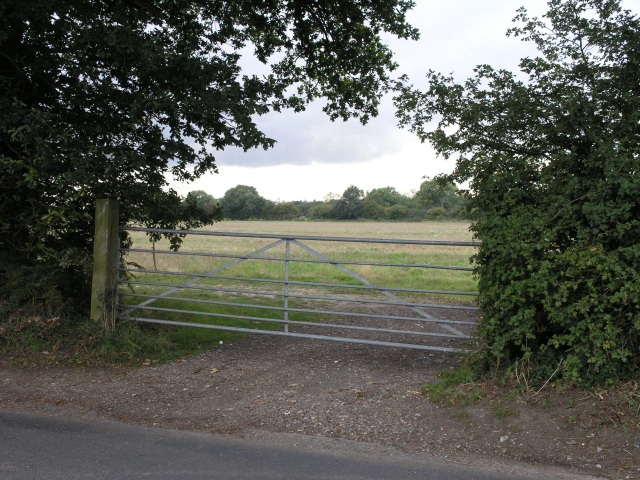
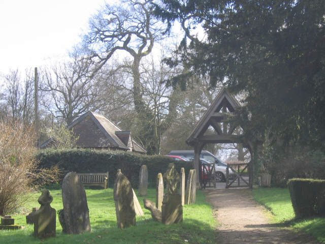
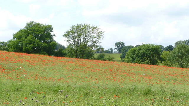
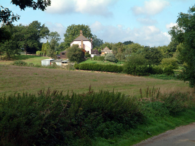
Broom Coppice, located in Surrey, England, is a beautiful wood that spans an area of approximately 100 acres. This enchanting forest is situated in the heart of Surrey Hills Area of Outstanding Natural Beauty, providing a tranquil and serene escape for visitors.

The wood is predominantly composed of oak and beech trees, which create a dense canopy that allows only dappled sunlight to filter through to the forest floor. This creates an ethereal and magical atmosphere, making Broom Coppice a popular spot for nature enthusiasts, hikers, and photographers alike.

The forest is home to a rich variety of wildlife, including deer, foxes, badgers, and numerous bird species. Visitors may be lucky enough to spot a roe deer grazing amongst the undergrowth or catch a glimpse of a red kite soaring above the treetops.

Broom Coppice offers several walking trails, ranging from short strolls to longer hikes, catering to all levels of fitness and interests. These well-maintained paths wind through the forest, providing opportunities to explore its hidden corners and discover its natural wonders.

In addition to its natural beauty, Broom Coppice also holds historical significance. The wood has been managed for centuries and has been a vital resource for timber production. It is a living testament to the traditional woodland management techniques that have shaped the landscape of Surrey.

Overall, Broom Coppice is a captivating woodland that offers visitors a chance to immerse themselves in nature, explore its diverse flora and fauna, and experience the tranquility of this treasured Surrey gem.

If you have any feedback on the listing, please let us know in the comments section below.

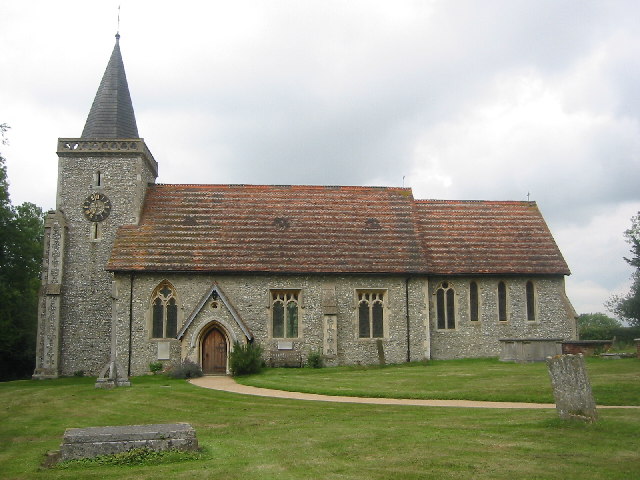
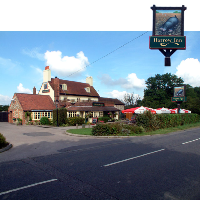
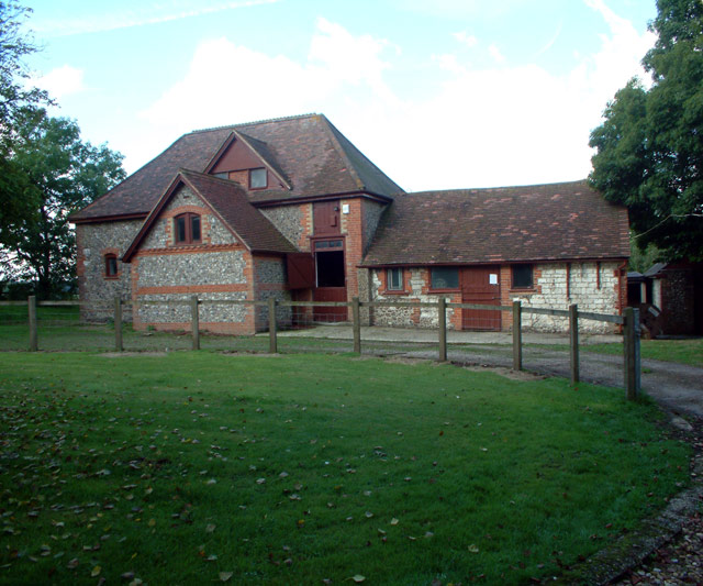
Broom Coppice Images

Images are sourced within 2km of 51.320408/-0.021784434 or Grid Reference TQ3759. Thanks to Geograph Open Source API. All images are credited.

Warlingham Park The old tower (1903) of the Warlingham Park Hospital (formerly known as the Croydon Mental Hospital) is still standing and can be seen for miles, but the place is now an exclusive gated residential community.
Warlingham Park
The old tower (1903) of the Warlingham Park Hospital (formerly known as the Croydon Mental Hospital) is still standing and can be seen for miles, but the place is now an exclusive gated residential community.
The Parish Church of St. Leonard Chelsham Located on a footpath off Church Lane Chelsham, near Warlingham
See <span class="nowrap"><a title="http://www.southwark.anglican.org/parishes/303k2_a.htm" rel="nofollow ugc noopener" href="http://www.southwark.anglican.org/parishes/303k2_a.htm">Link</a><img style="margin-left:2px;" alt="External link" title="External link - shift click to open in new window" src="https://s1.geograph.org.uk/img/external.png" width="10" height="10"/></span>
The Parish Church of St. Leonard Chelsham
Located on a footpath off Church Lane Chelsham, near Warlingham See LinkExternal link
Knights Garden Centre, Warlingham CR6 off Limpsfield Road
Knights Garden Centre, Warlingham CR6
off Limpsfield Road
The Harrow Inn, Old Farleigh Road, Farleigh, CR6
Stables at entrance to Chelsham Court, CR6
Washpond Cottages, Washpond Lane, CR6
Henley Wood, CR6 Looking west from Ledgers Road.
Henley Wood, CR6
Looking west from Ledgers Road.
The Bull Inn, Chelsham Common, CR6 South aspect, with cricket pitch in foreground.
The Bull Inn, Chelsham Common, CR6
South aspect, with cricket pitch in foreground.
Farm gate Some fields, intersected by a road which follows the course of an old Roman Road. The path of the roman road can be seen just behind the gate.
Farm gate
Some fields, intersected by a road which follows the course of an old Roman Road. The path of the roman road can be seen just behind the gate.
St Christopher's Church, Warlingham An unusual building for an Anglican parish church, St Christopher's was built in 1906 and was a Church Army mission until after World War 2.  It is a timber building and was extended in the 1960's.
St Christopher's Church, Warlingham
An unusual building for an Anglican parish church, St Christopher's was built in 1906 and was a Church Army mission until after World War 2. It is a timber building and was extended in the 1960's.
Mosaic window, St Christopher's Church, Warlingham The east window of <a href="https://www.geograph.org.uk/photo/358344">TQ3658 : St Christopher's Church, Warlingham</a> created in the 1960's in an unusual technique of mosaic sized pieces of coloured plastic film between acrylic sheets.  Artist unknown.  For the legend of St Christopher on which the picture is based see <span class="nowrap"><a title="http://www.catholic.org/saints/saint.php?saint_id=36" rel="nofollow ugc noopener" href="http://www.catholic.org/saints/saint.php?saint_id=36">Link</a><img style="margin-left:2px;" alt="External link" title="External link - shift click to open in new window" src="https://s1.geograph.org.uk/img/external.png" width="10" height="10"/></span>
Mosaic window, St Christopher's Church, Warlingham
The east window of TQ3658 : St Christopher's Church, Warlingham created in the 1960's in an unusual technique of mosaic sized pieces of coloured plastic film between acrylic sheets. Artist unknown. For the legend of St Christopher on which the picture is based see LinkExternal link
St Leonard's churchyard, Chelsham Lych gate and tombstones in the churchyard of St Leonard's parish church <a href="https://www.geograph.org.uk/photo/33783">TQ3859 : The Parish Church of St. Leonard Chelsham</a>
St Leonard's churchyard, Chelsham
Lych gate and tombstones in the churchyard of St Leonard's parish church TQ3859 : The Parish Church of St. Leonard Chelsham
Maidstone buses at Chelsham Garage In 1977, a shortage of buses compelled London Country to hire in vehicles from other operators in order to maintain services.  The light blue and cream Maidstone double-deckers brought in for Route 403 were quite distinctive.  Four of these buses (Nos 28, 30, 31 and 35) are seen in the centre of this picture, with a London Transport Routemaster on the right for comparison.
Maidstone buses at Chelsham Garage
In 1977, a shortage of buses compelled London Country to hire in vehicles from other operators in order to maintain services. The light blue and cream Maidstone double-deckers brought in for Route 403 were quite distinctive. Four of these buses (Nos 28, 30, 31 and 35) are seen in the centre of this picture, with a London Transport Routemaster on the right for comparison.
Poppy-covered Landscape Near Chelsham
Two little fish 2001. This window works well and is a good example of where less is more.
Two little fish 2001.
This window works well and is a good example of where less is more.
Harrow Inn, Farleigh, Surrey
Greenlawn Memorial Park, Warlingham This is a 'lawn cemetery' as in there are no headstones, just plaques or tablets in the ground.
Greenlawn Memorial Park, Warlingham
This is a 'lawn cemetery' as in there are no headstones, just plaques or tablets in the ground.
Greenlawn Memorial Park, Warlingham The main entrance
Greenlawn Memorial Park, Warlingham
The main entrance
Show me another place!

Broom Coppice is located at Grid Ref: TQ3759 (Lat: 51.320408, Lng: -0.021784434)

Administrative County: Surrey

District: Tandridge

Police Authority: Surrey

What 3 Words

///blocks.valve.impact. Near Warlingham, Surrey

Related Wikis

Chelsham

Chelsham is a village and former civil parish, now in the parish of Chelsham and Farleigh and the Tandridge district of Surrey, England. It is located...
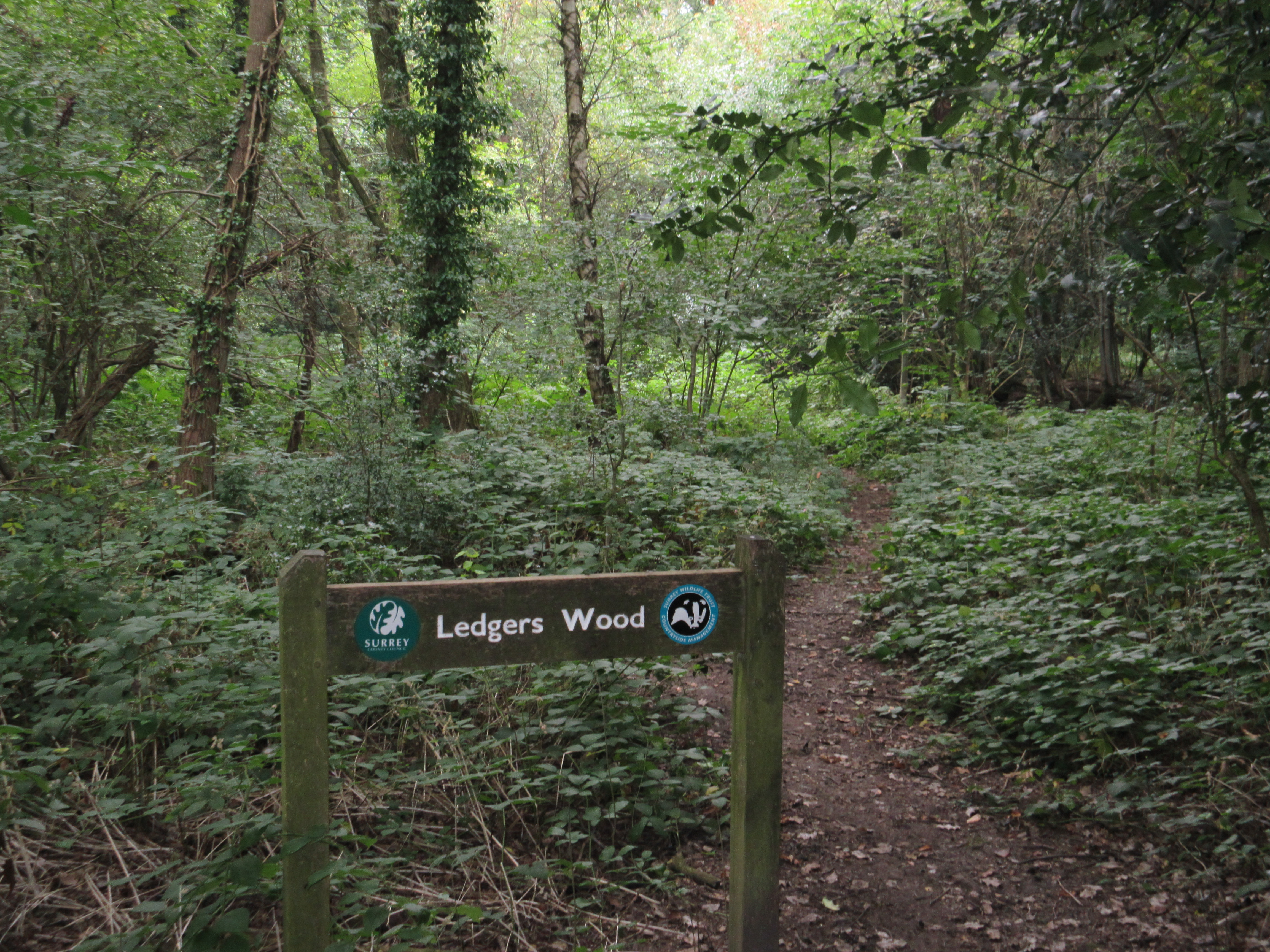
Ledgers Wood

Ledgers Wood is a 7-hectare (17-acre) nature reserve in Chelsham in Surrey. It is owned by Surrey County Council and managed by the Surrey Wildlife Trust...

Warlingham Park Hospital

Warlingham Park Hospital was a psychiatric hospital in Warlingham, Surrey. == History == The hospital, which was designed by George Oatley and Willie Swinton...

Chelsham and Farleigh

Chelsham and Farleigh is a civil parish in the Tandridge District of Surrey, England. The parish is high on the North Downs and centred 14 miles (23 km...

Farleigh, Surrey

Farleigh is a village and former civil parish, now in the parish of Chelsham and Farleigh in the Tandridge district of Surrey, England. It is located in...

Farleigh Rovers F.C.

Farleigh Rovers Football Club is a football club based in Warlingham, Surrey, England. The club are currently members of the Surrey South Eastern Combination...

Hutchinson's Bank

Hutchinson's Bank is 21.8 hectare Local Nature Reserve and Site of Metropolitan Importance for Nature Conservation in New Addington in the London Borough...

Meridian High School, Croydon

Meridian High School is a coeducational secondary school with academy status, located in the New Addington area of the London Borough of Croydon, England...

Nearby Amenities

Located within 500m of 51.320408,-0.021784434
Parking
Lat/Long: 51.3233695/-0.0219566
Barrier: stile
Lat/Long: 51.3161617/-0.0202329
Barrier: stile
Lat/Long: 51.316464/-0.0195567
Barrier: stile
Lat/Long: 51.3184246/-0.0252496
Barrier: stile
Lat/Long: 51.319059/-0.0225504
Barrier: stile
Lat/Long: 51.320585/-0.0230542
Barrier: stile
Lat/Long: 51.322775/-0.022511
Coal tax post
Historic: boundary_stone
Inscription: 24 & 25 VICT CAP 42
Material: iron
Lat/Long: 51.3240025/-0.0180659
Barrier: stile
Lat/Long: 51.3208904/-0.0194448
Barrier: stile
Lat/Long: 51.320992/-0.0193754
Barrier: stile
Lat/Long: 51.3177027/-0.021934
The data included in this document is from www.openstreetmap.org. The data is made available under ODbL.

Have you been to Broom Coppice?

Leave your review of Broom Coppice below (or comments, questions and feedback).