Ewerby Thorpe

Settlement in Lincolnshire North Kesteven

England

Ewerby Thorpe

Ash Holt, near Ewerby Thorpe
Ash Holt, near Ewerby Thorpe Credit: Chris

Ewerby Thorpe is a small village located in the county of Lincolnshire, England. It is situated approximately 9 miles south-east of the town of Sleaford, and is part of the North Kesteven district. The village rests on the eastern bank of the River Slea, surrounded by picturesque countryside.

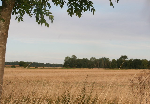
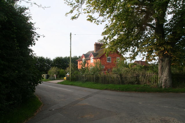
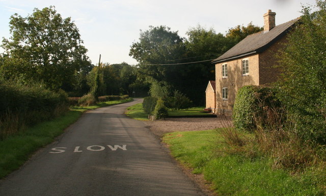
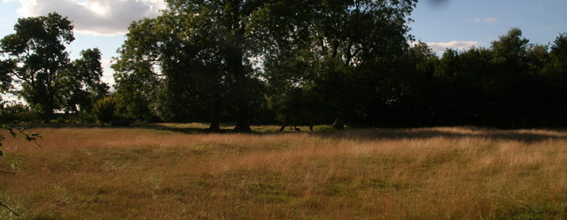
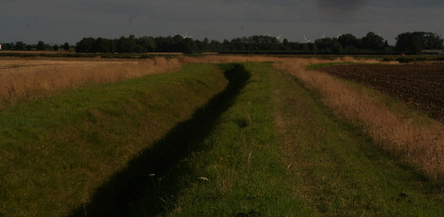
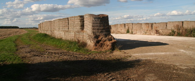
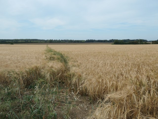
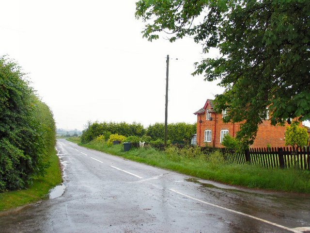
Ewerby Thorpe is known for its charming rural setting, with rolling hills and green fields dominating the landscape. The village is home to a tight-knit community, with a population of around 200 residents. The architecture of Ewerby Thorpe showcases a blend of traditional and modern styles, with a mix of thatched cottages and contemporary houses.

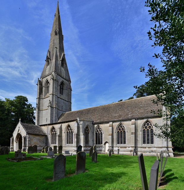
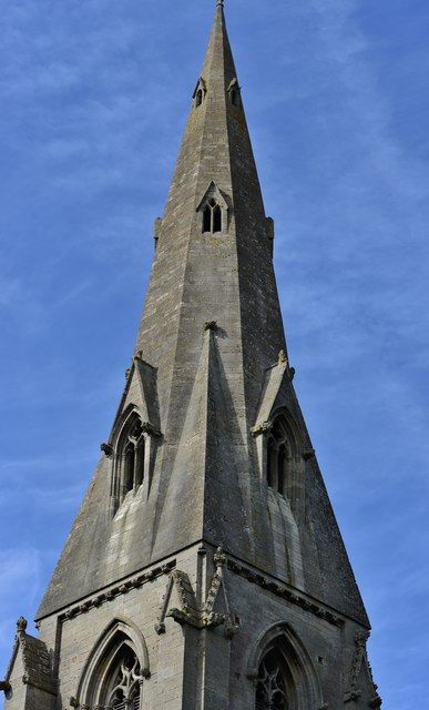
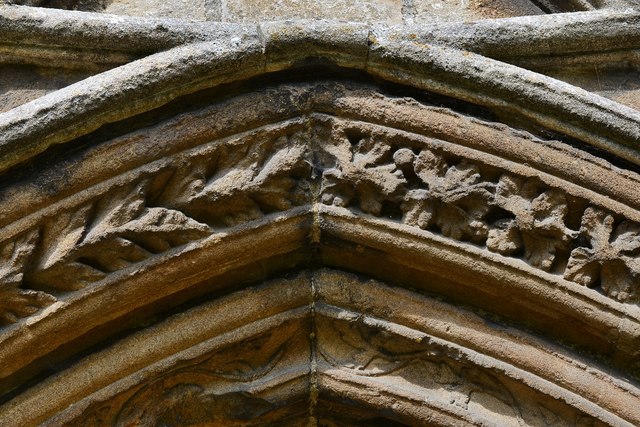
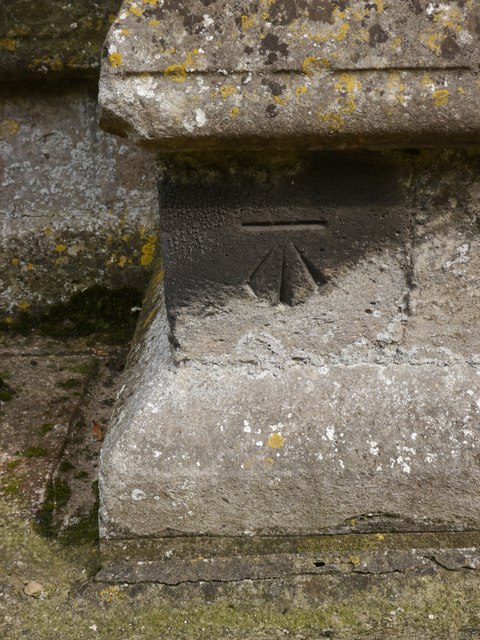
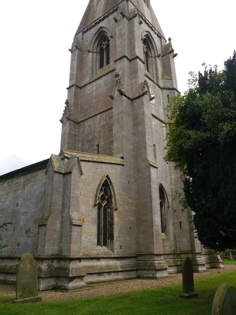
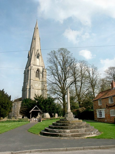
One of the notable features of the village is St. Andrew's Church, a Grade I listed building that dates back to the 13th century. The church boasts stunning stained glass windows and intricate stonework, attracting visitors from far and wide. Additionally, there are several footpaths and bridleways in the area, providing opportunities for leisurely walks and exploring the surrounding countryside.

Despite its small size, Ewerby Thorpe benefits from a strong sense of community spirit. The village has a local pub, The Carpenters Arms, which serves as a social hub for residents and visitors alike. The pub offers a warm and friendly atmosphere, along with a selection of traditional food and drinks.

In summary, Ewerby Thorpe is a quaint village in Lincolnshire that offers peaceful countryside living. With its historic church, beautiful scenery, and friendly community, it is an idyllic place to call home or visit for a tranquil escape.

If you have any feedback on the listing, please let us know in the comments section below.

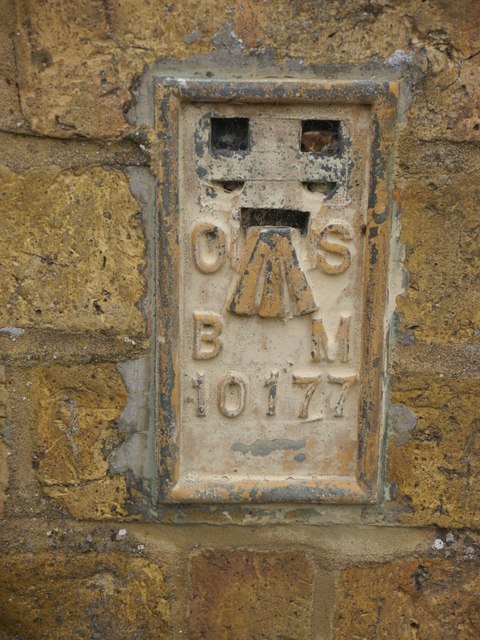
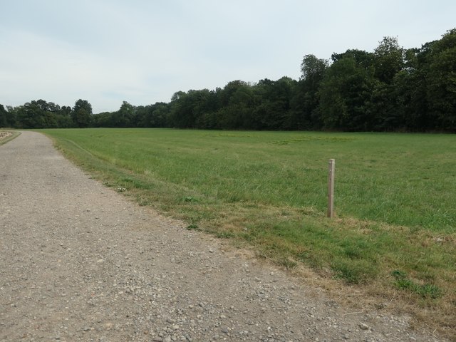
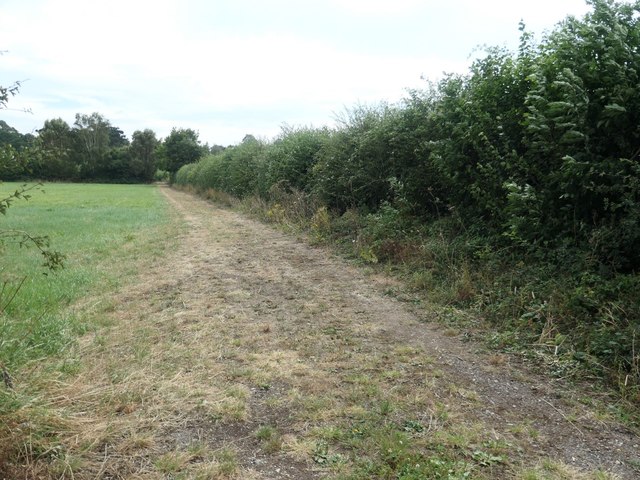
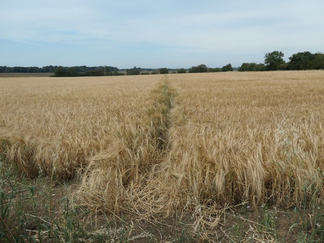
Ewerby Thorpe Images

Images are sourced within 2km of 53.014634/-0.310543 or Grid Reference TF1347. Thanks to Geograph Open Source API. All images are credited.

Ash Holt, near Ewerby Thorpe
Cottages in Ewerby Thorpe
Cottage in Howell
Cottage in Howell
Pylons passing SW of Howell, towards Boughton Plantation
Paddock by Manor Farm, Howell Ridge and furrow field.
Paddock by Manor Farm, Howell
Ridge and furrow field.
View from Howell Fen Drove towards Bicker Fen Windfarm The turning blades draw the eye, even at a distance of 9k. And another windfarm has been approved only 7k away on Heckington Fen.
View from Howell Fen Drove towards Bicker Fen Windfarm
The turning blades draw the eye, even at a distance of 9k. And another windfarm has been approved only 7k away on Heckington Fen.
Straw stackyard off Howell Fen Road
Ewerby: St. Andrew's Church
Ewerby, St. Andrew's Church: The spire, its long broaches rising direct from the walls
Ewerby, St. Andrew's Church: The south doorway with carved foliage around it
Cut Mark: Ewerby, St Andrew's Church Cut bench mark on the north-west angle.  See <a title="https://www.geograph.org.uk/photo/5530040" href="https://www.geograph.org.uk/photo/5530040">Link</a> for a wider view and <span class="nowrap"><a title="http://www.bench-marks.org.uk/bm53211" rel="nofollow ugc noopener" href="http://www.bench-marks.org.uk/bm53211">Link</a><img style="margin-left:2px;" alt="External link" title="External link - shift click to open in new window" src="https://s1.geograph.org.uk/img/external.png" width="10" height="10"/></span> for details.
Cut Mark: Ewerby, St Andrew's Church
Cut bench mark on the north-west angle. See Link for a wider view and LinkExternal link for details.
Ewerby, St Andrew's Church There is a cut bench mark on the north-west angle.  See <a title="https://www.geograph.org.uk/photo/5530037" href="https://www.geograph.org.uk/photo/5530037">Link</a> for a closer view and <span class="nowrap"><a title="http://www.bench-marks.org.uk/bm53211" rel="nofollow ugc noopener" href="http://www.bench-marks.org.uk/bm53211">Link</a><img style="margin-left:2px;" alt="External link" title="External link - shift click to open in new window" src="https://s1.geograph.org.uk/img/external.png" width="10" height="10"/></span> for details.
Ewerby, St Andrew's Church
There is a cut bench mark on the north-west angle. See Link for a closer view and LinkExternal link for details.
Flush Bracket OSBM 10177: Ewerby, School Flush bracket bench mark on a former school, now part of a private house.  See <span class="nowrap"><a title="http://www.bench-marks.org.uk/bm21837" rel="nofollow ugc noopener" href="http://www.bench-marks.org.uk/bm21837">Link</a><img style="margin-left:2px;" alt="External link" title="External link - shift click to open in new window" src="https://s1.geograph.org.uk/img/external.png" width="10" height="10"/></span> for details of the mark.
Flush Bracket OSBM 10177: Ewerby, School
Flush bracket bench mark on a former school, now part of a private house. See LinkExternal link for details of the mark.
Strip of woodland off Park Lane Narrow and irregular in shape, the strip of woodland wriggles for about a mile between Evedon Wood and Haverholme Wood.
Strip of woodland off Park Lane
Narrow and irregular in shape, the strip of woodland wriggles for about a mile between Evedon Wood and Haverholme Wood.
Track running south from Park Lane, Ewerby Providing private access to the rear of properties on Main Street.
Track running south from Park Lane, Ewerby
Providing private access to the rear of properties on Main Street.
Public footpath to the Lodge at Haverholme Heading north from Park Lane at Ewerby.
Public footpath to the Lodge at Haverholme
Heading north from Park Lane at Ewerby.
Public footpath cutting the corner off Park Lane Heading north-west from Ewerby.
Public footpath cutting the corner off Park Lane
Heading north-west from Ewerby.
Show me another place!

Ewerby Thorpe is located at Grid Ref: TF1347 (Lat: 53.014634, Lng: -0.310543)

Division: Parts of Kesteven

Administrative County: Lincolnshire

District: North Kesteven

Police Authority: Lincolnshire

What 3 Words

///workbook.dance.bridges. Near Heckington, Lincolnshire

Nearby Locations

Ewerby Thorpe

Related Wikis

Ewerby Thorpe

Ewerby Thorpe is a hamlet in the civil parish of Ewerby and Evedon, in the North Kesteven district of Lincolnshire, England. It lies 2 miles (3.2 km) north...

Ewerby and Evedon

Ewerby and Evedon is a civil parish in North Kesteven, Lincolnshire, England. It includes the villages of Ewerby and Evedon, the hamlet of Haverholme,...

Ewerby

Ewerby is a village in the civil parish of Ewerby and Evedon, in the North Kesteven district of Lincolnshire, England. It lies 3 miles (4.8 km) north-east...

Howell, Lincolnshire

Howell is a hamlet in the North Kesteven district of Lincolnshire, approximately 1 mile (1.6 km) north of the A17, 4 miles (6 km) east from Sleaford, and...

Asgarby and Howell

Asgarby and Howell is a civil parish in the North Kesteven district of Lincolnshire, England, consisting of the villages of Asgarby and Howell. According...

Boughton, Lincolnshire

Boughton is a hamlet in Lincolnshire, England. It is in the civil parish of Asgarby and Howell. == External links == Media related to Boughton, Lincolnshire...

Car Dyke

The Car Dyke was, and to a large extent still is, a long ditch which runs along the western edge of the Fens in eastern England for a distance of over...

Asgarby, North Kesteven

Asgarby is a village in the civil parish of Asgarby and Howell, in the North Kesteven district of Lincolnshire, England. It is situated on the A17 Boston...

Nearby Amenities

Located within 500m of 53.014634,-0.310543
Ewerby Thorpe
Is In: Lincolnshire, England, UK
Place: hamlet
Source: NPE
Lat/Long: 53.0149408/-0.314853
Bus Stop
Austhorpe Farm
Naptan AtcoCode: 270002700546
Naptan Bearing: W
Naptan CommonName: Austhorpe Farm
Naptan Indicator: opp
Naptan Landmark: Austhorpe Farm
Naptan NaptanCode: lingdtgd
Naptan Street: Thorpe Road
Naptan Verified: no
Source: naptan_import
Lat/Long: 53.0145625/-0.3137862
Bus Stop
Austhorpe Farm
Naptan AtcoCode: 2700LET06320
Naptan Bearing: E
Naptan CommonName: Austhorpe Farm
Naptan Indicator: adj
Naptan Landmark: Austhorpe Farm
Naptan NaptanCode: lingawpa
Naptan Street: Thorpe Road
Naptan Verified: no
Source: naptan_import
Lat/Long: 53.0146259/-0.3138136
The data included in this document is from www.openstreetmap.org. The data is made available under ODbL.

Have you been to Ewerby Thorpe?

Leave your review of Ewerby Thorpe below (or comments, questions and feedback).