Bull Green
Wood, Forest in Surrey Tandridge
England
Bull Green
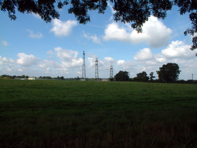
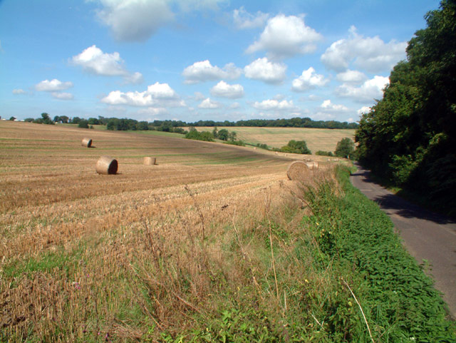
Bull Green is a small woodland area located in the county of Surrey, England. It is situated near the village of Wood, within the larger region of Surrey Hills Area of Outstanding Natural Beauty. This scenic woodland covers an approximate area of 10 acres.
The forest is characterized by its diverse range of trees, including oak, beech, and birch. These trees create a lush and vibrant canopy that provides habitat for a variety of wildlife species. Deer, badgers, foxes, and numerous bird species can be found within the woodland.
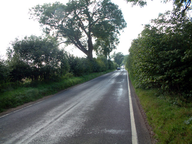
Bull Green is a popular destination for nature enthusiasts and outdoor lovers. It offers several walking trails that wind through the forest, providing visitors with opportunities to explore and experience the beauty of the natural surroundings. These trails vary in length and difficulty, catering to both casual strollers and more experienced hikers.
In addition to its natural beauty, Bull Green also has historical significance. It is believed that the woodland has existed for centuries, dating back to medieval times. There are remnants of old stone walls and boundaries that hint at its historical use.
The woodland is managed and maintained by local authorities, ensuring its preservation and protection for future generations to enjoy. Facilities such as picnic areas and benches are available for visitors to relax and take in the peaceful atmosphere.
Overall, Bull Green in Surrey is a tranquil and picturesque woodland, offering a serene escape from the hustle and bustle of everyday life. Its natural beauty, diverse wildlife, and historical significance make it a cherished destination for both locals and tourists alike.
If you have any feedback on the listing, please let us know in the comments section below.
Bull Green Images
Images are sourced within 2km of 51.312904/-0.026397644 or Grid Reference TQ3758. Thanks to Geograph Open Source API. All images are credited.


Bull Green is located at Grid Ref: TQ3758 (Lat: 51.312904, Lng: -0.026397644)
Administrative County: Surrey
District: Tandridge
Police Authority: Surrey
What 3 Words
///pram.beans.number. Near Warlingham, Surrey
Nearby Locations
Related Wikis
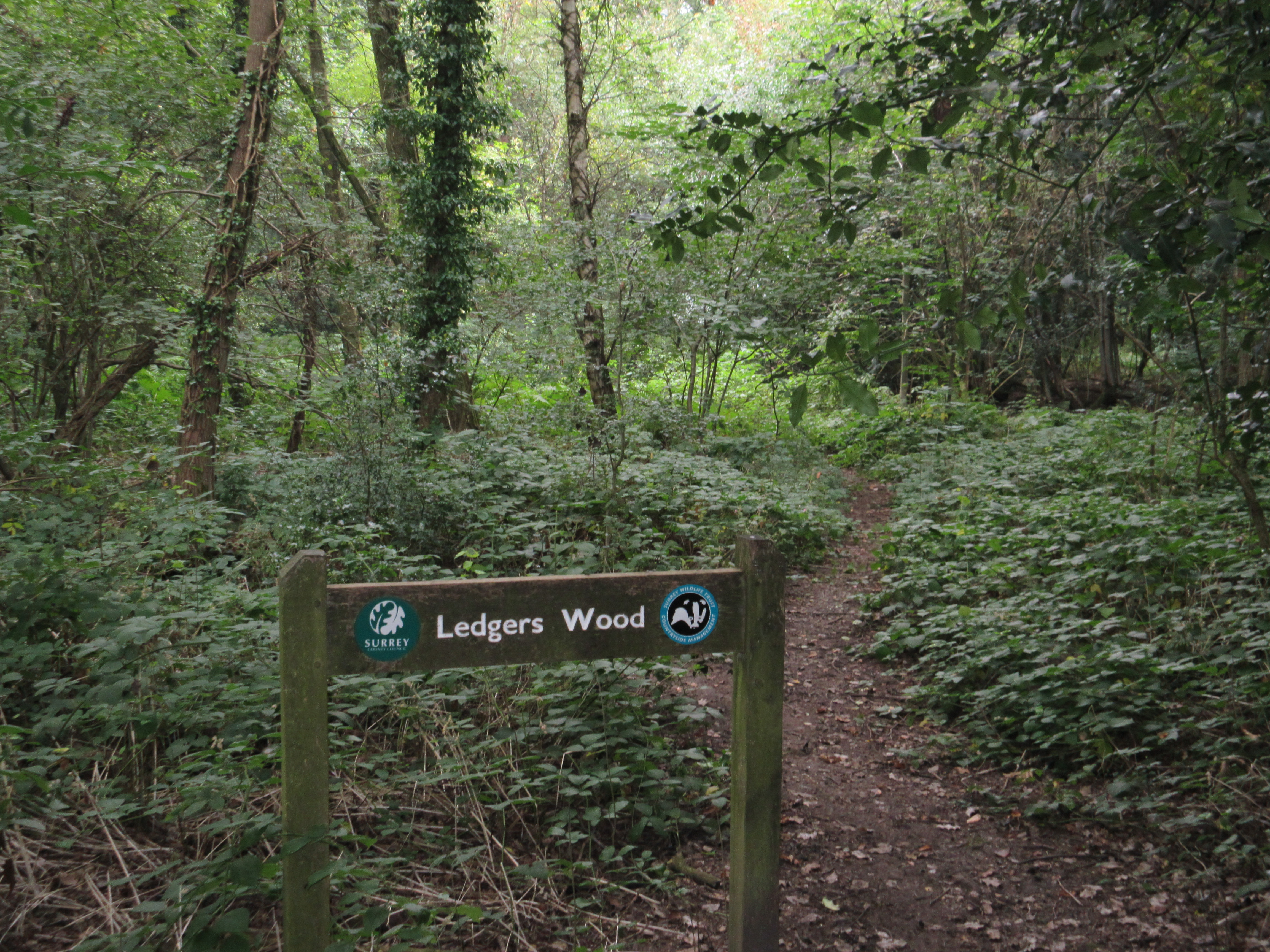
Ledgers Wood
Ledgers Wood is a 7-hectare (17-acre) nature reserve in Chelsham in Surrey. It is owned by Surrey County Council and managed by the Surrey Wildlife Trust...
Chelsham and Farleigh
Chelsham and Farleigh is a civil parish in the Tandridge District of Surrey, England. The parish is high on the North Downs and centred 14 miles (23 km...

Warlingham Park Hospital
Warlingham Park Hospital was a psychiatric hospital in Warlingham, Surrey. == History == The hospital, which was designed by George Oatley and Willie Swinton...
Chelsham
Chelsham is a village and former civil parish, now in the parish of Chelsham and Farleigh and the Tandridge district of Surrey, England. It is located...

Farleigh Rovers F.C.
Farleigh Rovers Football Club is a football club based in Warlingham, Surrey, England. The club are currently members of the Surrey South Eastern Combination...

Farleigh, Surrey
Farleigh is a village and former civil parish, now in the parish of Chelsham and Farleigh in the Tandridge district of Surrey, England. It is located in...

Nore Hill Pinnacle
Nore Hill Pinnacle is a 0.2-hectare (0.49-acre) local nature reserve east of Warlingham in Surrey, England. It is owned by the Earl Compton Estate and...
Warlingham F.C.
Warlingham Football Club is a football club based in Warlingham, Surrey, England. The club are members of the Mid-Sussex League Division Two North and...
Nearby Amenities
Located within 500m of 51.312904,-0.026397644Have you been to Bull Green?
Leave your review of Bull Green below (or comments, questions and feedback).