Bush Wood

Wood, Forest in Hertfordshire North Hertfordshire

England

Bush Wood

Barkway Freshly pollarded trees with church in the village of Barkway in the background.
Barkway Credit: Paul Dixon

Bush Wood is a picturesque woodland located in Hertfordshire, England. Spanning an area of approximately 50 acres, this idyllic forest is a haven for nature enthusiasts and a popular destination for outdoor activities. Situated near the town of Welwyn Garden City, Bush Wood offers a tranquil escape from the hustle and bustle of urban life.

The woodland is predominantly composed of deciduous trees, including oak, beech, and birch, which create a diverse and vibrant canopy. The forest floor is adorned with a rich carpet of wildflowers, ferns, and mosses, adding to the enchanting atmosphere. Several footpaths and trails meander through the wood, providing ample opportunities for walking, jogging, and cycling.

Bush Wood is home to a variety of wildlife, making it a paradise for nature lovers. Visitors may spot squirrels, rabbits, and an array of bird species such as blue tits, great tits, and woodpeckers. The forest also houses a small pond, attracting amphibians and dragonflies.

The woodland is well-maintained, with picnic areas and benches scattered throughout, allowing visitors to relax and enjoy the serene surroundings. Additionally, there are designated areas for barbecues, making it an ideal spot for family outings and social gatherings.

Bush Wood is easily accessible, with ample parking available nearby. The wood is open to the public throughout the year and is especially popular during spring and summer when the forest is adorned with vibrant blossoms and lush foliage. Whether seeking a peaceful stroll or an adventurous exploration, Bush Wood offers a delightful experience for individuals of all ages.

If you have any feedback on the listing, please let us know in the comments section below.
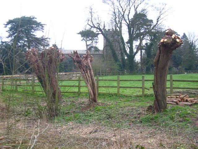
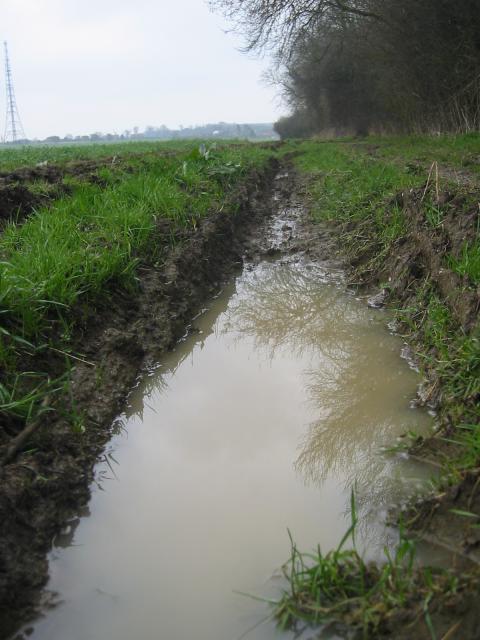
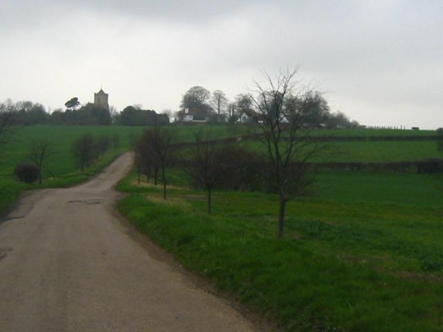
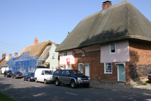
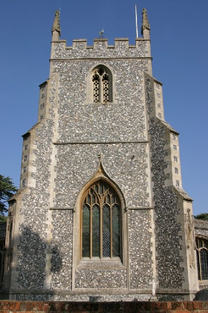
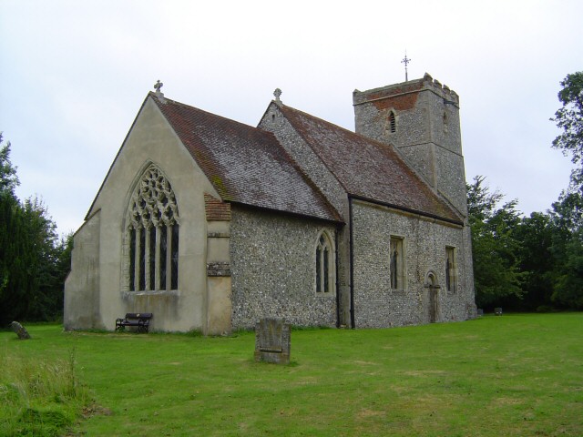
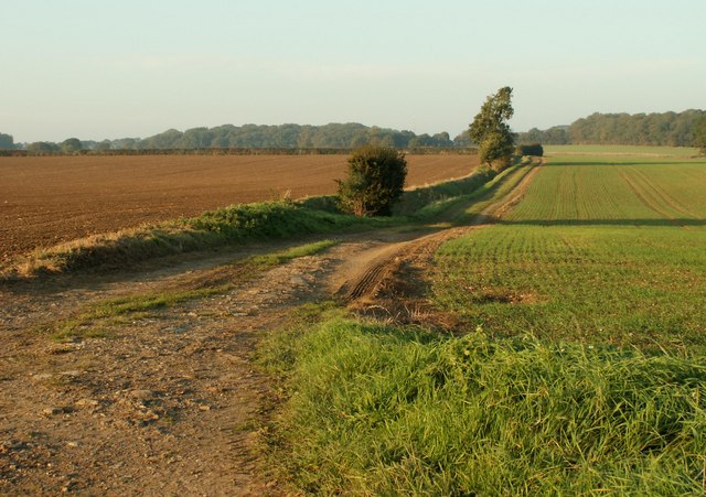
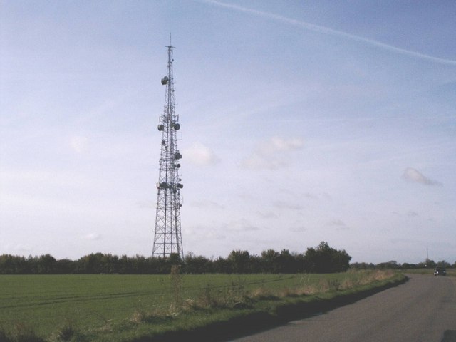
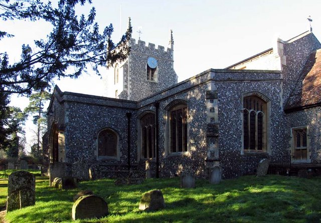
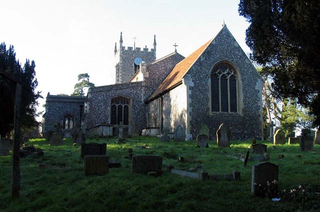
Bush Wood Images

Images are sourced within 2km of 52.003235/-0.004987701 or Grid Reference TL3735. Thanks to Geograph Open Source API. All images are credited.

Barkway Freshly pollarded trees with church in the village of Barkway in the background.
Barkway
Freshly pollarded trees with church in the village of Barkway in the background.
Rokey Wood This is the edge of Rokey Wood looking towards the village of Barkway. The mud and puddles are very typical of this area, trust me on this.
Rokey Wood
This is the edge of Rokey Wood looking towards the village of Barkway. The mud and puddles are very typical of this area, trust me on this.
Buckland, Herts Approaching Buckland from Barkway. The entire square is pretty much the green fields you see here, with this sapling-lined road cutting across it.
Buckland, Herts
Approaching Buckland from Barkway. The entire square is pretty much the green fields you see here, with this sapling-lined road cutting across it.
Thatch Old and New Renewing the thatch on a cottage in Barkway, next doors still seems ok!
Thatch Old and New
Renewing the thatch on a cottage in Barkway, next doors still seems ok!
MOD Mast The M.O.D. mast at Barkway, don't know what it does but many signs saying Keep Out.
MOD Mast
The M.O.D. mast at Barkway, don't know what it does but many signs saying Keep Out.
St. Mary Magdalene's - Barkway The Church of St. Mary Magdalene's in Barkway.
St. Mary Magdalene's - Barkway
The Church of St. Mary Magdalene's in Barkway.
St Mary's, Reed Reed is a small village just off the rural single carriageway part of the A10. The Church is a small affair set some way from the village in a very peaceful location.
St Mary's, Reed
Reed is a small village just off the rural single carriageway part of the A10. The Church is a small affair set some way from the village in a very peaceful location.
Public Footpath between Buckland and Barkway, Herts.
Communications tower near Reed Communications tower on the ridge between Barkway and reed - believed to be operated by NTL.
Communications tower near Reed
Communications tower on the ridge between Barkway and reed - believed to be operated by NTL.
St Mary Magdalene, Barkway, Hertfordshire
St Mary Magdalene, Barkway, Hertfordshire - East end
St Mary Magdalene, Barkway, Hertfordshire - Wall monuments
St Mary Magdalene, Barkway, Hertfordshire - Corbel
St Mary Magdalene, Barkway, Hertfordshire - West end
Show me another place!

Bush Wood is located at Grid Ref: TL3735 (Lat: 52.003235, Lng: -0.004987701)

Administrative County: Hertfordshire

District: North Hertfordshire

Police Authority: Hertfordshire

What 3 Words

///work.jolt.trend. Near Royston, Hertfordshire

Related Wikis

Reed, Hertfordshire

Reed is a small village and civil parish in North Hertfordshire. It is situated on a chalk ridge, approximately 3 miles (4.8 km) south of the market town...

RAF Barkway

Royal Air Force Barkway or more simply RAF Barkway was one of the smallest Royal Air Force stations in the United Kingdom. It was a Communications Station...

River Quin

The River Quin is a small watercourse which rises near Barkway in north east Hertfordshire, England. The river is fed by a number of sources including...

Barkway

Barkway is a long-established village and civil parish in the North Hertfordshire district of Hertfordshire, England, about five miles south-east of...

Nearby Amenities

Located within 500m of 52.003235,-0.004987701
Power: pole
Lat/Long: 52.0043963/-0.0118581
Power: pole
Lat/Long: 52.0044887/-0.0105733
Power: pole
Lat/Long: 52.0060375/-0.0027064
Power: pole
Lat/Long: 52.0048784/-0.0086609
Power: pole
Lat/Long: 52.0056578/-0.0045866
Power: pole
Lat/Long: 52.0064222/-0.0008101
Power: pole
Lat/Long: 52.005278/-0.006432
Bench
Backrest: no
Lat/Long: 52.0047678/-0.0018295
Bench
Backrest: no
Material: wood
Lat/Long: 52.0025555/0.0011464
Direction: -95
Information: board
Tourism: information
Lat/Long: 52.0047905/-0.0018458
The data included in this document is from www.openstreetmap.org. The data is made available under ODbL.

Have you been to Bush Wood?

Leave your review of Bush Wood below (or comments, questions and feedback).