Nightingale Wood

Wood, Forest in Hertfordshire Broxbourne

England

Nightingale Wood

Cheshunt Railway Station A class 379 Electric Multiple Unit departing from Cheshunt.
Cheshunt Railway Station Credit: David Robinson

Nightingale Wood is a picturesque woodland located in Hertfordshire, England. Covering an area of approximately 100 acres, it is a popular destination for nature lovers and outdoor enthusiasts. The wood is characterized by its dense canopy of ancient trees, creating a serene and tranquil atmosphere.

The wood is home to a diverse range of plant and animal species, making it a haven for wildlife. Visitors can expect to see a variety of bird species, including nightingales, which are known for their enchanting song that fills the air during the spring and summer months. Other notable bird species include woodpeckers, owls, and various songbirds.

The woodland floor is adorned with a rich carpet of wildflowers, adding bursts of color to the greenery. Bluebells, primroses, and wood anemones are just a few of the species that bloom during the springtime, creating a stunning display.

There are several well-maintained trails that wind through the wood, allowing visitors to explore its beauty at their own pace. These paths are suitable for both leisurely strolls and more adventurous hikes. Along the way, visitors may come across charming wooden benches, providing the perfect spot to sit and soak in the peaceful surroundings.

Nightingale Wood is a cherished natural gem in Hertfordshire, offering a sanctuary for both wildlife and humans alike. Its beauty and tranquility make it an ideal destination for nature enthusiasts seeking solace in the great outdoors.

If you have any feedback on the listing, please let us know in the comments section below.

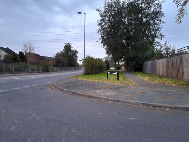
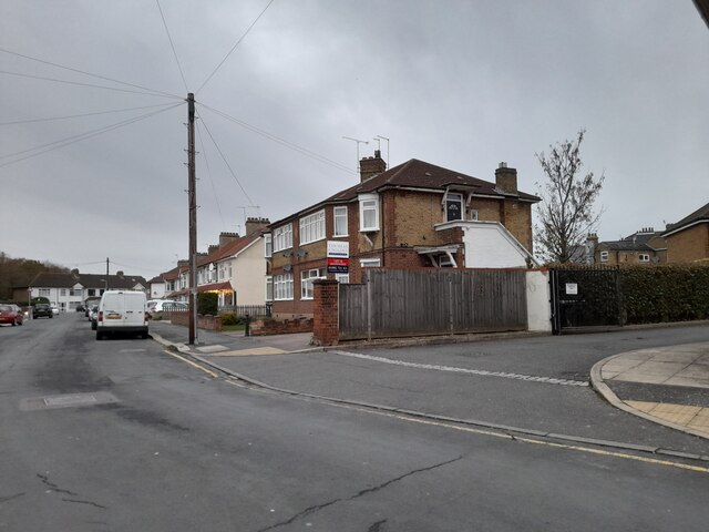
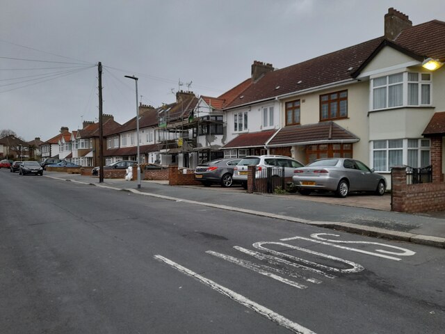
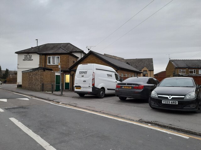
Nightingale Wood Images

Images are sourced within 2km of 51.714141/-0.019111336 or Grid Reference TL3603. Thanks to Geograph Open Source API. All images are credited.

Cheshunt Railway Station A class 379 Electric Multiple Unit departing from Cheshunt.
Cheshunt Railway Station
A class 379 Electric Multiple Unit departing from Cheshunt.
Shops on High Street, Cheshunt
Mill Lane at the junction of High Street, Cheshunt
Brookfield Lane West, Turnford The road is split in two by the A10
Brookfield Lane West, Turnford
The road is split in two by the A10
Field by Brookfield Lane West, Turnford
Brookfield Lane West, Turnford
Houses on Brookfield Lane West, Turnford
Southbrook Drive, Turnford
Brookfield Lane West, Turnford
Houses on Perrysfield Road, Turnford The birch tree has suffered a recent accident, it was perfect a few years earlier.
Houses on Perrysfield Road, Turnford
The birch tree has suffered a recent accident, it was perfect a few years earlier.
Perrysfield Road, Turnford
Cheshunt Wash at the corner of Perrysfield Road
High Road, Turnford
High Road, Turnford
Great Cambridge Road, Turnford I didn't realise the Great Cambridge Road split in Cheshunt, as this is the name of it from Tottenham onwards, but no longer follows the newer section of the A10 but remained with the original part.
Great Cambridge Road, Turnford
I didn't realise the Great Cambridge Road split in Cheshunt, as this is the name of it from Tottenham onwards, but no longer follows the newer section of the A10 but remained with the original part.
Roundabout on High Street, Cheshunt
Clarendon Road, Cheshunt
The Old English Gentleman pub, Cheshunt
Show me another place!

Nightingale Wood is located at Grid Ref: TL3603 (Lat: 51.714141, Lng: -0.019111336)

Administrative County: Hertfordshire

District: Broxbourne

Police Authority: Hertfordshire

What 3 Words

///print.slide.edge. Near Cheshunt, Hertfordshire

Nearby Locations

Nightingale Wood

Related Wikis

Haileybury Turnford

Haileybury Turnford (formerly Turnford School) is a coeducational secondary school and sixth form located in Turnford, Hertfordshire, England. Previously...

Cheshunt Lock

Cheshunt Lock (No 9) is a lock on the River Lee Navigation at Cheshunt, Hertfordshire. == Geography == The lock is located in the River Lee Country Park...

Turnford and Cheshunt Pits

The Turnford and Cheshunt Pits is a biological Site of Special Scientific Interest near Cheshunt in Hertfordshire and Essex and covers a total of 428.17...

Wormley, Hertfordshire

Wormley is a village and former civil parish, lying between Hoddesdon and Cheshunt in the Broxbourne district, in the county of Hertfordshire, England...

Nearby Amenities

Located within 500m of 51.714141,-0.019111336
Seamark Type: gate
Waterway: lock_gate
Lat/Long: 51.7099318/-0.0168892
Created By: YahooApplet 1.1
Lat/Long: 51.7148117/-0.0212764
Created By: YahooApplet 1.1
Lat/Long: 51.7149047/-0.0224244
Created By: YahooApplet 1.1
Lat/Long: 51.7150443/-0.0230681
Created By: YahooApplet 1.1
Lat/Long: 51.7151108/-0.0235187
Created By: YahooApplet 1.1
Lat/Long: 51.7150975/-0.0238942
Fixme: check is this really private?
Lat/Long: 51.7153834/-0.0215658
Created By: YahooApplet 1.1
Lat/Long: 51.7182236/-0.0218924
Created By: YahooApplet 1.1
Lat/Long: 51.7177885/-0.0219671
Created By: YahooApplet 1.1
Lat/Long: 51.7174105/-0.0220207
Created By: YahooApplet 1.1
Lat/Long: 51.7171781/-0.0221005
Created By: YahooApplet 1.1
Lat/Long: 51.7169383/-0.0223367
Created By: YahooApplet 1.1
Lat/Long: 51.7167687/-0.0226962
Created By: YahooApplet 1.1
Lat/Long: 51.7166721/-0.0231481
Created By: YahooApplet 1.1
Lat/Long: 51.7166689/-0.0233895
Created By: YahooApplet 1.1
Lat/Long: 51.7166888/-0.02363
Created By: YahooApplet 1.1
Lat/Long: 51.7168016/-0.0243166
Created By: YahooApplet 1.1
Lat/Long: 51.7169047/-0.0247985
Created By: YahooApplet 1.1
Lat/Long: 51.7169811/-0.024274
Created By: YahooApplet 1.1
Lat/Long: 51.7170573/-0.0242047
Created By: YahooApplet 1.1
Lat/Long: 51.7173934/-0.0236034
Created By: YahooApplet 1.1
Lat/Long: 51.717453/-0.0235551
Created By: YahooApplet 1.1
Lat/Long: 51.7170048/-0.0229226
Created By: YahooApplet 1.1
Lat/Long: 51.7178221/-0.0223044
Created By: YahooApplet 1.1
Lat/Long: 51.7177757/-0.0225087
Created By: YahooApplet 1.1
Lat/Long: 51.7176491/-0.0225678
Created By: YahooApplet 1.1
Lat/Long: 51.7171122/-0.0226434
Created By: YahooApplet 1.1
Lat/Long: 51.7163929/-0.0237051
Created By: YahooApplet 1.1
Lat/Long: 51.7161802/-0.0237159
Created By: YahooApplet 1.1
Lat/Long: 51.7159507/-0.023721
Created By: YahooApplet 1.1
Lat/Long: 51.7157215/-0.0238178
Created By: YahooApplet 1.1
Lat/Long: 51.7160108/-0.0241396
Created By: YahooApplet 1.1
Lat/Long: 51.7160207/-0.0244774
Created By: YahooApplet 1.1
Lat/Long: 51.7160771/-0.024778
Created By: YahooApplet 1.1
Lat/Long: 51.7161837/-0.0249875
Created By: YahooApplet 1.1
Lat/Long: 51.7163764/-0.0232825
Created By: YahooApplet 1.1
Lat/Long: 51.7162932/-0.0228256
Created By: YahooApplet 1.1
Lat/Long: 51.7162464/-0.0225623
Created By: YahooApplet 1.1
Lat/Long: 51.7161899/-0.0222885
Created By: YahooApplet 1.1
Lat/Long: 51.7164291/-0.0225466
Created By: YahooApplet 1.1
Lat/Long: 51.7165759/-0.022622
Created By: YahooApplet 1.1
Lat/Long: 51.7161067/-0.0228573
Created By: YahooApplet 1.1
Lat/Long: 51.7160337/-0.0228091
Created By: YahooApplet 1.1
Lat/Long: 51.7159475/-0.0227719
Created By: YahooApplet 1.1
Lat/Long: 51.7156715/-0.0228739
Created By: YahooApplet 1.1
Lat/Long: 51.7151866/-0.0245261
Created By: YahooApplet 1.1
Lat/Long: 51.715273/-0.0252557
Power: tower
Lat/Long: 51.7133099/-0.0124112
Power: tower
Lat/Long: 51.7165214/-0.0243589
Power: tower
Lat/Long: 51.7159205/-0.0205051
Power: tower
Lat/Long: 51.7152451/-0.0162822
Power: tower
Lat/Long: 51.714934/-0.0125957
Seamark Type: gate
Waterway: lock_gate
Lat/Long: 51.7101993/-0.0168278
Fixme: check is this really private?
Lat/Long: 51.7146738/-0.0198048
Barrier: bollard
Lat/Long: 51.7155891/-0.0244105
Barrier: bollard
Lat/Long: 51.715625/-0.0246886
Power: tower
Lat/Long: 51.7151309/-0.0128692
Fixme: does this go somewhere?
Lat/Long: 51.7117179/-0.0167939
Bench
Lat/Long: 51.710455/-0.0162006
Bench
Lat/Long: 51.7121231/-0.013395
Bench
Lat/Long: 51.7130275/-0.0146355
Bench
Lat/Long: 51.7160321/-0.0125326
Bench
Lat/Long: 51.7117674/-0.0141191
Power: transformer
Voltage: 400000;275000
Lat/Long: 51.7149149/-0.0119689
Waste Basket
Source: gps+mapnoter
Waste: dog
Lat/Long: 51.7151593/-0.0232387
Bench
Source: gps+mapnoter
Lat/Long: 51.7154767/-0.018003
Bench
Source: gps+mapnoter
Lat/Long: 51.7102584/-0.0169677
Bench
Source: gps+mapnoter
Lat/Long: 51.7124156/-0.0164205
Waste Basket
Source: gps+mapnoter
Lat/Long: 51.7099259/-0.0170673
Bench
Source: gps+mapnoter
Lat/Long: 51.7136221/-0.020889
Leisure: bird_hide
Source: gps+mapnoter
Lat/Long: 51.7139811/-0.0181586
Bench
Source: gps+mapnoter
Lat/Long: 51.7103946/-0.0183356
Bench
Source: gps+mapnoter
Lat/Long: 51.7153438/-0.0216508
Bench
Tourism: artwork
Lat/Long: 51.7153146/-0.0138276
Bench
Lat/Long: 51.7105386/-0.0217161
Otters in the Lee Valley
Information: board
Tourism: information
Lat/Long: 51.7119215/-0.0137239
Wildlife Benches
Information: board
Tourism: information
Lat/Long: 51.7151222/-0.0139193
Bench
Tourism: artwork
Lat/Long: 51.7151975/-0.0139278
Board Type: nature
Information: board
Tourism: information
Lat/Long: 51.7101946/-0.0162829
Power: switch
Lat/Long: 51.7149898/-0.0120002
The data included in this document is from www.openstreetmap.org. The data is made available under ODbL.

Have you been to Nightingale Wood?

Leave your review of Nightingale Wood below (or comments, questions and feedback).