Bury Plantation

Wood, Forest in Hertfordshire North Hertfordshire

England

Bury Plantation

Wicker Hall Reservoir, Royston Fine views across the town and on into Cambridgeshire from up here.
Wicker Hall Reservoir, Royston Credit: John Partridge

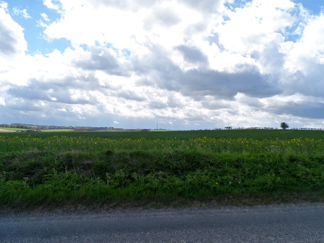
Bury Plantation is a woodland area located in Hertfordshire, England. Situated in the southeastern part of the county, it covers an extensive area of approximately [insert size here] hectares. The plantation is part of a larger forested region known as Bury Wood, which encompasses various woodlands, including the neighboring Schottish Wood.

Bury Plantation is characterized by a diverse range of tree species, with oak, beech, and birch being the most prevalent. The woodland is known for its well-established trees, some of which are several centuries old, lending a sense of history and grandeur to the area. The dense canopy of leaves provides ample shade and creates a tranquil and peaceful atmosphere within the woodland.

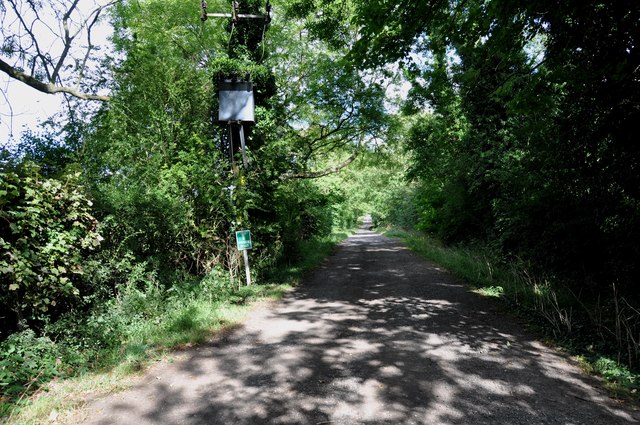
The plantation is a popular destination for nature enthusiasts, walkers, and cyclists, offering a network of well-maintained trails that meander through the trees. These paths provide an opportunity to explore the plantation's natural beauty while enjoying the fresh air and peaceful surroundings. The woodlands are also home to a variety of wildlife, including deer, squirrels, rabbits, and numerous bird species, making it a haven for wildlife enthusiasts and birdwatchers.

Managed by the local authorities, Bury Plantation ensures the preservation and conservation of the woodland ecosystem. This includes regular maintenance, such as clearing fallen trees and managing invasive species, to ensure the health and longevity of the woodland.

Overall, Bury Plantation in Hertfordshire offers a picturesque and serene natural environment, providing visitors with an opportunity to immerse themselves in the beauty of nature and appreciate the rich biodiversity of the area.

If you have any feedback on the listing, please let us know in the comments section below.

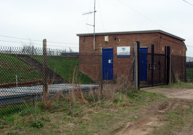
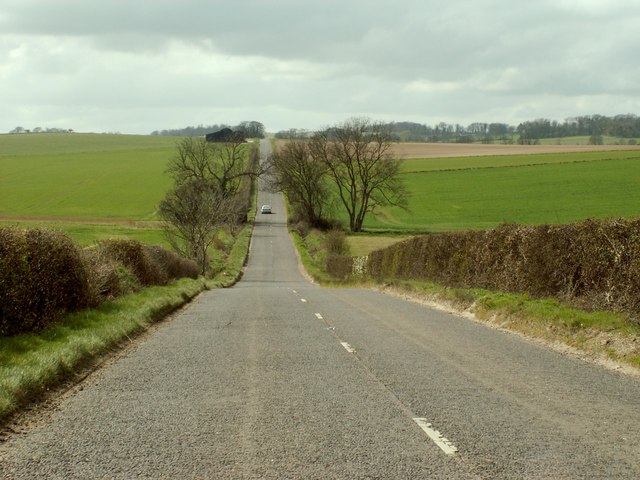
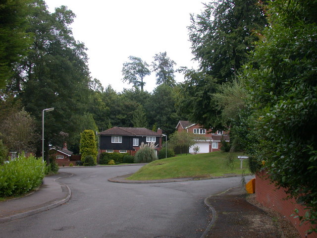
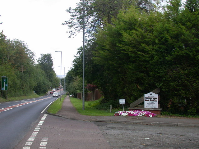
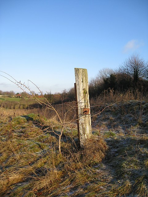
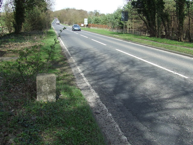
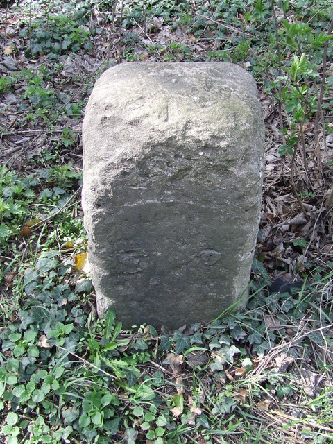
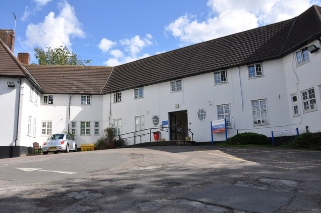
Bury Plantation Images

Images are sourced within 2km of 52.046189/-0.008106366 or Grid Reference TL3640. Thanks to Geograph Open Source API. All images are credited.

Wicker Hall Reservoir, Royston Fine views across the town and on into Cambridgeshire from up here.
Wicker Hall Reservoir, Royston
Fine views across the town and on into Cambridgeshire from up here.
The B.1039 between Barley and Royston
The entrance to Heath Farm
Part of Newsells Park Stud The small building, just to the right of the larger one, is Valley Cottage.
Part of Newsells Park Stud
The small building, just to the right of the larger one, is Valley Cottage.
Track that leads to Flint Hall Farm
Shrubbery Grove, Royston A turning off the A10 on the southern edge of town.
Shrubbery Grove, Royston
A turning off the A10 on the southern edge of town.
Welcome to Royston The approach from the south of the A10. The sign notes the town's twinning with Grossalmerode and La loupe, and its victory in the "Anglia in Bloom" competition in 1994 and 1997.
Welcome to Royston
The approach from the south of the A10. The sign notes the town's twinning with Grossalmerode and La loupe, and its victory in the "Anglia in Bloom" competition in 1994 and 1997.
Avenue leading south from The Grange
Old Post on Therfield Heath An old post standing forlornly on the Heath.
Old Post on Therfield Heath
An old post standing forlornly on the Heath.
Old Milepost Old milepost on the A.10 near to Royston, Hertfordshire for close up view see <a title="https://www.geograph.org.uk/photo/1790073" href="https://www.geograph.org.uk/photo/1790073">Link</a> and for more info on the stone see <span class="nowrap"><a title="http://milestones.megalithia.com/sites/tl359388.htm" rel="nofollow ugc noopener" href="http://milestones.megalithia.com/sites/tl359388.htm">Link</a><img style="margin-left:2px;" alt="External link" title="External link - shift click to open in new window" src="https://s1.geograph.org.uk/img/external.png" width="10" height="10"/></span> do have a look at their home page.
Old Milepost
Old milepost on the A.10 near to Royston, Hertfordshire for close up view see Link and for more info on the stone see LinkExternal link do have a look at their home page.
Old Milepost Old milepost on the A.10 near to Royston, Hertfordshire for overall view see <a title="https://www.geograph.org.uk/photo/1790069" href="https://www.geograph.org.uk/photo/1790069">Link</a> and for more info on the stone with its now lost plaque see <span class="nowrap"><a title="http://milestones.megalithia.com/sites/tl359388.htm" rel="nofollow ugc noopener" href="http://milestones.megalithia.com/sites/tl359388.htm">Link</a><img style="margin-left:2px;" alt="External link" title="External link - shift click to open in new window" src="https://s1.geograph.org.uk/img/external.png" width="10" height="10"/></span> do have a look at their home page.
Old Milepost
Old milepost on the A.10 near to Royston, Hertfordshire for overall view see Link and for more info on the stone with its now lost plaque see LinkExternal link do have a look at their home page.
Private Driveway to Flint Hall Farm
The entrance to Royston Cottage Hospital This super little Hospital has been serving Royston and surrounding areas for a great many years, it is amazing that it still up and running.
The entrance to Royston Cottage Hospital
This super little Hospital has been serving Royston and surrounding areas for a great many years, it is amazing that it still up and running.
Farm land adjacent to B1039 There is very little oil seed rape around this year apparently because of the unusually cold weather in March. The crop here is not as advanced as it usually is at this time of year. The transmitter mast near to Barkway (2.5 miles away) is visible in the distance.
Farm land adjacent to B1039
There is very little oil seed rape around this year apparently because of the unusually cold weather in March. The crop here is not as advanced as it usually is at this time of year. The transmitter mast near to Barkway (2.5 miles away) is visible in the distance.
Isolated barn and B1039
Bridleway to Royston
Therfield Heath South of Royston.
Therfield Heath
South of Royston.
Not the footpath The signs point you this way, but the sign on the gate says these are just permissive paths at the landowners discretion. The actual footpath must therefore still be valid, but is blocked off by stud farm fences.
Not the footpath
The signs point you this way, but the sign on the gate says these are just permissive paths at the landowners discretion. The actual footpath must therefore still be valid, but is blocked off by stud farm fences.
Show me another place!

Bury Plantation is located at Grid Ref: TL3640 (Lat: 52.046189, Lng: -0.008106366)

Administrative County: Hertfordshire

District: North Hertfordshire

Police Authority: Hertfordshire

What 3 Words

///sweeper.conjured.licks. Near Royston, Hertfordshire

Related Wikis

Icknield Walk First School

Icknield Walk First School is a larger than average first school located in Royston, Hertfordshire, England. It has approximately 335 registered students...

Royston, Hertfordshire

Royston is a town and civil parish in the District of North Hertfordshire and county of Hertfordshire in England. It is situated on the Greenwich Meridian...
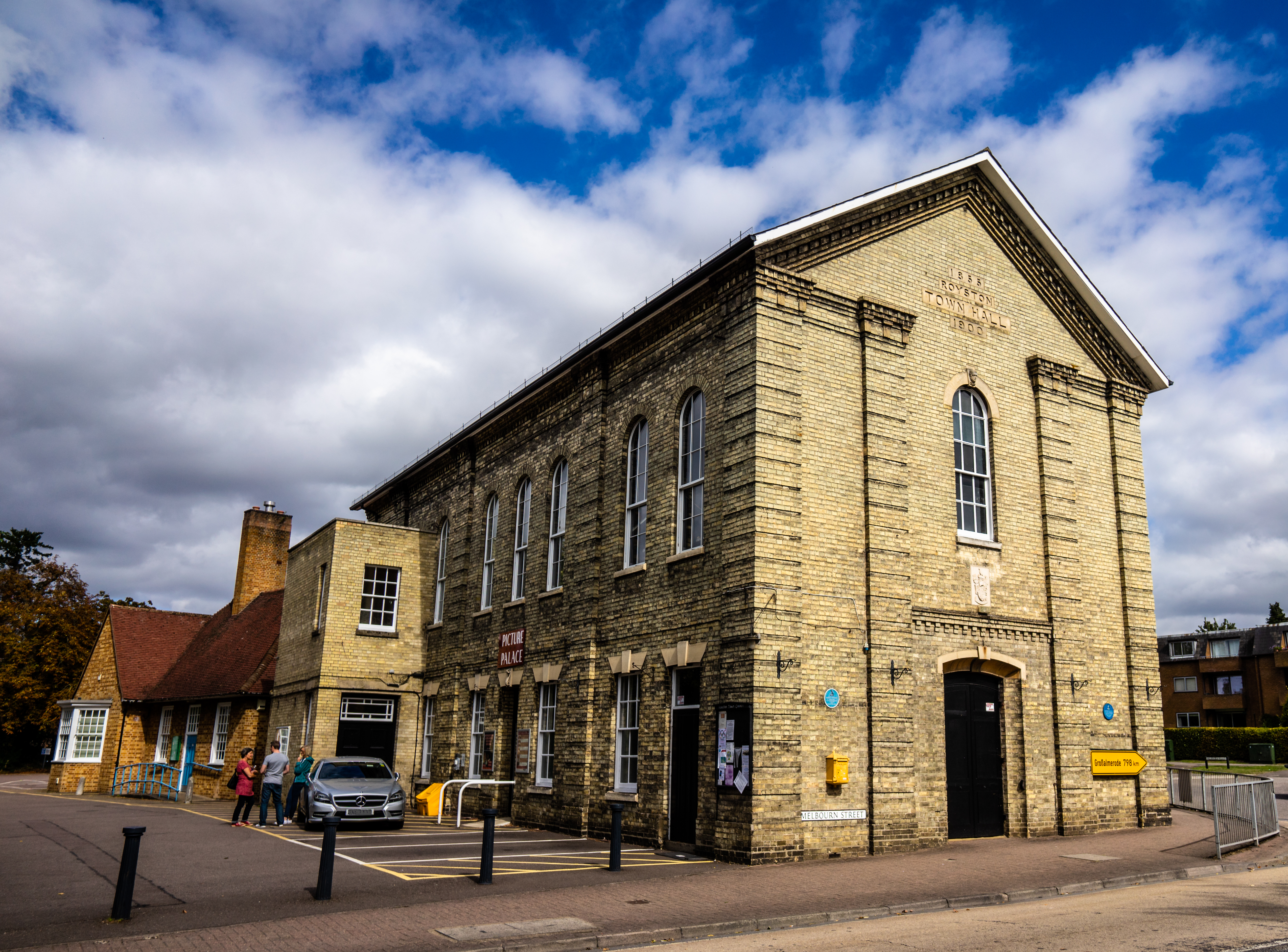
Royston Town Hall

Royston Town Hall is a municipal building in Melbourn Street, Royston, Hertfordshire, England. The structure, which continues to be used as the meeting...

King James Academy Royston

King James Academy Royston (KJAR) is a through school located in Royston, Hertfordshire, England. It is an academy, and opened in September 2019, as a...

Greneway Middle School, Royston

The Greneway Middle School was a middle school in Royston, Hertfordshire, England, which has been combined with Roysia Middle School and Meridian School...

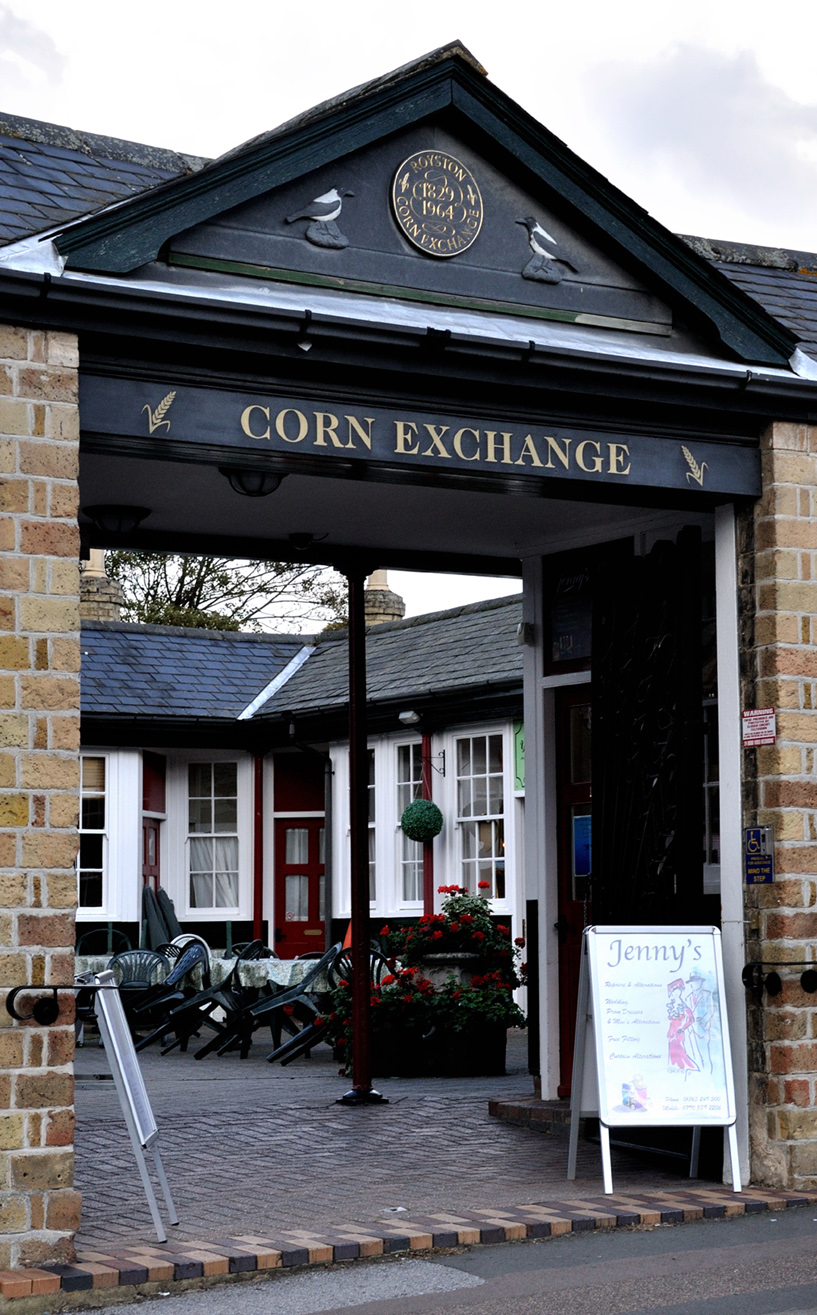
Corn Exchange, Royston

The Corn Exchange is a commercial building on Market Hill in Royston, Hertfordshire, England. The structure, which is now used as a series of retail units...

Royston Town F.C.

Royston Town Football Club (also known as the Crows) are an English football club based in Royston, Hertfordshire, England, and have played their home...

Meridian School, Royston

The Meridian School was a secondary school and sixth form located in Royston, Hertfordshire, England. It was an academy, and had approximately 474 registered...

Nearby Amenities

Located within 500m of 52.046189,-0.008106366
Leisure: playground
Lat/Long: 52.0497909/-0.0056077
Sport: skateboard
Lat/Long: 52.0493911/-0.0054391
Leisure: playground
Lat/Long: 52.0453384/-0.0143254
Sport: soccer
Lat/Long: 52.0448179/-0.0138811
Bus Stop
Shaftesbury Way
Bus: yes
Naptan AtcoCode: 210021104030
Naptan Bearing: NW
Naptan CommonName: Shaftesbury Way
Naptan Indicator: adj
Naptan Landmark: Unknown
Naptan NaptanCode: hrtgjptp
Naptan ShortCommonName: NA
Naptan Street: Barkway Road
Naptan Verified: no
Public Transport: platform
Source: naptan_import
Lat/Long: 52.0429084/-0.0131026
Bus Stop
Shaftesbury Way
Bus: yes
Naptan AtcoCode: 210021104340
Naptan Bearing: SE
Naptan BusStopType: CUS
Naptan CommonName: Shaftesbury Way
Naptan Indicator: opp
Naptan Landmark: Unknown
Naptan NaptanCode: hrtgjpwp
Naptan ShortCommonName: NA
Naptan Street: Barkway Road
Naptan Verified: no
Public Transport: platform
Source: naptan_import
Lat/Long: 52.0429618/-0.0130512
Bus Stop
Studlands Rise
Bus: yes
Naptan AtcoCode: 210021120710
Naptan Bearing: SE
Naptan CommonName: Studlands Rise
Naptan Crossing: Highlands
Naptan Indicator: S-bound
Naptan Landmark: Highlands
Naptan NaptanCode: hrtgatap
Naptan ShortCommonName: NA
Naptan Street: Studlands Rise
Naptan Verified: no
Public Transport: platform
Source: naptan_import
Lat/Long: 52.0457369/-0.0131038
Bus Stop
Campion Way
Bus: yes
Naptan AtcoCode: 210021120712
Naptan Bearing: E
Naptan BusStopType: CUS
Naptan CommonName: Campion Way
Naptan Crossing: Mallow Walk
Naptan Indicator: E-bound
Naptan Landmark: Mallow Walk
Naptan NaptanCode: hrtgatat
Naptan ShortCommonName: NA
Naptan Street: Campion Way
Naptan Verified: no
Public Transport: platform
Source: naptan_import
Lat/Long: 52.0448502/-0.0106494
Bus Stop
Betony Vale
Bus: yes
Naptan AtcoCode: 210021120715
Naptan Bearing: NW
Naptan BusStopType: CUS
Naptan CommonName: Lingfield Road
Naptan Crossing: Betony Vale
Naptan Indicator: opp
Naptan Landmark: Betony Vale
Naptan NaptanCode: hrtgataw
Naptan ShortCommonName: NA
Naptan Street: Valley Rise
Naptan Verified: no
Operator: Richmonds coaches
Public Transport: platform
Source: naptan_import
Lat/Long: 52.0459268/-0.0110391
Bus Stop
Clydesdale Road
Bus: yes
Local Ref: NR
Naptan AtcoCode: 210021120717
Naptan Bearing: NE
Naptan BusStopType: CUS
Naptan CommonName: Clydesdale Road
Naptan Crossing: Suffolk Road
Naptan Indicator: nr
Naptan Landmark: Suffolk Road
Naptan NaptanCode: hrtjadma
Naptan ShortCommonName: NA
Naptan Street: Valley Rise
Naptan Verified: no
Public Transport: platform
Source: naptan_import
Lat/Long: 52.0474098/-0.0115274
Bus Stop
Newmarket Road
Bus: yes
Naptan AtcoCode: 210021120720
Naptan Bearing: N
Naptan CommonName: Newmarket Road
Naptan Indicator: N-bound
Naptan Landmark: Unknown
Naptan NaptanCode: hrtgatda
Naptan ShortCommonName: NA
Naptan Street: Icknield Walk
Naptan Verified: no
Public Transport: platform
Source: naptan_import
Lat/Long: 52.0490924/-0.0110589
Bus Stop
Dacre Green
Naptan AtcoCode: 210021120723
Naptan Bearing: E
Naptan CommonName: Dacre Green
Naptan Indicator: opp
Naptan Landmark: Unknown
Naptan NaptanCode: hrtjadmd
Naptan ShortCommonName: NA
Naptan Street: Icknield Walk
Naptan Verified: no
Source: naptan_import
Lat/Long: 52.050281/-0.0100873
Power: pole
Lat/Long: 52.0441096/-0.0074738
Power: pole
Lat/Long: 52.042946/-0.0100409
Power: pole
Lat/Long: 52.0435284/-0.0087708
Design: h-frame
Power: tower
Source: bing
Tower Type: anchor
Lat/Long: 52.0463625/-0.0079152
Power: pole
Lat/Long: 52.0453222/-0.0077114
Power: pole
Lat/Long: 52.0492971/-0.0036077
Power: pole
Lat/Long: 52.04789/-0.0056489
Power: pole
Lat/Long: 52.0469679/-0.0070114
Power: pole
Lat/Long: 52.0501732/-0.005622
Source: survey
Lat/Long: 52.0489447/-0.0053276
Parking
Parking: layby
Lat/Long: 52.0489244/-0.009597
Post Box
Collection Times: Mo-Fr 09:00; Sa 07:00
Note: Box number covered by collection times sticker
Post Box Type: pillar
Ref: SG8 295
Royal Cypher: EIIR
Royal Cypher Wikidata: Q33102113
Lat/Long: 52.0482795/-0.0113618
Power: pole
Source: bing
Lat/Long: 52.0427673/-0.0055704
Power: pole
Source: bing
Lat/Long: 52.0436589/-0.0061686
Bus Stop
Wheatfield Cresent
Bus: yes
Operator: Richmonds Coaches
Public Transport: platform
Lat/Long: 52.0487663/-0.0129844
Crossing
Crossing: marked
Crossing Island: no
Tactile Paving: yes
Lat/Long: 52.0486779/-0.0122767
The data included in this document is from www.openstreetmap.org. The data is made available under ODbL.

Have you been to Bury Plantation?

Leave your review of Bury Plantation below (or comments, questions and feedback).