Cowards Wood
Wood, Forest in Hertfordshire East Hertfordshire
England
Cowards Wood

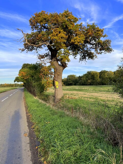
Cowards Wood, located in Hertfordshire, England, is a captivating and tranquil forest that spans over a vast area. Nestled within the picturesque countryside, this wood offers visitors a serene escape from the hustle and bustle of everyday life.
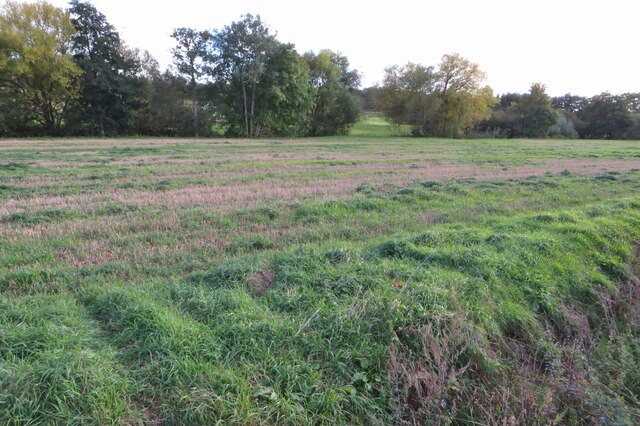
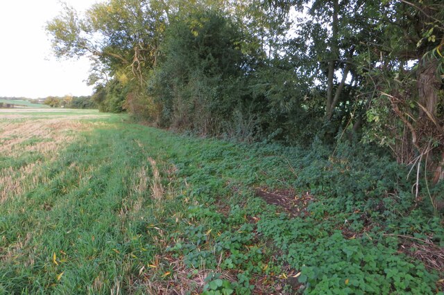
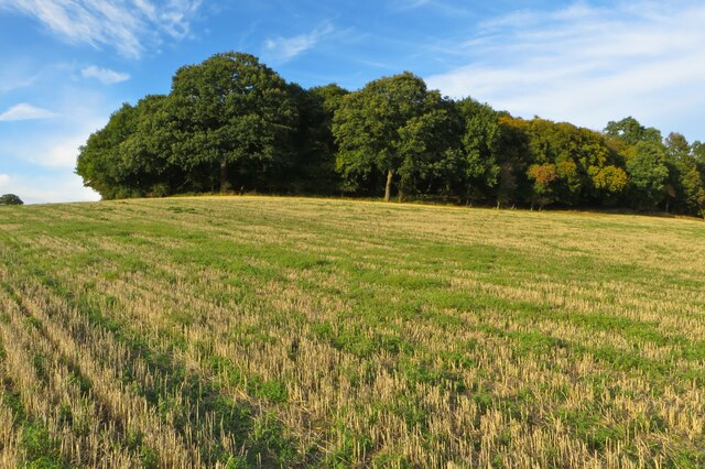
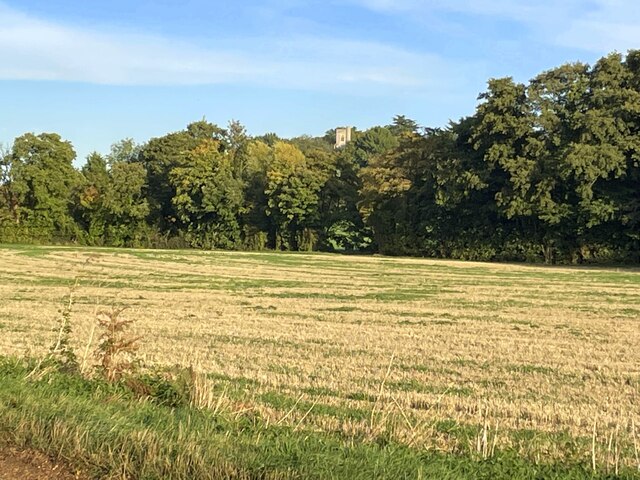
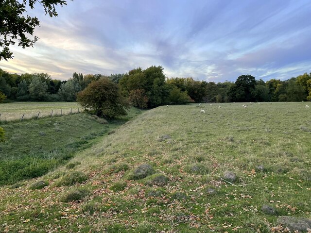
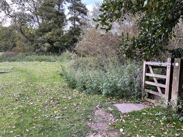
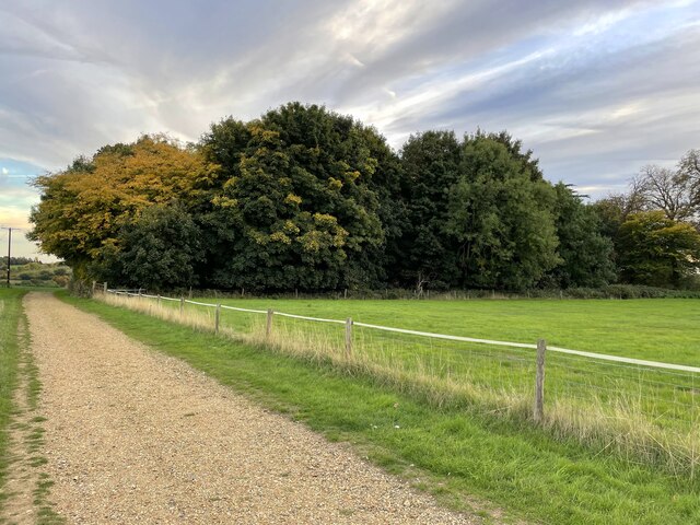
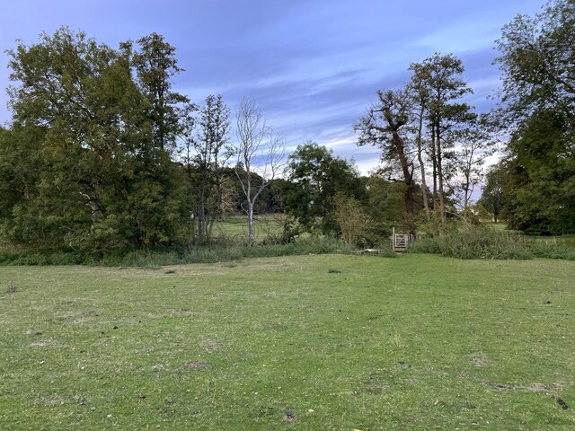
Covering approximately 200 acres, Cowards Wood boasts a diverse ecosystem, comprising a mix of deciduous and coniferous trees. The woodland is predominantly made up of oak, beech, and birch trees, which create a stunning canopy that provides shade during the summer months. The forest floor is adorned with an array of wildflowers and ferns, adding a touch of color and beauty to the landscape.
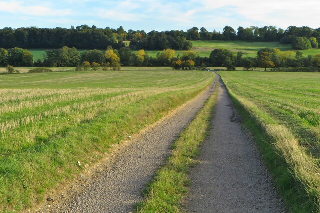
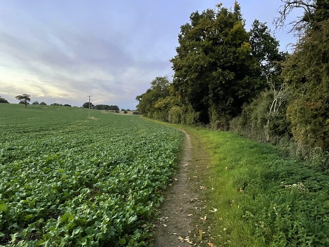
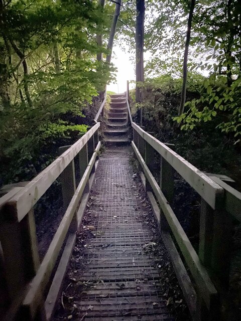
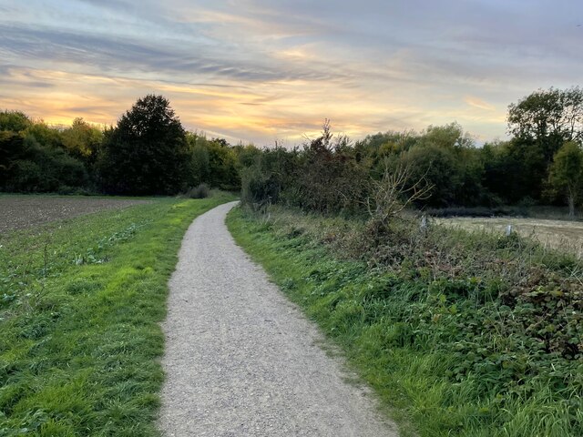
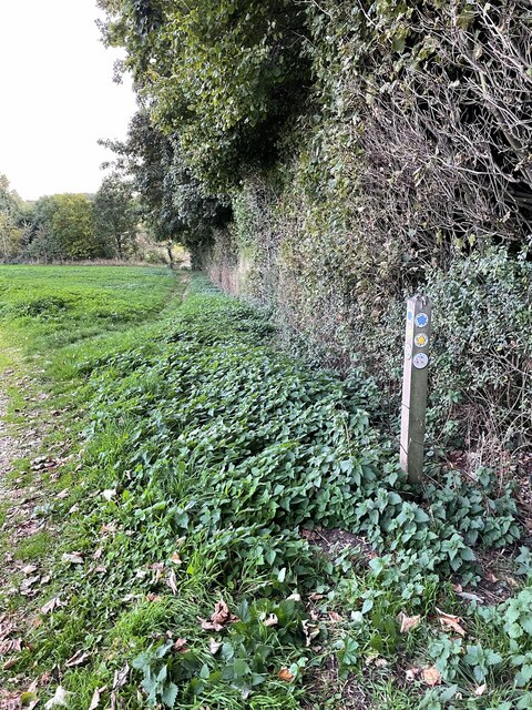
The wood is crisscrossed by a network of well-maintained footpaths, making it easily accessible for walkers, hikers, and nature enthusiasts. These trails wind their way through the woodland, offering visitors the opportunity to explore its enchanting nooks and crannies. Along the way, one might stumble upon a babbling brook, adding to the idyllic ambiance of the surroundings.
The forest is also home to a plethora of wildlife, with various bird species, such as woodpeckers and owls, calling Cowards Wood their habitat. Additionally, deer and squirrels can often be spotted darting through the trees, adding to the sense of enchantment and natural beauty.
With its peaceful atmosphere and abundant natural beauty, Cowards Wood is a true gem in Hertfordshire. Whether it's for a leisurely walk, birdwatching, or simply enjoying the tranquility of nature, this forest provides a welcome respite for locals and visitors alike.
If you have any feedback on the listing, please let us know in the comments section below.
Cowards Wood Images
Images are sourced within 2km of 51.831148/-0.020642756 or Grid Reference TL3616. Thanks to Geograph Open Source API. All images are credited.
Cowards Wood is located at Grid Ref: TL3616 (Lat: 51.831148, Lng: -0.020642756)
Administrative County: Hertfordshire
District: East Hertfordshire
Police Authority: Hertfordshire
What 3 Words
///minute.crowd.decks. Near Ware, Hertfordshire
Nearby Locations
Related Wikis

Thundridge
Thundridge is a village and civil parish in the East Hertfordshire district, in the county of Hertfordshire, England. It is about two miles away from...
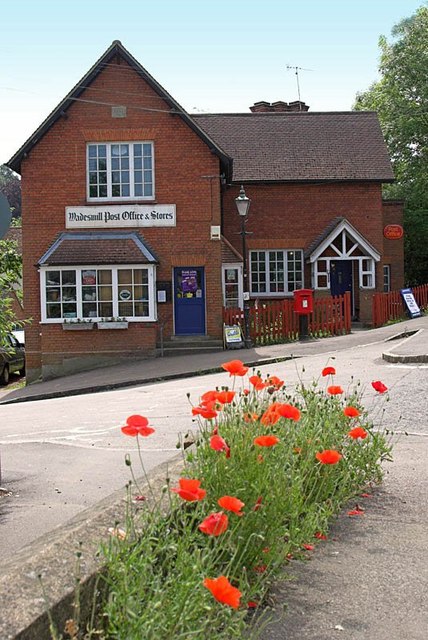
Wadesmill
Wadesmill is a hamlet in Hertfordshire, England, located on the north side of the River Rib, with an estimated population of 264. At the 2011 Census the...

Ware F.C.
Ware F.C. is a football club established in 1892 and based at Wodson Park in Ware, Hertfordshire, England, currently members of the Southern League Division...

Fanhams Hall
Fanhams Hall is an 18th-century Queen Anne House-style country house in Wareside, Hertfordshire in the south east of England. It is a Grade II* listed...
Wodson Park F.C.
Wodson Park Football Club is a football club from Ware, Hertfordshire. The club is affiliated to the Hertfordshire County Football Association. The men...

Youngsbury
Youngsbury House is a Grade II listed house near Wadesmill, Hertfordshire, England. The stable block is Grade II* listed.The house was built in about 1745...
English Championship (golf)
The English Championship was a professional golf tournament held 6–9 August 2020 at Hanbury Manor Golf Club in Thundridge, near Ware, Hertfordshire, England...

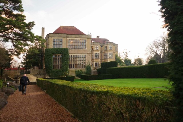
Hanbury Manor
Hanbury Manor, centred on the multi-wing Hanbury Manor Hotel, is a converted late-Victorian country house and adjoining golf course in Thundridge, north...
Nearby Amenities
Located within 500m of 51.831148,-0.020642756Have you been to Cowards Wood?
Leave your review of Cowards Wood below (or comments, questions and feedback).