Crabtree Plantation
Wood, Forest in Hertfordshire Broxbourne
England
Crabtree Plantation
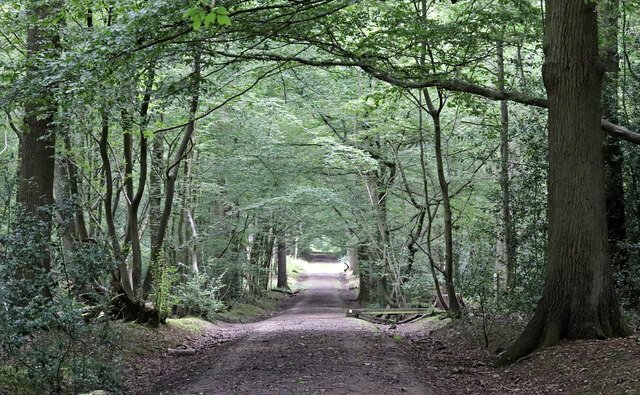
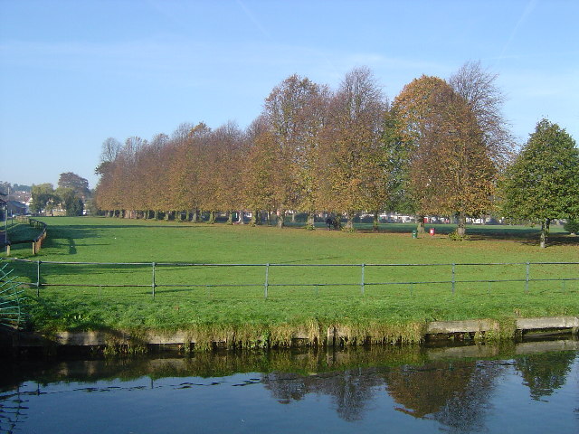
Crabtree Plantation is a picturesque woodland located in the county of Hertfordshire, England. Situated near the town of Hertford, this expansive forest covers an area of approximately 500 acres and is known for its diverse range of flora and fauna.
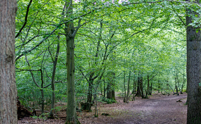
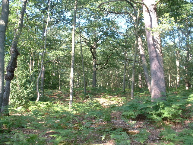
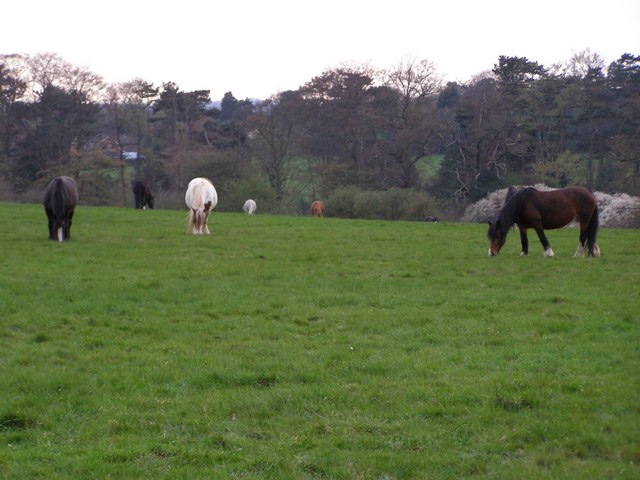
The plantation is primarily composed of a mixture of deciduous and coniferous trees, creating a stunning display of colors throughout the seasons. Oak, beech, and birch trees dominate the landscape, while spruce and pine trees provide a contrasting evergreen backdrop. This diverse ecosystem supports a wide variety of wildlife, including deer, foxes, and numerous bird species.
A network of well-maintained trails meanders through Crabtree Plantation, offering visitors the opportunity to explore the natural beauty of the woodland. These paths provide a tranquil setting for walking, jogging, or cycling, attracting both nature enthusiasts and fitness enthusiasts alike. Additionally, there are several picnic areas scattered throughout the plantation, providing the perfect spot for visitors to relax and enjoy a meal surrounded by nature.
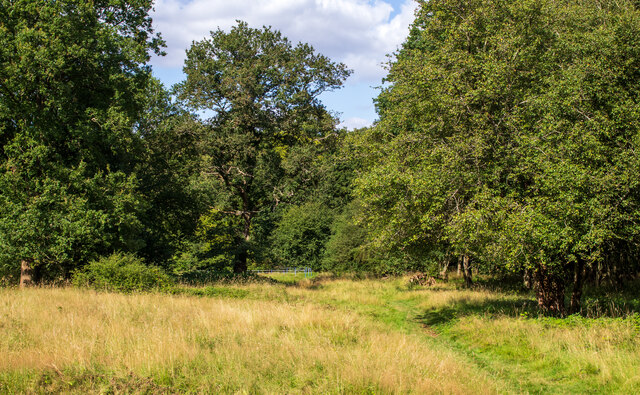
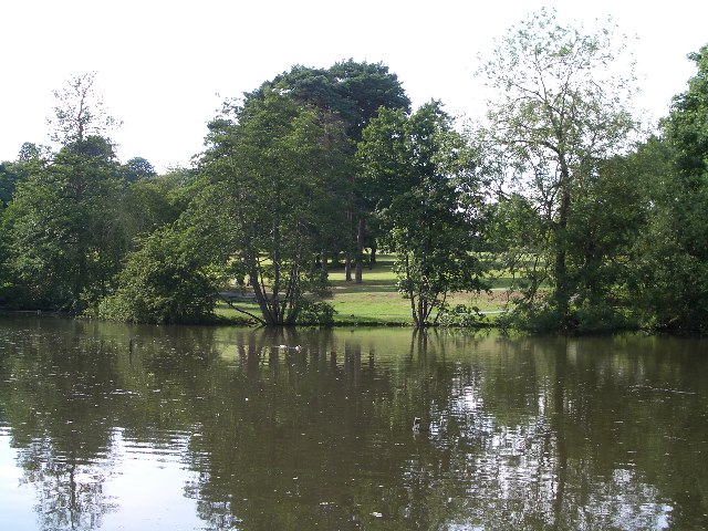
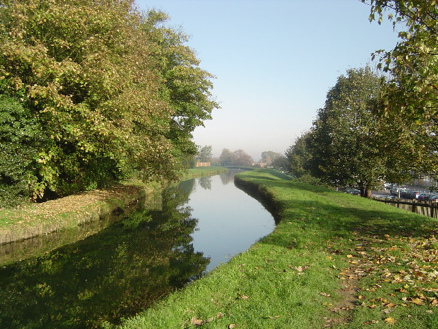
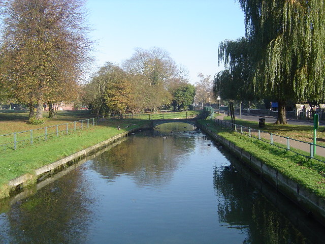
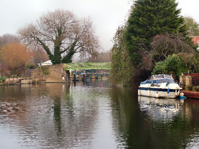
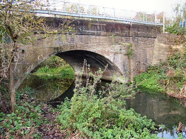
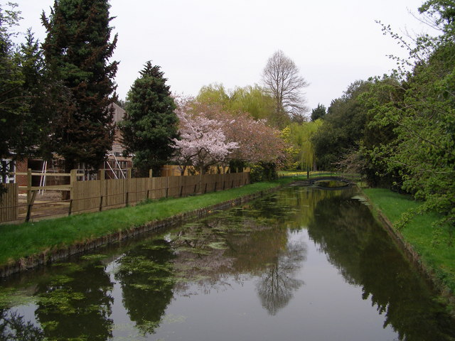
Crabtree Plantation is also home to a small stream that winds through the forest, creating a serene atmosphere and adding to the overall charm of the area. This stream is a popular spot for wildlife observation and photography, as it attracts a variety of aquatic creatures such as frogs and dragonflies.
Overall, Crabtree Plantation in Hertfordshire is a delightful destination for anyone seeking a peaceful escape into nature. With its stunning woodland scenery, diverse wildlife, and well-maintained trails, it offers a truly immersive experience for visitors of all ages.
If you have any feedback on the listing, please let us know in the comments section below.
Crabtree Plantation Images
Images are sourced within 2km of 51.748874/-0.028964533 or Grid Reference TL3607. Thanks to Geograph Open Source API. All images are credited.

Crabtree Plantation is located at Grid Ref: TL3607 (Lat: 51.748874, Lng: -0.028964533)
Administrative County: Hertfordshire
District: Broxbourne
Police Authority: Hertfordshire
What 3 Words
///fund.ropes.active. Near Broxbourne, Hertfordshire
Nearby Locations
Related Wikis

Cannix
Cannix otherwise Canwykes or Broxbournes, is an area near Broxbourne, Hertfordshire, England. It was named from its early tenants, and was held of the...
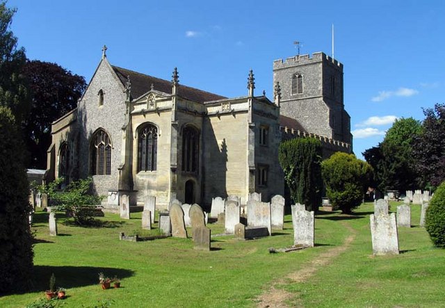
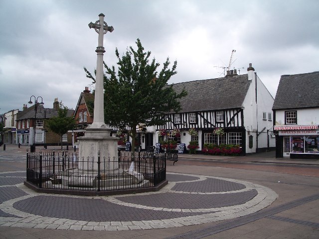
Broxbourne
Broxbourne is a town in the Borough of Broxbourne district, in Hertfordshire, England, with a population of 15,303 at the 2011 Census. It is located to...
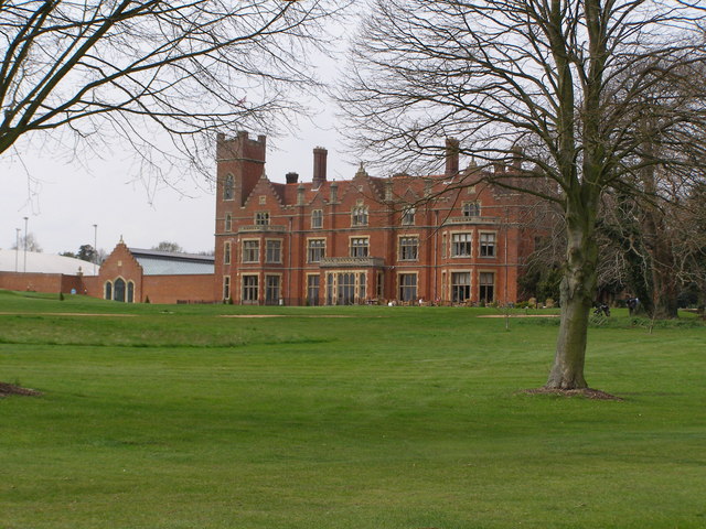
Broxbournebury Manor
Broxbournebury Manor is a country club in Broxbourne, Hertfordshire, England. It is a building of historical significance and is listed on the English...
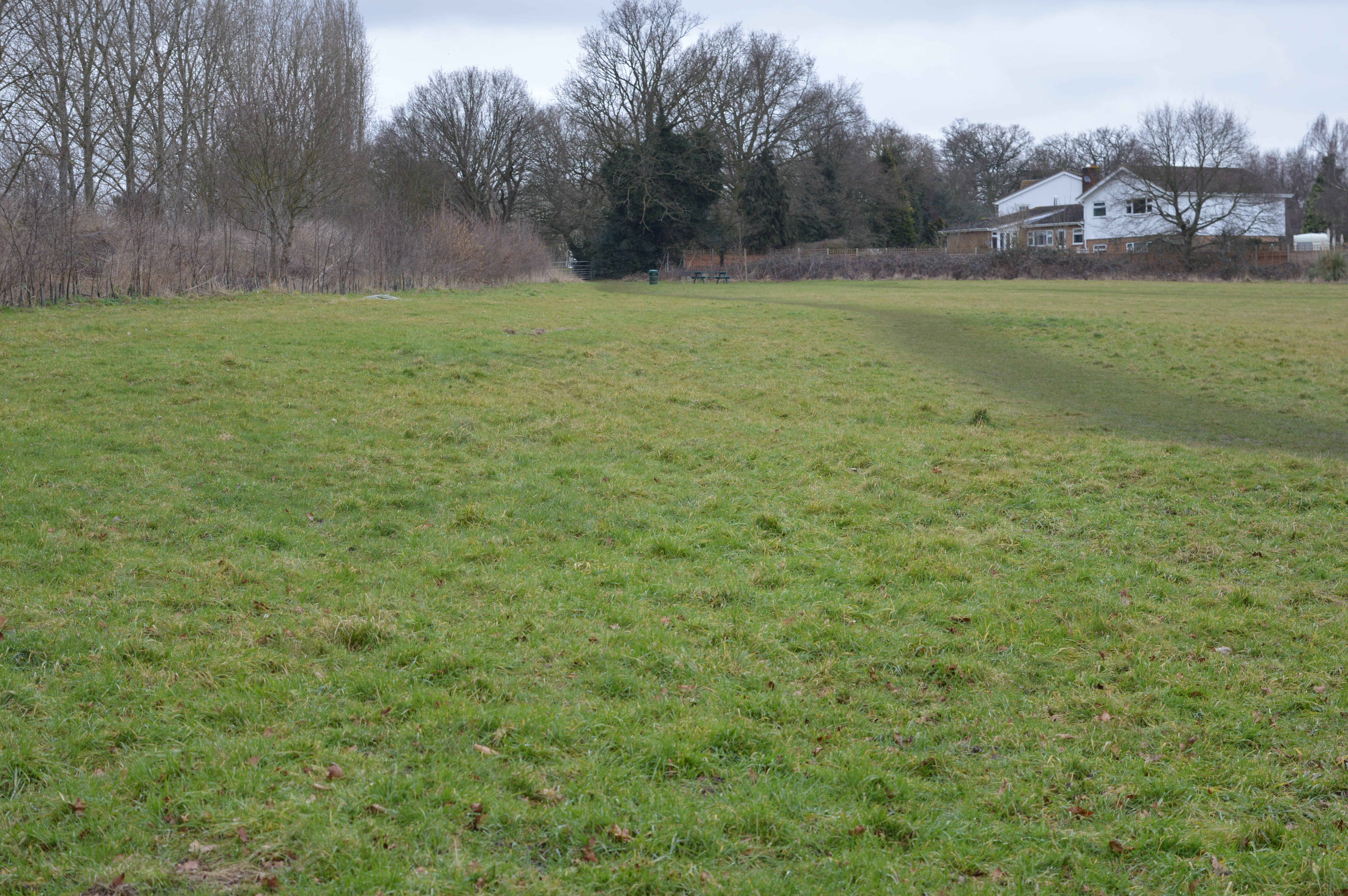
Top Field and Cozens Grove
Top Field and Cozens Grove is a 6.1 hectare Local Nature Reserve in Wormley in Hertfordshire. It is owned and managed by Broxbourne Borough Council.Top...
Nearby Amenities
Located within 500m of 51.748874,-0.028964533Have you been to Crabtree Plantation?
Leave your review of Crabtree Plantation below (or comments, questions and feedback).