Black Grove

Wood, Forest in Hertfordshire East Hertfordshire

England

Black Grove

Road junction, Potters Green Rowney Lane meets Whitehill.
Road junction, Potters Green Credit: Robin Webster

Black Grove is a picturesque woodland located in the county of Hertfordshire, England. Situated near the village of Aldbury, it covers an area of approximately 200 acres and forms part of the wider Ashridge Estate, managed by the National Trust. The wood is known for its dense and diverse vegetation, with towering trees and a rich understory of shrubs and wildflowers.

The main tree species found in Black Grove are oak, beech, and ash, which dominate the landscape and provide a habitat for a variety of wildlife. The wood is home to a wide range of bird species, including woodpeckers, owls, and nightingales, making it a popular destination for birdwatching enthusiasts. Additionally, small mammals such as squirrels, badgers, and rabbits can be spotted amongst the undergrowth.

The forest floor of Black Grove is covered in a vibrant carpet of bluebells during the spring, creating a mesmerizing spectacle that attracts visitors from far and wide. The wood also boasts several walking trails, allowing visitors to explore its natural beauty and enjoy the peaceful ambiance. These trails are well-maintained and offer opportunities for both leisurely strolls and more challenging hikes.

Black Grove is not only a haven for nature lovers but also holds historical significance. The wood contains the remains of ancient earthworks, indicating human activity dating back to prehistoric times. It is believed that the wood was once part of a larger forest that covered much of the surrounding area.

Overall, Black Grove is a captivating woodland, offering a tranquil escape from the hustle and bustle of modern life while providing a habitat for a diverse range of flora and fauna.

If you have any feedback on the listing, please let us know in the comments section below.
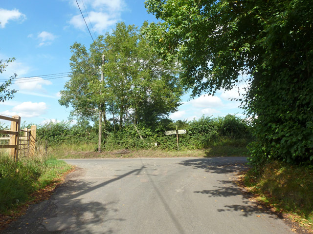
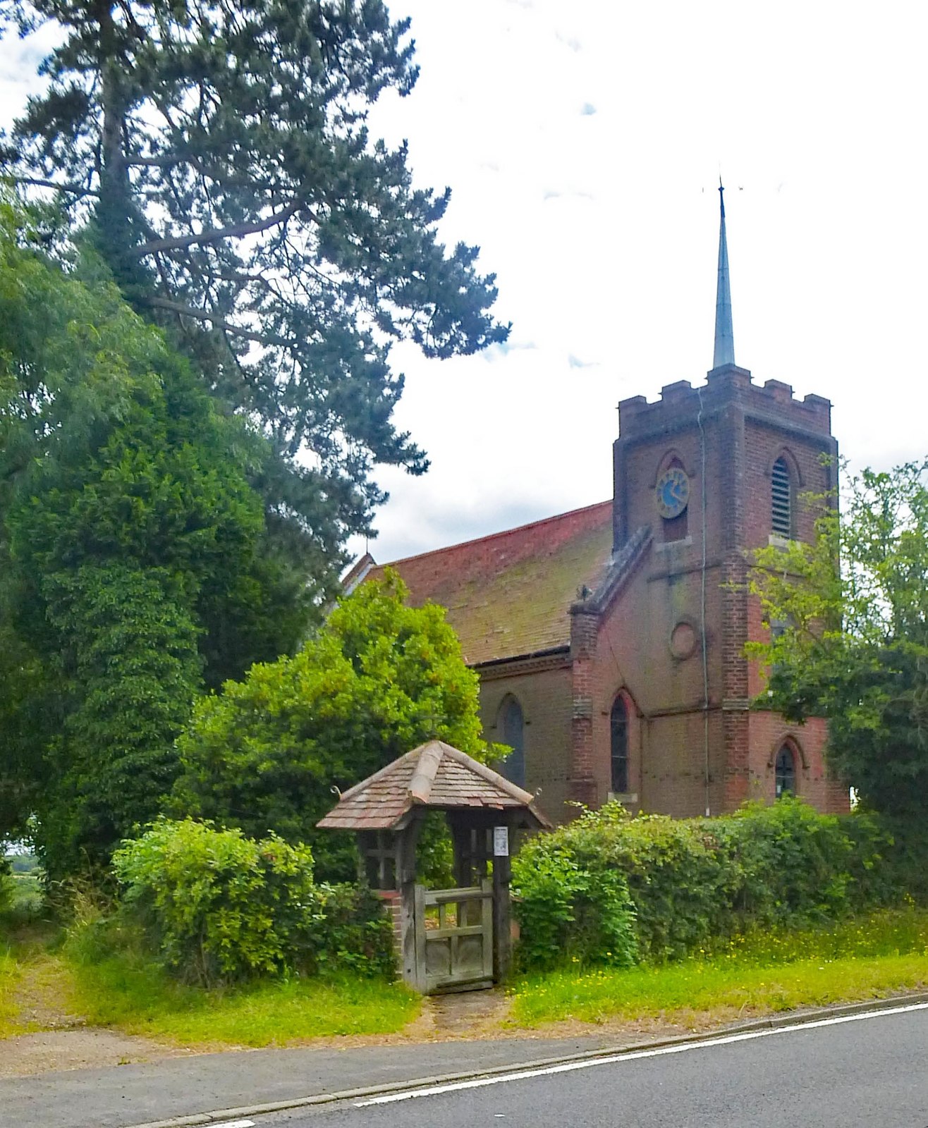
Black Grove Images

Images are sourced within 2km of 51.864418/-0.025413428 or Grid Reference TL3620. Thanks to Geograph Open Source API. All images are credited.

Road junction, Potters Green Rowney Lane meets Whitehill.
Road junction, Potters Green
Rowney Lane meets Whitehill.
Bridge over the A10 The A10 runs 161 miles from London to King's Lynn. via Cambridge and Ely. 
<span class="nowrap"><a title="http://www.sabre-roads.org.uk/wiki/index.php?title=A10" rel="nofollow ugc noopener" href="http://www.sabre-roads.org.uk/wiki/index.php?title=A10">Link</a><img style="margin-left:2px;" alt="External link" title="External link - shift click to open in new window" src="https://s1.geograph.org.uk/img/external.png" width="10" height="10"/></span>
Bridge over the A10
The A10 runs 161 miles from London to King's Lynn. via Cambridge and Ely. LinkExternal link
The A10 The A10 runs 161 miles from London to King's Lynn. via Cambridge and Ely. 
<span class="nowrap"><a title="http://www.sabre-roads.org.uk/wiki/index.php?title=A10" rel="nofollow ugc noopener" href="http://www.sabre-roads.org.uk/wiki/index.php?title=A10">Link</a><img style="margin-left:2px;" alt="External link" title="External link - shift click to open in new window" src="https://s1.geograph.org.uk/img/external.png" width="10" height="10"/></span>
The A10
The A10 runs 161 miles from London to King's Lynn. via Cambridge and Ely. LinkExternal link
A10, southbound The A10 runs 161 miles from London to King's Lynn. via Cambridge and Ely. 
<span class="nowrap"><a title="http://www.sabre-roads.org.uk/wiki/index.php?title=A10" rel="nofollow ugc noopener" href="http://www.sabre-roads.org.uk/wiki/index.php?title=A10">Link</a><img style="margin-left:2px;" alt="External link" title="External link - shift click to open in new window" src="https://s1.geograph.org.uk/img/external.png" width="10" height="10"/></span>
A10, southbound
The A10 runs 161 miles from London to King's Lynn. via Cambridge and Ely. LinkExternal link
Houses on Ermine Street, Colliers End These are the first houses coming in from the north. This is the original Roman road now bypassed by the newer A10.
Houses on Ermine Street, Colliers End
These are the first houses coming in from the north. This is the original Roman road now bypassed by the newer A10.
St Mary's Church, Colliers End Redundant. According to this <span class="nowrap"><a title="https://hertfordshirechurches.wordpress.com/2013/05/12/st-mary-colliers-end/" rel="nofollow ugc noopener" href="https://hertfordshirechurches.wordpress.com/2013/05/12/st-mary-colliers-end/">Link</a><img style="margin-left:2px;" alt="External link" title="External link - shift click to open in new window" src="https://s1.geograph.org.uk/img/external.png" width="10" height="10"/></span> the church dates from 1910, and was built to the designs of "the donor of the land Ernest Wickham and the builder Mr C. Pritlove of nearby Wadesmill."
St Mary's Church, Colliers End
Redundant. According to this LinkExternal link the church dates from 1910, and was built to the designs of "the donor of the land Ernest Wickham and the builder Mr C. Pritlove of nearby Wadesmill."
Colliers End village hall Mid 19th-century village hall. Built in 1862 as a Church of England school - as reported at this <span class="nowrap"><a title="http://www.british-history.ac.uk/vch/herts/vol3/pp347-366" rel="nofollow ugc noopener" href="http://www.british-history.ac.uk/vch/herts/vol3/pp347-366">Link</a><img style="margin-left:2px;" alt="External link" title="External link - shift click to open in new window" src="https://s1.geograph.org.uk/img/external.png" width="10" height="10"/></span>.
Colliers End village hall
Mid 19th-century village hall. Built in 1862 as a Church of England school - as reported at this LinkExternal link.
Farmhouse at Fisher's Farm, Colliers End Grade II listed weatherboarded farmhouse: architectural description at this <span class="nowrap"><a title="https://historicengland.org.uk/listing/the-list/list-entry/1102358" rel="nofollow ugc noopener" href="https://historicengland.org.uk/listing/the-list/list-entry/1102358">Link</a><img style="margin-left:2px;" alt="External link" title="External link - shift click to open in new window" src="https://s1.geograph.org.uk/img/external.png" width="10" height="10"/></span>.
Farmhouse at Fisher's Farm, Colliers End
Grade II listed weatherboarded farmhouse: architectural description at this LinkExternal link.
The A10, Colliers End
Layby on the A10, Colliers End
The A10, Colliers End
Northbound A10 Roadworks in the fast lane of the other carriageway.
Northbound A10
Roadworks in the fast lane of the other carriageway.
Northbound A10 Dowsetts Lane crosses the bridge.
Northbound A10
Dowsetts Lane crosses the bridge.
Old Milestone by Ermine Street, Colliers End, Standon parish Metal plate attached to stone post by the former A10, in parish of STANDON (EAST HERTFORDSHIRE District), Colliers End, near 'Lamb and Flag' PH, in pavement adjacent to telephone kiosk, on West side of road. Wadesmill plate, erected by the Wadesmill turnpike trust in the 19th century. 

Inscription reads:-
LONDON
25
WARE
4
BUNTINGFORD
6

Grade II listed.  
List Entry Number: 1347490 <span class="nowrap"><a title="https://historicengland.org.uk/listing/the-list/list-entry/1347490" rel="nofollow ugc noopener" href="https://historicengland.org.uk/listing/the-list/list-entry/1347490">Link</a><img style="margin-left:2px;" alt="External link" title="External link - shift click to open in new window" src="https://s1.geograph.org.uk/img/external.png" width="10" height="10"/></span>

Milestone Society National ID: HE_LK25.
Old Milestone by Ermine Street, Colliers End, Standon parish
Metal plate attached to stone post by the former A10, in parish of STANDON (EAST HERTFORDSHIRE District), Colliers End, near 'Lamb and Flag' PH, in pavement adjacent to telephone kiosk, on West side of road. Wadesmill plate, erected by the Wadesmill turnpike trust in the 19th century. Inscription reads:- LONDON 25 WARE 4 BUNTINGFORD 6 Grade II listed. List Entry Number: 1347490 LinkExternal link Milestone Society National ID: HE_LK25.
Dowsett's Farm from Colliers End View across farmland.  Foreground farm equipment draws the eye towards the farm in the distance.  Between, in a cutting, runs the new A10, bypassing wadesmill, High Cross and Colliers End.
Dowsett's Farm from Colliers End
View across farmland. Foreground farm equipment draws the eye towards the farm in the distance. Between, in a cutting, runs the new A10, bypassing wadesmill, High Cross and Colliers End.
Colliers End Village Hall This building, which bears a date of 1862, appears to be a village hall - despite the bell on the roof.  The village church is further down the road.  If anyone has further info - please let me know!
Colliers End Village Hall
This building, which bears a date of 1862, appears to be a village hall - despite the bell on the roof. The village church is further down the road. If anyone has further info - please let me know!
Fishers Farm Farm Buildings adjacent to Ermine Street in Colliers End.
Fishers Farm
Farm Buildings adjacent to Ermine Street in Colliers End.
Show me another place!

Black Grove is located at Grid Ref: TL3620 (Lat: 51.864418, Lng: -0.025413428)

Administrative County: Hertfordshire

District: East Hertfordshire

Police Authority: Hertfordshire

What 3 Words

///booth.steer.issues. Near Puckeridge, Hertfordshire

Related Wikis

Standon Green End

Standon Green End is a hamlet situated just off the A10 road between Ware and Puckeridge in Hertfordshire. At the 2011 Census the population of the hamlet...

Colliers End

Colliers End is a village in the civil parish of Standon, in the East Hertfordshire district, in Hertfordshire, England. It lies upon what was the A10...

High Cross, East Hertfordshire

High Cross is a village in the civil parish of Thundridge, in the East Hertfordshire district, in Hertfordshire, England. It lies upon what was the A10...

Sacombe Green

Sacombe Green is a hamlet located to the east of the village of Sacombe, in the East Hertfordshire district, in the county of Hertfordshire, England....

Nearby Amenities

Located within 500m of 51.864418,-0.025413428
Barrier: stile
Lat/Long: 51.8608317/-0.0219397
Barrier: stile
Bicycle: no
Foot: yes
Source: GPS
Lat/Long: 51.8638327/-0.0256965
Standon Green End
Created By: Potlatch 0.10f
Place: hamlet
Source: npe
Wikidata: Q7598664
Lat/Long: 51.8611563/-0.0233951
Post Box
Standon Green End
Collection Times: Mo-Fr 17:15; Sa 10:30
Ref: SG11 102
Lat/Long: 51.8608611/-0.022069
Barrier: stile
Lat/Long: 51.8619499/-0.0271252
The data included in this document is from www.openstreetmap.org. The data is made available under ODbL.

Have you been to Black Grove?

Leave your review of Black Grove below (or comments, questions and feedback).