Evedon

Settlement in Lincolnshire North Kesteven

England

Evedon

Footpath to Ewerby Recently re-routed.
Footpath to Ewerby Credit: Jonathan Thacker

Evedon is a small village located in the county of Lincolnshire, in eastern England. Situated approximately 4 miles north of the town of Sleaford, Evedon is a rural community with a population of around 150 residents.

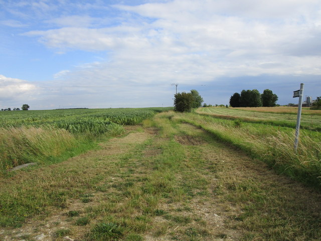
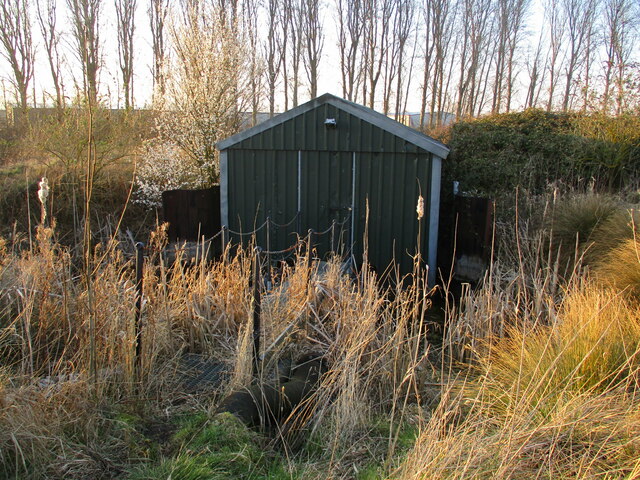
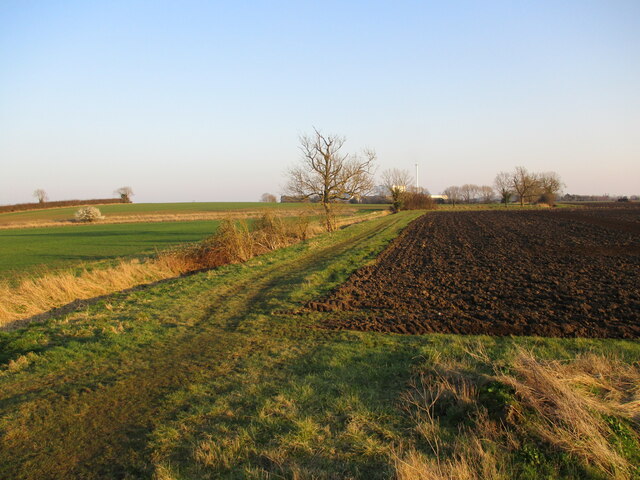
The village is characterized by its picturesque countryside setting, surrounded by rolling fields and farmlands. It is primarily a residential area, with a mix of traditional houses and more modern properties. The village has a close-knit community atmosphere, with a friendly and welcoming environment.

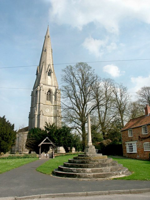
Evedon boasts a rich history, with evidence of human settlement dating back to the Roman period. The village has a few historical landmarks, including the St. Mary's Church, a beautiful medieval building that stands as a testament to the area's heritage.

Although Evedon does not have its own amenities, residents have easy access to nearby Sleaford, where they can find a range of shops, supermarkets, schools, and healthcare facilities. The village is well-connected by road, with the A15 and A17 highways passing nearby, providing convenient transportation links to surrounding areas.

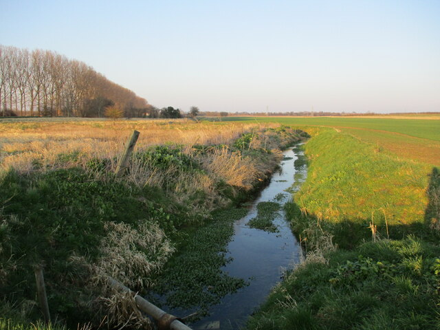
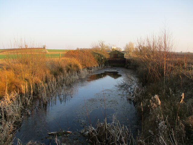
The village offers a tranquil and peaceful lifestyle, with stunning countryside views and ample opportunities for outdoor activities. The surrounding area is ideal for nature lovers, with various walking and cycling trails, as well as nearby natural attractions like the River Slea and the Lincolnshire Wolds.

Overall, Evedon is an idyllic rural village, perfect for those seeking a peaceful and close-knit community in the heart of Lincolnshire's countryside.

If you have any feedback on the listing, please let us know in the comments section below.

Evedon Images

Images are sourced within 2km of 53.013492/-0.367131 or Grid Reference TF0947. Thanks to Geograph Open Source API. All images are credited.

Footpath to Ewerby Recently re-routed.
Footpath to Ewerby
Recently re-routed.
Drain off Ewerby Road Looking towards Evedon.
Drain off Ewerby Road
Looking towards Evedon.
Bargate Hill
Bargate Hill
Evedon Wood, from Park Lane The perimeter of the wood reaches the dizzy heights of 16 metres above sea level.
Evedon Wood, from Park Lane
The perimeter of the wood reaches the dizzy heights of 16 metres above sea level.
B1 61306 approaching Holdingham Lane level crossing Returning from Lincoln on an excursion originating in Chelmsford.
B1 61306 approaching Holdingham Lane level crossing
Returning from Lincoln on an excursion originating in Chelmsford.
Footpath along the river bank The River Slea on the left is entirely hidden by reeds.
Footpath along the river bank
The River Slea on the left is entirely hidden by reeds.
Holdingham Mill Former mill buildings <span class="nowrap"><a title="https://historicengland.org.uk/listing/the-list/list-entry/1360440" rel="nofollow ugc noopener" href="https://historicengland.org.uk/listing/the-list/list-entry/1360440">Link</a><img style="margin-left:2px;" alt="External link" title="External link - shift click to open in new window" src="https://s1.geograph.org.uk/img/external.png" width="10" height="10"/></span>
Holdingham Mill
Former mill buildings LinkExternal link
Stubble field near Holdingham Mill
The remains of Corn Mill Lock Part of the Sleaford Navigation. The canal opened in 1794 and closed in 1881. <span class="nowrap"><a title="https://en.wikipedia.org/wiki/Sleaford_Navigation" rel="nofollow ugc noopener" href="https://en.wikipedia.org/wiki/Sleaford_Navigation">Link</a><img style="margin-left:2px;" alt="External link" title="External link - shift click to open in new window" src="https://s1.geograph.org.uk/img/external.png" width="10" height="10"/></span>
The remains of Corn Mill Lock
Part of the Sleaford Navigation. The canal opened in 1794 and closed in 1881. LinkExternal link
The church of St Mary
Renewable Energy plant east of Sleaford: aerial 2022 (1)
Old and New Rivers Slea: aerial 2022
Renewable Energy plant east of Sleaford: aerial 2022 (2)
Pumping station on the outskirts of Sleaford Pumps water from the Old River Slea into the present River Slea.
Pumping station on the outskirts of Sleaford
Pumps water from the Old River Slea into the present River Slea.
Fields east of Sleaford
The Old River Slea The present course of the River Slea is alongside the trees on the left.
The Old River Slea
The present course of the River Slea is alongside the trees on the left.
Pond and pumping station The pumping station pumps water from the Old River Slea into the present River Slea via this pond..
Pond and pumping station
The pumping station pumps water from the Old River Slea into the present River Slea via this pond..
Slea Bridge Carries the Sleaford Avoiding Line over the River Slea. The bridge has  recently been rebuilt, compare with <a href="https://www.geograph.org.uk/photo/627455">TF0746 : Railway bridge of the River Slea</a>
Slea Bridge
Carries the Sleaford Avoiding Line over the River Slea. The bridge has recently been rebuilt, compare with TF0746 : Railway bridge of the River Slea
Show me another place!

Evedon is located at Grid Ref: TF0947 (Lat: 53.013492, Lng: -0.367131)

Division: Parts of Kesteven

Administrative County: Lincolnshire

District: North Kesteven

Police Authority: Lincolnshire

What 3 Words

///traded.submerged.readings. Near Sleaford, Lincolnshire

Nearby Locations

Evedon Plantation Evedon

Related Wikis

Evedon

Evedon is a village in the North Kesteven district of Lincolnshire, England. It is situated 2 miles (3.2 km) north-east from the town of Sleaford. In 1885...

Sleaford Rural District

Sleaford was a rural district in Lincolnshire, Parts of Kesteven, England, from 1894 to 1931. It was created by the Local Government Act 1894 based on...

Kirkby la Thorpe

Kirkby la Thorpe is a village and civil parish in North Kesteven district of Lincolnshire, England.The population at the 2011 census was 1,120. It lies...

East Kesteven Rural District

East Kesteven was a rural district in Lincolnshire, Parts of Kesteven from 1931 to 1974. It was formed under a County Review Order, by the merger of most...

Sleaford Town F.C.

Sleaford Town F.C. is a football club based in Sleaford, Lincolnshire, England. The club plays in the United Counties League Premier Division North....
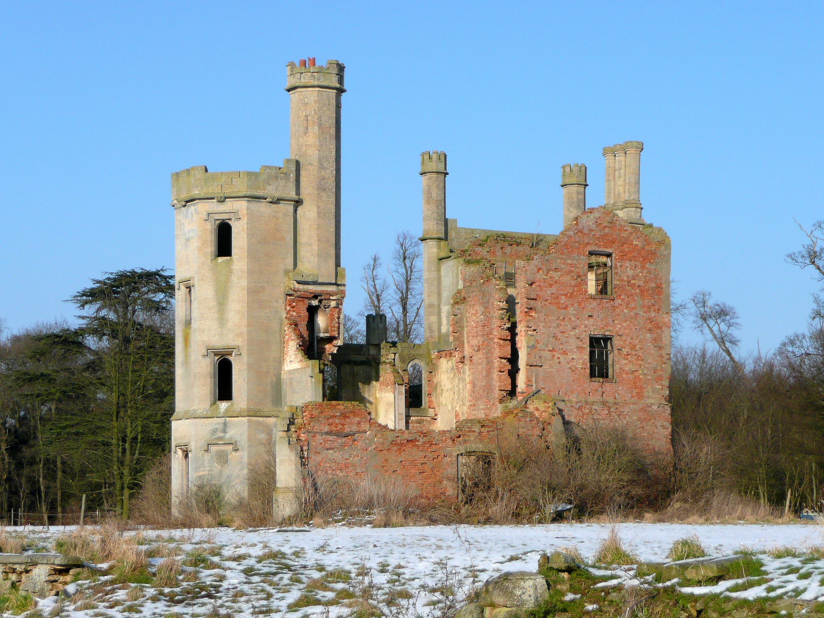
Haverholme Priory

Haverholme Priory was a monastery in Lincolnshire, England. Its remains are situated 4 miles (6 km) north-east of the town of Sleaford and less than 1...

Haverholme

Haverholme is a hamlet and site of Haverholme Priory in the North Kesteven district of Lincolnshire, England. It is situated about 4 miles (6 km) north...

Ewerby

Ewerby is a village in the North Kesteven district of Lincolnshire, England. It lies 3 miles (4.8 km) north-east from Sleaford and 2 miles (3.2 km) south...

Nearby Amenities

Located within 500m of 53.013492,-0.367131
Evedon
Is In: Lincolnshire, England, UK
Place: hamlet
Source: NPE
Lat/Long: 53.0135726/-0.365826
Power: pole
Lat/Long: 53.0135076/-0.3727064
Power: pole
Lat/Long: 53.0146662/-0.3731516
Power: pole
Lat/Long: 53.0127282/-0.3719272
Power: pole
Lat/Long: 53.0142685/-0.3734815
Power: pole
Lat/Long: 53.0154811/-0.3724542
Power: pole
Lat/Long: 53.0141515/-0.3741775
Power: pole
Lat/Long: 53.0132042/-0.3742606
Power: pole
Lat/Long: 53.0116906/-0.3730457
Power: pole
Lat/Long: 53.0117871/-0.3715928
Power: pole
Lat/Long: 53.0091517/-0.3678243
Power: pole
Lat/Long: 53.0101901/-0.3682378
Power: pole
Lat/Long: 53.0109122/-0.3685165
Power: pole
Lat/Long: 53.011407/-0.368894
Power: pole
Lat/Long: 53.0118262/-0.3698603
Power: pole
Lat/Long: 53.0119008/-0.3700726
Power: pole
Lat/Long: 53.0119853/-0.368943
Power: pole
Lat/Long: 53.012061/-0.3678081
Power: pole
Lat/Long: 53.0121041/-0.3665893
Power: pole
Lat/Long: 53.0122886/-0.3708626
Power: pole
Lat/Long: 53.0131217/-0.3598883
The data included in this document is from www.openstreetmap.org. The data is made available under ODbL.

Have you been to Evedon?

Leave your review of Evedon below (or comments, questions and feedback).