The Larches

Wood, Forest in Sussex Mid Sussex

England

The Larches

Gulledge Farmhouse This 17th century farmhouse is the dominating feature in this gridsquare. The picture was taken from the Worth Way which at this point follows the dismantled railway between Crawley Down and East Grinstead
Gulledge Farmhouse Credit: Darren Hill

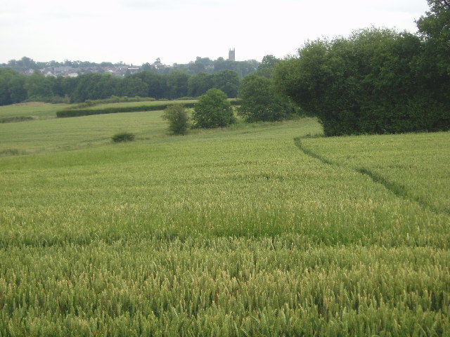
The Larches is a picturesque wood located in Sussex, England. Nestled amidst the rolling hills and lush greenery of the Sussex countryside, it is a popular destination for nature enthusiasts and outdoor lovers. The wood stretches over a vast area, covering approximately 100 acres of land.

As the name suggests, The Larches is home to a significant number of larch trees. These tall, deciduous conifers dominate the landscape, creating a striking visual spectacle, especially during the autumn months when their needles turn a vibrant golden color. In addition to larch, the wood boasts a diverse range of tree species, including oak, beech, and ash, adding to its natural beauty.

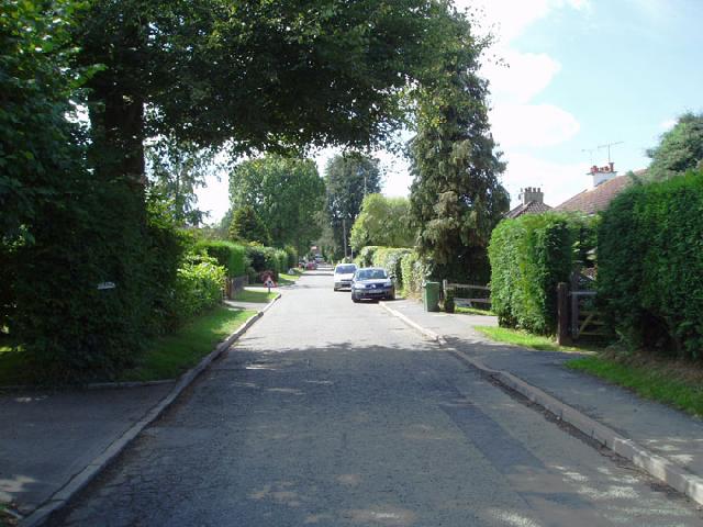
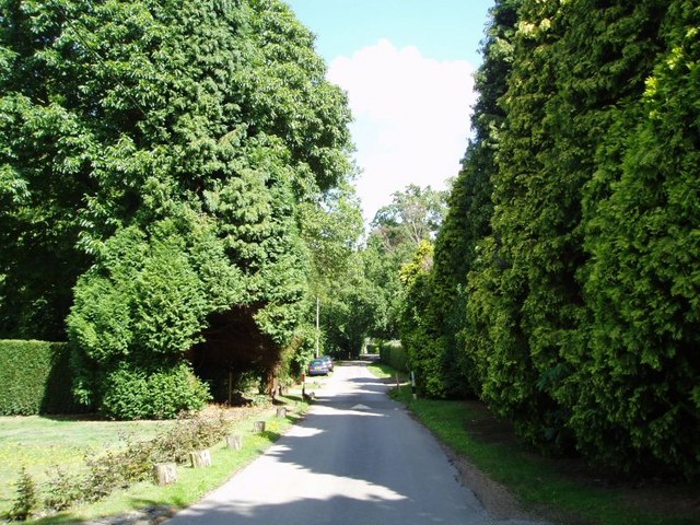
The woodland is crisscrossed with a network of walking trails, allowing visitors to explore its enchanting surroundings. The paths meander through the dense foliage, leading to secluded clearings and tranquil glades, providing a sense of peace and tranquility to those who wander through.

The Larches is also rich in wildlife, serving as a habitat for a variety of species. Birdwatchers will delight in the opportunity to spot woodland birds such as robins, blue tits, and woodpeckers. Squirrels can be seen scampering through the trees, while deer occasionally make an appearance, adding to the sense of wilderness and natural diversity.

Overall, The Larches is a captivating woodland, offering visitors a chance to immerse themselves in the beauty of nature. With its stunning larch trees, diverse flora and fauna, and peaceful atmosphere, it is a must-visit destination for anyone seeking a tranquil escape from the hustle and bustle of everyday life.

If you have any feedback on the listing, please let us know in the comments section below.
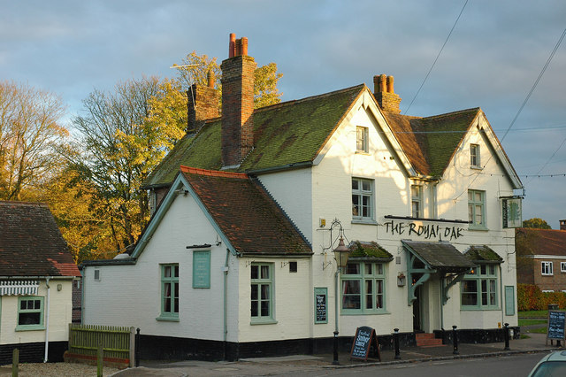
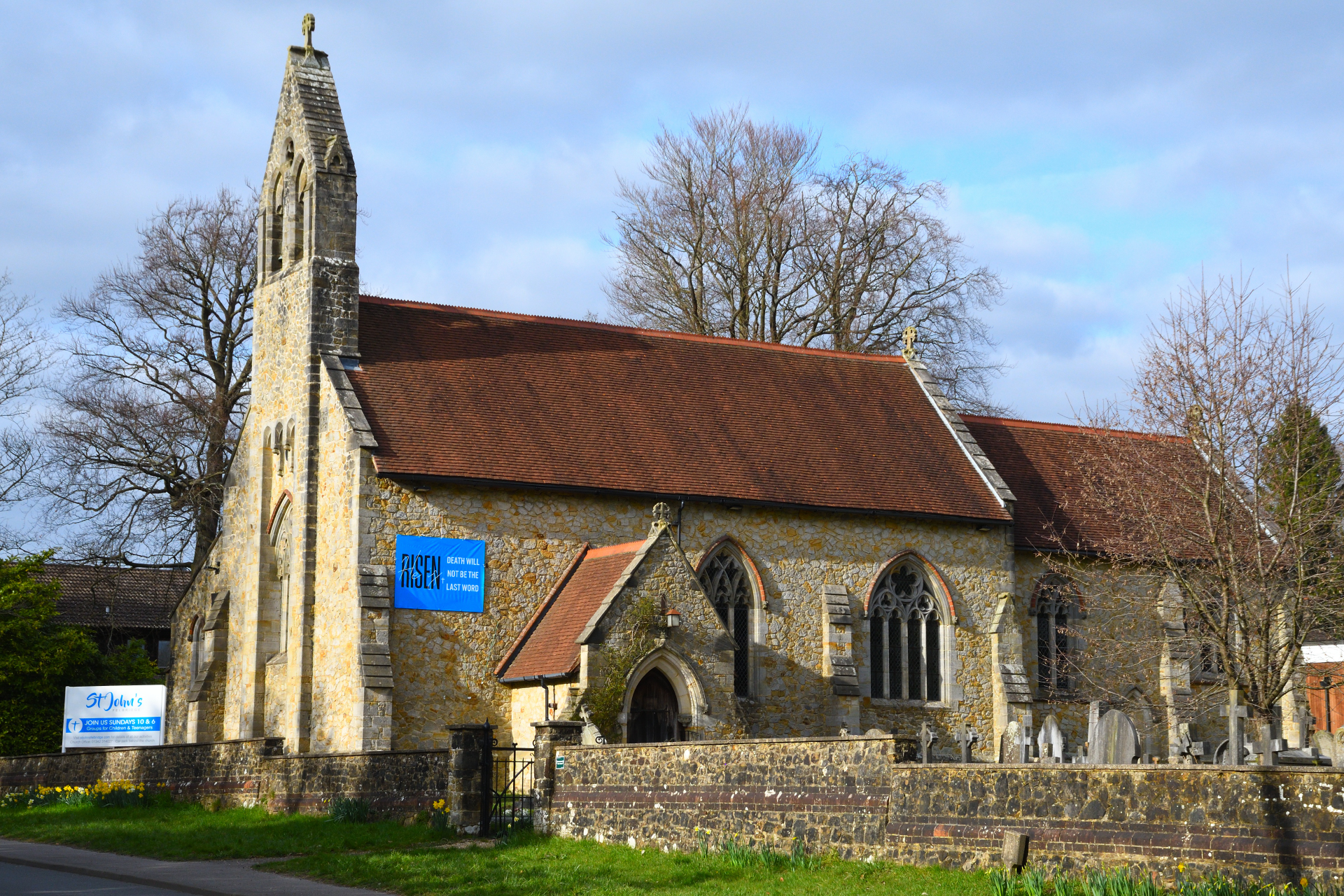
The Larches Images

Images are sourced within 2km of 51.125206/-0.062162153 or Grid Reference TQ3537. Thanks to Geograph Open Source API. All images are credited.

Gulledge Farmhouse This 17th century farmhouse is the dominating feature in this gridsquare. The picture was taken from the Worth Way which at this point follows the dismantled railway between Crawley Down and East Grinstead
Gulledge Farmhouse
This 17th century farmhouse is the dominating feature in this gridsquare. The picture was taken from the Worth Way which at this point follows the dismantled railway between Crawley Down and East Grinstead
Across towards East Grinstead The footpath crosses the road at this point and you can see it running towards East Grinstead town church
Across towards East Grinstead
The footpath crosses the road at this point and you can see it running towards East Grinstead town church
Old railway bridge, Crawley Down Carries the B2028 over the Worth Way.
Old railway bridge, Crawley Down
Carries the B2028 over the Worth Way.
Ducks on Crawley Down Pond Taken from Worth Way looking north
Ducks on Crawley Down Pond
Taken from Worth Way looking north
Imberhorne Lane bridge Carries Imberhorne Lane over Worth Way.
Imberhorne Lane bridge
Carries Imberhorne Lane over Worth Way.
Fen Cottage Fen Cottage near Turners Hill West Sussex is located at a footpath Junction you have the choice of a walk to Turners Hill, Crawley Down, or The Alexander House Hotel.
Fen Cottage
Fen Cottage near Turners Hill West Sussex is located at a footpath Junction you have the choice of a walk to Turners Hill, Crawley Down, or The Alexander House Hotel.
Bridleway near Hophurst Farm
Road near Hophurst Farm
Rowplatt Lane A narrow lane lined with houses
Rowplatt Lane
A narrow lane lined with houses
Furnace Pond Now a private fishing lake, once a hammer pond for the forge.
Furnace Pond
Now a private fishing lake, once a hammer pond for the forge.
Footpath sign in Furnace Green This is where the footpath leaves the road
Footpath sign in Furnace Green
This is where the footpath leaves the road
Parish Council Noticeboard Serving two adjoining parishes - WORTH and FELBRIDGE.  Next to footpath sign.
Parish Council Noticeboard
Serving two adjoining parishes - WORTH and FELBRIDGE. Next to footpath sign.
Lake View Road, Furnace Green High Leylandii and large house plots along this road
Lake View Road, Furnace Green
High Leylandii and large house plots along this road
Haven Sports Field The sports field comprises four football pitches and a dog exercise route. Adjacent to the field is a car park with recycling facilities and the Haven Community Centre.
Haven Sports Field
The sports field comprises four football pitches and a dog exercise route. Adjacent to the field is a car park with recycling facilities and the Haven Community Centre.
Haven Sports Field car park Recycling facilities in the Haven Sports Field car park.
Haven Sports Field car park
Recycling facilities in the Haven Sports Field car park.
Footpath across the fields from lake From the mill lakes at Fen Place, this footpath runs towards the Sussex border Path at the top of the field
Footpath across the fields from lake
From the mill lakes at Fen Place, this footpath runs towards the Sussex border Path at the top of the field
Lakes at Fen Place The footpath crosses a very substantial Victorian bridge that also acts as a dam. Water from these lakes feed the River Medway
Lakes at Fen Place
The footpath crosses a very substantial Victorian bridge that also acts as a dam. Water from these lakes feed the River Medway
Country House and Water Tower The rather stark concrete water tower dominates the view of the Georgian House from this footpath angle
Country House and Water Tower
The rather stark concrete water tower dominates the view of the Georgian House from this footpath angle
Show me another place!

The Larches is located at Grid Ref: TQ3537 (Lat: 51.125206, Lng: -0.062162153)

Administrative County: West Sussex

District: Mid Sussex

Police Authority: Sussex

What 3 Words

///shuts.club.square. Near Crawley Down, West Sussex

Related Wikis

Imberdown (electoral division)

Imberdown is an electoral division of West Sussex in the United Kingdom, and returns one member to sit on West Sussex County Council. == Extent == The...

Crawley Down Gatwick F.C.

Crawley Down Gatwick Football Club is a football club based in Crawley Down, West Sussex, England. They are currently members of the Southern Combination...

Grange Road railway station

Grange Road was a railway station on the Three Bridges to Tunbridge Wells Central Line. The station opened in 1860 and was rebuilt on an enlarged scale...

Crawley Down

Crawley Down is a village in the Mid Sussex district of West Sussex, England. There is one church, one school, and a number of social groups. It lies...

Crawley Down Monastery

The Monastery of the Holy Trinity, Crawley Down is an Anglican monastery located at Crawley Down in West Sussex, England. The monastery belongs to the...

Worth Way

The Worth Way is a 7-mile (11 km) footpath and bridleway linking the West Sussex towns of Crawley and East Grinstead via the village of Crawley Down. Mostly...

Felbridge

Felbridge is a village and civil parish in the Tandridge district of Surrey with a playing field within its focal area, narrowly in West Sussex. Felbridge...

Imberhorne School

Imberhorne School is a comprehensive school in East Grinstead, West Sussex, England, which admits children between the ages of 11 and 18. The school has...

Nearby Amenities

Located within 500m of 51.125206,-0.062162153
Turning Circle
Lat/Long: 51.1237615/-0.0665008
Turning Circle
Lat/Long: 51.1239415/-0.0656096
Turning Circle
Lat/Long: 51.1262425/-0.0675696
Turning Circle
Lat/Long: 51.1263115/-0.0665697
Ford: yes
Lat/Long: 51.1242546/-0.0617123
Turning Circle
Lat/Long: 51.1236678/-0.0674939
Generator Method: photovoltaic
Generator Output Electricity: yes
Generator Source: solar
Generator Type: solar_photovoltaic_panel
Location: roof
Power: generator
Lat/Long: 51.1235192/-0.0687638
Generator Method: photovoltaic
Generator Output Electricity: yes
Generator Source: solar
Generator Type: solar_photovoltaic_panel
Location: roof
Power: generator
Lat/Long: 51.123531/-0.0687048
Generator Method: photovoltaic
Generator Output Electricity: yes
Generator Source: solar
Generator Type: solar_photovoltaic_panel
Location: roof
Power: generator
Lat/Long: 51.1261445/-0.0682381
Generator Method: photovoltaic
Generator Output Electricity: yes
Generator Source: solar
Generator Type: solar_photovoltaic_panel
Location: roof
Power: generator
Lat/Long: 51.1263381/-0.0684527
Generator Method: photovoltaic
Generator Output Electricity: yes
Generator Source: solar
Generator Type: solar_photovoltaic_panel
Location: roof
Power: generator
Lat/Long: 51.1263709/-0.06869
Generator Method: photovoltaic
Generator Output Electricity: yes
Generator Source: solar
Generator Type: solar_photovoltaic_panel
Location: roof
Power: generator
Lat/Long: 51.1263945/-0.0689261
Generator Method: photovoltaic
Generator Output Electricity: yes
Generator Source: solar
Generator Type: solar_photovoltaic_panel
Location: roof
Power: generator
Lat/Long: 51.1263709/-0.0687772
Generator Method: photovoltaic
Generator Output Electricity: yes
Generator Source: solar
Generator Type: solar_photovoltaic_panel
Location: roof
Power: generator
Lat/Long: 51.1264189/-0.0690052
Generator Method: photovoltaic
Generator Output Electricity: yes
Generator Source: solar
Generator Type: solar_photovoltaic_panel
Location: roof
Power: generator
Lat/Long: 51.126131/-0.0688845
Generator Method: photovoltaic
Generator Output Electricity: yes
Generator Source: solar
Generator Type: solar_photovoltaic_panel
Location: roof
Power: generator
Lat/Long: 51.1261133/-0.0683843
Generator Method: photovoltaic
Generator Output Electricity: yes
Generator Source: solar
Generator Type: solar_photovoltaic_panel
Location: roof
Power: generator
Lat/Long: 51.12427/-0.0686672
Generator Method: photovoltaic
Generator Output Electricity: yes
Generator Source: solar
Generator Type: solar_photovoltaic_panel
Location: roof
Power: generator
Lat/Long: 51.125371/-0.0674039
Bench
Lat/Long: 51.1227616/-0.0669793
Bench
Lat/Long: 51.1226511/-0.0667704
The data included in this document is from www.openstreetmap.org. The data is made available under ODbL.

Have you been to The Larches?

Leave your review of The Larches below (or comments, questions and feedback).