L Grove

Wood, Forest in Cambridgeshire South Cambridgeshire

England

L Grove

Cambridge Services electric charging station
Cambridge Services electric charging station Credit: Roy Hughes

L Grove is a charming village located in Cambridgeshire, England. Situated amidst picturesque woodlands and forests, it offers a serene and idyllic setting for residents and visitors alike. The village is known for its abundant greenery and natural beauty.

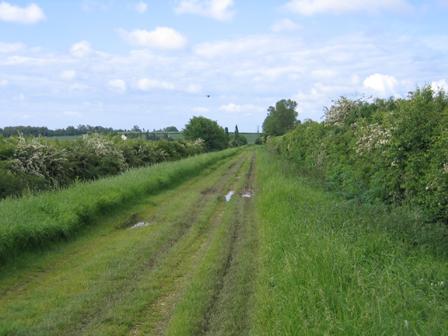
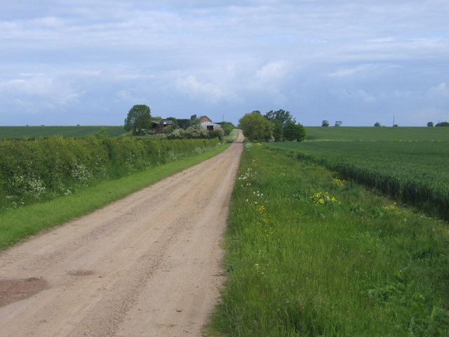
The woodlands surrounding L Grove are home to a diverse range of flora and fauna, making it an ideal destination for nature enthusiasts. The forest trails provide ample opportunities for hiking, walking, or simply enjoying a peaceful stroll amidst the tall, majestic trees. With its tranquil ambiance and fresh air, L Grove offers a welcome respite from the hustle and bustle of city life.

The village itself boasts a close-knit community, with friendly locals who take pride in their surroundings. Quaint cottages and traditional houses dot the landscape, adding to the village's charm. L Grove also features a small, but well-maintained, village green where residents can gather for recreational activities or community events.

Despite its rural setting, L Grove is conveniently located near major transportation routes, making it easily accessible for residents and visitors. The village also benefits from its proximity to larger towns and cities, such as Cambridge, which offer a wider range of amenities and services.

In summary, L Grove in Cambridgeshire is a hidden gem nestled in the heart of a lush forest. Its natural beauty, friendly community, and convenient location make it an attractive place to live or visit for those seeking a peaceful and picturesque setting.

If you have any feedback on the listing, please let us know in the comments section below.
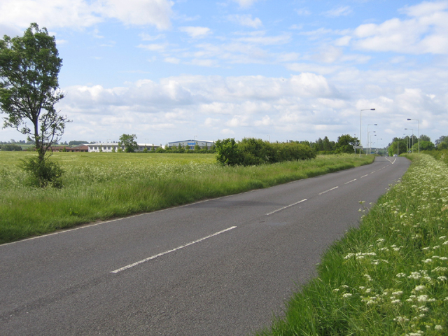
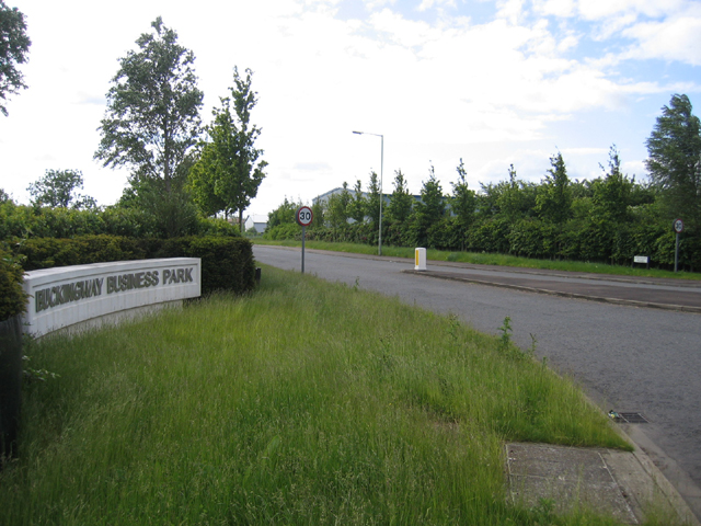
L Grove Images

Images are sourced within 2km of 52.26279/-0.016012599 or Grid Reference TL3564. Thanks to Geograph Open Source API. All images are credited.

Cambridge Services electric charging station
Cambridge Services
Cambridge Services
Lolworth Church looking N
Boxworth, St Peter <span class="nowrap"><a title="http://www.druidic.org/camchurch/churches/boxworth.htm" rel="nofollow ugc noopener" href="http://www.druidic.org/camchurch/churches/boxworth.htm">Link</a><img style="margin-left:2px;" alt="External link" title="External link - shift click to open in new window" src="https://s1.geograph.org.uk/img/external.png" width="10" height="10"/></span>
Boxworth, St Peter
Field bean cultivation, Boxworth A bit of relief from the wheat that currently covers most of the land round here.
Field bean cultivation, Boxworth
A bit of relief from the wheat that currently covers most of the land round here.
Cambridge services Busy services off the busy A14
Cambridge services
Busy services off the busy A14
Utton's Drove, Swavesey, Cambs – view SW towards the A14.
Utton's Drove, Swavesey, Cambs
– view SW towards the A14.
Tipplers' Road, Swavesey, Cambs – view towards Thorpes Farm.
Tipplers' Road, Swavesey, Cambs
– view towards Thorpes Farm.
Bucking Way Road, Swavesey, Cambs – view SSW towards the A14 road.
Bucking Way Road, Swavesey, Cambs
– view SSW towards the A14 road.
Buckingway Business Park, Swavesey, Cambs entrance from Bucking Way Road.
Buckingway Business Park, Swavesey, Cambs
entrance from Bucking Way Road.
Footpath and field boundary Quiet and unremarkable Cambridgeshire agricultural land.
Footpath and field boundary
Quiet and unremarkable Cambridgeshire agricultural land.
Hall Farm:  Meridian Zero The Greenwich Meridian passes through Hall Farm, the first prominent building in Lolworth as you approach along the track from Childerley.
Hall Farm: Meridian Zero
The Greenwich Meridian passes through Hall Farm, the first prominent building in Lolworth as you approach along the track from Childerley.
Memorial for Revd Arnold Kirke Smith Rector  of the Parish for 38 years before his death in 1927.
Memorial for Revd Arnold Kirke Smith
Rector of the Parish for 38 years before his death in 1927.
Boxworth
Boxworth
Footpath from Lolworth to Boxworth The footpath is wide and pleasant although there is an audible reminder of the  presence of A14 road less than a mile away.
Footpath from Lolworth to Boxworth
The footpath is wide and pleasant although there is an audible reminder of the presence of A14 road less than a mile away.
Footpath to nowhere The 1:25,000 OS map shows this footpath petering out as it approaches Boxworth. It is the only right of way in TL3563 and apparently come to a dead end.
Footpath to nowhere
The 1:25,000 OS map shows this footpath petering out as it approaches Boxworth. It is the only right of way in TL3563 and apparently come to a dead end.
Lolworth village The village hall is on the left and the wheelie bins show it's waste collection day.
Lolworth village
The village hall is on the left and the wheelie bins show it's waste collection day.
Children's recreation area A small plot at end of village with some play equipment.
Children's recreation area
A small plot at end of village with some play equipment.
Show me another place!

L Grove is located at Grid Ref: TL3564 (Lat: 52.26279, Lng: -0.016012599)

Administrative County: Cambridgeshire

District: South Cambridgeshire

Police Authority: Cambridgeshire

What 3 Words

///falls.certainly.implore. Near Bar Hill, Cambridgeshire

Nearby Locations

L Grove Alice Grove

Related Wikis

Boxworth

Boxworth is a village in South Cambridgeshire, situated about eight miles to the north-west of Cambridge. It falls under the Papworth Everard and Caxton...

Lolworth

Lolworth is a small village and civil parish in the district of South Cambridgeshire, in the county of Cambridgeshire, England, located approximately 8...

Overhall Grove

Overhall Grove is a 17.4-hectare (43-acre) biological Site of Special Scientific Interest to the east of Knapwell in Cambridgeshire. It is a Nature Conservation...

Knapwell

Knapwell is a hamlet in Cambridgeshire situated about 10 miles (16 km) west of Cambridge. It is within the diocese of Ely. Its population was estimated...

Nearby Amenities

Located within 500m of 52.26279,-0.016012599
Barrier: kissing_gate
Lat/Long: 52.2612648/-0.0229098
Barrier: kissing_gate
Lat/Long: 52.2620071/-0.0209382
The data included in this document is from www.openstreetmap.org. The data is made available under ODbL.

Have you been to L Grove?

Leave your review of L Grove below (or comments, questions and feedback).