Birch Wood
Wood, Forest in Surrey Tandridge
England
Birch Wood

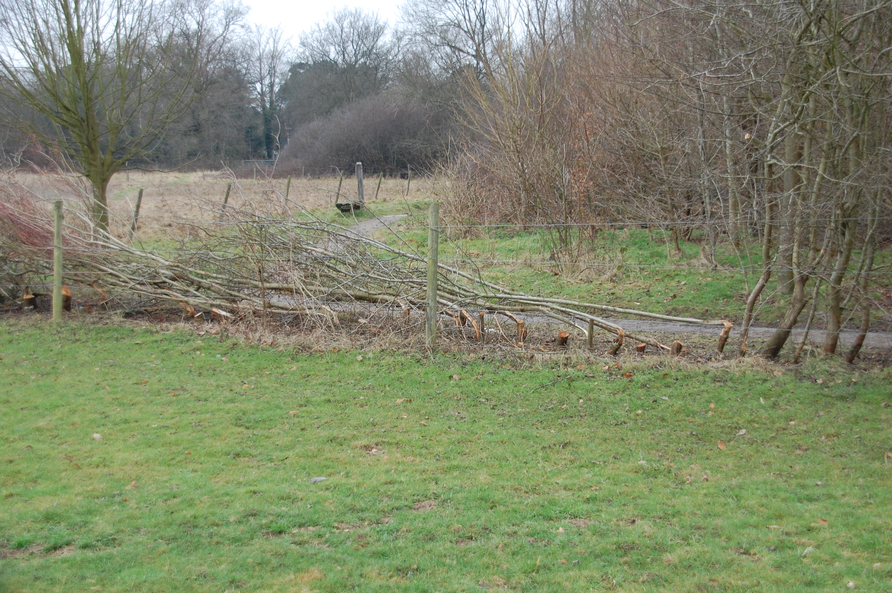
Birch Wood is a picturesque forest located in the county of Surrey, England. Covering an area of approximately 100 hectares, this wood is predominantly made up of birch trees, hence its name. It is a popular destination for nature enthusiasts, hikers, and families seeking a tranquil escape from the bustling city life.
The wood boasts a diverse range of flora and fauna, making it a haven for wildlife. Visitors can spot a variety of bird species, including woodpeckers and owls, as well as squirrels, rabbits, and deer. The forest floor is adorned with a carpet of bluebells during spring, creating a breathtaking sight for those lucky enough to witness it.
Various walking trails wind their way through Birch Wood, providing opportunities for exploration and discovery. These trails are well-maintained and offer options for both short and long hikes, catering to individuals of different fitness levels. Along the way, visitors can enjoy the peaceful ambiance of the woodland, taking in the fresh scent of the trees and the gentle rustling of leaves.
Birch Wood is also home to a diverse range of plant life. In addition to the birch trees, the forest features a mix of oak, beech, and pine trees, contributing to its rich and vibrant ecosystem. The wood is meticulously managed by local authorities to preserve its natural beauty and protect the delicate balance of its inhabitants.
Overall, Birch Wood in Surrey is a natural gem that offers a serene and rejuvenating experience for visitors. Its stunning landscapes, diverse wildlife, and well-maintained trails make it a must-visit destination for nature lovers and outdoor enthusiasts alike.
If you have any feedback on the listing, please let us know in the comments section below.
Birch Wood Images
Images are sourced within 2km of 51.291555/-0.059770641 or Grid Reference TQ3556. Thanks to Geograph Open Source API. All images are credited.


Birch Wood is located at Grid Ref: TQ3556 (Lat: 51.291555, Lng: -0.059770641)
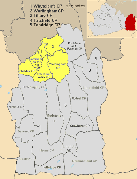
Administrative County: Surrey
District: Tandridge
Police Authority: Surrey
What 3 Words
///number.palace.insist. Near Caterham, Surrey
Nearby Locations
Related Wikis
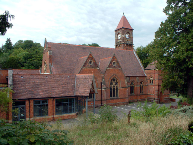
Woldingham railway station
Woldingham railway station is on the Oxted line in the west of the civil parish and village of Woldingham in Surrey, England. It is 17 miles 15 chains...
Caterham and Warlingham Urban District
Caterham and Warlingham was an Urban District of Surrey in England until 1974. == Geographic evolution == It was pre-emptively formed shortly before the...
Blanchman's Farm
Blanchman's Farm is a 9.4-hectare (23-acre) Local Nature Reserve in Warlingham in Surrey. It is owned by Tandridge District Council and managed by the...

Woldingham
Woldingham is a village and civil parish high on the North Downs between Oxted and Warlingham in Surrey, England, within the M25, 17.5 miles (28.2 km)...
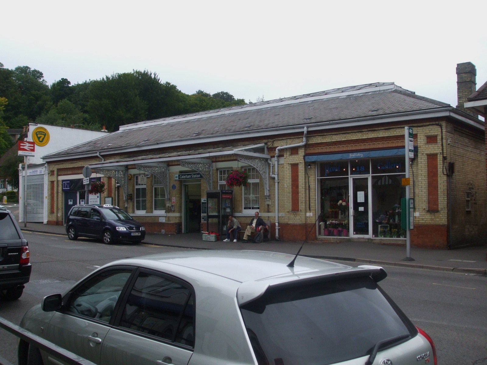
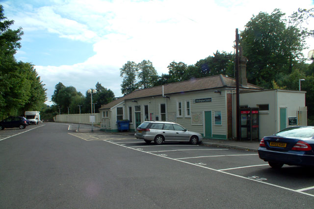
Caterham railway station
Caterham railway station serves the town of Caterham in the Tandridge district of Surrey. Caterham train drivers depot was opened on Sunday 17 June 1928...

Hill Park, Tatsfield
Hill Park, Tatsfield is a 24.5-hectare (61-acre) Local Nature Reserve south of Tatsfield in Surrey. It is owned by Surrey County Council and managed by...

Caterham Cars
Caterham Cars is a British manufacturer of specialist lightweight sports cars established in Caterham, England, with their headquarters in Dartford, England...
De Stafford School
de Stafford School is a mixed secondary school located in Caterham, Surrey, England. The school educates students from ages 11 to 16. == Organisation... ==
Nearby Amenities
Located within 500m of 51.291555,-0.059770641Have you been to Birch Wood?
Leave your review of Birch Wood below (or comments, questions and feedback).