Eastern Road Plantation

Wood, Forest in Sussex Mid Sussex

England

Eastern Road Plantation

Autumn Lady's-tresses, Walstead Cemetery Spiranthes spiralis is the last orchid of the season. Largely confined to southern England in the UK, this small orchid grows in short grass, usually on chalk or limestone.  Away from these, churchyards and not too recently mown dry lawns are worth searching.
Autumn Lady's-tresses, Walstead Cemetery Credit: Robin Webster

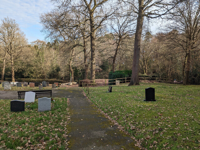
Located in Sussex, England, Eastern Road Plantation is a picturesque woodland area known for its natural beauty and diverse ecosystem. Covering a vast expanse of land, this plantation is a popular destination for nature enthusiasts, hikers, and wildlife enthusiasts.

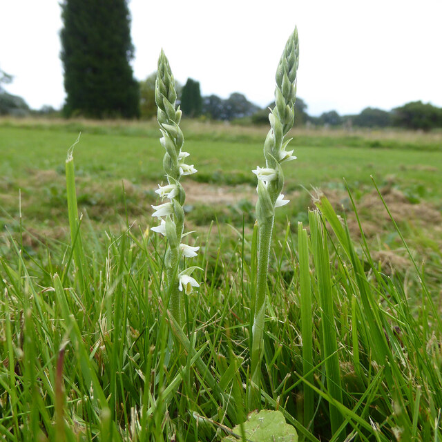
Eastern Road Plantation is primarily made up of deciduous trees, including oak, ash, and birch, which provide a stunning display of colors during the autumn season. The woodland floor is adorned with a variety of wildflowers, creating a vibrant and enchanting atmosphere.

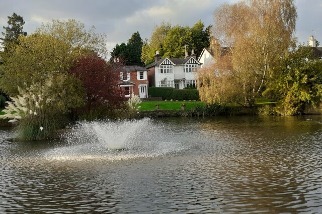
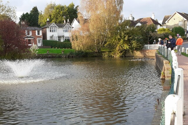
The plantation is crisscrossed by several well-maintained walking trails, allowing visitors to explore the area at their own pace. These trails offer breathtaking views of the surrounding countryside, making it a favorite spot for photographers and artists. Along the way, visitors may also come across small streams and ponds, home to a range of aquatic plants and animals.

The woodland is teeming with wildlife, providing a haven for various species. Birdwatchers can spot a plethora of bird species, including woodpeckers, owls, and songbirds. Eastern Road Plantation is also home to mammals such as deer, foxes, and squirrels, which can often be seen darting through the trees or foraging for food.

Whether it's a leisurely stroll, birdwatching, or simply enjoying the peace and tranquility of nature, Eastern Road Plantation offers something for everyone. With its stunning natural beauty and abundant wildlife, this woodland is a true gem in Sussex's landscape.

If you have any feedback on the listing, please let us know in the comments section below.

Eastern Road Plantation Images

Images are sourced within 2km of 51.011735/-0.073367966 or Grid Reference TQ3525. Thanks to Geograph Open Source API. All images are credited.

Autumn Lady's-tresses, Walstead Cemetery Spiranthes spiralis is the last orchid of the season. Largely confined to southern England in the UK, this small orchid grows in short grass, usually on chalk or limestone.  Away from these, churchyards and not too recently mown dry lawns are worth searching.
Autumn Lady's-tresses, Walstead Cemetery
Spiranthes spiralis is the last orchid of the season. Largely confined to southern England in the UK, this small orchid grows in short grass, usually on chalk or limestone. Away from these, churchyards and not too recently mown dry lawns are worth searching.
Lindfield Pond When the fountain was working.
Lindfield Pond
When the fountain was working.
Lindfield Pond When the fountain was working, and people were feeding the ducks.
Lindfield Pond
When the fountain was working, and people were feeding the ducks.
Gated entrance to Sunte House
Haywards Heath Cemetery - central drive Usually accessible for vehicles, but closed at this time because of the poor condition of the surface, or so the notice said. It seemed no worse than could be found on many public roads in these sad times.
Haywards Heath Cemetery - central drive
Usually accessible for vehicles, but closed at this time because of the poor condition of the surface, or so the notice said. It seemed no worse than could be found on many public roads in these sad times.
In Haywards Heath Cemetery Section BC in the foreground, according to a plan at the entrance. The section identification letters are presumably to some logical system, but it is far from obvious what it is.
In Haywards Heath Cemetery
Section BC in the foreground, according to a plan at the entrance. The section identification letters are presumably to some logical system, but it is far from obvious what it is.
In Haywards Heath Cemetery Section AC in the foreground, according to a plan at the entrance. The section identification letters are presumably to some logical system, but it is far from obvious what it is.
In Haywards Heath Cemetery
Section AC in the foreground, according to a plan at the entrance. The section identification letters are presumably to some logical system, but it is far from obvious what it is.
Haywards Heath Cemetery - top path, south side The cemetery is along the south slope of a stream valley.
Haywards Heath Cemetery - top path, south side
The cemetery is along the south slope of a stream valley.
In Haywards Heath Cemetery Section AC in the foreground, according to a plan at the entrance. The section identification letters are presumably to some logical system, but it is far from obvious what it is.
In Haywards Heath Cemetery
Section AC in the foreground, according to a plan at the entrance. The section identification letters are presumably to some logical system, but it is far from obvious what it is.
In Haywards Heath Cemetery Section AG in the foreground, according to a plan at the entrance. The section identification letters are presumably to some logical system, but it is far from obvious what it is.
In Haywards Heath Cemetery
Section AG in the foreground, according to a plan at the entrance. The section identification letters are presumably to some logical system, but it is far from obvious what it is.
Haywards Heath Cemetery - path, southern corner
In Haywards Heath Cemetery The eastern end.
In Haywards Heath Cemetery
The eastern end.
In Haywards Heath Cemetery Section UG, according to a plan at the entrance. The section identification letters are presumably to some logical system, but it is far from obvious what it is.
In Haywards Heath Cemetery
Section UG, according to a plan at the entrance. The section identification letters are presumably to some logical system, but it is far from obvious what it is.
Haywards Heath Cemetery - path, eastern end To either side is Section UG, according to a plan at the entrance. The section identification letters are presumably to some logical system, but it is far from obvious what it is.
Haywards Heath Cemetery - path, eastern end
To either side is Section UG, according to a plan at the entrance. The section identification letters are presumably to some logical system, but it is far from obvious what it is.
Haywards Heath Cemetery - gate to Perimeter Nature Walk Also a sometimes muddy way through to housing to the east.
Haywards Heath Cemetery - gate to Perimeter Nature Walk
Also a sometimes muddy way through to housing to the east.
Stream along boundary of Haywards Heath Cemetery land A strip of land along the stream is fenced off from the cemetery itself and contains the 'Perimeter Nature Walk'.
Stream along boundary of Haywards Heath Cemetery land
A strip of land along the stream is fenced off from the cemetery itself and contains the 'Perimeter Nature Walk'.
Path east from Haywards Heath Cemetery Towards Silver Birches (road) and then by a more formal path to America Lane.
Path east from Haywards Heath Cemetery
Towards Silver Birches (road) and then by a more formal path to America Lane.
Show me another place!

Eastern Road Plantation is located at Grid Ref: TQ3525 (Lat: 51.011735, Lng: -0.073367966)

Administrative County: West Sussex

District: Mid Sussex

Police Authority: Sussex

What 3 Words

///worry.officials.loves. Near Haywards Heath, West Sussex

Related Wikis

Eastern Road Nature Reserve

Eastern Road Nature Reserve is a 3.5-hectare (8.6-acre) Local Nature Reserve on the eastern outskirts of Haywards Heath in West Sussex. It is owned and...

All Saints Church, Lindfield

All Saints Church, Lindfield is a Grade II* listed Church of England church in Lindfield, West Sussex, England, built in the Middle Ages in the Early English...

Lindfield Cricket Club Ground

Lindfield Cricket Club Ground is a cricket ground in Lindfield, Sussex. The first recorded match on the ground was in 1948, when the Sussex Second XI...

Forest Way

The Forest Way is a linear Country park providing walking, cycling, horse riding and the quiet enjoyment of the countryside. It runs for around 16 km...

Lindfield, West Sussex

Lindfield is a village and civil parish in the Mid Sussex District of West Sussex, England. The parish lies 1 mile (2 km) to the north-east of Haywards...

Walstead

Walstead is a hamlet located 1.5 kilometres (0.93 mi) south east of Lindfield, West Sussex, England. The hamlet is the home of Great Walstead School, Paxhill...

Lindfield Rural

Lindfield Rural is a civil parish in the Mid Sussex District of West Sussex, England. It is located on the southern slopes of the Weald, five miles (8...

Scrase Valley

The Scrase Valley is an 8-hectare (20-acre) Local Nature Reserve on the eastern outskirts of Haywards Heath in West Sussex. It is owned and managed by...

Nearby Amenities

Located within 500m of 51.011735,-0.073367966
Turning Circle
Lat/Long: 51.0115193/-0.0789187
Man Made: mast
Lat/Long: 51.0080711/-0.0723236
Man Made: mast
Lat/Long: 51.0081769/-0.0726995
Man Made: mast
Lat/Long: 51.0084119/-0.0735308
Addr City: Haywards Heath
Addr Housenumber: 11
Addr Postcode: RH16 2NT
Addr Street: Saxon Way
Addr Suburb: Lindfield
Lat/Long: 51.0120444/-0.0752956
Addr City: Haywards Heath
Addr Housenumber: 54
Addr Postcode: RH16 2NL
Addr Street: Barncroft Drive
Addr Suburb: Lindfield
Lat/Long: 51.0120104/-0.0751951
Power: pole
Lat/Long: 51.0128038/-0.0677225
Power: pole
Lat/Long: 51.0127037/-0.0664896
Power: pole
Lat/Long: 51.0130758/-0.0700812
Power: pole
Lat/Long: 51.0132335/-0.0712484
Power: pole
Lat/Long: 51.0133913/-0.0724398
Power: pole
Lat/Long: 51.0135675/-0.0737765
Power: pole
Lat/Long: 51.013722/-0.0749333
Power: pole
Lat/Long: 51.0146222/-0.069767
Power: pole
Lat/Long: 51.0141139/-0.0694864
Power: pole
Lat/Long: 51.013501/-0.0692076
Power: pole
Lat/Long: 51.0128609/-0.0684803
Power: pole
Lat/Long: 51.0115606/-0.068518
Power: pole
Lat/Long: 51.0153196/-0.0761544
Power: pole
Lat/Long: 51.0144285/-0.0754861
Barrier: stile
Lat/Long: 51.0142626/-0.0700406
Power: pole
Lat/Long: 51.0108774/-0.0685816
Power: pole
Lat/Long: 51.0101791/-0.0683993
Power: pole
Lat/Long: 51.0095636/-0.0682585
Power: pole
Lat/Long: 51.0089388/-0.0681745
The data included in this document is from www.openstreetmap.org. The data is made available under ODbL.

Have you been to Eastern Road Plantation?

Leave your review of Eastern Road Plantation below (or comments, questions and feedback).