Down Spinney

Wood, Forest in Cambridgeshire South Cambridgeshire

England

Down Spinney

Boxworth, St Peter <span class="nowrap"><a title="http://www.druidic.org/camchurch/churches/boxworth.htm" rel="nofollow ugc noopener" href="http://www.druidic.org/camchurch/churches/boxworth.htm">Link</a><img style="margin-left:2px;" alt="External link" title="External link - shift click to open in new window" src="https://s1.geograph.org.uk/img/external.png" width="10" height="10"/></span>
Boxworth, St Peter Credit: mym

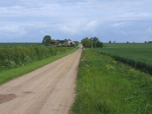
Down Spinney is a small woodland area located in the county of Cambridgeshire in eastern England. Nestled amidst the picturesque countryside, it covers an approximate area of 10 acres. The woodland is characterized by its dense and diverse range of trees, creating a serene and tranquil atmosphere.

The woodland boasts a rich variety of tree species, including oak, beech, birch, and ash, among others. This diversity supports a thriving ecosystem, providing habitats for a range of wildlife. Visitors to Down Spinney may spot various bird species, such as woodpeckers, owls, and thrushes, as well as small mammals like rabbits, squirrels, and hedgehogs.

The forest floor is covered with a lush carpet of mosses, ferns, and wildflowers, adding to the natural beauty of the woodland. Several walking trails meander through the woods, allowing visitors to explore the area and immerse themselves in its tranquility.

Down Spinney is a popular destination for nature enthusiasts, hikers, and families seeking a peaceful retreat from the bustle of urban life. The woodland provides opportunities for activities such as birdwatching, picnicking, and photography. It is also a wonderful spot for nature education, as visitors can learn about the diverse flora and fauna that thrive in this enchanting woodland setting.

Overall, Down Spinney in Cambridgeshire is a captivating woodland that offers a refreshing escape into nature. With its diverse range of trees, abundant wildlife, and scenic walking trails, it is a haven for those seeking solace and a deeper connection with the natural world.

If you have any feedback on the listing, please let us know in the comments section below.
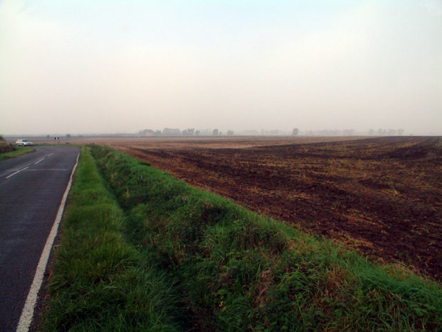
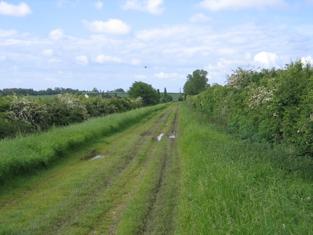
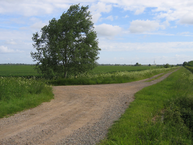
Down Spinney Images

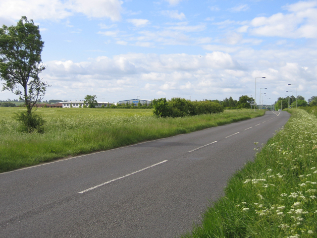
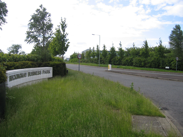
Images are sourced within 2km of 52.273421/-0.019935195 or Grid Reference TL3565. Thanks to Geograph Open Source API. All images are credited.

Boxworth, St Peter <span class="nowrap"><a title="http://www.druidic.org/camchurch/churches/boxworth.htm" rel="nofollow ugc noopener" href="http://www.druidic.org/camchurch/churches/boxworth.htm">Link</a><img style="margin-left:2px;" alt="External link" title="External link - shift click to open in new window" src="https://s1.geograph.org.uk/img/external.png" width="10" height="10"/></span>
Boxworth, St Peter
Rose & Crown Road, CB4 Between Fen Drayton and Boxworth, looking west.
Rose & Crown Road, CB4
Between Fen Drayton and Boxworth, looking west.
Cambridge services Busy services off the busy A14
Cambridge services
Busy services off the busy A14
Utton's Drove, Swavesey, Cambs – view SW towards the A14.
Utton's Drove, Swavesey, Cambs
– view SW towards the A14.
Meeting of bridleways, Swavesey, Cambs Tipplers' Road (left) joining Utton's Drove in the NW corner of the square.
Meeting of bridleways, Swavesey, Cambs
Tipplers' Road (left) joining Utton's Drove in the NW corner of the square.
Tipplers' Road, Swavesey, Cambs – view towards Thorpes Farm.
Tipplers' Road, Swavesey, Cambs
– view towards Thorpes Farm.
Bucking Way Road, Swavesey, Cambs – view SSW towards the A14 road.
Bucking Way Road, Swavesey, Cambs
– view SSW towards the A14 road.
Buckingway Business Park, Swavesey, Cambs entrance from Bucking Way Road.
Buckingway Business Park, Swavesey, Cambs
entrance from Bucking Way Road.
Memorial for Revd Arnold Kirke Smith Rector  of the Parish for 38 years before his death in 1927.
Memorial for Revd Arnold Kirke Smith
Rector of the Parish for 38 years before his death in 1927.
Boxworth
Boxworth
Footpath from Lolworth to Boxworth The footpath is wide and pleasant although there is an audible reminder of the  presence of A14 road less than a mile away.
Footpath from Lolworth to Boxworth
The footpath is wide and pleasant although there is an audible reminder of the presence of A14 road less than a mile away.
Field margin east of Conington With wildlife-friendly unmown grass left round the edge.
Field margin east of Conington
With wildlife-friendly unmown grass left round the edge.
Stubble field with hazy tree I carefully paced out the right point on the footpath, only to discover that due to the ridge in the landscape there is very little to see. So here it is.
Stubble field with hazy tree
I carefully paced out the right point on the footpath, only to discover that due to the ridge in the landscape there is very little to see. So here it is.
Trucks parked on the A14 Seen from the end of the Scotland Drove bridleway
Trucks parked on the A14
Seen from the end of the Scotland Drove bridleway
February Morning
February Morning
Aqua Group offices and facilities A building services provider, large plot and very close to the A14.
Aqua Group offices and facilities
A building services provider, large plot and very close to the A14.
Boxworth End to Fen Drayton The red signs are for guided busway construction traffic.
Boxworth End to Fen Drayton
The red signs are for guided busway construction traffic.
Barley field The area is predominantly arable.
Barley field
The area is predominantly arable.
Show me another place!

Down Spinney is located at Grid Ref: TL3565 (Lat: 52.273421, Lng: -0.019935195)

Administrative County: Cambridgeshire

District: South Cambridgeshire

Police Authority: Cambridgeshire

What 3 Words

///motel.rods.televise. Near Swavesey, Cambridgeshire

Nearby Locations

Down Spinney

Related Wikis

Boxworth

Boxworth is a village in South Cambridgeshire, situated about eight miles to the north-west of Cambridge. It falls under the Papworth Everard and Caxton...

Lolworth

Lolworth is a small village and civil parish in the district of South Cambridgeshire, in the county of Cambridgeshire, England, located approximately 8...

Swavesey Village College

Swavesey Village College is a village college and academy school in the village of Swavesey in south Cambridgeshire, England. In 2011, Swavesey Village...

Fen Drayton

Fen Drayton is a small village between Cambridge and St. Ives in Cambridgeshire, England, and between the villages of Fenstanton and Swavesey. The village...

Swavesey

Swavesey is a village lying on the Prime Meridian in Cambridgeshire, England, with a population of 2,463. The village is situated 9 miles to the north...

Overhall Grove

Overhall Grove is a 17.4-hectare (43-acre) biological Site of Special Scientific Interest to the east of Knapwell in Cambridgeshire. It is a Nature Conservation...

Conington, South Cambridgeshire

Conington (Conington St Mary, or Coningtom-juxta-Cantab) is a small village in the South Cambridgeshire district of Cambridgeshire with about 50 houses...

Knapwell

Knapwell is a hamlet in Cambridgeshire situated about 10 miles (16 km) west of Cambridge. It is within the diocese of Ely. Its population was estimated...

Nearby Amenities

Located within 500m of 52.273421,-0.019935195
Motorway Junction
Swavesey
Ref: 24
Lat/Long: 52.2768345/-0.0211346
Colour: red and white
Marker: aerial
Utility: gas
Lat/Long: 52.2742262/-0.013137
Colour: red and white
Marker: aerial
Utility: gas
Lat/Long: 52.2755293/-0.0135476
Colour: red and white
Marker: aerial
Utility: gas
Lat/Long: 52.2774416/-0.0188495
Colour: red and white
Marker: aerial
Utility: gas
Lat/Long: 52.2698237/-0.0165455
Colour: red and white
Marker: aerial
Utility: gas
Lat/Long: 52.2698968/-0.0166114
Colour: red and white
Marker: aerial
Utility: gas
Lat/Long: 52.2740632/-0.0220506
Colour: red and white
Marker: aerial
Utility: gas
Lat/Long: 52.2751761/-0.0204435
Colour: red and white
Marker: aerial
Utility: gas
Lat/Long: 52.2728501/-0.0211149
Colour: red and white
Marker: aerial
Utility: gas
Lat/Long: 52.2711052/-0.0240274
Colour: red and white
Marker: aerial
Utility: gas
Lat/Long: 52.2757949/-0.0207556
The data included in this document is from www.openstreetmap.org. The data is made available under ODbL.

Have you been to Down Spinney?

Leave your review of Down Spinney below (or comments, questions and feedback).