Barn Holt

Wood, Forest in Lincolnshire East Lindsey

England

Barn Holt

Access road
Access road Credit: Alex McGregor

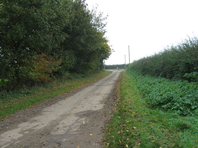
Barn Holt, located in Lincolnshire, is a picturesque wood and forest area renowned for its natural beauty and tranquility. This enchanting destination is often frequented by nature enthusiasts, hikers, and those seeking a peaceful retreat from the bustling city life.

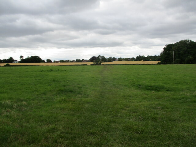
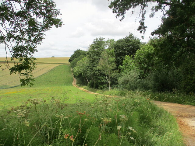
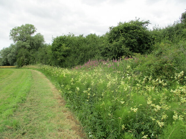
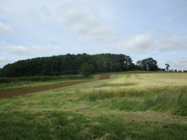
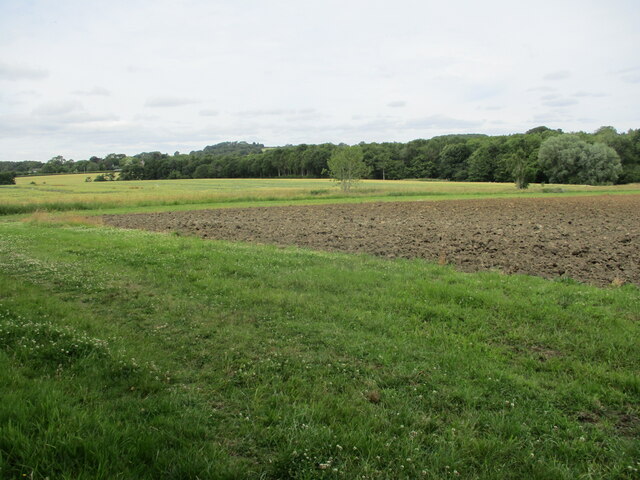
Covering a vast expanse, Barn Holt is home to an array of diverse flora and fauna, making it an ideal spot for wildlife observation. The forest is dominated by a mixture of deciduous and coniferous trees, creating a lush and vibrant environment. Visitors can expect to encounter majestic oak, beech, and pine trees, providing a stunning backdrop for leisurely walks or picnics.

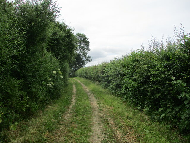
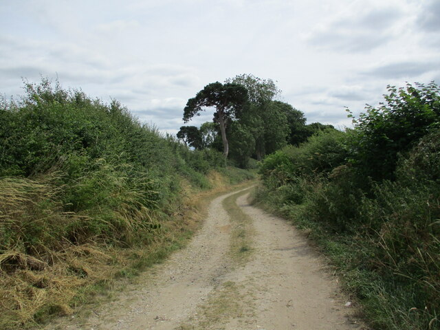
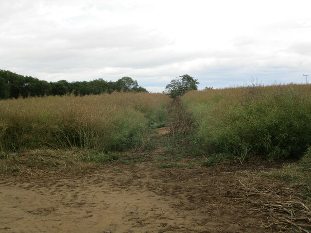
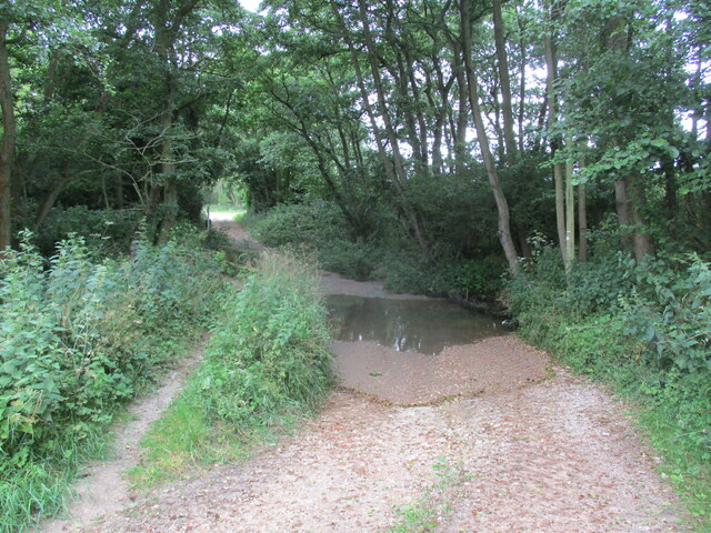
The forest is crisscrossed with well-maintained trails, offering ample opportunities for exploration. As visitors venture deeper into the woods, they may stumble upon hidden ponds, bubbling streams, and even small waterfalls, adding to the area's charm. Birdwatchers will delight in spotting various species, including woodpeckers, owls, and songbirds.

Barn Holt provides an excellent habitat for wildlife, with deer, foxes, and rabbits among the many creatures that call this forest home. It is not uncommon to catch a glimpse of a hare darting through the undergrowth or a squirrel scampering up a tree.

The area is also renowned for its historical significance, with remnants of old settlements scattered throughout Barn Holt. Ancient ruins and archaeological sites offer a glimpse into the area's past, adding an element of intrigue for history enthusiasts.

In summary, Barn Holt in Lincolnshire is a captivating wood and forest destination, offering visitors a chance to reconnect with nature while immersing themselves in the region's rich history and diverse wildlife.

If you have any feedback on the listing, please let us know in the comments section below.
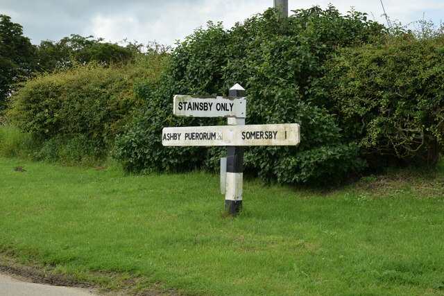
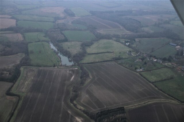
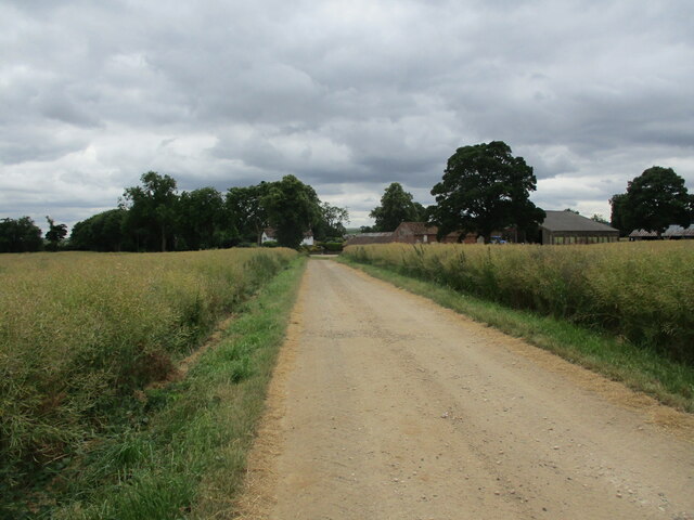
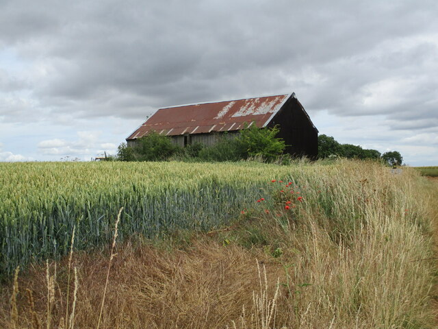
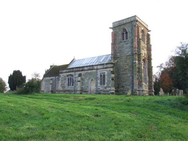
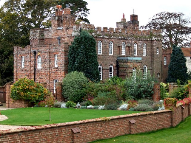
Barn Holt Images

Images are sourced within 2km of 53.225796/0.02259039 or Grid Reference TF3571. Thanks to Geograph Open Source API. All images are credited.

Access road
Access road
Footpath across a grass field, Thornbury Hill
Direction Sign – Signpost at the north end of Bag Enderby Located on the north side of a T junction at the north end of Bag Enderby in Greetham with Somersby parish. 3 arms and no finial. See also <a title="https://www.geograph.org.uk/photo/5747037" href="https://www.geograph.org.uk/photo/5747037">Link</a>.

Milestone Society National ID: LI_TF3572
Direction Sign – Signpost at the north end of Bag Enderby
Located on the north side of a T junction at the north end of Bag Enderby in Greetham with Somersby parish. 3 arms and no finial. See also Link. Milestone Society National ID: LI_TF3572
Direction Sign – Signpost on Bridge Road, Somersby Located on the south side of the T junction on Bridge Road in Somersby, Greetham with Somersby parish. 3 arms and no finial. See also <a title="https://www.geograph.org.uk/photo/6680557" href="https://www.geograph.org.uk/photo/6680557">Link</a>.

Milestone Society National ID: LI_TF3472
Direction Sign – Signpost on Bridge Road, Somersby
Located on the south side of the T junction on Bridge Road in Somersby, Greetham with Somersby parish. 3 arms and no finial. See also Link. Milestone Society National ID: LI_TF3472
Direction Sign – Signpost near Stainsby House in Greetham with Somersby parish Located on the northwest side of T junction northwest of Stainsby House in Greetham with Somersby parish. 3 arms and no finial. See also <a title="https://www.geograph.org.uk/photo/6038852" href="https://www.geograph.org.uk/photo/6038852">Link</a>.

Milestone Society National ID: LI_TF3371
Direction Sign – Signpost near Stainsby House in Greetham with Somersby parish
Located on the northwest side of T junction northwest of Stainsby House in Greetham with Somersby parish. 3 arms and no finial. See also Link. Milestone Society National ID: LI_TF3371
Somersby: aerial 2022
Bridleway approaching Somersby Looking towards Somersby House Farm.
Bridleway approaching Somersby
Looking towards Somersby House Farm.
Shed at Wardenhill Farm
Bridleway alongside Fox Covert
Meadowsweet alongside a bridleway near Brinkhill
Bridleway to Bag Enderby
Wheat field and New Covert
Bridleway to Thornbury Hill A well used farm track.
Bridleway to Thornbury Hill
A well used farm track.
Ploughed field and woodland near Bag Enderby
St. Mary's church, Harrington Largely rebuilt by S.S. Teulon <span class="nowrap"><a title="https://en.wikipedia.org/wiki/Samuel_Sanders_Teulon" rel="nofollow ugc noopener" href="https://en.wikipedia.org/wiki/Samuel_Sanders_Teulon">Link</a><img style="margin-left:2px;" alt="External link" title="External link - shift click to open in new window" src="https://s1.geograph.org.uk/img/external.png" width="10" height="10"/></span> in 1854-5 <span class="nowrap"><a title="https://historicengland.org.uk/listing/the-list/list-entry/1063676?section=official-list-entry" rel="nofollow ugc noopener" href="https://historicengland.org.uk/listing/the-list/list-entry/1063676?section=official-list-entry">Link</a><img style="margin-left:2px;" alt="External link" title="External link - shift click to open in new window" src="https://s1.geograph.org.uk/img/external.png" width="10" height="10"/></span>
St. Mary's church, Harrington
Largely rebuilt by S.S. Teulon LinkExternal link in 1854-5 LinkExternal link
Wheat field near Harrington
Footpath through a field of oilseed rape, Thoirnbury Hill Keeping footpaths clear through oilseed rape requires some effort as the plants usually collapse across the path.
Footpath through a field of oilseed rape, Thoirnbury Hill
Keeping footpaths clear through oilseed rape requires some effort as the plants usually collapse across the path.
Ford and a tributary of the River Lymm
Show me another place!

Barn Holt is located at Grid Ref: TF3571 (Lat: 53.225796, Lng: 0.02259039)

Administrative County: Lincolnshire

District: East Lindsey

Police Authority: Lincolnshire

What 3 Words

///thumps.samplers.crash. Near Burwell, Lincolnshire
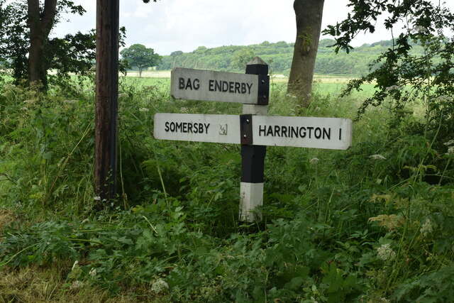
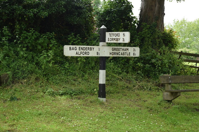
Nearby Locations

Fairy Wood Barn Holt

Related Wikis

Bag Enderby

Bag Enderby is a village and former civil parish, now in the parish of Greetham with Somersby, in the East Lindsey district of Lincolnshire, England. It...

Somersby Grange

Somersby Grange is a Grade I listed Georgian country house in Somersby, Lincolnshire.The house was built in 1722 for Robert Burton, the local lord of the...

Somersby, Lincolnshire

Somersby is a village in the civil parish of Greetham with Somersby, in the East Lindsey district of Lincolnshire, England. It is situated 6 miles (9.7...

Harrington, Lincolnshire

Harrington is a hamlet and civil parish in the East Lindsey district of Lincolnshire, England. It is situated 6 miles (10 km) south-west from Alford, and...

Thornbury Hill

Thornbury Hill is a hill in Hagworthingham, Lincolnshire, England.

Ashby Puerorum

Ashby Puerorum is a small village and former civil parish, now in the parish of Greetham with Somersby, in the East Lindsey district of Lincolnshire, England...

Greetham with Somersby

Greetham with Somersby is a civil parish in the East Lindsey district of Lincolnshire, England. It is situated approximately 3 miles (5 km) north-east...

Hagworthingham

Hagworthingham is a village and civil parish in the East Lindsey district of Lincolnshire, England. It is on the A158, 5 miles (8 km) east of Horncastle...

Nearby Amenities

Located within 500m of 53.225796,0.02259039
Bag Enderby
Is In: Lincolnshire, England, UK
Old Name: Bagg Enderby
Place: hamlet
Source: Bing
Wikidata: Q4841365
Lat/Long: 53.2290638/0.0201129
Old Tree
Naptan AtcoCode: 270000010493
Naptan Bearing: NW
Naptan BusStopType: CUS
Naptan CommonName: Old Tree
Naptan Indicator: adj
Naptan Landmark: Old Tree
Naptan NaptanCode: linjmtwa
Naptan Street: Main Street
Naptan Verified: no
Source: naptan_import
Lat/Long: 53.2298982/0.0197786
Power: pole
Lat/Long: 53.2289697/0.0189548
Power: pole
Lat/Long: 53.2295305/0.0186964
Hall Farm
Place: farm
Source: Bing
Lat/Long: 53.227556/0.0209583
Post Box
Collection Times: Mo-Fr 10:15; Sa 10:15
Operator: Royal Mail
Post Box Design: hovis
Post Box Type: lamp
Ref: PE23 107
Royal Cypher: EVIIR
Royal Cypher Wikidata: Q33102324
Lat/Long: 53.2287913/0.0194787
Historic Natural: tree
Source: Bing
Lat/Long: 53.2277094/0.0263338
The data included in this document is from www.openstreetmap.org. The data is made available under ODbL.

Have you been to Barn Holt?

Leave your review of Barn Holt below (or comments, questions and feedback).