Honeyhill Wood

Wood, Forest in Cambridgeshire South Cambridgeshire

England

Honeyhill Wood

Scotland Farm entrance Looking west from Scotland Road, Dry Drayton. Time about 5pm.
Scotland Farm entrance Credit: Jeff Bronks

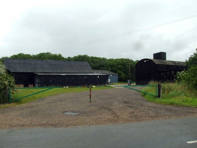
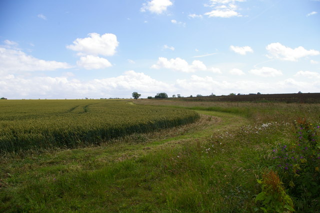
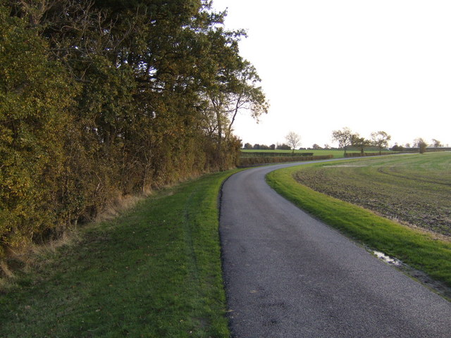
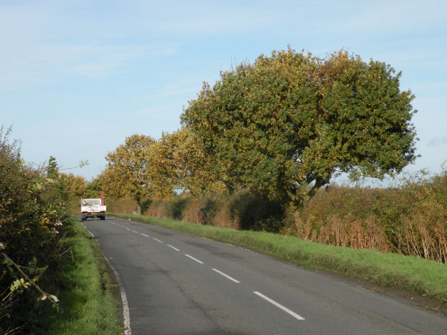
Honeyhill Wood is a charming forest located in Cambridgeshire, England. Spanning over a vast area of land, this wood is a popular destination for nature enthusiasts and hikers alike. The wood is situated near the village of Longstanton, providing easy access for visitors from nearby towns and cities.

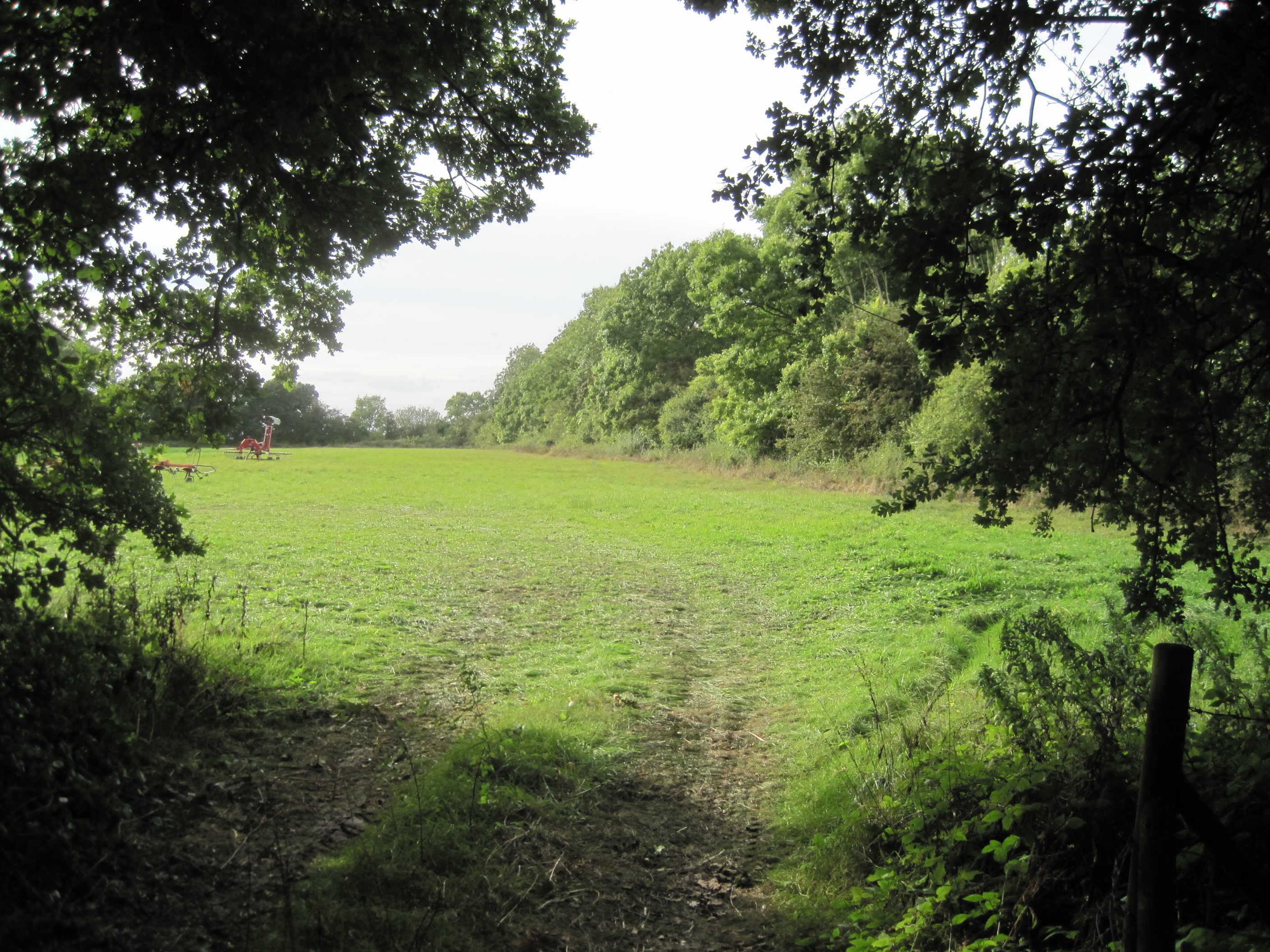
Honeyhill Wood is predominantly composed of deciduous trees, such as oak, ash, and beech, which create a picturesque landscape throughout the year. The changing seasons offer a unique experience, from the vibrant green foliage in spring and summer to the stunning colors of autumn. The wood is also home to a variety of wildlife, including deer, squirrels, and a plethora of bird species, making it a haven for birdwatchers.

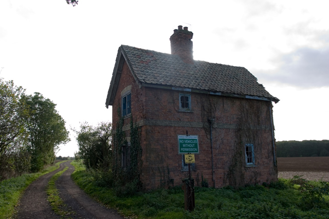
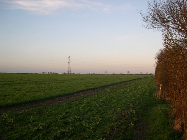
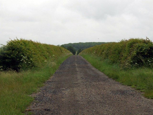
The wood features several well-maintained footpaths that allow visitors to explore its natural beauty at their own pace. These paths wind through the dense woodland, providing opportunities to discover hidden clearings, tranquil streams, and beautiful wildflowers. Additionally, there are picnic spots scattered throughout the wood, offering visitors a chance to relax and enjoy the serene surroundings.

Honeyhill Wood is not only a place of natural beauty but also holds historical significance. It is believed to have been a part of the ancient hunting grounds of the Kings of England. As such, the wood is dotted with remnants of ancient earthworks and ditches, adding an element of intrigue to its charm.

Overall, Honeyhill Wood in Cambridgeshire is a captivating destination for those seeking solace in nature. Its diverse flora and fauna, well-marked trails, and historical significance make it a true gem for outdoor enthusiasts and history buffs alike.

If you have any feedback on the listing, please let us know in the comments section below.

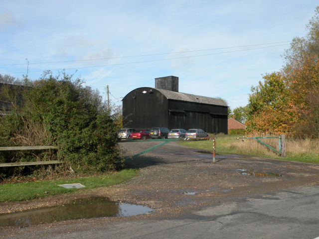
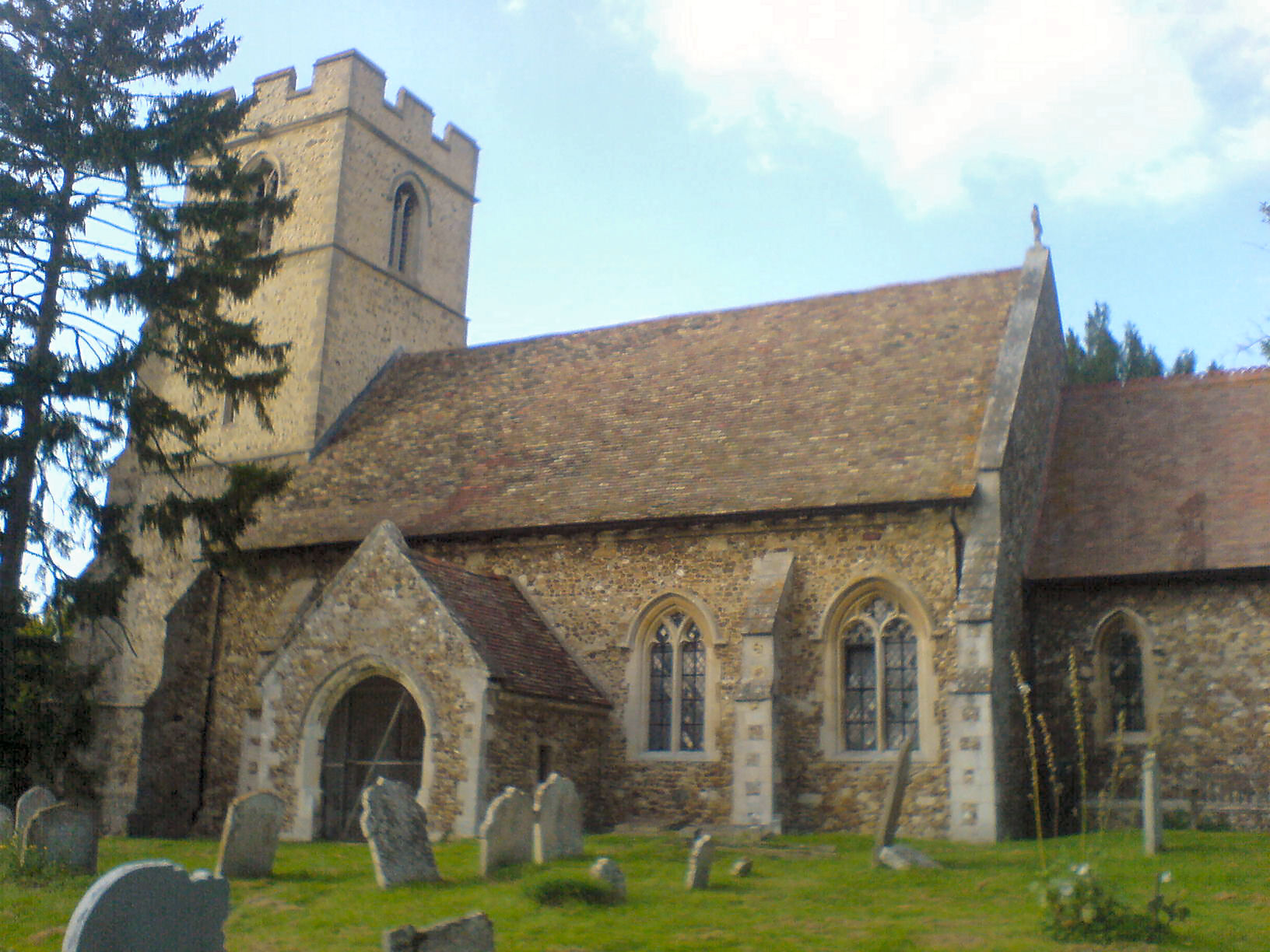
Honeyhill Wood Images

Images are sourced within 2km of 52.226981/-0.023232193 or Grid Reference TL3560. Thanks to Geograph Open Source API. All images are credited.

Scotland Farm entrance Looking west from Scotland Road, Dry Drayton. Time about 5pm.
Scotland Farm entrance
Looking west from Scotland Road, Dry Drayton. Time about 5pm.
Power line north of Childerley Hall Probably the most interesting feature of this square! Cambridgeshire certainly has its fair share of flat cornfields.
Power line north of Childerley Hall
Probably the most interesting feature of this square! Cambridgeshire certainly has its fair share of flat cornfields.
The chapel at Childerley Hall A private chapel, but opened for Christmas and Harvest Festival services, apparently. The rest of the hall looks interesting, but not much is visible without trespassing.
The chapel at Childerley Hall
A private chapel, but opened for Christmas and Harvest Festival services, apparently. The rest of the hall looks interesting, but not much is visible without trespassing.
LPG store, Childerley Hall farm Formerly a grain store (note the stilts designed to raise it away from the rats), this building now holds more explosive contents.
LPG store, Childerley Hall farm
Formerly a grain store (note the stilts designed to raise it away from the rats), this building now holds more explosive contents.
Derelict building at Battle Gate This is at the end of the southern road out of Boxworth which can be driven down, but not beyond this point. The surrounding fields are on one of the highest parts of the clay 'uplands' (nearby spot height is 67m) which form the southern border of the Fens.
Derelict building at Battle Gate
This is at the end of the southern road out of Boxworth which can be driven down, but not beyond this point. The surrounding fields are on one of the highest parts of the clay 'uplands' (nearby spot height is 67m) which form the southern border of the Fens.
Line of the Greenwich Meridian The Greenwich Meridian intersects the bend in the footpath marked by the yellow tipped sign and passes directly under the central electricity pylon. This view is true north (and not grid north!).
Line of the Greenwich Meridian
The Greenwich Meridian intersects the bend in the footpath marked by the yellow tipped sign and passes directly under the central electricity pylon. This view is true north (and not grid north!).
Courses for horses Horse jumping practice ring at Bird's Pastures Farm, near Knapwell. The surface of the practice ring is made from chopped up car tyres. Very green.
Courses for horses
Horse jumping practice ring at Bird's Pastures Farm, near Knapwell. The surface of the practice ring is made from chopped up car tyres. Very green.
Track to New Farm
Track to New Farm
Farm buildings at Wood farm
Farmland The edge of a wheat (I think) field near Bird's Pastures Farm.
Farmland
The edge of a wheat (I think) field near Bird's Pastures Farm.
Old orchard near Childerley This small stand of old apple trees sits central to the grid square by the road to Childerley Hall.
Old orchard near Childerley
This small stand of old apple trees sits central to the grid square by the road to Childerley Hall.
Road to Childerley Gate A ploughed field beside a well-maintained estate road.
Road to Childerley Gate
A ploughed field beside a well-maintained estate road.
Tree-lined road to Knapwell
Trees and a field A crop which I assume to be winter wheat is just sprouting
Trees and a field
A crop which I assume to be winter wheat is just sprouting
Follow the arrows to Knapwell Wood Farm Knapwell Wood Farm is the name on the sign, rather than the Wood Farm of the 1:50000 map.
Follow the arrows to Knapwell Wood Farm
Knapwell Wood Farm is the name on the sign, rather than the Wood Farm of the 1:50000 map.
Footpath at Knapwell Wood Farm That's it by the hedgerow, not this muddy field!
Footpath at Knapwell Wood Farm
That's it by the hedgerow, not this muddy field!
Entrance to Knapwell Wood Farm
Barn at Knapwell Wood Farm
Show me another place!

Honeyhill Wood is located at Grid Ref: TL3560 (Lat: 52.226981, Lng: -0.023232193)

Administrative County: Cambridgeshire

District: South Cambridgeshire

Police Authority: Cambridgeshire

What 3 Words

///amounting.cove.swelling. Near Cambourne, Cambridgeshire

Related Wikis

Childerley

Childerley, also known as Great Childerley and Little Childerly, was a small rural village in the county of Cambridgeshire in the East of England, United...

RAF Bourn

Royal Air Force Bourn or more simply RAF Bourn is a former Royal Air Force station located 2 miles (3.2 km) north of Bourn, Cambridgeshire and 6.9 miles...

Bourn Airfield

Bourn Airport (IATA: n/a, ICAO: EGSN) is located 7 NM (13 km; 8.1 mi) west of Cambridge, Cambridgeshire, England. The airfield was originally constructed...

Overhall Grove

Overhall Grove is a 17.4-hectare (43-acre) biological Site of Special Scientific Interest to the east of Knapwell in Cambridgeshire. It is a Nature Conservation...

Caldecote Meadows

Caldecote Meadows is a 9.1-hectare (22-acre) biological Site of Special Scientific Interest in Caldecote in Cambridgeshire.The site is herb-rich calcareous...

Hardwick, Cambridgeshire

Hardwick is a village and civil parish in the county of Cambridgeshire, England with a large housing estate located about 6 miles (9.7 km) west of the...

Cambourne Church

Cambourne Church is a "local ecumenical partnership" between the Church of England, Baptist Union of Great Britain, Methodist Church of Great Britain and...

Caldecote, South Cambridgeshire

Caldecote is a village and civil parish in Cambridgeshire, in the district of South Cambridgeshire, England. It lies south of the A428, approximately six...

Nearby Amenities

Located within 500m of 52.226981,-0.023232193
The data included in this document is from www.openstreetmap.org. The data is made available under ODbL.

Have you been to Honeyhill Wood?

Leave your review of Honeyhill Wood below (or comments, questions and feedback).