Ash Holt
Wood, Forest in Lincolnshire East Lindsey
England
Ash Holt

Ash Holt is a quaint village located in the county of Lincolnshire, England. Situated amidst the serene countryside, it is known for its beautiful woodlands and forests, which lend the village its name. Nestled in the heart of the East Lindsey district, Ash Holt is an idyllic retreat for nature lovers and those seeking a peaceful escape from the hustle and bustle of city life.
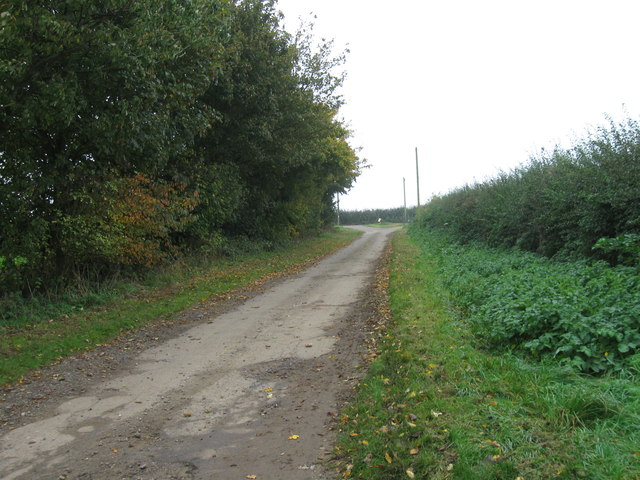
The village is surrounded by lush greenery, with dense woodlands stretching as far as the eye can see. These forests offer a haven for a diverse range of flora and fauna, making Ash Holt a popular destination for wildlife enthusiasts. Walking trails wind their way through the woods, allowing visitors to explore the area's natural beauty at their own pace.
Despite its rural setting, Ash Holt is not far from essential amenities. The nearby town of Horncastle provides residents with access to schools, shops, and medical facilities. Additionally, the village is well-connected to other parts of Lincolnshire via a network of roads, making it easily accessible by car.
Ash Holt's charm lies in its simplicity and tranquility. The village exudes a sense of community spirit, with its residents often organizing local events and activities. The surrounding woodlands also provide opportunities for recreational activities such as picnicking, hiking, and birdwatching.
In conclusion, Ash Holt in Lincolnshire is a picturesque village enveloped by enchanting woodlands. It offers a peaceful haven for residents and visitors alike, with its natural beauty and sense of community making it a truly special place.
If you have any feedback on the listing, please let us know in the comments section below.
Ash Holt Images
Images are sourced within 2km of 53.193268/0.016762448 or Grid Reference TF3468. Thanks to Geograph Open Source API. All images are credited.


Ash Holt is located at Grid Ref: TF3468 (Lat: 53.193268, Lng: 0.016762448)
Administrative County: Lincolnshire
District: East Lindsey
Police Authority: Lincolnshire
What 3 Words
///caressing.risking.courier. Near Spilsby, Lincolnshire
Nearby Locations
Related Wikis

Lusby, Lincolnshire
Lusby is a village and former civil parish, now in the parish of Lusby with Winceby, in the East Lindsey district of Lincolnshire, England. It is situated...

Hagworthingham
Hagworthingham is a village and civil parish in the East Lindsey district of Lincolnshire, England. It is on the A158, 5 miles (8 km) east of Horncastle...

Snipe Dales
Snipe Dales is a country park and nature reserve in the Lincolnshire Wolds near Hagworthingham in Lincolnshire, England. The reserve is one of the few...

Thornbury Hill
Thornbury Hill is a hill in Hagworthingham, Lincolnshire, England.

Mavis Enderby
Mavis Enderby is a hamlet and civil parish in the East Lindsey district of Lincolnshire, England. It lies in the Lincolnshire Wolds, 4.5 miles (7 km) east...

Raithby by Spilsby
Raithby by Spilsby or Raithby is a village and civil parish in the East Lindsey district of Lincolnshire, England. It is situated about 2 miles (3.2 km...

Hareby
Hareby is a small village and former civil parish, now in the parish of Bolingbroke, in the East Lindsey district of Lincolnshire, England. It is situated...
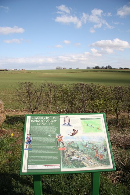
Winceby
Winceby is a village in the civil parish of Lusby with Winceby, in the East Lindsey district of Lincolnshire, England. It is in the Lincolnshire Wolds...
Related Videos
Country Mouse Walks - Snipe Dales Country Park Uncut
Country Mouse Walks - Snipe Dales Country Park Uncut Snipe Dales is a country park and nature reserve in the Lincolnshire ...

How to Avoid a Haunting While Camping!
Joe explains that ghosts have to do their thing but they better not be doing a haunting tonight! See the full video where Joe ...

ATM: ROAD FLOODING TOWARDS SPILSBY FROM SKEGNESS, THIS IS NORTH FIELD ROAD, SPILBY, LICOLNSHIRE
uk #shortvideo #travel #stormbabet.

Snipe Dales Country Park And Nature Reserve | ಸ್ನಯ್ಪ್ ಡೇಲ್ ಉದ್ಯಾನದಲ್ಲಿ ನದಿಗಳ ಉಗಮ | Kannada Vlogs UK
vgavlogs #vgarandom , #vgakannada , #Lincolnshire, #Britain, #ಬ್ರಿಟನ್ ನಿಮಗೆ ಈ ವಿಡಿಯೋ ಇಷ್ಟವಾದರೆ ...
Nearby Amenities
Located within 500m of 53.193268,0.016762448Have you been to Ash Holt?
Leave your review of Ash Holt below (or comments, questions and feedback).