Ardingly Croft Wood
Wood, Forest in Sussex Mid Sussex
England
Ardingly Croft Wood
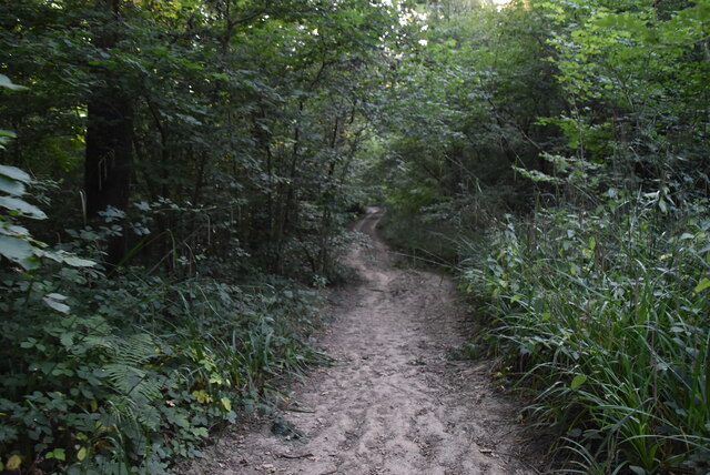
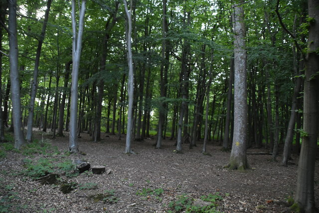
Ardingly Croft Wood is a picturesque woodland located in the county of Sussex, England. Spanning over an area of approximately 50 acres, this enchanting forest is known for its diverse flora and fauna, making it a haven for nature enthusiasts and wildlife lovers alike.
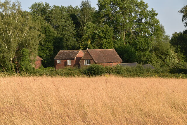
The wood features a mix of ancient and newly planted trees, including oak, birch, and beech, which create a captivating canopy overhead. The forest floor is adorned with a rich carpet of wildflowers, such as bluebells and primroses, adding a vibrant burst of color to the surroundings during springtime.
As visitors explore Ardingly Croft Wood, they may encounter a variety of wildlife species that call this woodland home. The wood provides a habitat for a range of bird species, including woodpeckers and nightingales, whose melodious songs can be heard echoing through the trees. Squirrels can often be spotted scampering among the branches, while foxes and deer are occasionally glimpsed among the undergrowth.
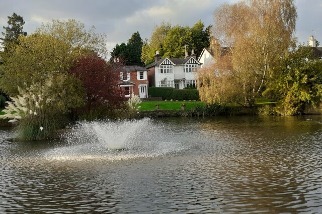
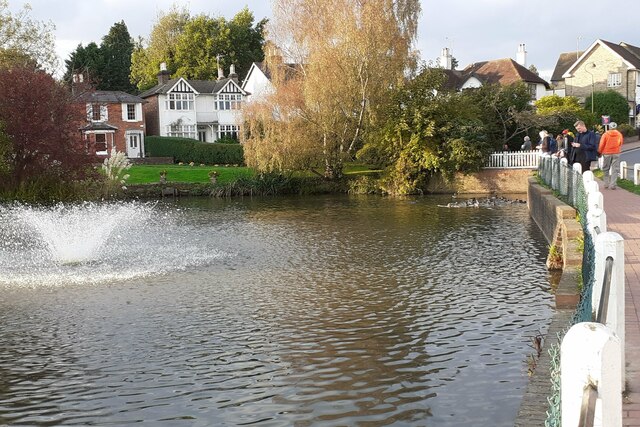
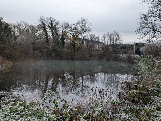
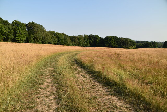
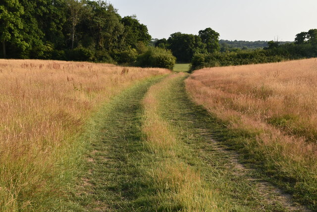
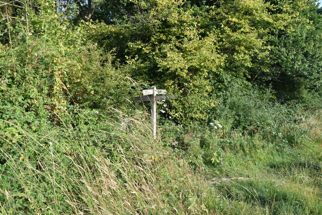
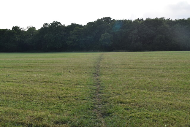
The wood offers several well-maintained trails and pathways, allowing visitors to explore its beauty at their own pace. These paths wind through the lush vegetation, offering glimpses of picturesque ponds and babbling brooks along the way. The tranquil atmosphere and peaceful ambiance make Ardingly Croft Wood an ideal spot for hiking, picnicking, or simply immersing oneself in the serenity of nature.
Overall, Ardingly Croft Wood is a captivating woodland retreat that showcases the natural beauty and biodiversity of Sussex. Its stunning landscapes, abundant wildlife, and well-maintained trails make it a must-visit destination for those seeking solace in the great outdoors.
If you have any feedback on the listing, please let us know in the comments section below.
Ardingly Croft Wood Images
Images are sourced within 2km of 51.028573/-0.078987555 or Grid Reference TQ3427. Thanks to Geograph Open Source API. All images are credited.


Ardingly Croft Wood is located at Grid Ref: TQ3427 (Lat: 51.028573, Lng: -0.078987555)
Administrative County: West Sussex
District: Mid Sussex
Police Authority: Sussex
What 3 Words
///appraised.twins.throats. Near Ardingly, West Sussex
Nearby Locations
Related Wikis

Ardingly railway station
Ardingly was a railway station which served the West Sussex village of Ardingly in England. It was opened on 3 September 1883 by the London, Brighton and...

All Saints Church, Lindfield
All Saints Church, Lindfield is a Grade II* listed Church of England church in Lindfield, West Sussex, England, built in the Middle Ages in the Early English...
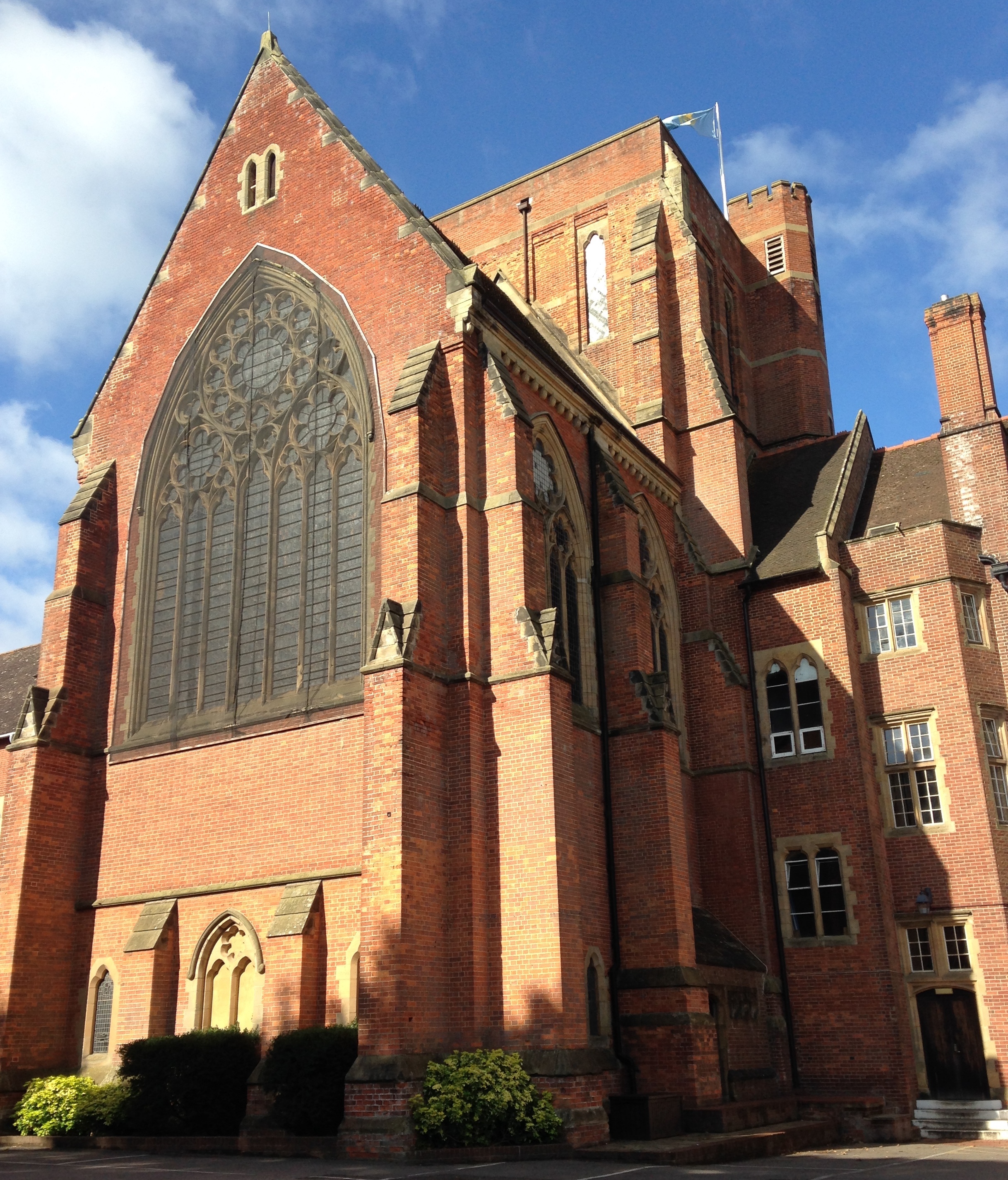
Ardingly College Chapel
The Chapel of S. Saviour is the chapel to Ardingly College in West Sussex, England, and is considered an example of Gothic Revival architecture. The chapel...

Ardingly College
Ardingly College () is a fee-charging boarding and day school in the English public school tradition located near Ardingly, West Sussex, England. The school...

Forest Way
The Forest Way is a linear Country park providing walking, cycling, horse riding and the quiet enjoyment of the countryside. It runs for around 16 km...

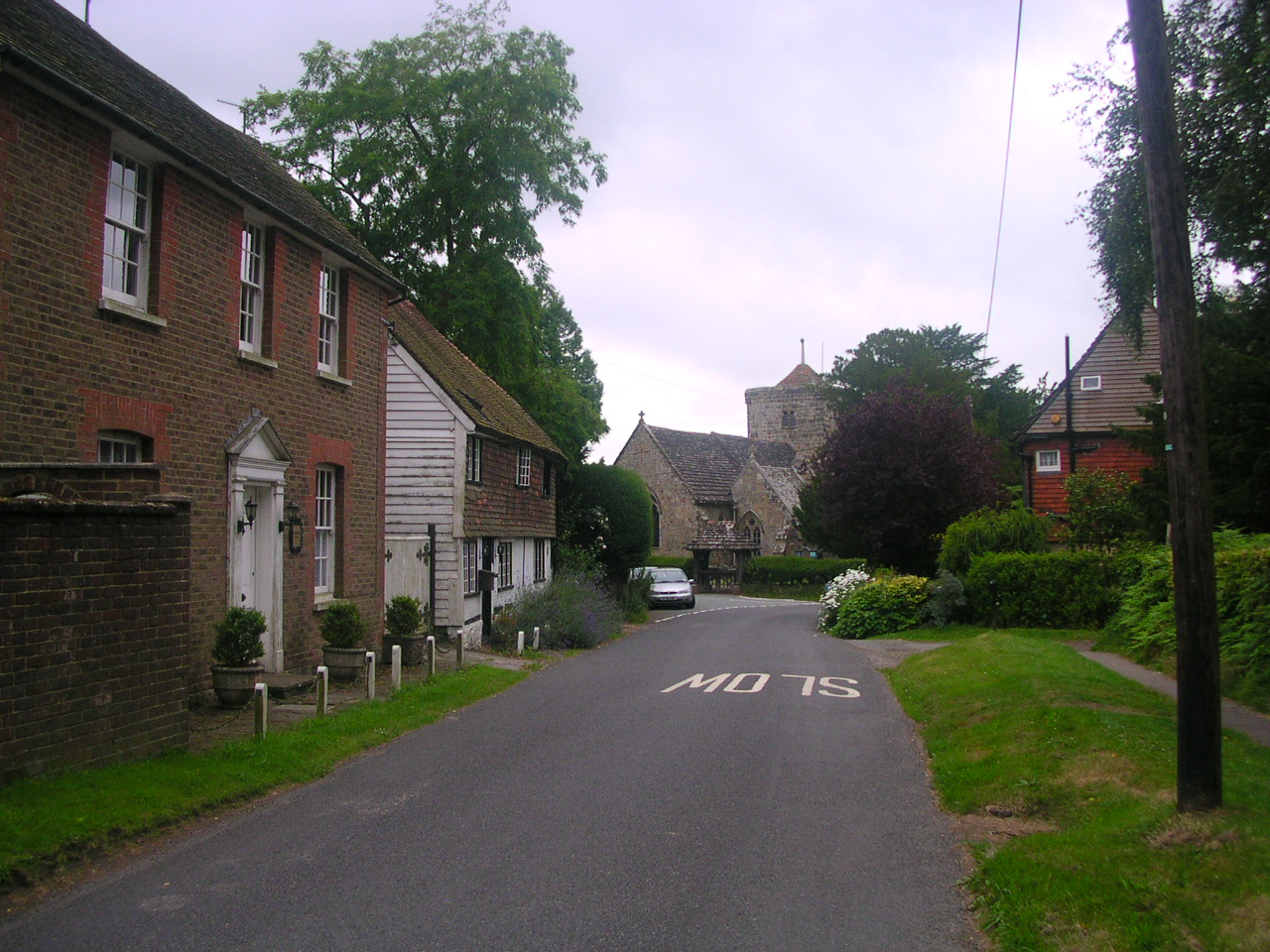
Lindfield, West Sussex
Lindfield is a village and civil parish in the Mid Sussex District of West Sussex, England. The parish lies 1 mile (2 km) to the north-east of Haywards...

Eastern Road Nature Reserve
Eastern Road Nature Reserve is a 3.5-hectare (8.6-acre) Local Nature Reserve on the eastern outskirts of Haywards Heath in West Sussex. It is owned and...
Ardingly
Ardingly ( AR-ding-lye) is an English village and civil parish in the Mid Sussex district of West Sussex, England. The village is in the High Weald Area...
Nearby Amenities
Located within 500m of 51.028573,-0.078987555Have you been to Ardingly Croft Wood?
Leave your review of Ardingly Croft Wood below (or comments, questions and feedback).