Spring Wood
Wood, Forest in Sussex Mid Sussex
England
Spring Wood
Spring Wood is a picturesque forest located in Sussex, England. Covering an area of approximately 100 hectares, this wood is known for its vibrant and diverse flora and fauna. The forest is predominantly comprised of deciduous trees, including oak, beech, and birch, which create a lush green canopy during the spring and summer months.
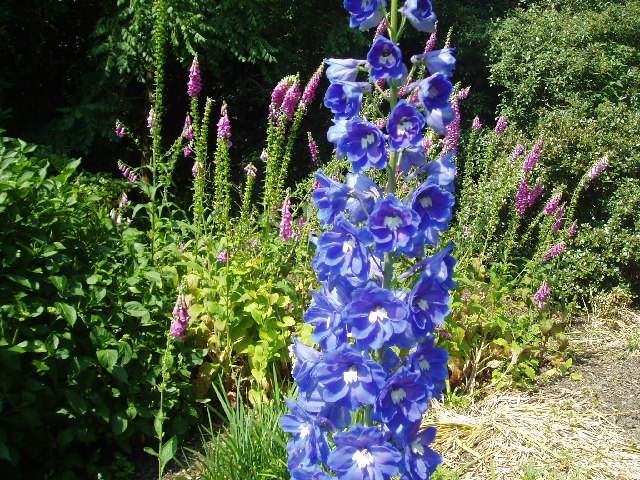
One of the striking features of Spring Wood is its abundance of bluebells that blanket the forest floor in a stunning display of colors during the springtime. Visitors are often captivated by the enchanting sight and delicate fragrance these flowers offer. The wood also boasts a variety of other wildflowers, such as primroses, violets, and wood anemones, adding to its natural beauty.
The forest is home to a rich array of wildlife. Birdwatchers can observe species like robins, woodpeckers, and warblers, while nature enthusiasts may catch glimpses of foxes, badgers, and deer. The wood provides a haven for these creatures, offering shelter, food, and protection.
Spring Wood is a popular destination for nature lovers and avid hikers. The forest features well-maintained footpaths and trails that wind through its scenic landscape, allowing visitors to explore its wonders at their own pace. Along the way, there are designated picnic areas and benches where visitors can rest and enjoy the tranquility of the surroundings.
Managed by the local conservation authorities, Spring Wood is a cherished natural treasure, providing a haven for both wildlife and visitors alike. Its beauty and diversity make it a must-visit location for those seeking a peaceful and immersive experience in the heart of Sussex's natural landscape.
If you have any feedback on the listing, please let us know in the comments section below.
Spring Wood Images
Images are sourced within 2km of 51.102059/-0.076914182 or Grid Reference TQ3435. Thanks to Geograph Open Source API. All images are credited.


Spring Wood is located at Grid Ref: TQ3435 (Lat: 51.102059, Lng: -0.076914182)
Administrative County: West Sussex
District: Mid Sussex
Police Authority: Sussex
What 3 Words
///producers.dress.hotspot. Near Crawley Down, West Sussex
Nearby Locations
Related Wikis

Turners Hill
Turners Hill is a village and civil parish in the Mid Sussex District of West Sussex, England. The civil parish covers an area of 1,390 hectares (3,400...
Turners Hill SSSI
Turners Hill SSSI is a 0.2-hectare (0.49-acre) geological Site of Special Scientific Interest in Turners Hill in West Sussex. It is a Geological Conservation...

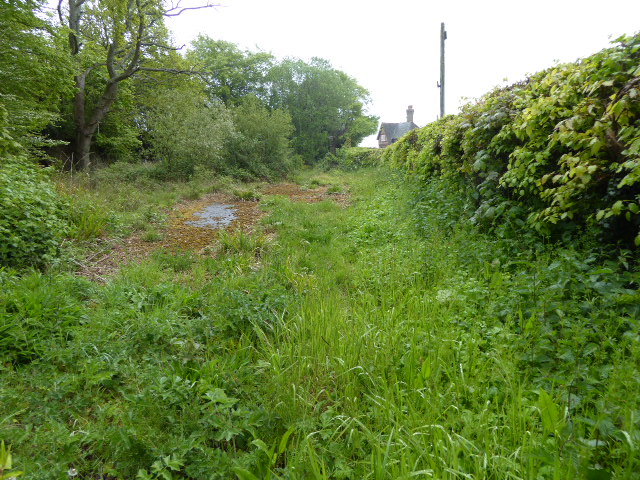
Worth Way
The Worth Way is a 7-mile (11 km) footpath and bridleway linking the West Sussex towns of Crawley and East Grinstead via the village of Crawley Down. Mostly...
Tulleys Farm
Tulleys Farm is a fourth-generation family farm, located in West Sussex. Originating in 1937, the farming business at Tulleys was founded by Bernard Beare...

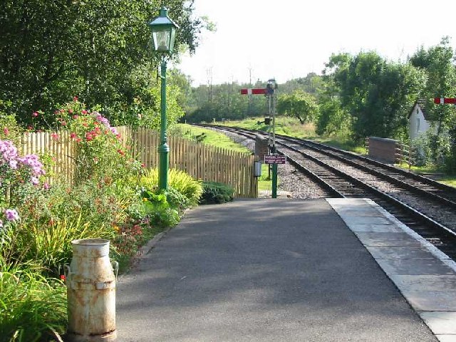
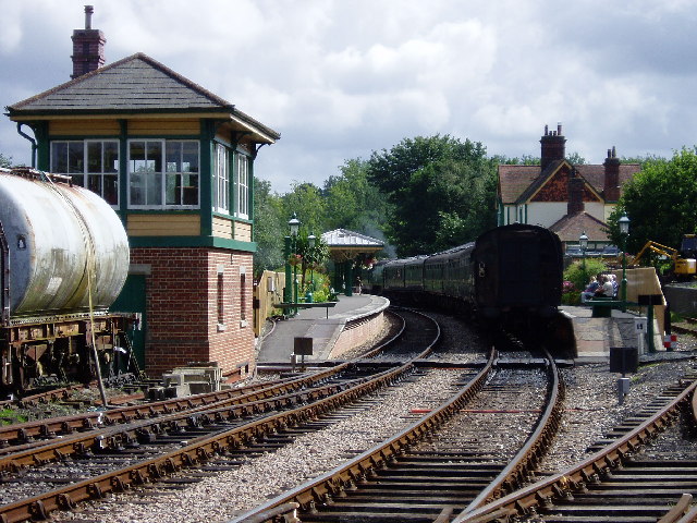
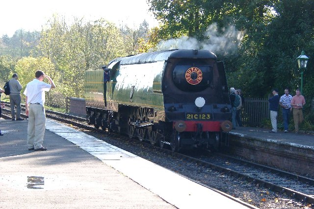
Kingscote railway station
Kingscote railway station is a preserved railway station on the heritage Bluebell Railway, located in West Sussex, England. == History == The station was...

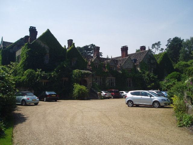
Gravetye Manor
Gravetye Manor is a manor house located near East Grinstead, West Sussex, England. The former home of landscape gardener William Robinson, it is now a...

Grange Road railway station
Grange Road was a railway station on the Three Bridges to Tunbridge Wells Central Line. The station opened in 1860 and was rebuilt on an enlarged scale...
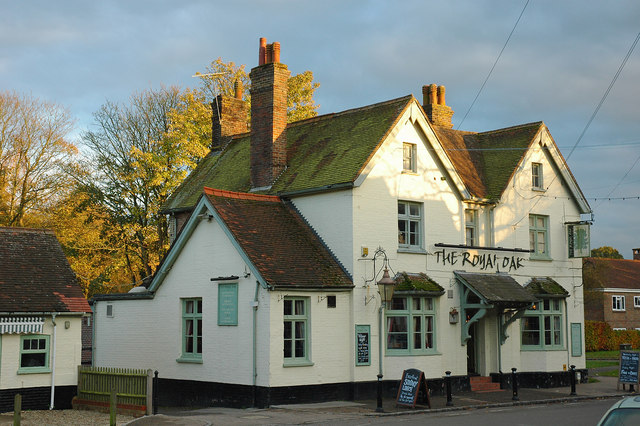
Crawley Down
Crawley Down is a village in the Mid Sussex district of West Sussex, England. There is one church, one school, and a number of social groups. It lies...
Nearby Amenities
Located within 500m of 51.102059,-0.076914182Have you been to Spring Wood?
Leave your review of Spring Wood below (or comments, questions and feedback).