Lord's Wood

Wood, Forest in Hertfordshire East Hertfordshire

England

Lord's Wood

Tonwell Water Tower
Tonwell Water Tower Credit: Jim Osley

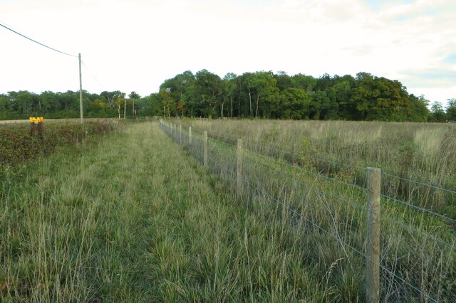
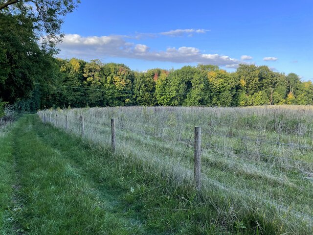
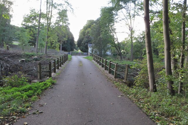
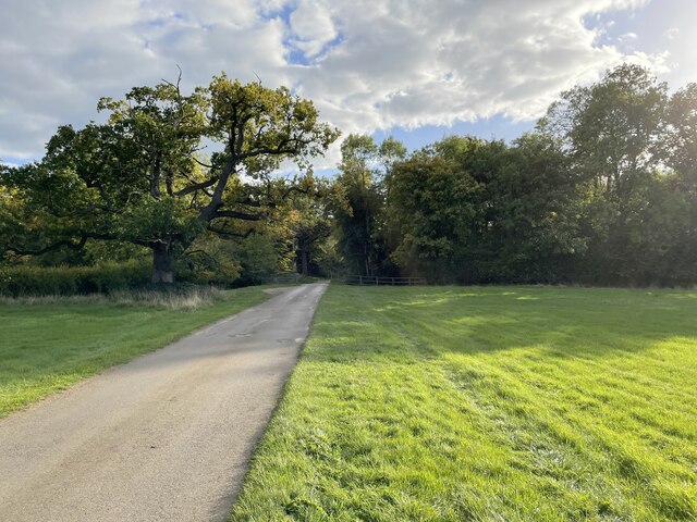
Lord's Wood is a picturesque woodland located in Hertfordshire, England. Covering an area of approximately 50 acres, it is a diverse and ancient forest that offers an array of natural beauty. The wood is largely characterized by its dense canopy of trees, including oak, beech, and birch, which create a lush and verdant environment.

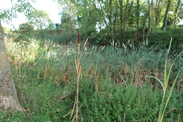
As a designated Site of Special Scientific Interest (SSSI), Lord's Wood is home to a wide variety of flora and fauna. The forest floor is adorned with an abundance of wildflowers and ferns, creating a vibrant and colorful display during the spring and summer months. The wood is also a haven for wildlife, with numerous bird species, including woodpeckers and owls, making it their home. Small mammals, such as foxes, badgers, and squirrels, can also be spotted among the trees.

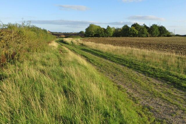
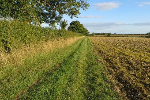
The wood provides an idyllic setting for nature enthusiasts and walkers alike. Tranquil footpaths wind their way through the forest, offering visitors the opportunity to explore its beauty at their own pace. The peaceful atmosphere and the sound of birdsong make it a perfect retreat from the hustle and bustle of everyday life.

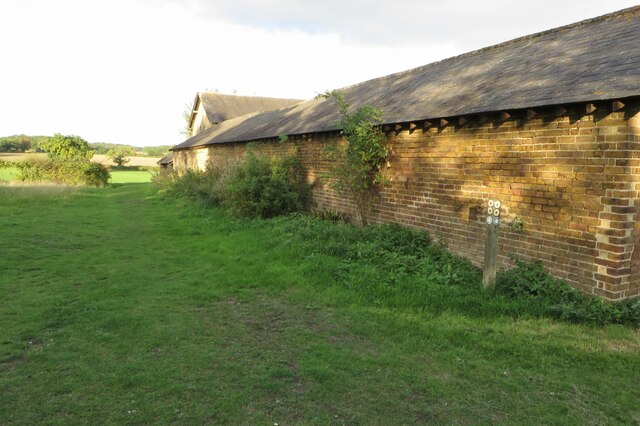
In addition to its natural splendor, Lord's Wood holds historical significance. It is believed to have been part of the land owned by Hertford Castle in the medieval period. Remnants of ancient pathways and boundary ditches can still be found within its boundaries, providing a glimpse into its past.

Overall, Lord's Wood is a captivating woodland that showcases the beauty of nature and offers a tranquil escape for visitors seeking solace in its serene surroundings.

If you have any feedback on the listing, please let us know in the comments section below.
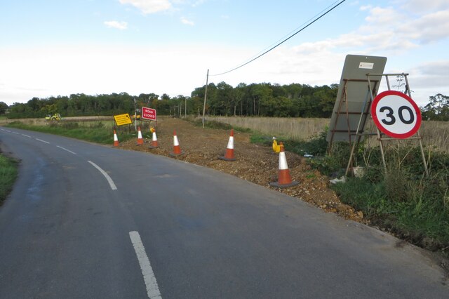
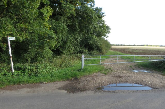
Lord's Wood Images

Images are sourced within 2km of 51.843632/-0.047693112 or Grid Reference TL3417. Thanks to Geograph Open Source API. All images are credited.

Tonwell Water Tower
Tonwell Water Tower
Tonwell Water Tower Grade II listed 50,000-gallon reinforced concrete water tower from 1964, designed by Edmund C Percey of architectural practice Scherrer and Hicks. Description at this <span class="nowrap"><a title="https://historicengland.org.uk/listing/the-list/list-entry/1391971?section=official-listing" rel="nofollow ugc noopener" href="https://historicengland.org.uk/listing/the-list/list-entry/1391971?section=official-listing">Link</a><img style="margin-left:2px;" alt="External link" title="External link - shift click to open in new window" src="https://s1.geograph.org.uk/img/external.png" width="10" height="10"/></span>. Currently under conversion to a private residence.
Tonwell Water Tower
Grade II listed 50,000-gallon reinforced concrete water tower from 1964, designed by Edmund C Percey of architectural practice Scherrer and Hicks. Description at this LinkExternal link. Currently under conversion to a private residence.
Tonwell : St Mary's Primary School "Mr Abel Smith of Woodhall Park built the school in, with the original school house and church in 1857. It opened in 1858. The school now incorporates the building of St Mary’s Chapel, which provides ... two junior classrooms. The original school, with its beautiful leaded windows and vaulted roof, is still used as our school hall ..." - <span class="nowrap"><a title="https://www.tonwell.herts.sch.uk/page-school-history-57/" rel="nofollow ugc noopener" href="https://www.tonwell.herts.sch.uk/page-school-history-57/">Link</a><img style="margin-left:2px;" alt="External link" title="External link - shift click to open in new window" src="https://s1.geograph.org.uk/img/external.png" width="10" height="10"/></span>
Tonwell : St Mary's Primary School
"Mr Abel Smith of Woodhall Park built the school in, with the original school house and church in 1857. It opened in 1858. The school now incorporates the building of St Mary’s Chapel, which provides ... two junior classrooms. The original school, with its beautiful leaded windows and vaulted roof, is still used as our school hall ..." - LinkExternal link
Tonwell Parish Hall
Tonwell Parish Hall
Tonwell : "Robin Hood & Little John" public house Grade II listed building described at this <span class="nowrap"><a title="https://historicengland.org.uk/listing/the-list/list-entry/1089155?section=official-listing" rel="nofollow ugc noopener" href="https://historicengland.org.uk/listing/the-list/list-entry/1089155?section=official-listing">Link</a><img style="margin-left:2px;" alt="External link" title="External link - shift click to open in new window" src="https://s1.geograph.org.uk/img/external.png" width="10" height="10"/></span>
Tonwell : "Robin Hood & Little John" public house
Grade II listed building described at this LinkExternal link
Sacombe, St Catherine
Minor road from the A602- now removed
Footpath by Roads Woods towards Tonwell
Chain Walk going to Sacombe Park
Chain Walk heading north
Bridge over an empty stream
Avenue into Woodhall Park by Ware Lodge
Footpath by Temple Farm
Damp pond at Temple Farm Part of the moat mentioned on the map perhaps
Damp pond at Temple Farm
Part of the moat mentioned on the map perhaps
Chain Walk approaching Temple Farm
Footpath and drive out of Sacombe Park
Chain Walk on the drive out of Sacombe Park
Chain Walk going to Temple Farm
Show me another place!

Lord's Wood is located at Grid Ref: TL3417 (Lat: 51.843632, Lng: -0.047693112)

Administrative County: Hertfordshire

District: East Hertfordshire

Police Authority: Hertfordshire

What 3 Words

///stamp.lift.hails. Near Ware, Hertfordshire

Nearby Locations

Lord's Wood Bourne Wood

Related Wikis

Tonwell

Tonwell is a small village in Bengeo Rural parish, Hertfordshire.The village is situated just off the A602 (formerly B1001), having been bypassed in 1987...
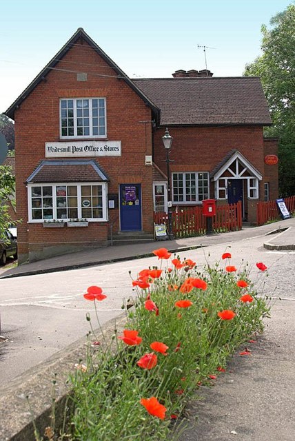
Wadesmill

Wadesmill is a hamlet in Hertfordshire, England, located on the north side of the River Rib, with an estimated population of 264. At the 2011 Census the...

Downfield Pit

Downfield Pit is a 3.6-hectare (8.9-acre) geological Site of Special Scientific Interest near Ware in Hertfordshire. It is in the Geological Conservation...

Thundridge

Thundridge is a village and civil parish in the East Hertfordshire district, in the county of Hertfordshire, England. It is about two miles away from...

Hanbury Manor

Hanbury Manor, centred on the multi-wing Hanbury Manor Hotel, is a converted late-Victorian country house and adjoining golf course in Thundridge, north...

Sacombe Green

Sacombe Green is a hamlet located to the east of the village of Sacombe, in the East Hertfordshire district, in the county of Hertfordshire, England....

High Cross, East Hertfordshire

High Cross is a village in the civil parish of Thundridge, in the East Hertfordshire district, in Hertfordshire, England. It lies upon what was the A10...

English Championship (golf)

The English Championship was a professional golf tournament held 6–9 August 2020 at Hanbury Manor Golf Club in Thundridge, near Ware, Hertfordshire, England...

Nearby Amenities

Located within 500m of 51.843632,-0.047693112
Addr Housename: Chelsing Farm
Lat/Long: 51.8430546/-0.0420893
Addr Housenumber: Chelsing Cottages
Lat/Long: 51.8410306/-0.0464551
Material: wood
Power: pole
Lat/Long: 51.8417619/-0.0456245
Material: wood
Power: pole
Lat/Long: 51.8426319/-0.0436799
Material: wood
Power: pole
Lat/Long: 51.8423403/-0.0443209
Material: wood
Power: pole
Lat/Long: 51.8420602/-0.044962
Material: wood
Power: pole
Lat/Long: 51.8429186/-0.0430201
Material: wood
Power: pole
Lat/Long: 51.8417097/-0.0482222
Power: pole
Lat/Long: 51.8414902/-0.0462681
Material: wood
Power: pole
Lat/Long: 51.8412367/-0.0469091
Material: wood
Power: pole
Lat/Long: 51.8421853/-0.0493417
Material: wood
Power: pole
Lat/Long: 51.8424074/-0.0510744
Material: wood
Power: pole
Lat/Long: 51.8425532/-0.0526676
Power: pole
Lat/Long: 51.8424596/-0.0540559
The data included in this document is from www.openstreetmap.org. The data is made available under ODbL.

Have you been to Lord's Wood?

Leave your review of Lord's Wood below (or comments, questions and feedback).