Bones Wood
Wood, Forest in Surrey Tandridge
England
Bones Wood

Bones Wood, located in Surrey, England, is a picturesque forest area known for its natural beauty and rich biodiversity. Covering an area of approximately 100 acres, this woodland is a popular destination for nature enthusiasts and outdoor adventurers.
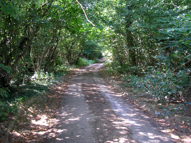
The forest is characterized by its dense canopy of towering trees, primarily consisting of oak, beech, and birch. The majestic woodland creates a serene and peaceful atmosphere, making it an ideal spot for walking, hiking, and birdwatching. The forest floor is covered with a thick carpet of fallen leaves, creating a rustic and earthy ambiance.
Bones Wood is home to a variety of wildlife, including deer, foxes, badgers, and numerous bird species. Birdwatchers can spot woodpeckers, owls, and various songbirds in this enchanting woodland. The forest's diverse ecosystem also supports a wide range of plant life, from vibrant wildflowers to delicate ferns.
Visitors to Bones Wood can explore the area through a network of well-maintained trails and paths. These paths wind through the forest, offering glimpses of small ponds, streams, and clearings along the way. The forest also features several picnic areas and benches, allowing visitors to relax and soak in the natural beauty.
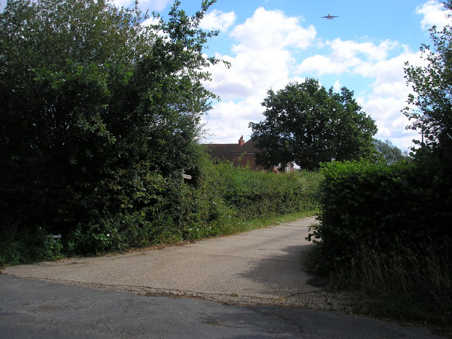
Bones Wood is easily accessible, with ample parking facilities and nearby public transportation options. It is a popular destination for families, nature lovers, and photographers seeking to capture the essence of a truly magical woodland in the heart of Surrey.
If you have any feedback on the listing, please let us know in the comments section below.
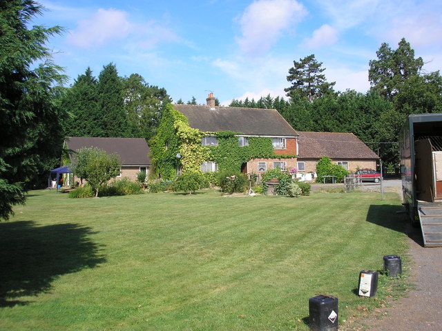
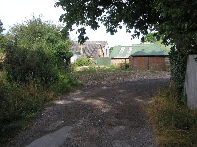
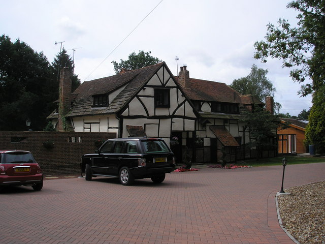
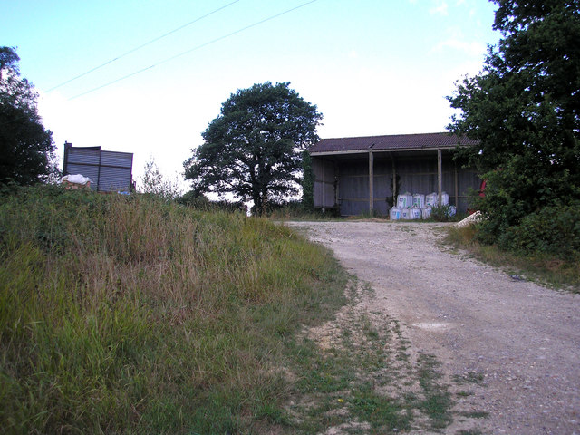
Bones Wood Images
Images are sourced within 2km of 51.16612/-0.077697963 or Grid Reference TQ3442. Thanks to Geograph Open Source API. All images are credited.


Bones Wood is located at Grid Ref: TQ3442 (Lat: 51.16612, Lng: -0.077697963)
Administrative County: Surrey
District: Tandridge
Police Authority: Surrey
What 3 Words
///thick.human.spoon. Near Blindley Heath, Surrey
Nearby Locations
Related Wikis
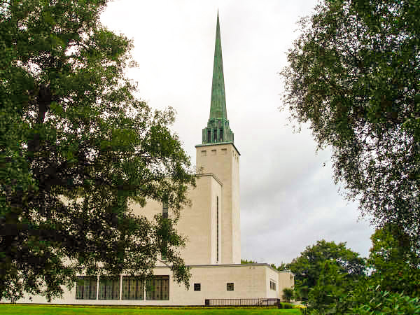
London England Temple
The London England Temple (formerly the London Temple) is the twelfth operating temple of the Church of Jesus Christ of Latter-day Saints (LDS Church)...
Newchapel, Surrey
Newchapel is a large hamlet in Surrey, England, that falls under the civil parish of Horne. It lies on the A22 between Godstone and East Grinstead. It...

British Wildlife Centre
The British Wildlife Centre is a zoo in the hamlet of Newchapel near Lingfield village in the county of Surrey, South East England. The zoo was founded...

Horne, Surrey
Horne is a rural village and civil parish in the District of Tandridge in Surrey, England. The parish includes the hamlet of Newchapel, where the British...

Burstow
Burstow is a village and civil parish in the Tandridge district of Surrey, England. Its largest settlement is Smallfield. Smallfield is 2.5 miles (4.0...

Hedgecourt
Hedgecourt is a 33.6-hectare (83-acre) biological Site of Special Scientific Interest (SSSI) west of Felbridge in Surrey. An area of 5-hectare (12-acre...

A264 road
The A264 is an east–west road in southern England that runs from Pembury in west Kent to Five Oaks in West Sussex. == History == There have been a number...

London to Brighton Way
The London to Brighton Way, also called the London to Portslade Way, is a Roman road between Stane Street at Kennington Park and Brighton (or more specifically...
Nearby Amenities
Located within 500m of 51.16612,-0.077697963Have you been to Bones Wood?
Leave your review of Bones Wood below (or comments, questions and feedback).