Bucket Hill Plantation
Wood, Forest in Cambridgeshire South Cambridgeshire
England
Bucket Hill Plantation
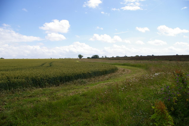
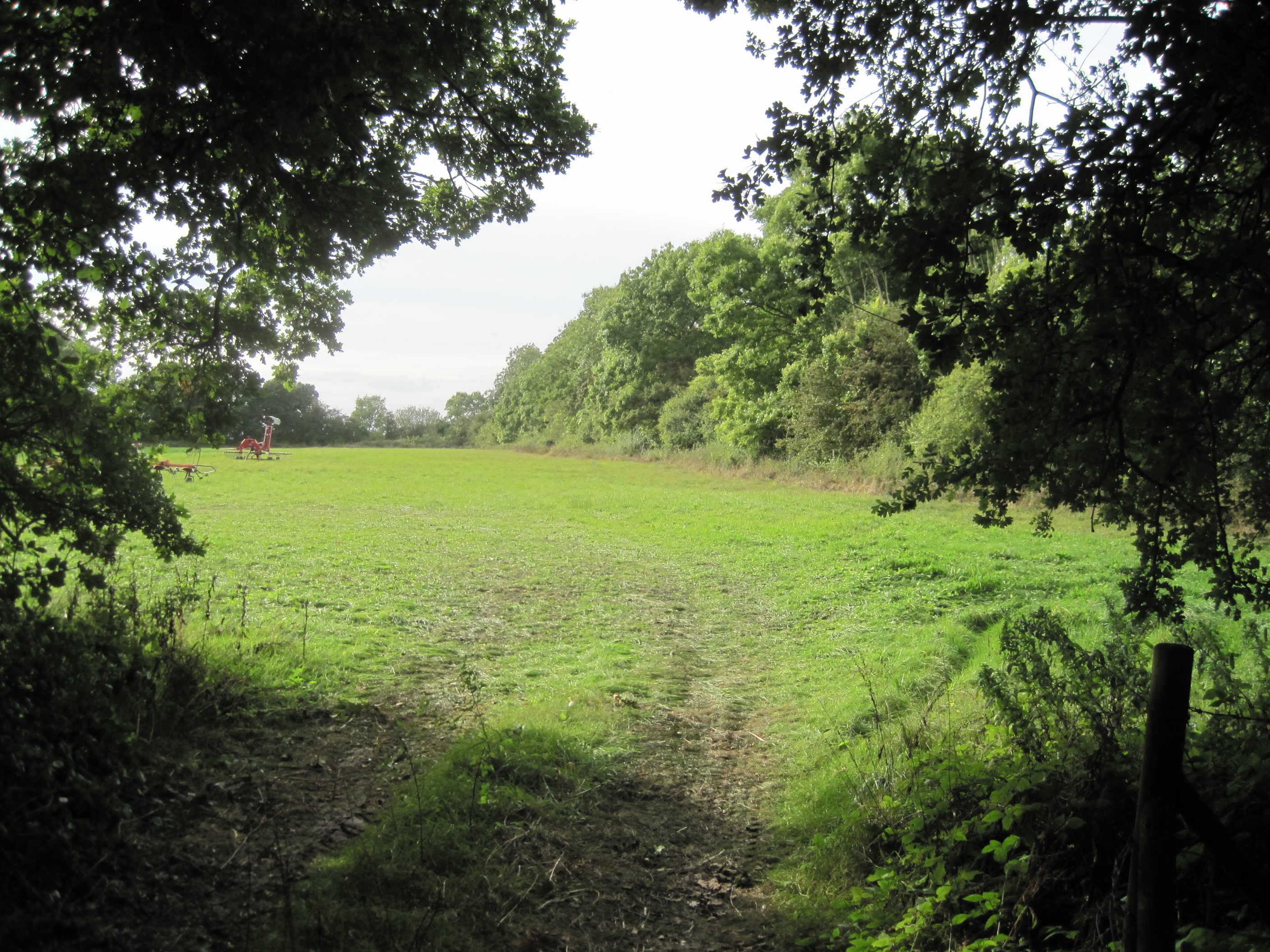
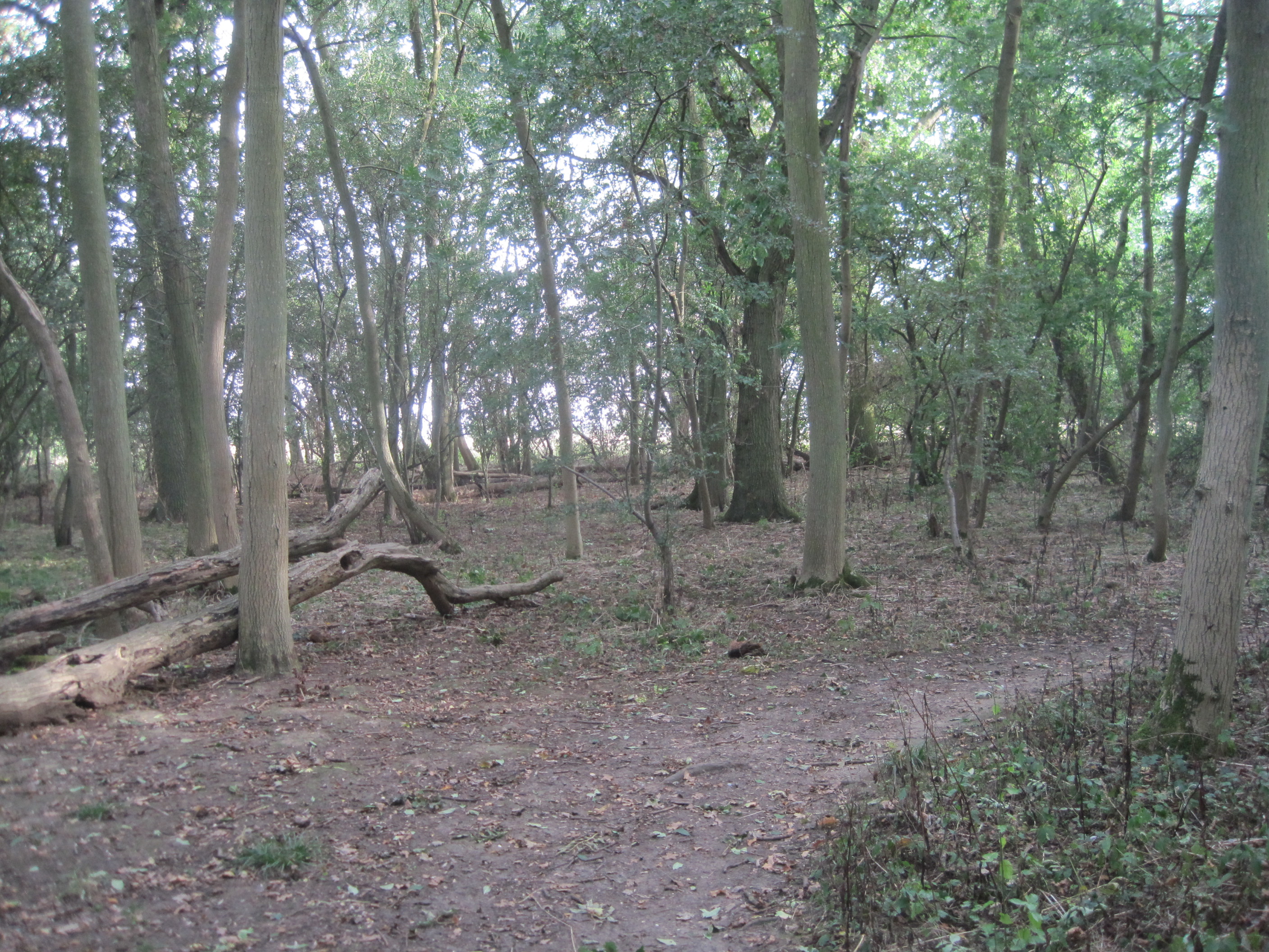
Bucket Hill Plantation is a picturesque woodland area located in Cambridgeshire, England. The plantation covers an extensive area, encompassing dense forests, sprawling meadows, and enchanting woodlands.
The plantation is renowned for its breathtaking natural beauty, with a diverse range of tree species adorning the landscape. Oak, beech, and birch trees dominate the area, providing a rich habitat for various wildlife species. The forest floor is carpeted with vibrant wildflowers, creating a stunning display of colors during the spring and summer months.
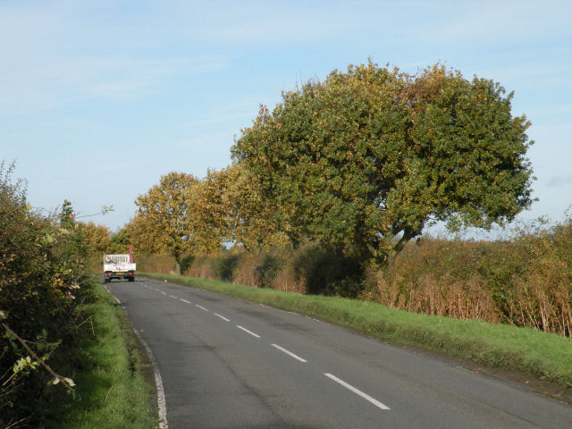
Visitors to Bucket Hill Plantation can explore a network of well-maintained trails that wind through the woods, offering scenic views and opportunities for outdoor activities such as hiking, cycling, and nature walks. The trails are suitable for visitors of all ages and abilities, with some paths accessible for wheelchair users.
The plantation is also home to a variety of wildlife, including deer, foxes, badgers, and a plethora of bird species. Birdwatchers will delight in the chance to spot rare and migratory birds, such as woodpeckers, buzzards, and owls.
Bucket Hill Plantation is a popular destination for nature enthusiasts, families, and photographers seeking tranquility and natural beauty. It offers a serene escape from the hustle and bustle of city life, allowing visitors to immerse themselves in the peacefulness of the woodland surroundings.
Overall, Bucket Hill Plantation is a hidden gem in Cambridgeshire, offering a haven for nature lovers and a peaceful retreat for all who venture into its enchanting forests.
If you have any feedback on the listing, please let us know in the comments section below.
Bucket Hill Plantation Images
Images are sourced within 2km of 52.209944/-0.034658857 or Grid Reference TL3458. Thanks to Geograph Open Source API. All images are credited.


Bucket Hill Plantation is located at Grid Ref: TL3458 (Lat: 52.209944, Lng: -0.034658857)
Administrative County: Cambridgeshire
District: South Cambridgeshire
Police Authority: Cambridgeshire
What 3 Words
///spellings.outings.airports. Near Cambourne, Cambridgeshire
Nearby Locations
Related Wikis

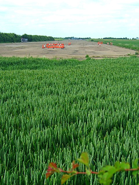
Bourn Airfield
Bourn Airport (IATA: n/a, ICAO: EGSN) is located 7 NM (13 km; 8.1 mi) west of Cambridge, Cambridgeshire, England. The airfield was originally constructed...
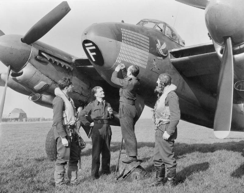
RAF Bourn
Royal Air Force Bourn or more simply RAF Bourn is a former Royal Air Force station located 2 miles (3.2 km) north of Bourn, Cambridgeshire and 6.9 miles...
Caldecote Meadows
Caldecote Meadows is a 9.1-hectare (22-acre) biological Site of Special Scientific Interest in Caldecote in Cambridgeshire.The site is herb-rich calcareous...
Caldecote, South Cambridgeshire
Caldecote is a village and civil parish in Cambridgeshire, in the district of South Cambridgeshire, England. It lies south of the A428, approximately six...
Hardwick Wood
Hardwick Wood is a 15.5-hectare (38-acre) biological Site of Special Scientific Interest southwest of Hardwick in Cambridgeshire. It is managed by the...
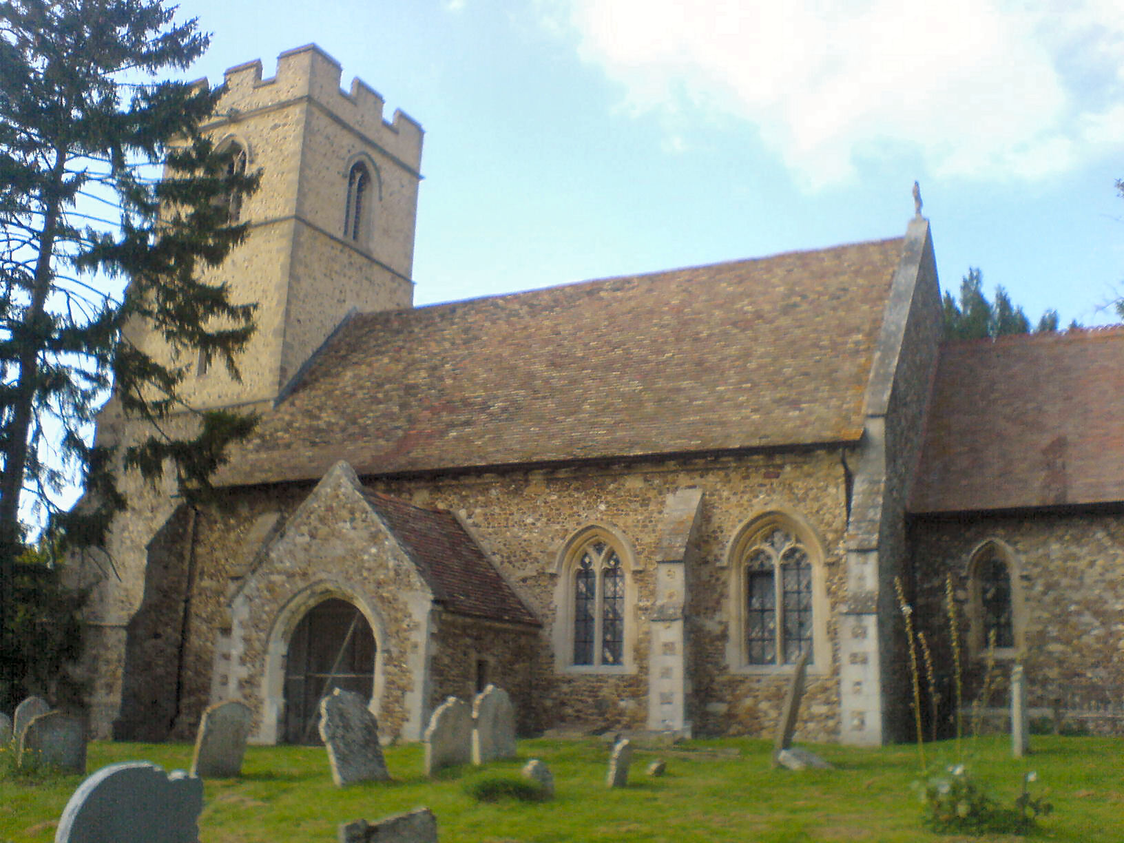
Cambourne Church
Cambourne Church is a "local ecumenical partnership" between the Church of England, Baptist Union of Great Britain, Methodist Church of Great Britain and...
Cambourne
Cambourne is a new settlement and civil parish in Cambridgeshire, England, in the district of South Cambridgeshire. It lies on the A428 road between Cambridge...
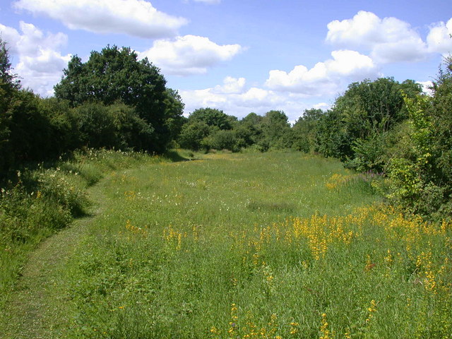
Kingston and Bourn Old Railway
Kingston and Bourn Old Railway or Kingston Amenity Area is a linear 1.9-hectare (4.7-acre) Local Nature Reserve between Kingston and Bourn in Cambridgeshire...
Nearby Amenities
Located within 500m of 52.209944,-0.034658857Have you been to Bucket Hill Plantation?
Leave your review of Bucket Hill Plantation below (or comments, questions and feedback).