Etloe
Settlement in Gloucestershire Forest of Dean
England
Etloe
Etloe is a small village located in the county of Gloucestershire, England. Situated in the beautiful Cotswolds region, it is surrounded by picturesque countryside and rolling hills. With a population of around 200 residents, Etloe exudes a peaceful and tight-knit community atmosphere.
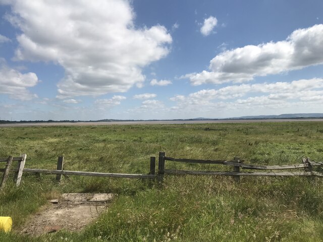
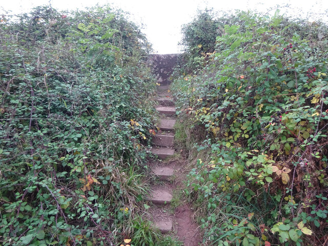
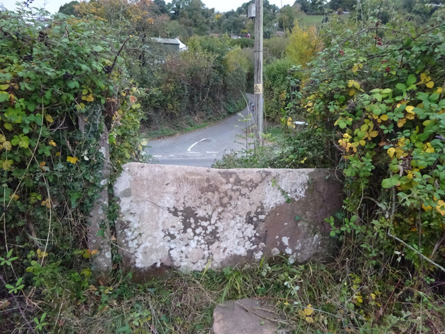
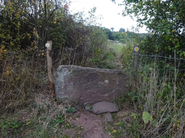
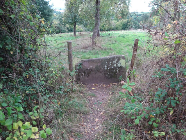
The village itself is characterized by its charming stone cottages, which showcase the traditional Cotswold architectural style. The area is known for its idyllic landscapes, with many walking and cycling routes available for residents and visitors to explore. The nearby Etloe Wood is a popular spot for nature enthusiasts, offering a tranquil environment filled with diverse flora and fauna.
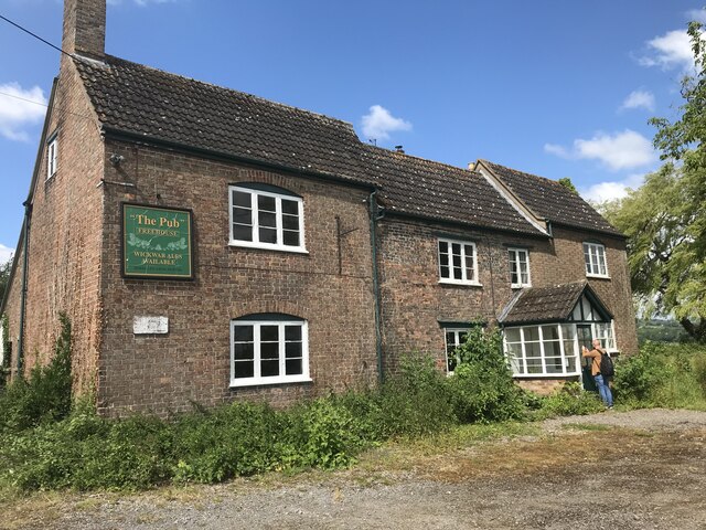
Despite its small size, Etloe boasts a strong sense of community spirit. The village has a local pub, The Etloe Arms, which serves as a hub for social gatherings and events. The pub is renowned for its warm hospitality and traditional British fare.
Etloe is conveniently located near several larger towns and cities. The city of Gloucester is approximately 15 miles away, providing access to a wider range of amenities and services. The village is also within easy reach of the M5 motorway, making it accessible for commuters.
Overall, Etloe offers a tranquil and picturesque setting for residents and visitors alike, with its quaint architecture, stunning natural surroundings, and strong community spirit.
If you have any feedback on the listing, please let us know in the comments section below.
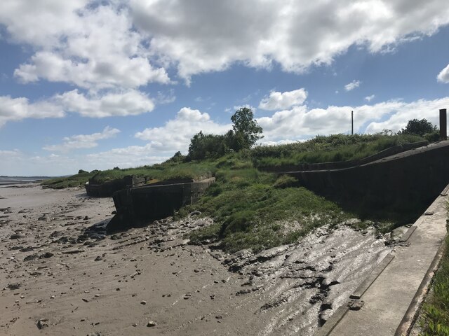
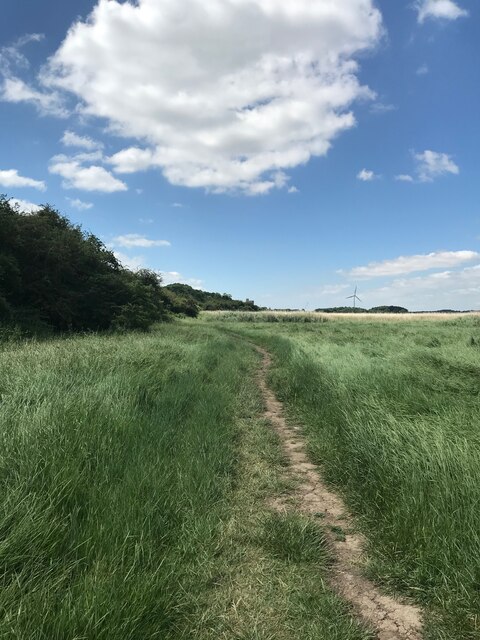
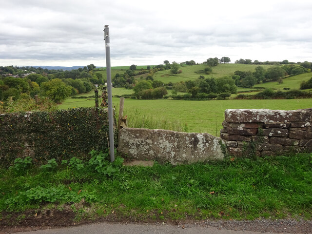
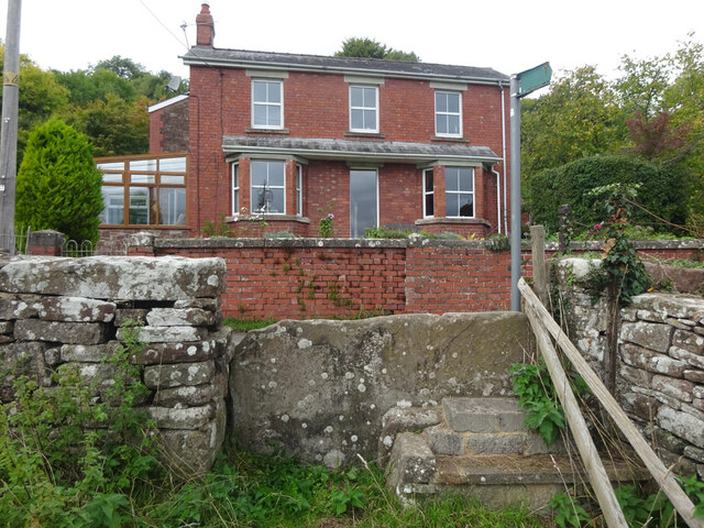
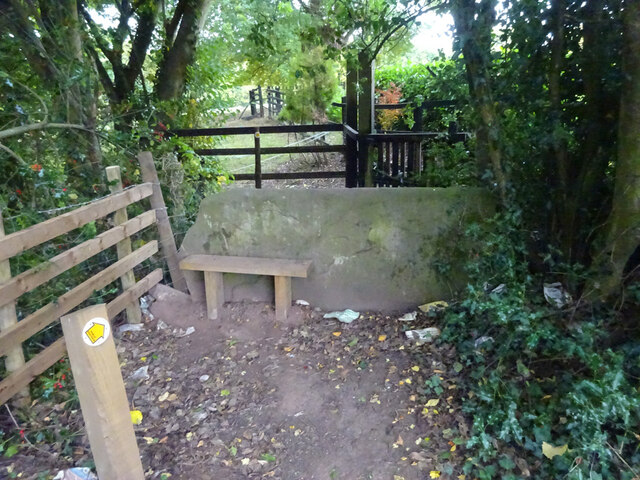
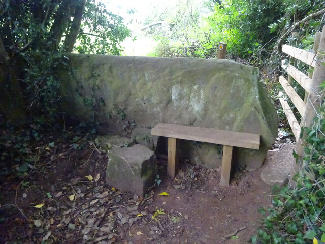
Etloe Images
Images are sourced within 2km of 51.748757/-2.472774 or Grid Reference SO6705. Thanks to Geograph Open Source API. All images are credited.
Etloe is located at Grid Ref: SO6705 (Lat: 51.748757, Lng: -2.472774)
Administrative County: Gloucestershire
District: Forest of Dean
Police Authority: Gloucestershire
What 3 Words
///matrons.fillings.cackling. Near Sharpness, Gloucestershire
Related Wikis

Clarke's Pool Meadow SSSI
Clarke's Pool Meadow (grid reference SO668061) is a 1.8-hectare (4.4-acre) biological Site of Special Scientific Interest in Gloucestershire, notified...

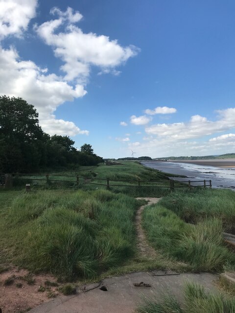
Purton, Lydney
Purton is a hamlet on the west bank of the River Severn, in the civil parish of Lydney in Gloucestershire, England. It lies opposite the village of Purton...

Blakeney, Gloucestershire
Blakeney is a village in Gloucestershire, England. It in the parish of Awre and has views of the Forest of Dean. It was the site of a Roman villa, dating...
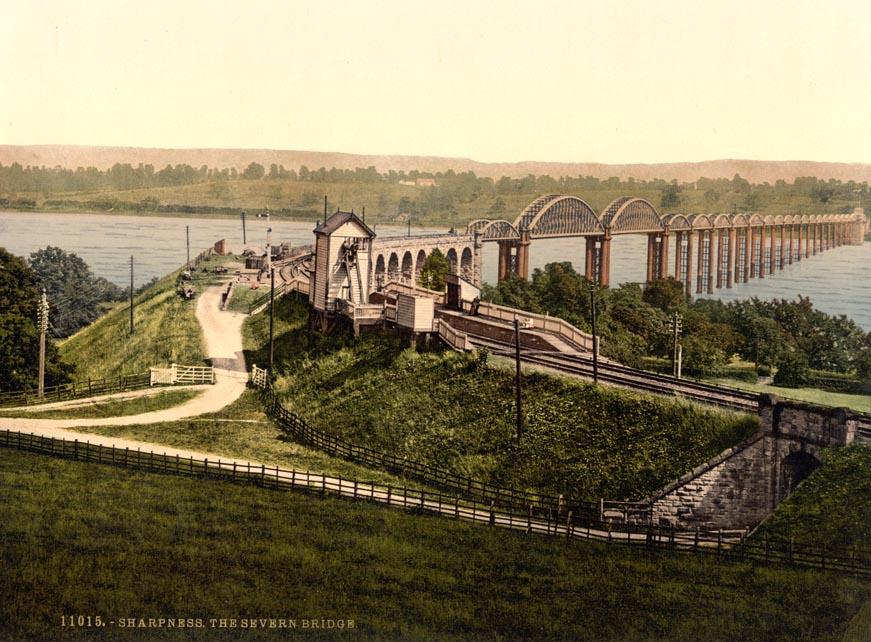
Severn Bridge railway station
Severn Bridge railway station was a small station on the Severn Bridge Railway located close to the north west bank of the River Severn, 2 miles (3 km...

Brain's Green
Brain's Green is a hamlet in Gloucestershire, England. == References ==
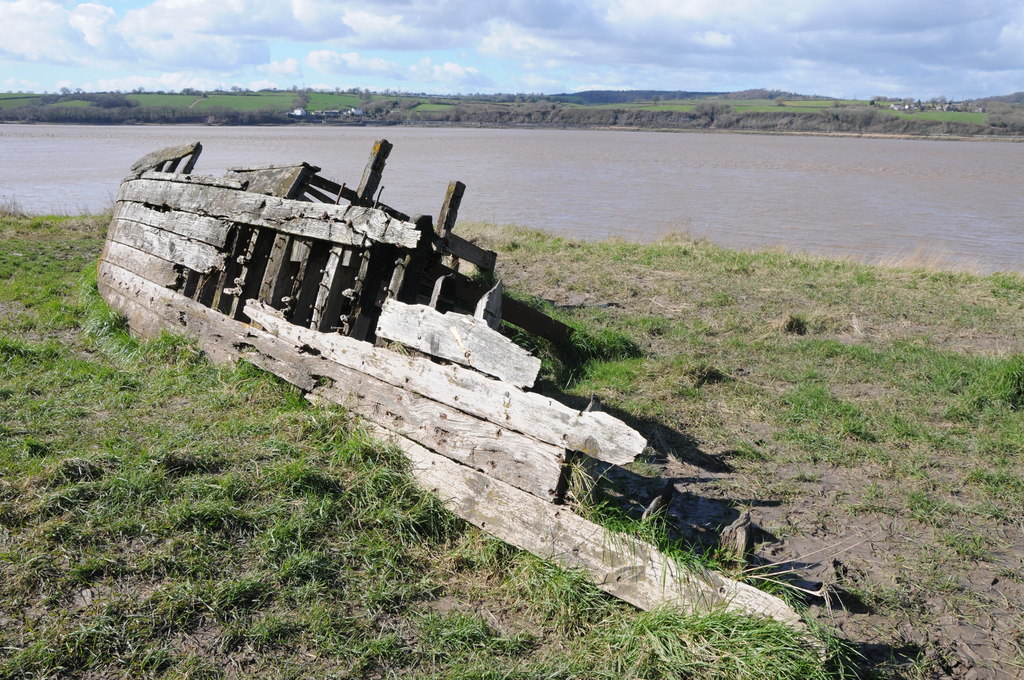
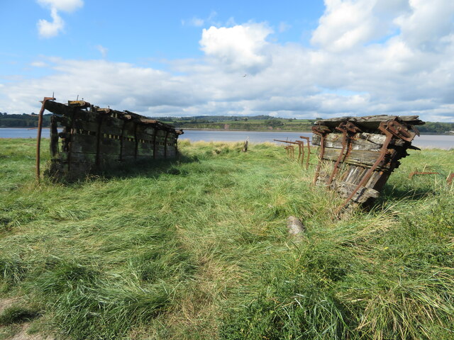
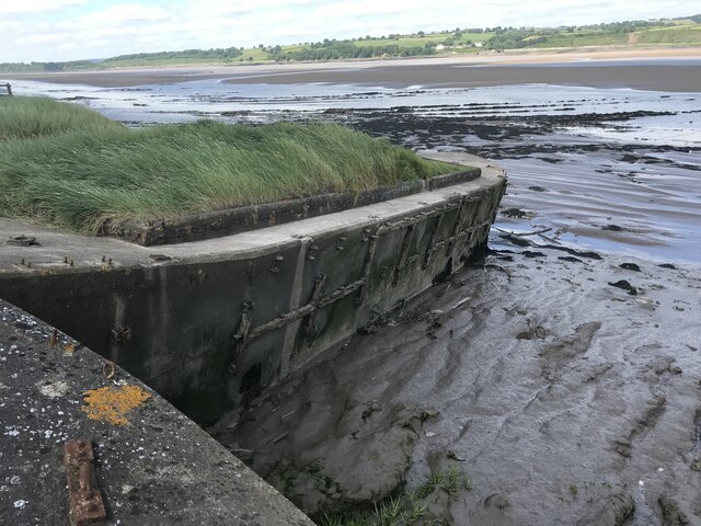
Purton Hulks
The Purton Hulks or Purton Ships' Graveyard is a number of abandoned boats and ships, deliberately beached beside the River Severn near Purton in Gloucestershire...

Severn Railway Bridge
The Severn Railway Bridge (historically called the Severn Bridge) was a bridge carrying the railway across the River Severn between Sharpness and Lydney...
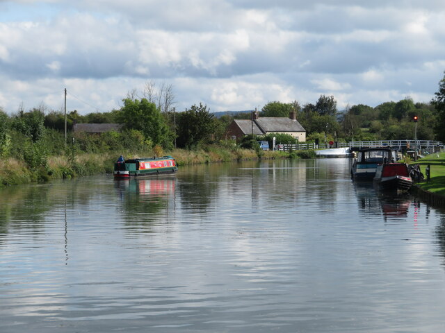
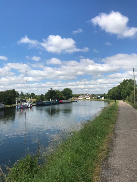
Gloucester and Sharpness Canal
The Gloucester and Sharpness Canal (also known as the Gloucester and Berkeley Canal) is a ship canal in the west of England, between Gloucester and Sharpness...
Nearby Amenities
Located within 500m of 51.748757,-2.472774Have you been to Etloe?
Leave your review of Etloe below (or comments, questions and feedback).