Fir Grove
Wood, Forest in Hertfordshire East Hertfordshire
England
Fir Grove
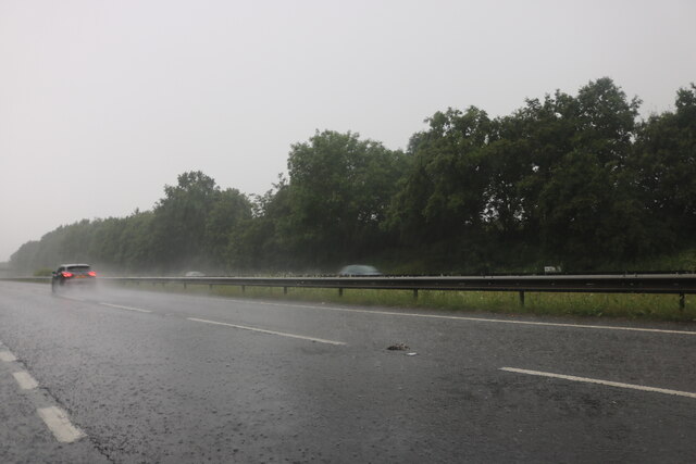
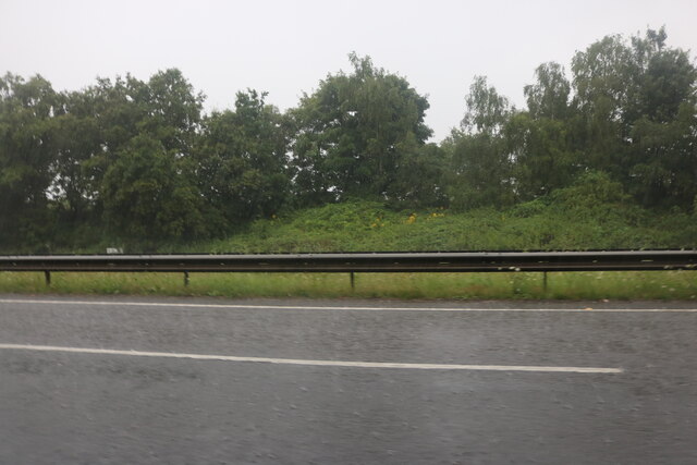
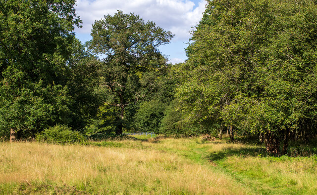
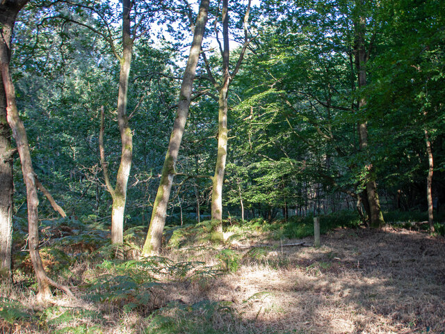
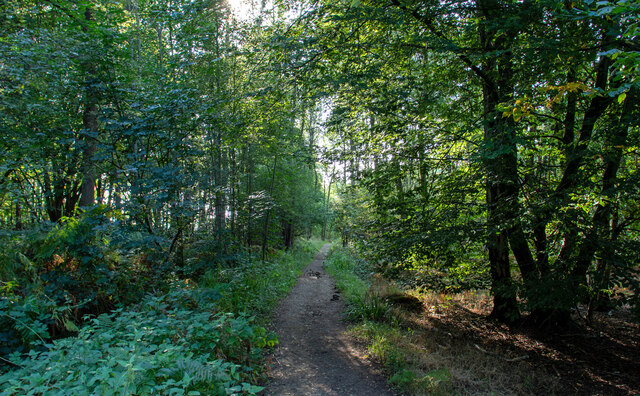
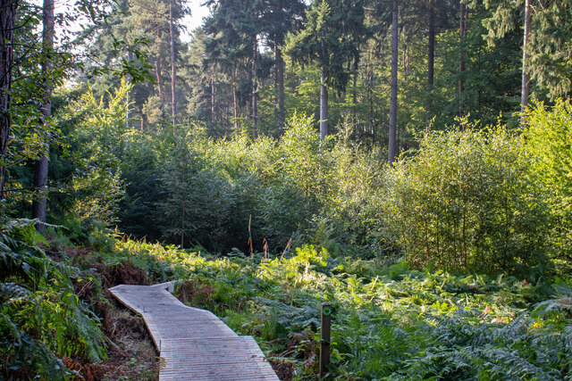
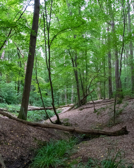
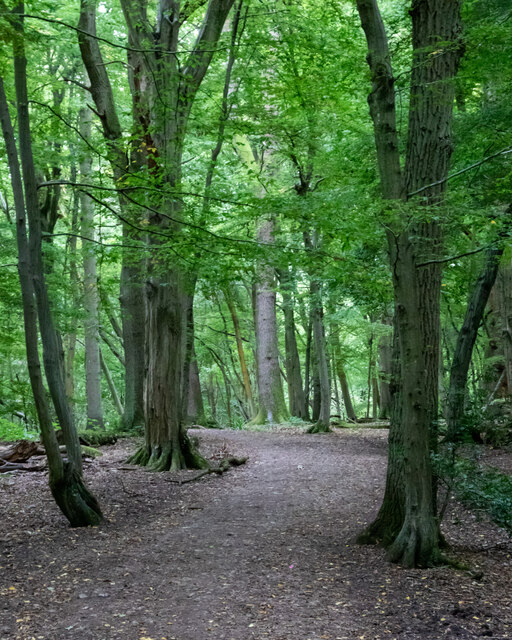
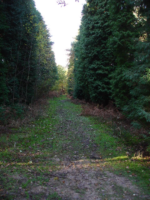
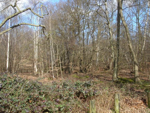
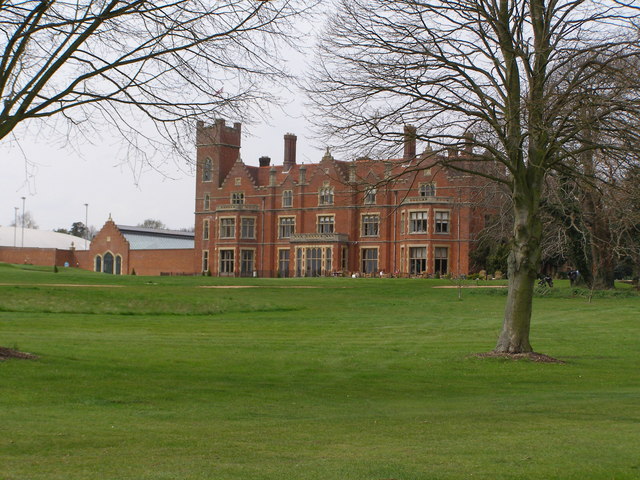
Fir Grove is a serene woodland area located in Hertfordshire, England. Spanning approximately 50 hectares, this lush forest is characterized by its dense population of fir trees, which contribute to its name. The grove is nestled in the heart of the county, offering a tranquil escape from the bustling urban environment.
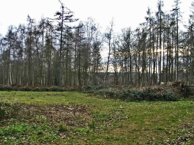
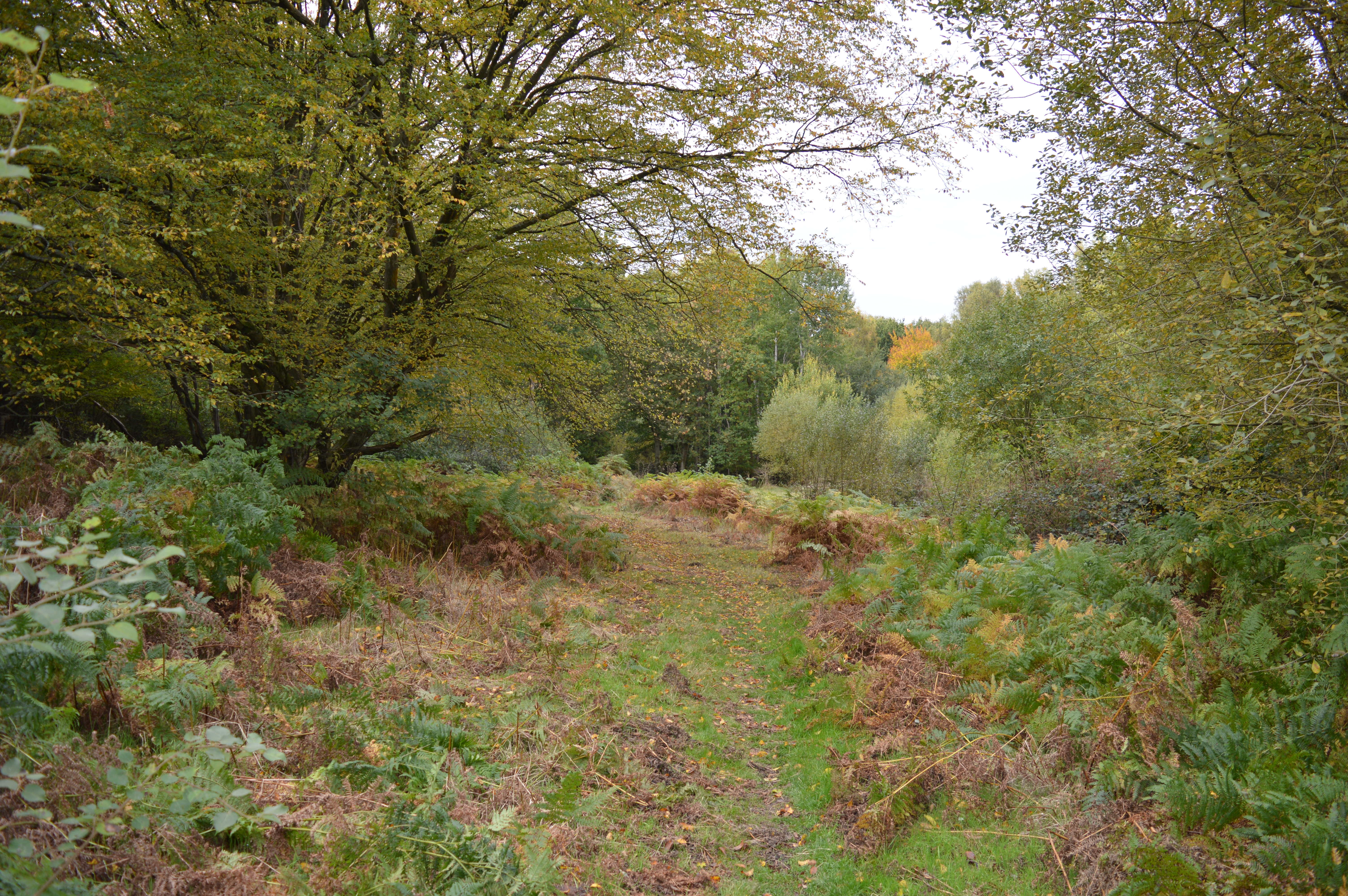
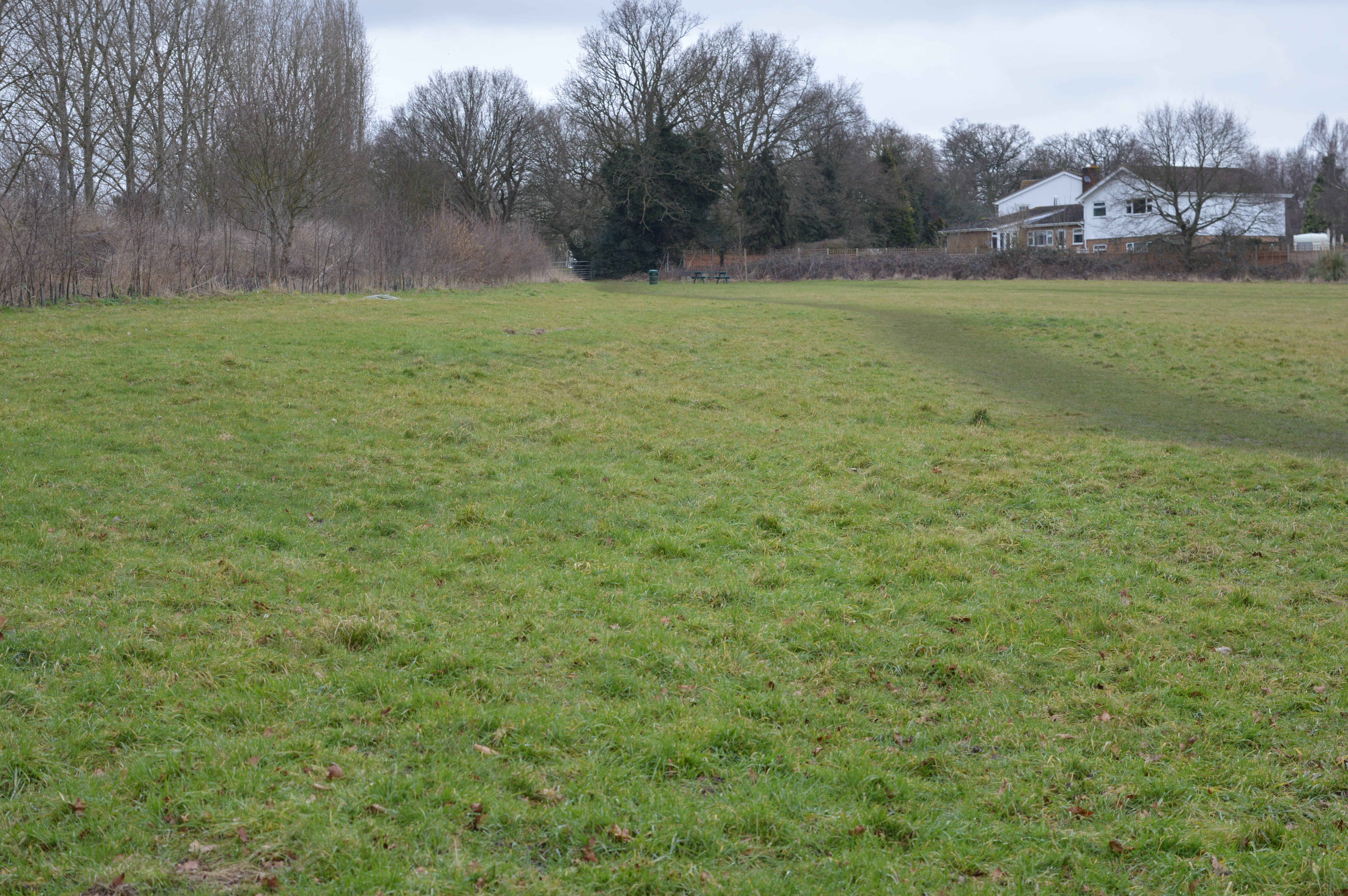
The woodland is a popular destination for nature enthusiasts and avid hikers, thanks to its well-maintained trails and picturesque scenery. The undulating terrain features a mix of gentle slopes and flat stretches, making it accessible for visitors of all ages and fitness levels. As visitors explore the grove, they are greeted by an abundance of wildlife, including a variety of bird species, small mammals, and insects.
Fir Grove is meticulously managed by local authorities, ensuring the preservation of its natural beauty and ecological balance. This forested area also plays an important role in the local ecosystem, providing a habitat for numerous plant and animal species.
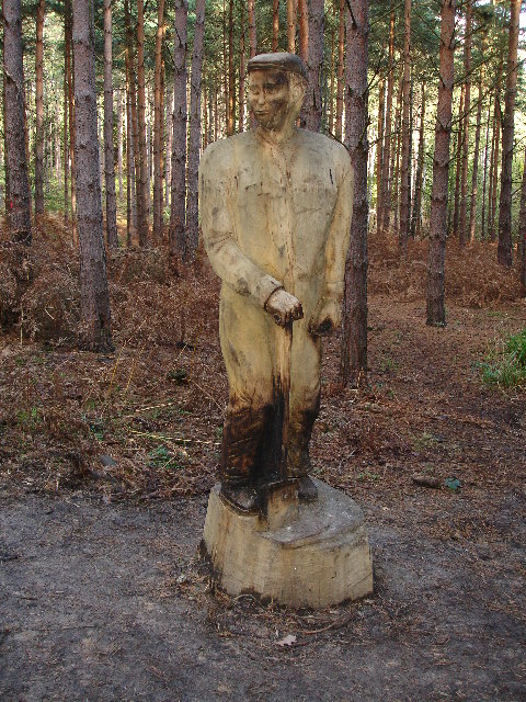
In addition to its natural appeal, Fir Grove offers a range of recreational activities for visitors to enjoy. Picnic areas are scattered throughout the woodland, providing the perfect setting for a relaxing outdoor meal. The grove is also equipped with designated camping spots, allowing visitors to extend their stay and immerse themselves in the tranquility of the surroundings.
Overall, Fir Grove, Hertfordshire, is a haven for nature lovers and a cherished natural asset within the county. Its lush forests, diverse wildlife, and recreational opportunities make it a must-visit destination for those seeking solace in the beauty of the great outdoors.
If you have any feedback on the listing, please let us know in the comments section below.
Fir Grove Images
Images are sourced within 2km of 51.739402/-0.058533271 or Grid Reference TL3406. Thanks to Geograph Open Source API. All images are credited.


Fir Grove is located at Grid Ref: TL3406 (Lat: 51.739402, Lng: -0.058533271)
Administrative County: Hertfordshire
District: East Hertfordshire
Police Authority: Hertfordshire
What 3 Words
///range.tiles.hurls. Near Broxbourne, Hertfordshire
Nearby Locations
Related Wikis

Paradise Wildlife Park
Paradise Wildlife Park is a family-run wildlife park and charity located in Broxbourne, Hertfordshire, England. Previously known as Broxbourne Zoo, it...
Wormley-Hoddesdonpark Wood South
Wormley-Hoddesdonpark Wood South is a 192.5 hectares (476 acres) is a biological site of Special Scientific Interest near Cheshunt in Hertfordshire. It...

Wormleybury
Wormleybury is an 18th-century house surrounded by a landscaped park of 57 ha (140 acres) near Wormley in Broxbourne, Hertfordshire, England, a few miles...

Broxbourne (UK Parliament constituency)
Broxbourne is a constituency in Hertfordshire represented in the House of Commons of the UK Parliament since 2005 by Charles Walker of the Conservative...
Danemead
Danemead is a 5.6-hectare nature reserve west of Hoddesdon in Hertfordshire, managed by the Herts and Middlesex Wildlife Trust. It is part of the Wormley...
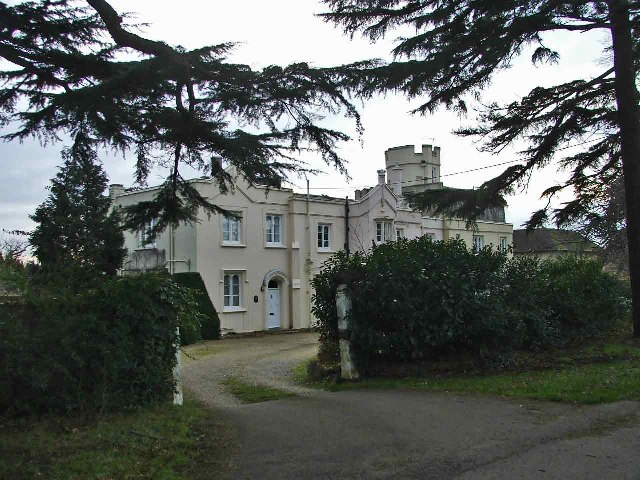
Broxbournebury Manor
Broxbournebury Manor is a country club in Broxbourne, Hertfordshire, England. It is a building of historical significance and is listed on the English...

Wormleybury Brook
Wormleybury Brook is a tributary of the River Lea which rises in the hills south of White Stubbs Lane in Hertfordshire, England.
Top Field and Cozens Grove
Top Field and Cozens Grove is a 6.1 hectare Local Nature Reserve in Wormley in Hertfordshire. It is owned and managed by Broxbourne Borough Council.Top...
Nearby Amenities
Located within 500m of 51.739402,-0.058533271Have you been to Fir Grove?
Leave your review of Fir Grove below (or comments, questions and feedback).