Bannister Shaw

Wood, Forest in Surrey Tandridge

England

Bannister Shaw

Outwood Windmill
Outwood Windmill Credit: James Insell

Bannister Shaw is a charming area located in Surrey, England. Situated within the larger district of Wood, Forest, this neighborhood offers a peaceful and serene environment surrounded by lush greenery and natural beauty.

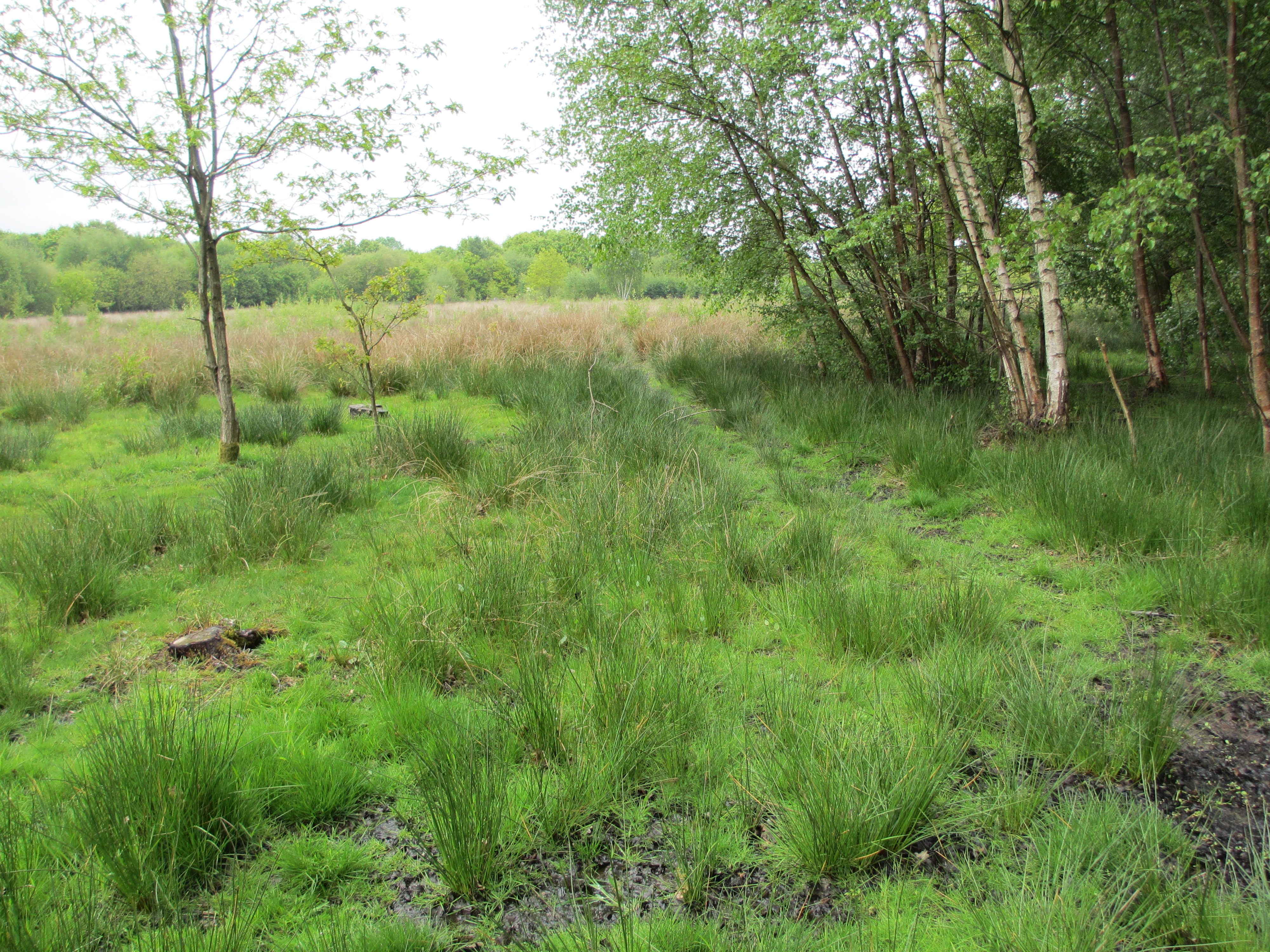
The name "Bannister Shaw" is derived from the combination of two elements. "Bannister" refers to a historical figure associated with the area, while "Shaw" signifies a small woodland or grove. This is fitting, as Bannister Shaw is known for its abundance of trees and woodland areas, making it an idyllic place for nature enthusiasts and outdoor lovers.

The neighborhood is characterized by its picturesque landscapes, with numerous walking trails and parks for residents and visitors to explore. These natural spaces provide opportunities for activities such as hiking, jogging, and simply enjoying the tranquility of the surroundings. Bannister Shaw is also home to a variety of wildlife, including birds, squirrels, and deer, making it a haven for nature lovers and wildlife photographers.

In terms of amenities, the area offers a range of facilities to cater to the needs of its residents. There are local shops, cafes, and restaurants that provide convenience and dining options. Additionally, Bannister Shaw is well-connected to nearby towns and cities, with good transport links enabling easy access to amenities such as schools, hospitals, and shopping centers.

Overall, Bannister Shaw in Surrey is a scenic and peaceful neighborhood that offers a perfect blend of natural beauty and modern conveniences, making it an attractive place to live for those seeking a tranquil yet well-connected community.

If you have any feedback on the listing, please let us know in the comments section below.

Bannister Shaw Images

Images are sourced within 2km of 51.194015/-0.083092244 or Grid Reference TQ3445. Thanks to Geograph Open Source API. All images are credited.

Outwood Windmill
Outwood Windmill
The Jolly Farmer in Whitewood Lane, South Godstone. A circular, convex mirror stands opposite the pub to help motorists leaving the car park. This is actually an image in that mirror - see bottom left.
The Jolly Farmer
in Whitewood Lane, South Godstone. A circular, convex mirror stands opposite the pub to help motorists leaving the car park. This is actually an image in that mirror - see bottom left.
Lower South Park A substantial old property near Godstone, connected via a bridleway to South Park itself
Lower South Park
A substantial old property near Godstone, connected via a bridleway to South Park itself
Farmland near Byers Lane, Surrey Following the recent spell of good weather, the hay is already baled and ready for storage.
Farmland near Byers Lane, Surrey
Following the recent spell of good weather, the hay is already baled and ready for storage.
Surrey Assembly Hall of Jehovah's Witnesses This substantial complex situated off the east side of Byers Lane was formerly Court Lees approved school.  The Jehovah's campaign of knocking on doors has clearly paid off - the car park was very well filled when this photograph was taken on a Sunday morning.
Surrey Assembly Hall of Jehovah's Witnesses
This substantial complex situated off the east side of Byers Lane was formerly Court Lees approved school. The Jehovah's campaign of knocking on doors has clearly paid off - the car park was very well filled when this photograph was taken on a Sunday morning.
Whitewood Lane, Surrey Although Whitewood Lane is not a classified road, it carries a remarkably heavy flow of traffic, and it is unusual to see it without a car in view, even on a Sunday morning.  The road forms a useful short cut from Godstone and Blindley Heath to the Horley-Gatwick-Crawley conurbation.
Whitewood Lane, Surrey
Although Whitewood Lane is not a classified road, it carries a remarkably heavy flow of traffic, and it is unusual to see it without a car in view, even on a Sunday morning. The road forms a useful short cut from Godstone and Blindley Heath to the Horley-Gatwick-Crawley conurbation.
Croydonbarns Lane, Surrey A young rider guides her mount skilfully westwards along the busy Croydonbarns Lane, near to the junction with Church Road, Horne.
Croydonbarns Lane, Surrey
A young rider guides her mount skilfully westwards along the busy Croydonbarns Lane, near to the junction with Church Road, Horne.
Church of St Mary the Virgin, Horne, Surrey This church does have a spire, which, however, is not visible in this image because it is obscured by the trees.  Therefore I have provided a second image to show the spire.
Church of St Mary the Virgin, Horne, Surrey
This church does have a spire, which, however, is not visible in this image because it is obscured by the trees. Therefore I have provided a second image to show the spire.
Church of St. Mary the Virgin, Horne, Surrey This alternative image of Horne Parish Church shows the spire.
Church of St. Mary the Virgin, Horne, Surrey
This alternative image of Horne Parish Church shows the spire.
Farmland off Gayhouse Lane, Surrey Following the warmest July on record, the hay harvest is already in and the field has been rough-ploughed preparatory for next season.
Farmland off Gayhouse Lane, Surrey
Following the warmest July on record, the hay harvest is already in and the field has been rough-ploughed preparatory for next season.
Pagefield Cottage, Norman's Road, Surrey Very old but well maintained, on the east side of the road.
Pagefield Cottage, Norman's Road, Surrey
Very old but well maintained, on the east side of the road.
Grounds of Harewood House, Surrey The usually lush green parkland is brown and parched after record July temperatures and very little rain.
Grounds of Harewood House, Surrey
The usually lush green parkland is brown and parched after record July temperatures and very little rain.
North Lodge, Harewood House, Surrey Many country-house lodges were built in very elaborate and decorative styles, but this one is much more utilitarian.  It lies on the east side of the road connecting Outwood village with the A25.
North Lodge, Harewood House, Surrey
Many country-house lodges were built in very elaborate and decorative styles, but this one is much more utilitarian. It lies on the east side of the road connecting Outwood village with the A25.
Lane past Tanglewood Stables, Surrey Go for a ramble or cycle ride in this part of Surrey and you will very likely see more horses than cows, sheep or even motor cars.  And most of the animals will be in first-class condition as befits this important horse-breeding and rearing area.
Lane past Tanglewood Stables, Surrey
Go for a ramble or cycle ride in this part of Surrey and you will very likely see more horses than cows, sheep or even motor cars. And most of the animals will be in first-class condition as befits this important horse-breeding and rearing area.
Outwood windmill The 1665 post mill at Outwood, which is the oldest in Britain still at work producing flour.
Outwood windmill
The 1665 post mill at Outwood, which is the oldest in Britain still at work producing flour.
Outwood Post Mill, Surrey
Paddocks, Tanglewood Stables
Grounds of Tanglewood Stables
Show me another place!

Bannister Shaw is located at Grid Ref: TQ3445 (Lat: 51.194015, Lng: -0.083092244)

Administrative County: Surrey

District: Tandridge

Police Authority: Surrey

What 3 Words

///club.woods.peanut. Near Blindley Heath, Surrey
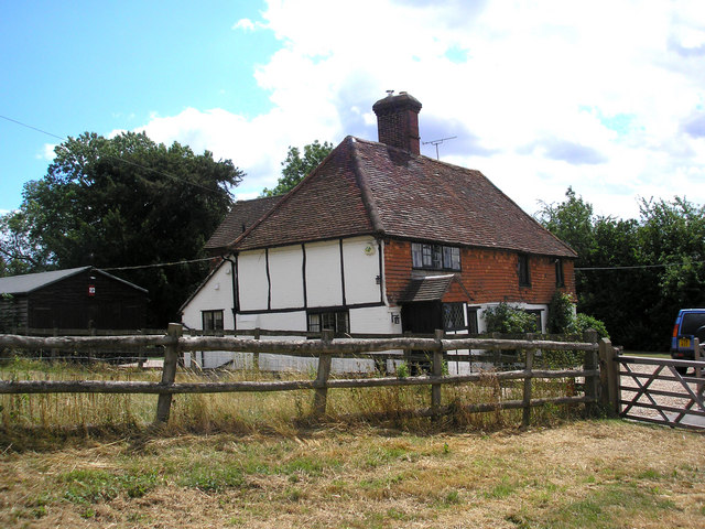
Nearby Locations

Bannister Shaw Whitewood

Related Wikis

Horne, Surrey

Horne is a rural village and civil parish in the District of Tandridge in Surrey, England. The parish includes the hamlet of Newchapel, where the British...
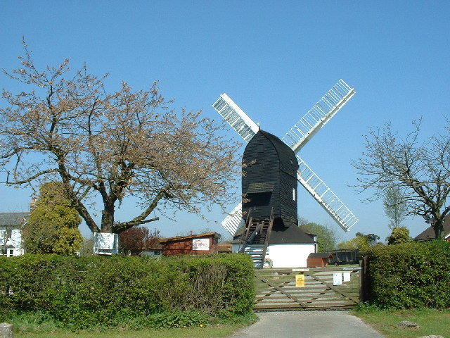
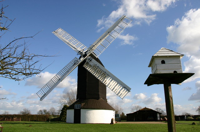
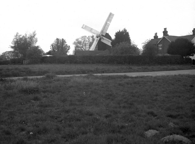
Outwood Windmill

Outwood Windmill is a Grade I listed post mill in Outwood, Surrey. Built in 1665 by Thomas Budgen, a miller from Nutfield in Surrey, it is Britain's oldest...

Outwood, Surrey

Outwood is a village and civil parish in the Tandridge district of the Surrey weald. == Geography == Outwood is separated from Redhill by the M23 which...

Church of St John the Baptist, Outwood

The Church of St John the Baptist, Outwood, is the parish church of Outwood, Surrey, England. == Clergy and style of worship == Part of the Diocese of...

Blindley Heath SSSI

Blindley Heath SSSI is a 26.3-hectare (65-acre) biological Site of Special Scientific Interest in the hamlet Blindley Heath, on the southern outskirts...

British Wildlife Centre

The British Wildlife Centre is a zoo in the hamlet of Newchapel near Lingfield village in the county of Surrey, South East England. The zoo was founded...

Burstow

Burstow is a village and civil parish in the Tandridge district of Surrey, England. Its largest settlement is Smallfield. Smallfield is 2.5 miles (4.0...

Godstone railway station

Godstone railway station is on the Redhill to Tonbridge Line and serves Godstone in Surrey, England. It is 28 miles 13 chains (28.16 miles, 45.32 km) measured...

Nearby Amenities

Located within 500m of 51.194015,-0.083092244
Barrier: cycle_barrier
Cycle Barrier: double
Lat/Long: 51.1929559/-0.0868695
Power: pole
Lat/Long: 51.1928042/-0.0895509
Power: pole
Lat/Long: 51.1916024/-0.087314
Power: pole
Lat/Long: 51.1922126/-0.0884298
Material: wood
Power: pole
Source: gps
Lat/Long: 51.1932766/-0.0869492
Power: pole
Source: gps
Lat/Long: 51.192695/-0.0878048
Communication Mobile Phone: yes
Man Made: mast
Tower Type: communication
Lat/Long: 51.196877/-0.0786907
The data included in this document is from www.openstreetmap.org. The data is made available under ODbL.

Have you been to Bannister Shaw?

Leave your review of Bannister Shaw below (or comments, questions and feedback).