Axeland Croft Shaw
Wood, Forest in Surrey Tandridge
England
Axeland Croft Shaw
Axeland Croft is a residential neighborhood located in Shaw, Surrey, within the county of Surrey in England. This neighborhood is known for its serene and natural surroundings, nestled amidst woodlands and forests, providing residents with a peaceful and picturesque living environment.
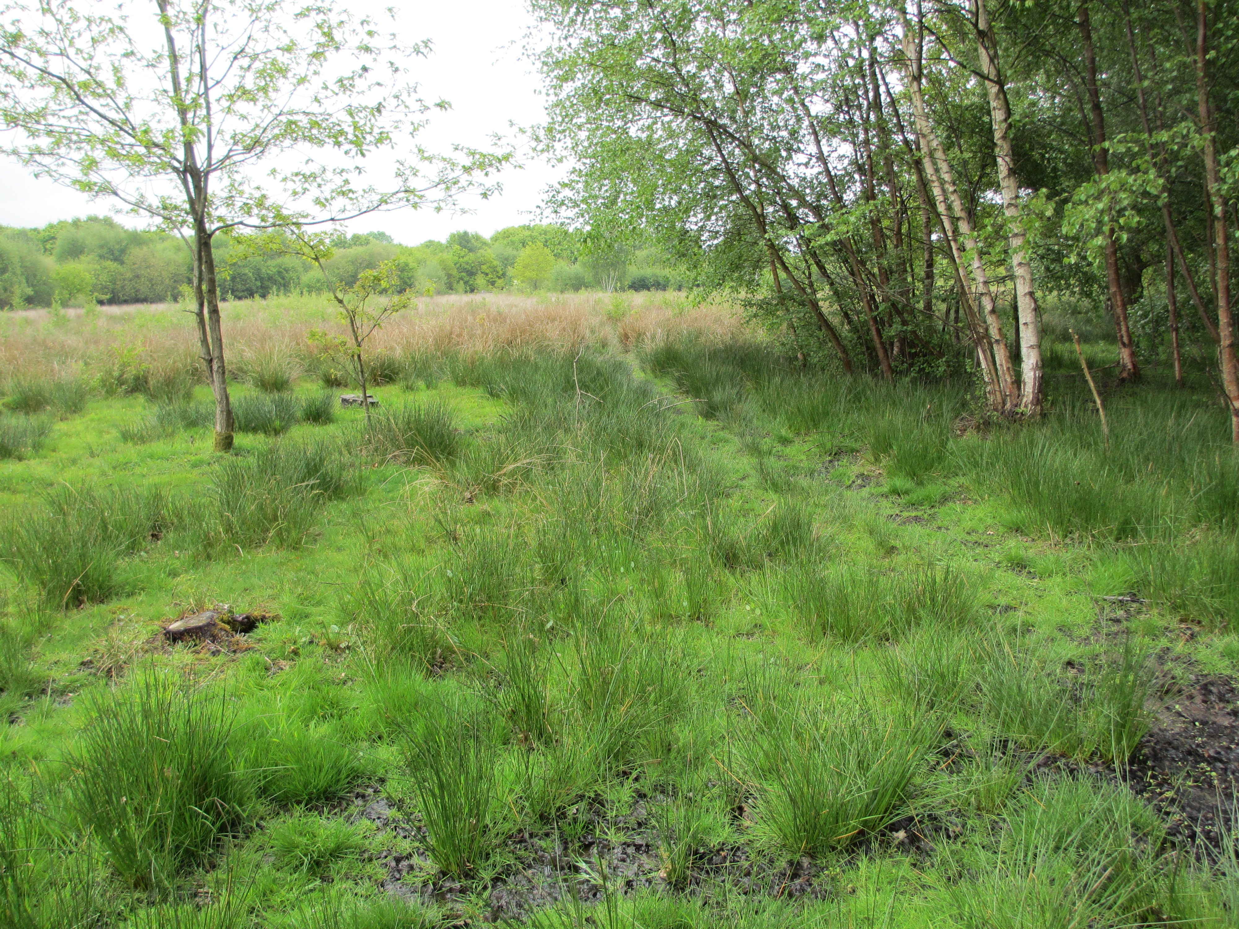
The area is characterized by its abundance of trees and green spaces, making it an ideal location for those who enjoy outdoor activities and a close connection with nature. The woodlands and forests surrounding Axeland Croft offer numerous opportunities for hiking, cycling, and wildlife spotting, making it popular among nature enthusiasts and families alike.
The residential properties in Axeland Croft are mainly detached houses, with a mix of architectural styles, ranging from traditional to contemporary designs. The neighborhood offers a tranquil and safe atmosphere, making it an attractive choice for families and individuals looking for a peaceful retreat.
In terms of amenities, Axeland Croft benefits from its proximity to nearby towns and villages, offering residents access to a range of shops, restaurants, and recreational facilities. The neighborhood is well-connected to public transportation, with regular bus services connecting it to surrounding areas.
Overall, Axeland Croft in Shaw, Surrey offers a charming and idyllic living environment, with its natural beauty and peaceful surroundings. It is an ideal location for nature lovers and those seeking a quiet and picturesque place to call home.
If you have any feedback on the listing, please let us know in the comments section below.
Axeland Croft Shaw Images
Images are sourced within 2km of 51.192339/-0.084507121 or Grid Reference TQ3345. Thanks to Geograph Open Source API. All images are credited.


Axeland Croft Shaw is located at Grid Ref: TQ3345 (Lat: 51.192339, Lng: -0.084507121)
Administrative County: Surrey
District: Tandridge
Police Authority: Surrey
What 3 Words
///steps.abode.juror. Near Blindley Heath, Surrey
Nearby Locations
Related Wikis

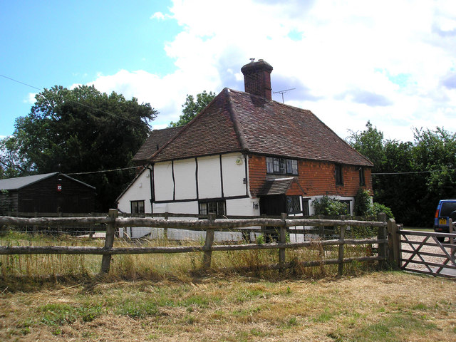
Horne, Surrey
Horne is a rural village and civil parish in the District of Tandridge in Surrey, England. The parish includes the hamlet of Newchapel, where the British...

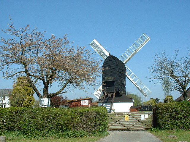
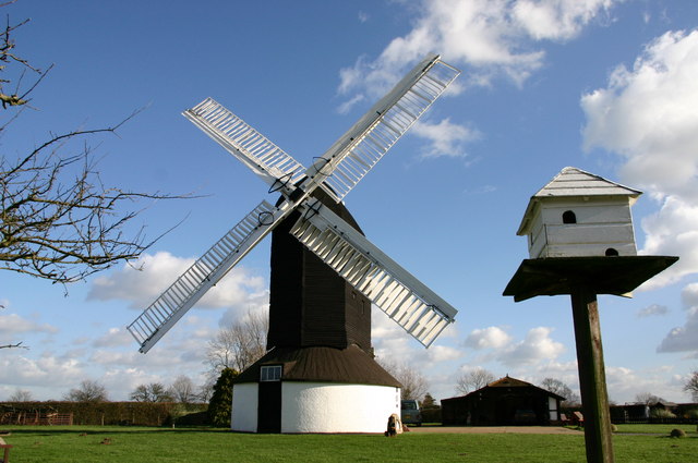
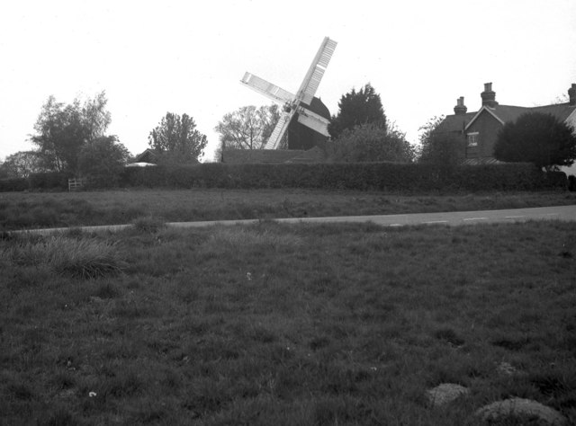
Outwood Windmill
Outwood Windmill is a Grade I listed post mill in Outwood, Surrey. Built in 1665 by Thomas Budgen, a miller from Nutfield in Surrey, it is Britain's oldest...
Outwood, Surrey
Outwood is a village and civil parish in the Tandridge district of the Surrey weald. == Geography == Outwood is separated from Redhill by the M23 which...

Church of St John the Baptist, Outwood
The Church of St John the Baptist, Outwood, is the parish church of Outwood, Surrey, England. == Clergy and style of worship == Part of the Diocese of...
Blindley Heath SSSI
Blindley Heath SSSI is a 26.3-hectare (65-acre) biological Site of Special Scientific Interest in the hamlet Blindley Heath, on the southern outskirts...

Burstow
Burstow is a village and civil parish in the Tandridge district of Surrey, England. Its largest settlement is Smallfield. Smallfield is 2.5 miles (4.0...

British Wildlife Centre
The British Wildlife Centre is a zoo in the hamlet of Newchapel near Lingfield village in the county of Surrey, South East England. The zoo was founded...

Godstone railway station
Godstone railway station is on the Redhill to Tonbridge Line and serves Godstone in Surrey, England. It is 28 miles 13 chains (28.16 miles, 45.32 km) measured...
Nearby Amenities
Located within 500m of 51.192339,-0.084507121Have you been to Axeland Croft Shaw?
Leave your review of Axeland Croft Shaw below (or comments, questions and feedback).