Thunderfield Grove

Wood, Forest in Hertfordshire Broxbourne

England

Thunderfield Grove

Broxbourne Wood interior
Broxbourne Wood interior Credit: Roger Jones

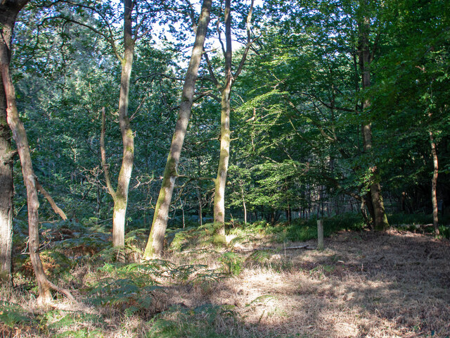
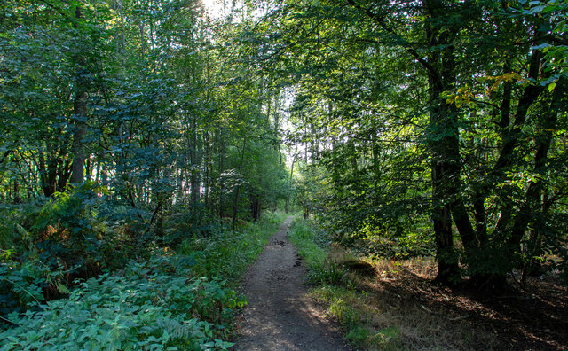
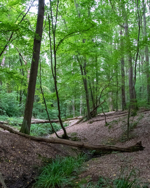
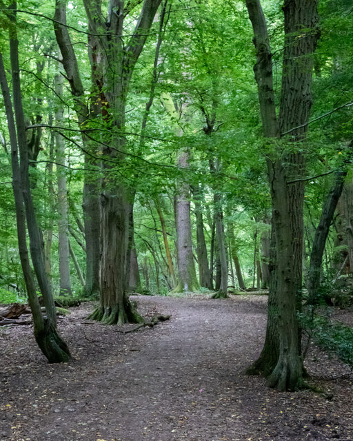
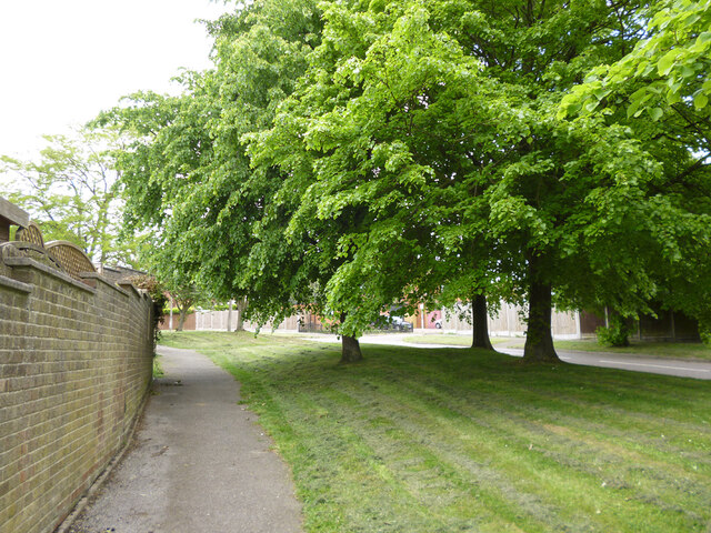
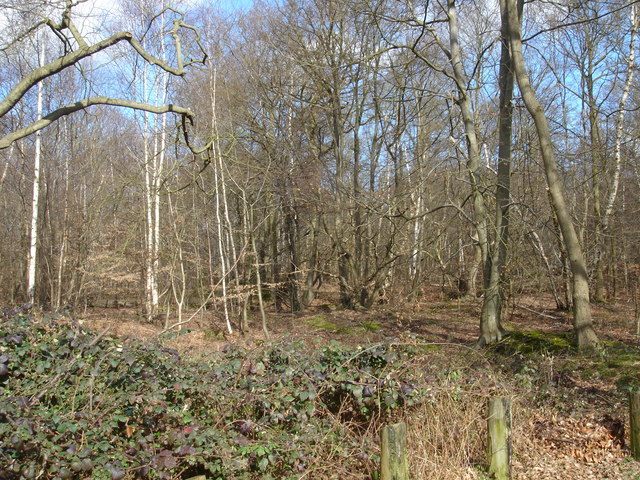
Thunderfield Grove is a picturesque woodland located in Hertfordshire, England. Spread across an expansive area, this enchanting forest is known for its natural beauty and tranquil atmosphere. Nestled amidst the rolling hills and lush greenery, Thunderfield Grove offers a peaceful retreat from the bustling city life.

The grove is home to a diverse range of trees, including oak, beech, and silver birch, which create a dense canopy overhead. The forest floor is adorned with a variety of wildflowers, ferns, and mosses, adding to its magical appeal. This rich biodiversity provides a habitat for numerous woodland creatures, such as deer, foxes, and a wide array of bird species.

Visitors can explore the grove through its well-maintained walking trails, which wind through the forest, allowing for a leisurely stroll or a more adventurous hike. Along these paths, one can discover hidden glens, babbling brooks, and small ponds, adding to the allure of the woodland.

Thunderfield Grove also boasts several picnic areas, where visitors can relax and enjoy a meal amidst nature's splendor. The tranquil ambiance and the sound of birdsong make it an ideal spot for meditation or simply unwinding in the serenity of the surroundings.

Due to its secluded location, Thunderfield Grove provides a perfect escape for nature enthusiasts, photographers, and those seeking solace in the beauty of the natural world. The grove remains a cherished destination for locals and tourists alike, offering an unforgettable experience in the heart of Hertfordshire's countryside.

If you have any feedback on the listing, please let us know in the comments section below.

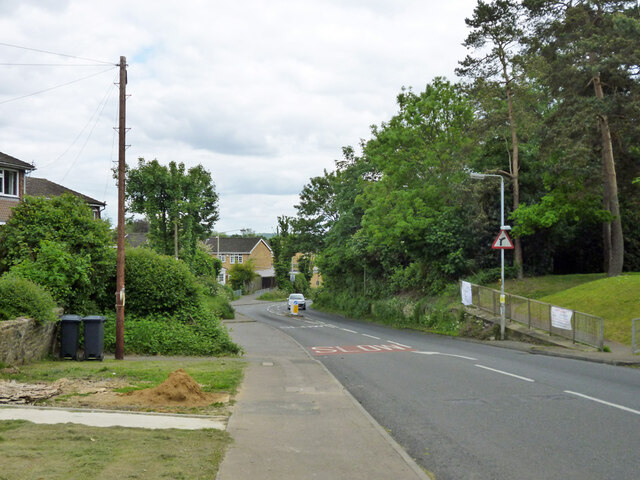
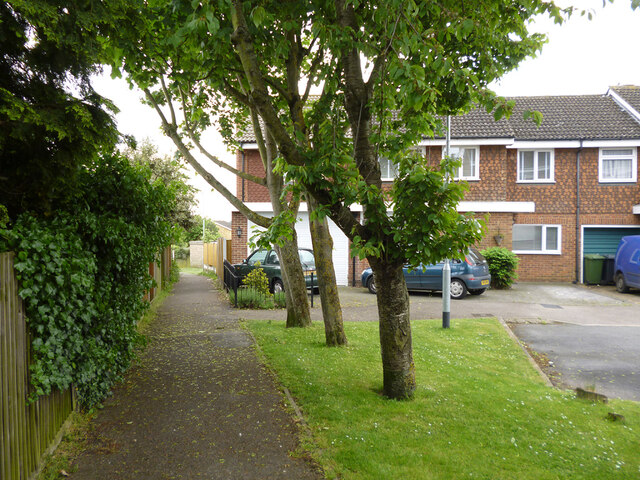
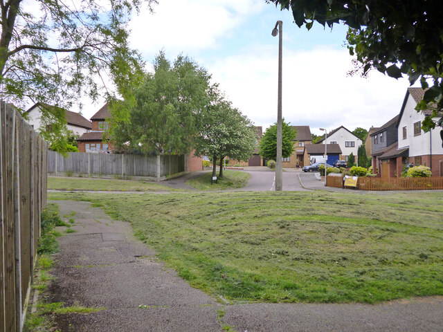
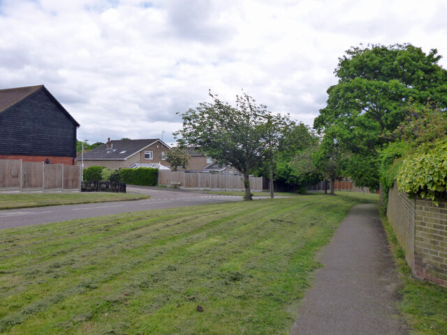
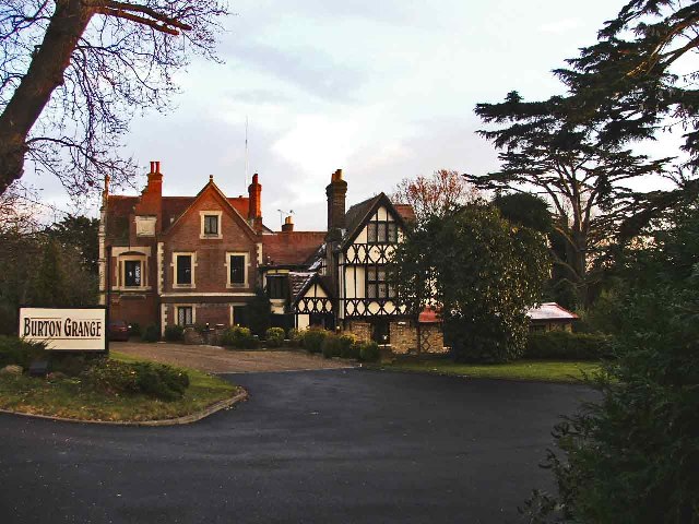
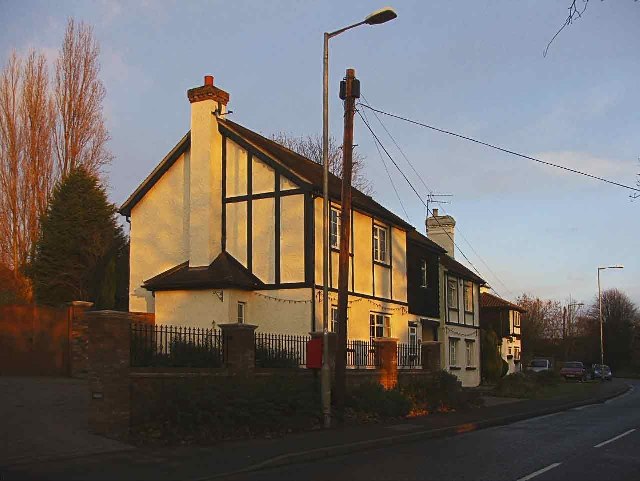
Thunderfield Grove Images

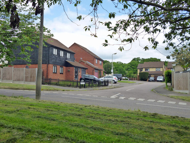
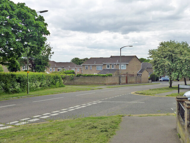
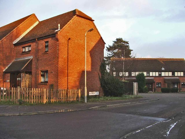
Images are sourced within 2km of 51.729731/-0.063683024 or Grid Reference TL3305. Thanks to Geograph Open Source API. All images are credited.

Broxbourne Wood interior
Path in Broxbourne Wood
Stream in Wormley Wood, Broxbourne Woods National Nature Reserve Wormley Wood is part of the Broxbourne Woods National Nature Reserve.

See Woodland Trust website: <span class="nowrap"><a title="https://www.woodlandtrust.org.uk/visiting-woods/woods/wormley-wood-nut-wood/" rel="nofollow ugc noopener" href="https://www.woodlandtrust.org.uk/visiting-woods/woods/wormley-wood-nut-wood/">Link</a><img style="margin-left:2px;" alt="External link" title="External link - shift click to open in new window" src="https://s1.geograph.org.uk/img/external.png" width="10" height="10"/></span> -

"One of only two areas of oak-hornbeam forest in the UK, Wormley Wood & Nut Wood are of European importance and are both listed as a Special Area of Conservation (SAC).

Wormley Wood is largely ancient woodland which has been coppiced from the medieval period."
Stream in Wormley Wood, Broxbourne Woods National Nature Reserve
Wormley Wood is part of the Broxbourne Woods National Nature Reserve. See Woodland Trust website: LinkExternal link - "One of only two areas of oak-hornbeam forest in the UK, Wormley Wood & Nut Wood are of European importance and are both listed as a Special Area of Conservation (SAC). Wormley Wood is largely ancient woodland which has been coppiced from the medieval period."
Path in  Wormley Wood, Broxbourne Woods National Nature Reserve Wormley Wood is part of the Broxbourne Woods National Nature Reserve.

See Woodland Trust website: <span class="nowrap"><a title="https://www.woodlandtrust.org.uk/visiting-woods/woods/wormley-wood-nut-wood/" rel="nofollow ugc noopener" href="https://www.woodlandtrust.org.uk/visiting-woods/woods/wormley-wood-nut-wood/">Link</a><img style="margin-left:2px;" alt="External link" title="External link - shift click to open in new window" src="https://s1.geograph.org.uk/img/external.png" width="10" height="10"/></span> -

"One of only two areas of oak-hornbeam forest in the UK, Wormley Wood & Nut Wood are of European importance and are both listed as a Special Area of Conservation (SAC).

Wormley Wood is largely ancient woodland which has been coppiced from the medieval period."
Path in Wormley Wood, Broxbourne Woods National Nature Reserve
Wormley Wood is part of the Broxbourne Woods National Nature Reserve. See Woodland Trust website: LinkExternal link - "One of only two areas of oak-hornbeam forest in the UK, Wormley Wood & Nut Wood are of European importance and are both listed as a Special Area of Conservation (SAC). Wormley Wood is largely ancient woodland which has been coppiced from the medieval period."
Dig Dag Hill, Cheshunt
Path from Adamsfield to Longfield Lane, Cheshunt Passing the end of one of the several branches of Smarts Green.
Path from Adamsfield to Longfield Lane, Cheshunt
Passing the end of one of the several branches of Smarts Green.
Looking across Adamsfield to Springwood, Cheshunt
Adamsfield, Cheshunt A distributor road in this housing development, with all houses on side roads.
Adamsfield, Cheshunt
A distributor road in this housing development, with all houses on side roads.
Bencroft, Cheshunt A turning off Adamsfield.
Bencroft, Cheshunt
A turning off Adamsfield.
Path along Adamsfield, Cheshunt Adamsfield is a distributor road in this housing development, with all houses on side roads.
Path along Adamsfield, Cheshunt
Adamsfield is a distributor road in this housing development, with all houses on side roads.
Adamsfield, Cheshunt A distributor road in this housing development, with all houses on side roads.
Adamsfield, Cheshunt
A distributor road in this housing development, with all houses on side roads.
Longfield Lane, Cheshunt Longfield Lane, Cheshunt, looking west from the junction with Crown Road
Longfield Lane, Cheshunt
Longfield Lane, Cheshunt, looking west from the junction with Crown Road
Coleridge Close, Peakes Lane, Cheshunt Coleridge Close, off Peakes Lane, Cheshunt
Coleridge Close, Peakes Lane, Cheshunt
Coleridge Close, off Peakes Lane, Cheshunt
Peakes Lane, Cheshunt Peakes Lane, Cheshunt, looking south-west
Peakes Lane, Cheshunt
Peakes Lane, Cheshunt, looking south-west
Burton Grange, Rags Lane, Cheshunt This historic building is used as a Restaurant.  There is also a nursery specialising in tropical hibiscus
Burton Grange, Rags Lane, Cheshunt
This historic building is used as a Restaurant. There is also a nursery specialising in tropical hibiscus
Houses in Rags Lane, Cheshunt Attractive houses in Rags Lane, Cheshunt, Hertfordshire, opposite Burton Grange
Houses in Rags Lane, Cheshunt
Attractive houses in Rags Lane, Cheshunt, Hertfordshire, opposite Burton Grange
Junction of The Laurels with Hammond Street Junction of The Laurels with Hammond Street, Cheshunt, Hertfordshire
Junction of The Laurels with Hammond Street
Junction of The Laurels with Hammond Street, Cheshunt, Hertfordshire
The Laurels, Cheshunt, Hertfordshire The Laurels, looking south-west
The Laurels, Cheshunt, Hertfordshire
The Laurels, looking south-west
Show me another place!

Thunderfield Grove is located at Grid Ref: TL3305 (Lat: 51.729731, Lng: -0.063683024)

Administrative County: Hertfordshire

District: Broxbourne

Police Authority: Hertfordshire

What 3 Words

///spoil.seated.badly. Near Broxbourne, Hertfordshire

Related Wikis

Broxbourne (UK Parliament constituency)

Broxbourne is a constituency in Hertfordshire represented in the House of Commons of the UK Parliament since 2005 by Charles Walker of the Conservative...

Paradise Wildlife Park

Paradise Wildlife Park is a family-run wildlife park and charity located in Broxbourne, Hertfordshire, England. Previously known as Broxbourne Zoo, it...

Wormleybury

Wormleybury is an 18th-century house surrounded by a landscaped park of 57 ha (140 acres) near Wormley in Broxbourne, Hertfordshire, England, a few miles...

Wormley-Hoddesdonpark Wood South

Wormley-Hoddesdonpark Wood South is a 192.5 hectares (476 acres) is a biological site of Special Scientific Interest near Cheshunt in Hertfordshire. It...

Nearby Amenities

Located within 500m of 51.729731,-0.063683024
Created By: YahooApplet 1.0
Lat/Long: 51.7266/-0.0585731
Power: tower
Lat/Long: 51.7255618/-0.063815
Power: tower
Source: Yahoo
Lat/Long: 51.731515/-0.0658107
Barrier: kissing_gate
Lat/Long: 51.7332454/-0.0615845
Barrier: kissing_gate
Lat/Long: 51.7332657/-0.0629522
Oak Tree Farm
Place: farm
Lat/Long: 51.7321434/-0.0617221
Barrier: yes
Lat/Long: 51.7300867/-0.0588461
Marker: post
Utility: oil
Lat/Long: 51.7277552/-0.0588188
Marker: post
Utility: oil
Lat/Long: 51.7277609/-0.058874
Marker: post
Utility: oil
Lat/Long: 51.7277632/-0.0589071
Marker: post
Utility: oil
Lat/Long: 51.7277643/-0.0589273
Barrier: stile
Lat/Long: 51.7313552/-0.0594086
Barrier: stile
Lat/Long: 51.7279559/-0.0588156
The data included in this document is from www.openstreetmap.org. The data is made available under ODbL.

Have you been to Thunderfield Grove?

Leave your review of Thunderfield Grove below (or comments, questions and feedback).