Dovehouse Close Spinney

Wood, Forest in Huntingdonshire Huntingdonshire

England

Dovehouse Close Spinney

Long Drove, Pidley Fen This track leads to farmland at Pidley Fen and to Fen House.
Long Drove, Pidley Fen Credit: Bob Jones

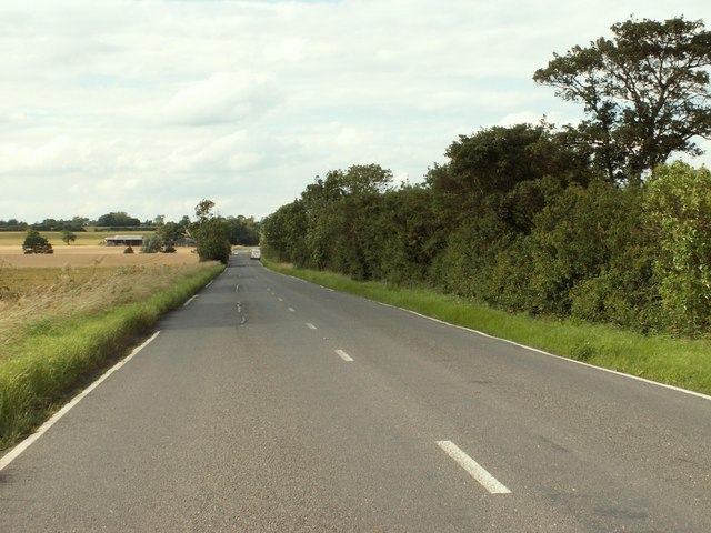
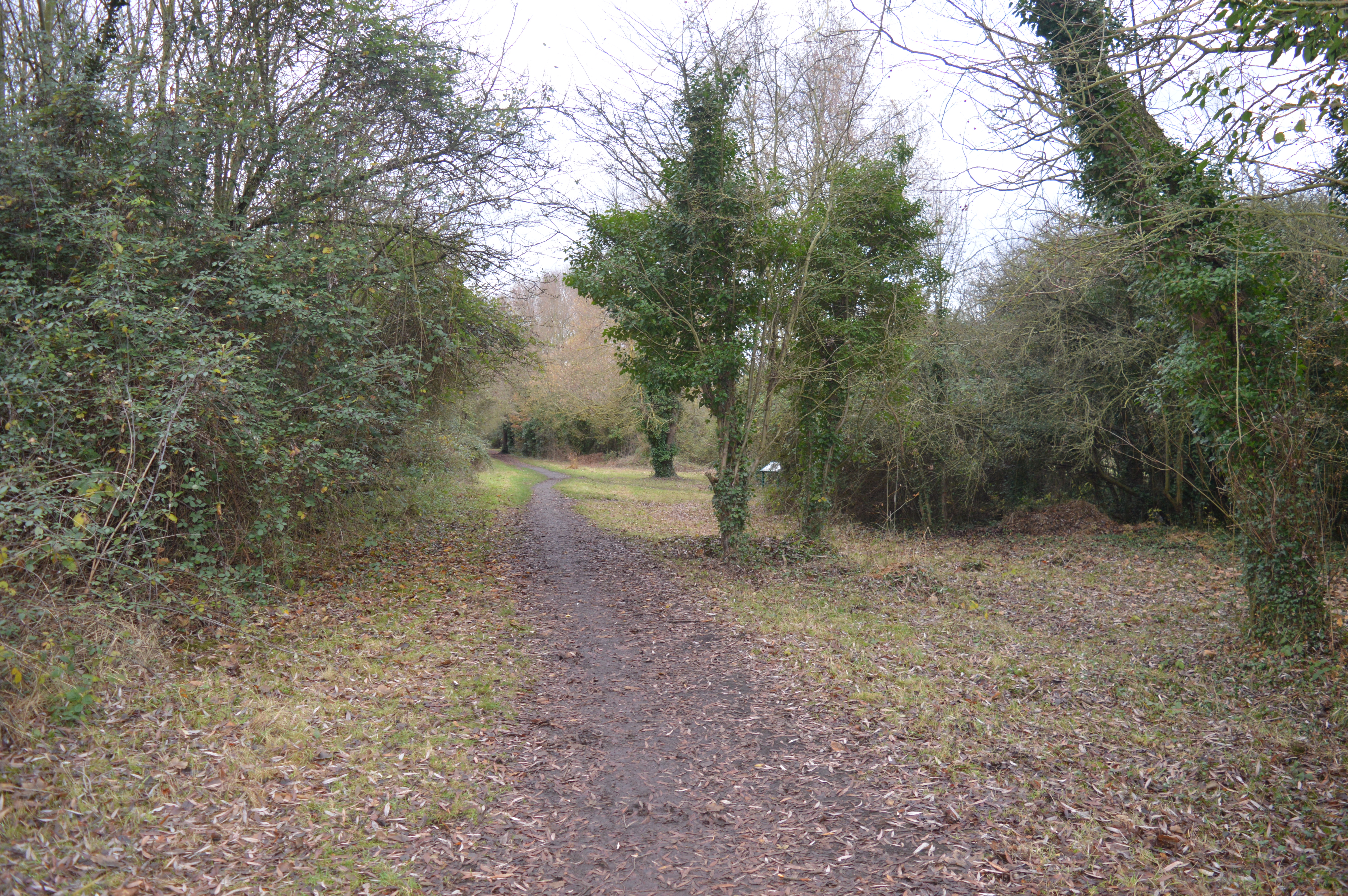
Dovehouse Close Spinney is a serene and enchanting woodland located in Huntingdonshire, a historic county in the eastern part of England. Nestled in the charming village of Wood, this forested area spans approximately 5 acres, providing a peaceful retreat for nature enthusiasts and those seeking solace in the great outdoors.

The spinney is characterized by its dense canopy of towering oak, beech, and ash trees, which create a cool and shaded atmosphere even on the hottest summer days. The forest floor is carpeted with an array of wildflowers, including bluebells, primroses, and wood anemones, painting the landscape with vibrant hues during the springtime.

A network of well-maintained footpaths winds through the spinney, inviting visitors to explore and discover its hidden treasures. The chirping of birds, such as robins, blackbirds, and thrushes, fills the air, while squirrels scamper among the branches, adding a touch of liveliness to the peaceful setting.

Dovehouse Close Spinney is not only a sanctuary for wildlife but also serves as an outdoor classroom for local schools and nature education programs. Its diverse ecosystem provides an ideal learning environment for students to study flora and fauna, and its tranquil surroundings create a calming atmosphere for mindfulness exercises and forest bathing.

With its natural beauty and tranquil ambiance, Dovehouse Close Spinney is a true gem nestled in the heart of Huntingdonshire. Whether one seeks solitude, a connection with nature, or an educational experience, this woodland offers a haven of tranquility and wonder for all who visit.

If you have any feedback on the listing, please let us know in the comments section below.

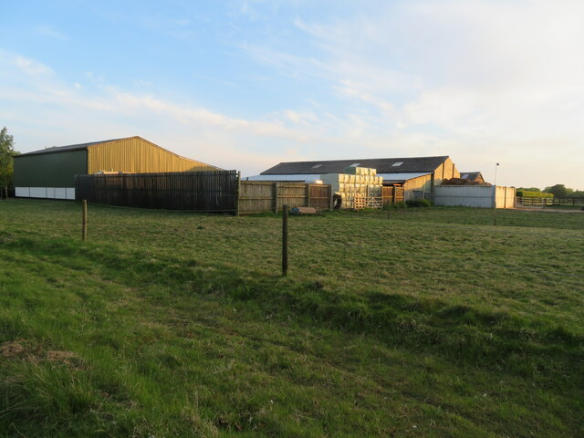
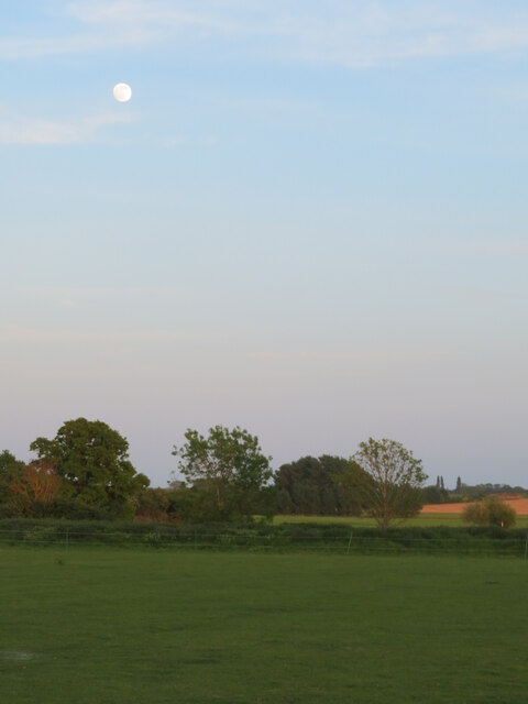
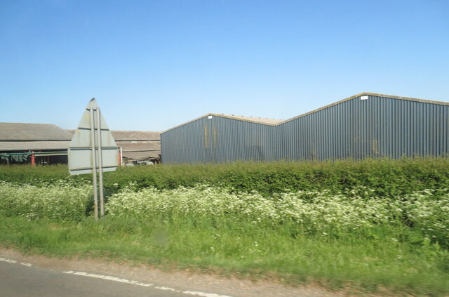
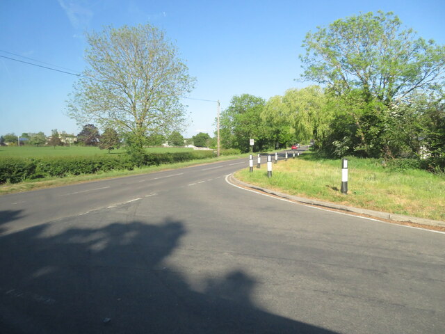
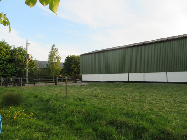
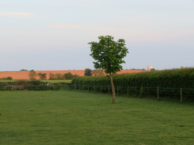
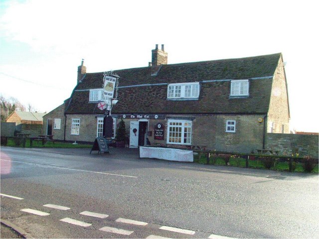
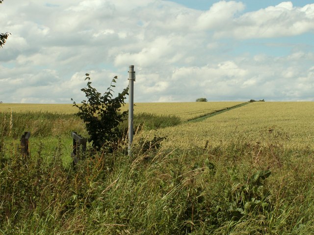
Dovehouse Close Spinney Images

Images are sourced within 2km of 52.388885/-0.037902978 or Grid Reference TL3378. Thanks to Geograph Open Source API. All images are credited.

Long Drove, Pidley Fen This track leads to farmland at Pidley Fen and to Fen House.
Long Drove, Pidley Fen
This track leads to farmland at Pidley Fen and to Fen House.
Pathfinder walking trail in the parish of Pidley cum Fenton The Pathfinder trail is a circular walk of around 46miles through the arable lands and Ouse wash land of Cambridgeshire. <span class="nowrap"><a title="http://en.wikipedia.org/wiki/Pathfinder_March" rel="nofollow ugc noopener" href="http://en.wikipedia.org/wiki/Pathfinder_March">Link</a><img style="margin-left:2px;" alt="External link" title="External link - shift click to open in new window" src="https://s1.geograph.org.uk/img/external.png" width="10" height="10"/></span>
Pathfinder walking trail in the parish of Pidley cum Fenton
The Pathfinder trail is a circular walk of around 46miles through the arable lands and Ouse wash land of Cambridgeshire. LinkExternal link
Somersham, West End Farm buildings and pasture.
Somersham, West End
Farm buildings and pasture.
Full moon at Somersham Looking south from Heath View Close.
Full moon at Somersham
Looking south from Heath View Close.
Buildings at Park Farm On the B1086 south of Somersham.
Buildings at Park Farm
On the B1086 south of Somersham.
Course of old railway Looking NW along the old Great Eastern Railway, Somersham to Warboys and Ramsey.
The line opened in 1848. Now a golf course but this section is used as the Rothschild Way and Pathfinder Way long distance paths.
See also <a href="https://www.geograph.org.uk/photo/4703849">TL3678 : Flooded former railway cutting in Somersham, Cambridgeshire</a> <a href="https://www.geograph.org.uk/photo/4187981">TL3678 : Course of former railway, Somersham, Hunts</a>
Course of old railway
Looking NW along the old Great Eastern Railway, Somersham to Warboys and Ramsey. The line opened in 1848. Now a golf course but this section is used as the Rothschild Way and Pathfinder Way long distance paths. See also TL3678 : Flooded former railway cutting in Somersham, Cambridgeshire TL3678 : Course of former railway, Somersham, Hunts
The B1089 meets the B1086 west of Somersham Rural road junction.
The B1089 meets the B1086 west of Somersham
Rural road junction.
Farm barn, near Somersham Off Heath View Close.
Farm barn, near Somersham
Off Heath View Close.
Farmland at Somersham Looking south from Heath View Close. Note two water towers on the right in the distance at Bluntisham in <a href="https://www.geograph.org.uk/gridref/TL3675">TL3675</a>.
Farmland at Somersham
Looking south from Heath View Close. Note two water towers on the right in the distance at Bluntisham in TL3675.
Pidley Church Sunset Beautiful "fenland" sunset, taken from behind the church in Pidley
Pidley Church Sunset
Beautiful "fenland" sunset, taken from behind the church in Pidley
Entrance to Fenton Manor Farm
All Saints, Pidley Pidley has a beautiful church.  Pidley also has the Pidley Mountain Rescue Team!  In the midst of the flattest landscape in the UK, this charitable team is a major fund raiser for charity.
All Saints, Pidley
Pidley has a beautiful church. Pidley also has the Pidley Mountain Rescue Team! In the midst of the flattest landscape in the UK, this charitable team is a major fund raiser for charity.
The Mad Cat Inn at Pidley
The entrance to Fenton Manor Farm
Part of the course at Lakeside Lodge Golf Centre This golf course has 8 lakes and over 15000 trees. The wind farm near Warboys can be seen in the far distance.
Part of the course at Lakeside Lodge Golf Centre
This golf course has 8 lakes and over 15000 trees. The wind farm near Warboys can be seen in the far distance.
Public footpath to Pidley church
Pidley Sheep Lane, the B.1040
A view of Cuckoo Bridge Nursery from the B.1086
Show me another place!

Dovehouse Close Spinney is located at Grid Ref: TL3378 (Lat: 52.388885, Lng: -0.037902978)

Administrative County: Cambridgeshire

District: Huntingdonshire

Police Authority: Cambridgeshire

What 3 Words

///bricks.device.magazines. Near Somersham, Cambridgeshire

Related Wikis

Pidley

Pidley is a small village in Cambridgeshire, England. Pidley lies approximately 7 miles (11 km) north-east of Huntingdon. Together with the neighbouring...

Somersham Town F.C.

Somersham Town Football Club is a football club based in Somersham, near St Ives in Cambridgeshire, England. They club are members of the Cambridgeshire...

Warboys

Warboys is a large village and civil parish in the Huntingdonshire district of Cambridgeshire, England, 7 miles (11 km) north-east of Huntingdon. ��2...

Somersham

Somersham is a village and civil parish in Cambridgeshire, England. Somersham lies approximately 9 miles (14 km) east of Huntingdon and 4 miles (6 km)...

Woodhurst

Woodhurst is a village and civil parish in Cambridgeshire, England. Woodhurst lies approximately 5 miles (8 km) north-east of Huntingdon and just north...

Somersham Local Nature Reserve

Somersham Local Nature Reserve is an 8.9 hectare Local Nature Reserve in Somersham in Cambridgeshire. It is owned and managed by Cambridgeshire County...

Warboys Town F.C.

Warboys Town Football Club is a football club based in Warboys, near Ramsey in Cambridgeshire, England. The club are currently members of the Peterborough...

Somersham railway station

Somersham railway station was a station in Somersham, Cambridgeshire on the Great Eastern Railway between March and St Ives. There was also a branch line...

Nearby Amenities

Located within 500m of 52.388885,-0.037902978
Entrance: yes
Lat/Long: 52.39167/-0.0365596
Barrier: yes
Lat/Long: 52.3868619/-0.0415946
The data included in this document is from www.openstreetmap.org. The data is made available under ODbL.

Have you been to Dovehouse Close Spinney?

Leave your review of Dovehouse Close Spinney below (or comments, questions and feedback).