Boldero's Wood

Wood, Forest in Hertfordshire North Hertfordshire

England

Boldero's Wood

Holy Trinity Church, Throcking The Church has an unusual tower which was rebuilt in 1660. Local legend has it that the original was damaged by Cromwell's Artillery. English Heritage has given £78,000 to repair the leaking roof and the collapsing floors of the tower.
Holy Trinity Church, Throcking Credit: Melvyn Cousins

Boldero's Wood is a picturesque woodland located in Hertfordshire, England. Covering an area of approximately 50 acres, it is an enchanting haven where nature flourishes. The wood is named after the Boldero family, who were the original owners of the land.

The wood boasts a diverse range of flora and fauna, making it a popular destination for nature enthusiasts and wildlife lovers. Tall majestic trees, including oak, beech, and birch, dominate the wood, creating a dense canopy that filters sunlight and provides a cool, shaded environment below. The forest floor is carpeted with a rich variety of wildflowers, adding splashes of color to the greenery.

Boldero's Wood is renowned for its tranquil atmosphere, offering visitors a peaceful retreat away from the bustling city life. It is a haven for wildlife, attracting various bird species, such as woodpeckers, owls, and thrushes. Squirrels can be spotted darting between trees, while foxes and rabbits occasionally make appearances.

The wood is a paradise for walkers and hikers, with a network of well-maintained trails winding through its depths. These paths allow visitors to explore the wood at their own pace, taking in the beauty of the surroundings while enjoying the fresh air. Additionally, there are designated picnic areas where visitors can relax and enjoy a meal amidst the serene surroundings.

Boldero's Wood is a true gem in Hertfordshire, offering a magical experience for those seeking solace in nature. Its natural beauty and diverse wildlife make it a cherished destination for locals and tourists alike.

If you have any feedback on the listing, please let us know in the comments section below.

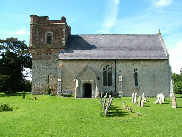
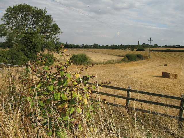
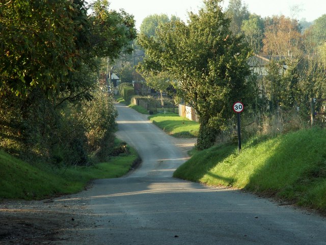
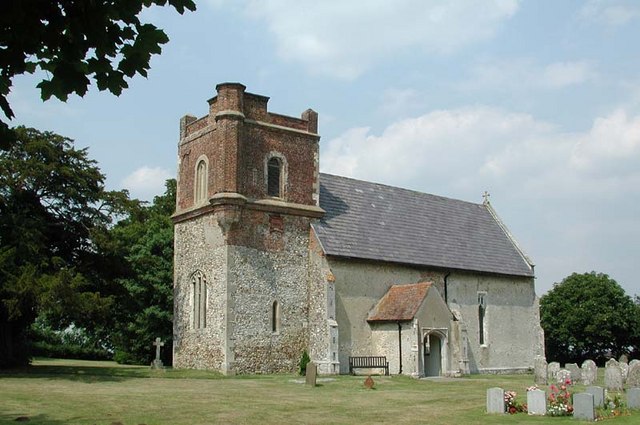
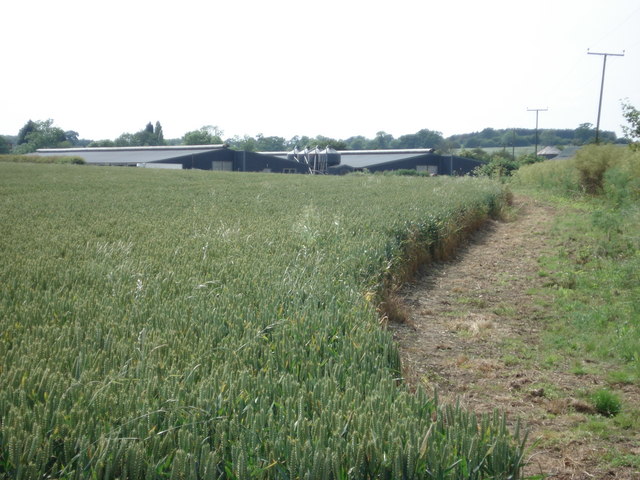
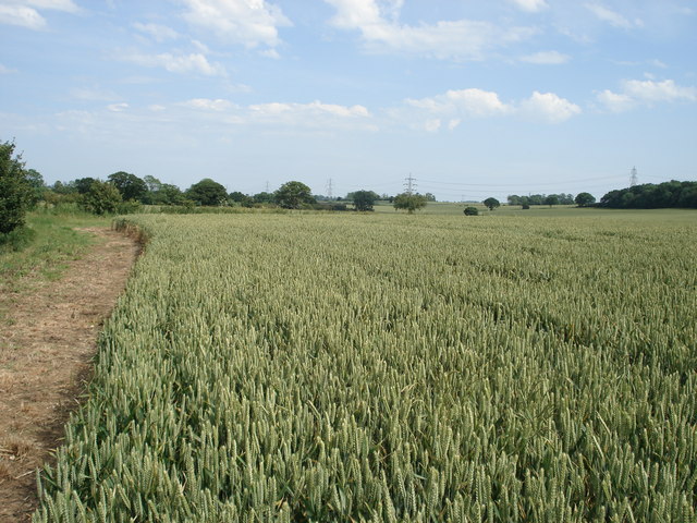
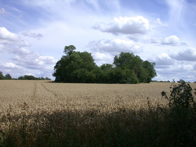
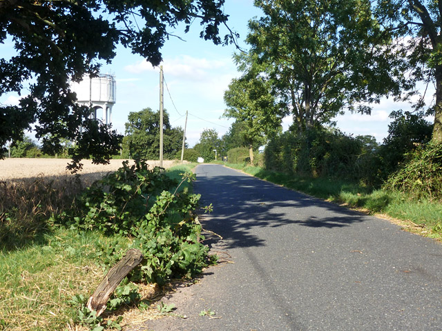
Boldero's Wood Images

Images are sourced within 2km of 51.959386/-0.056917021 or Grid Reference TL3330. Thanks to Geograph Open Source API. All images are credited.

Holy Trinity Church, Throcking The Church has an unusual tower which was rebuilt in 1660. Local legend has it that the original was damaged by Cromwell's Artillery. English Heritage has given £78,000 to repair the leaking roof and the collapsing floors of the tower.
Holy Trinity Church, Throcking
The Church has an unusual tower which was rebuilt in 1660. Local legend has it that the original was damaged by Cromwell's Artillery. English Heritage has given £78,000 to repair the leaking roof and the collapsing floors of the tower.
Farmland near Buntingford A footpath to Park Farm Industrial Estate and Buntingford can be seen cutting diagonally across the fields in the photo.  A Burdock stands out in the foreground.  The flower heads distribute the seed by sticking to passing animals - great fun to throw at your friends clothes when you're a child.
Farmland near Buntingford
A footpath to Park Farm Industrial Estate and Buntingford can be seen cutting diagonally across the fields in the photo. A Burdock stands out in the foreground. The flower heads distribute the seed by sticking to passing animals - great fun to throw at your friends clothes when you're a child.
Harvesting Combine harvester trundles across a field mowing the wheat on a Sunday evening.  In the foreground is a bale of straw.
Harvesting
Combine harvester trundles across a field mowing the wheat on a Sunday evening. In the foreground is a bale of straw.
Safely Gathered In Even straw has a value.  After the wheat has gone to make bread the straw is kept to feed animals over the winter.  In the barn there are large cylindrical bales and traditional rectangular bales.  The reason for both types of baling is to meet the needs of different customers.  A small stable run by a single person will only be able to handle small rectangular bales.
Safely Gathered In
Even straw has a value. After the wheat has gone to make bread the straw is kept to feed animals over the winter. In the barn there are large cylindrical bales and traditional rectangular bales. The reason for both types of baling is to meet the needs of different customers. A small stable run by a single person will only be able to handle small rectangular bales.
Bush Wood The lane leads to Hyde Hall Farm.
Bush Wood
The lane leads to Hyde Hall Farm.
The hamlet of Mill End, Herts. This shows the start of Mill End, travelling north.
The hamlet of Mill End, Herts.
This shows the start of Mill End, travelling north.
Holy Trinity, Throcking, Herts
New chicken sheds at Lye End Farm
View towards Ellen Green
Borage crop at Mill Hill, Chipping
Lodge Farm, Southern Green
A Little Wood in a Wheat Field
Chipping: Ermine Street This was originally the route of the Roman road that connected London with Lincoln and York. In modern times it became the A10, but since the construction of the Buntingford bypass this section is now declassified. The brick walls to the sides are the parapets of the bridge taking the road over the River Rib.
Chipping: Ermine Street
This was originally the route of the Roman road that connected London with Lincoln and York. In modern times it became the A10, but since the construction of the Buntingford bypass this section is now declassified. The brick walls to the sides are the parapets of the bridge taking the road over the River Rib.
Hazards of harvest time A high load of straw had left a lot of straw behind and had brought down a few tree limbs, as this one here.
Hazards of harvest time
A high load of straw had left a lot of straw behind and had brought down a few tree limbs, as this one here.
Throcking Road, Cottered
Approaching Baldock Road in Cottered
Houses on Baldock Road, Cottered
Track across the fields, Cottered
Show me another place!

Boldero's Wood is located at Grid Ref: TL3330 (Lat: 51.959386, Lng: -0.056917021)

Administrative County: Hertfordshire

District: North Hertfordshire

Police Authority: Hertfordshire

What 3 Words

///surging.submerge.hunt. Near Buntingford, Hertfordshire

Related Wikis

Throcking

Throcking is a village and former civil parish, now in the parish of Cottered, in the East Hertfordshire district, in the county of Hertfordshire, England...

Broadfield, Hertfordshire

Broadfield is a hamlet and former civil parish, now in the parish of Cottered, in the East Hertfordshire district, in the county of Hertfordshire, England...

Cottered

Cottered is a village and civil parish 3 miles (4.8 km) west of Buntingford and 6 miles (9.7 km) east of Baldock in the East Hertfordshire District of...

Freman College

Freman College is an upper school and sixth form with academy status in Buntingford, Hertfordshire, England. It was established as Ward Freman School in...

Chipping, Hertfordshire

Chipping is a hamlet in the civil parish of Buckland in the East Hertfordshire district, in the county of Hertfordshire, England. Situated along the A10...

Red House, Buntingford

The Red House is a Queen Anne style house built around 1710 opposite the intersection of Norfolk Road and High Street in Buntingford, Hertfordshire, England...

Buntingford Manor House

Buntingford Manor House is an 18th-century building in the town of Buntingford, in Hertfordshire, England. It is a Grade II listed building. == Usage... ==

Benson Memorial Church

The Benson Memorial Church, dedicated to St Richard of Chichester, is an English Roman Catholic church in the Hertfordshire town of Buntingford. Its name...

Nearby Amenities

Located within 500m of 51.959386,-0.056917021
Design: barrel
Power: tower
Source: Bing
Source Design: survey
Lat/Long: 51.9573391/-0.0562404
Design: barrel
Power: tower
Source: estimated from footpath
Source Design: survey
Lat/Long: 51.9583415/-0.0520084
Power: tower
Ref: 4TB 35
Source: Bing
Source Ref: interpolation
Lat/Long: 51.9609719/-0.0574366
Power: tower
Ref: 4TB 36
Source: Bing
Source Ref: interpolation
Lat/Long: 51.9599811/-0.0632087
Power: tower
Ref: 4TB 34
Source Ref: interpolation
Lat/Long: 51.9619059/-0.0518981
Power: tower
Source: Bing
Lat/Long: 51.9562295/-0.0607733
Material: wood
Power: pole
Lat/Long: 51.9564483/-0.0599634
Material: wood
Power: pole
Lat/Long: 51.9559235/-0.0571766
Material: wood
Power: pole
Lat/Long: 51.9554731/-0.0556705
Material: wood
Power: pole
Lat/Long: 51.9563222/-0.0585487
Material: wood
Power: pole
Lat/Long: 51.9565615/-0.0614279
The data included in this document is from www.openstreetmap.org. The data is made available under ODbL.

Have you been to Boldero's Wood?

Leave your review of Boldero's Wood below (or comments, questions and feedback).