Wryde Plantation

Wood, Forest in Cambridgeshire

England

Wryde Plantation

Ripening wheatfield With windmills in the distance
Ripening wheatfield Credit: Eirian Evans

The requested URL returned error: 429 Too Many Requests

If you have any feedback on the listing, please let us know in the comments section below.

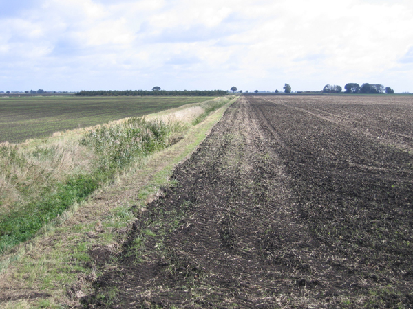
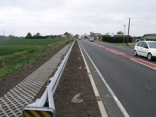
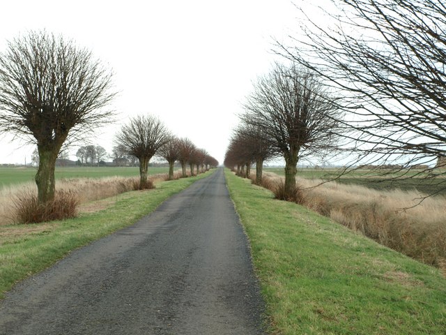
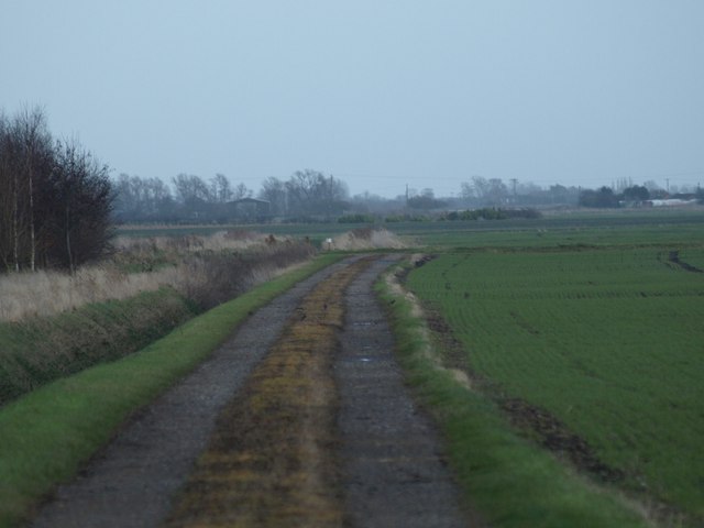
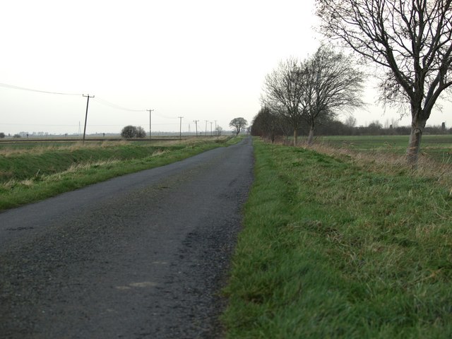
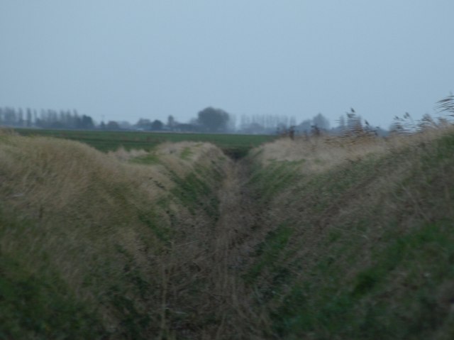
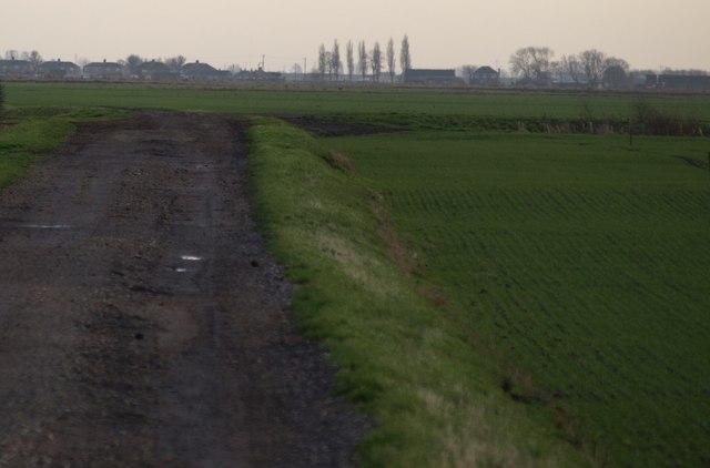
Wryde Plantation Images

Images are sourced within 2km of 52.628673/-0.031936018 or Grid Reference TF3305. Thanks to Geograph Open Source API. All images are credited.

Ripening wheatfield With windmills in the distance
Ripening wheatfield
With windmills in the distance
View from New Cut, B1167, Thorney, Cambs – E towards Wryde Croft.
View from New Cut, B1167, Thorney, Cambs
– E towards Wryde Croft.
Thorney Toll The toll at Thorney Toll is no longer charged, the busy A47 now by-passes Thorney just west of here.
Thorney Toll
The toll at Thorney Toll is no longer charged, the busy A47 now by-passes Thorney just west of here.
A Corner A typical 90 degree bend on an otherwise straight fenland road.
A Corner
A typical 90 degree bend on an otherwise straight fenland road.
Corner Farm Corner Farm stands on the corner of this narrow fen road and the A47.
Corner Farm
Corner Farm stands on the corner of this narrow fen road and the A47.
Private water You can just see a heron by the far bank, who presumably has a day ticket (see <a href="https://www.geograph.org.uk/photo/623786">TF3404 : Heron, fishing on New Wryde Drain</a>)
Private water
You can just see a heron by the far bank, who presumably has a day ticket (see TF3404 : Heron, fishing on New Wryde Drain)
Welcome to - Peterborough? The Peterborough unitary authority contains large chunks of rural fenland as well as the City of Peterborough itself. Here the A47 enters the parish of Thorney, some 15km from the city centre.
Welcome to - Peterborough?
The Peterborough unitary authority contains large chunks of rural fenland as well as the City of Peterborough itself. Here the A47 enters the parish of Thorney, some 15km from the city centre.
Dalmark Grain Store, Thorney (Trust me on the DALM!) A company trading in many crops, especially peas and beans <span class="nowrap"><a title="http://www.dalmark.co.uk/" rel="nofollow ugc noopener" href="http://www.dalmark.co.uk/">Link</a><img style="margin-left:2px;" alt="External link" title="External link - shift click to open in new window" src="https://s1.geograph.org.uk/img/external.png" width="10" height="10"/></span>
Dalmark Grain Store, Thorney
(Trust me on the DALM!) A company trading in many crops, especially peas and beans LinkExternal link
Heron, fishing on New Wryde Drain Seemingly oblivious to the fact that it is <a href="https://www.geograph.org.uk/photo/623147">TF3404 : Private water</a>
Heron, fishing on New Wryde Drain
Seemingly oblivious to the fact that it is TF3404 : Private water
Thorney Bypass Eastern Roundabout Got pulled by the police whilst taking this one. Well if you are looking at this Mr. nice policeman you can see that it is a hobby and I'm not getting paid for it.
Thorney Bypass Eastern Roundabout
Got pulled by the police whilst taking this one. Well if you are looking at this Mr. nice policeman you can see that it is a hobby and I'm not getting paid for it.
Wallace's Drove
Wallace's Drove
Farm Track Taken at Nutsgrove farm, Wallace's Drove.
Farm Track
Taken at Nutsgrove farm, Wallace's Drove.
Fenland Road It's all in the title.
Fenland Road
It's all in the title.
In A Ditch Dry fenland ditch looking east
In A Ditch
Dry fenland ditch looking east
Fenland Track Shows how the fields shrink and get lower whilst the road gets built up higher over the years.
Fenland Track
Shows how the fields shrink and get lower whilst the road gets built up higher over the years.
Overgrown Ditch One of many.
Overgrown Ditch
One of many.
Sluice opposite East Wryde Farm
Turf Fen  Bridge
Turf Fen Bridge
Show me another place!

Wryde Plantation is located at Grid Ref: TF3305 (Lat: 52.628673, Lng: -0.031936018)

Division: Isle of Ely

Unitary Authority: Peterborough

Police Authority: Cambridgeshire

What 3 Words

///resonated.rapport.collected. Near Thorney, Cambridgeshire

Nearby Locations

Wryde Plantation

Related Wikis

Thorney Toll

Thorney Toll is a hamlet in Fenland District, in the Isle of Ely, Cambridgeshire, England. The hamlet sits either side of the A47 between Guyhirn and Peterborough...

Wryde railway station

Wryde railway station was a station serving Wryde, Cambridgeshire on the Midland and Great Northern Joint Railway between Wisbech and Peterborough. Originally...

Murrow West railway station

Murrow West railway station was a station on the Great Northern and Great Eastern Joint Railway in Murrow, Cambridgeshire between Spalding, England, and...

French Drove and Gedney Hill railway station

French Drove and Gedney Hill was a station on the Great Northern and Great Eastern Joint Railway near Gedney Hill in south Lincolnshire on the line between...

Nearby Amenities

Located within 500m of 52.628673,-0.031936018
Generator Method: wind_turbine
Generator Source: wind
Generator Type: horizontal_axis
Power: generator
Lat/Long: 52.6300935/-0.0299254
The data included in this document is from www.openstreetmap.org. The data is made available under ODbL.

Have you been to Wryde Plantation?

Leave your review of Wryde Plantation below (or comments, questions and feedback).