Astley
Settlement in Lancashire
England
Astley

Astley is a small village located in the county of Lancashire, England. Situated in the borough of Chorley, it lies approximately 6 miles northwest of the town of Bolton and 10 miles northeast of the city of Wigan. The village is surrounded by picturesque countryside, offering residents and visitors the opportunity to enjoy scenic walks and outdoor activities.
Astley is known for its rich history, dating back to medieval times. The village features several historic buildings, including the Grade II listed Astley Hall, a stunning manor house that dates back to the 16th century. The hall boasts beautiful gardens and is open to the public, providing a glimpse into the area's past.
The village has a close-knit community and offers amenities such as a primary school, a village hall, and a local pub, which serves as a social gathering place for residents. Additionally, Astley is well-connected to surrounding areas by road, with easy access to major highways such as the M61 and M6.
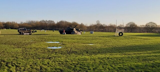
The surrounding area offers plenty of recreational opportunities, with nearby attractions including the picturesque Rivington Pike, a popular spot for hiking and panoramic views of the Lancashire countryside. The village is also within close proximity to Haigh Hall Country Park, which features extensive parkland, woodlands, and a golf course.
In summary, Astley is a charming village in Lancashire, offering a mix of historical significance and natural beauty. With its friendly community and convenient location, it provides a peaceful and idyllic setting for residents and visitors alike.
If you have any feedback on the listing, please let us know in the comments section below.
Astley Images
Images are sourced within 2km of 53.500026/-2.4590759 or Grid Reference SD6900. Thanks to Geograph Open Source API. All images are credited.


Astley is located at Grid Ref: SD6900 (Lat: 53.500026, Lng: -2.4590759)
Unitary Authority: Wigan
Police Authority: Greater Manchester
What 3 Words
///before.grand.dart. Near Tyldesley, Manchester
Related Wikis
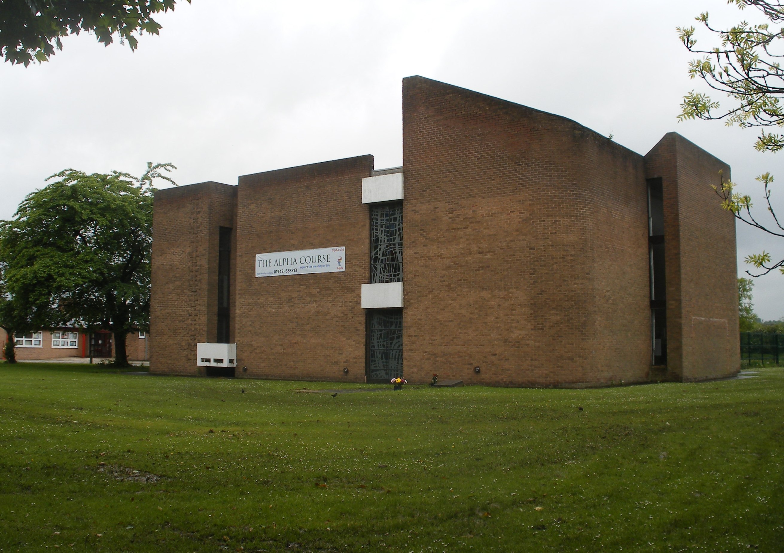
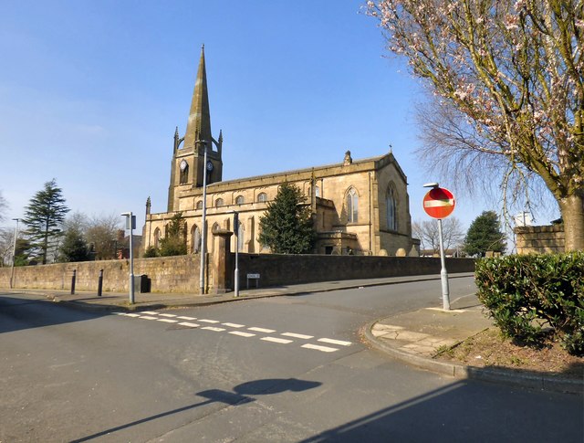
St Stephen's Church, Astley
St Stephen's Church is a parish church in Astley, Greater Manchester, England. It is an active Anglican church built in 1968 and part of Leigh deanery...

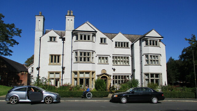
Damhouse
Damhouse or Astley Hall is a Grade II* Listed building in Astley, Greater Manchester, England. It has served as a manor house, sanatorium, and, since restoration...
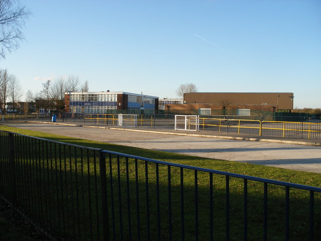
St Mary's Catholic High School, Astley
St Mary's Catholic High School is a Roman Catholic secondary school located in Astley, in the Metropolitan Borough of Wigan, Greater Manchester, England...

New Hall moated site
New Hall moated site is a scheduled monument in Tyldesley, Greater Manchester, England. It includes a moat and an island platform on which a modern house...
Nearby Amenities
Located within 500m of 53.500026,-2.4590759Have you been to Astley?
Leave your review of Astley below (or comments, questions and feedback).