Tetford Wood

Wood, Forest in Lincolnshire East Lindsey

England

Tetford Wood

Direction Sign – Signpost on Bluestone Heath Road in Tetford parish Located on the northwest side of the crossroads on Bluestone Heath Road at Tetford Hill, in Tetford parish. 4 arms and no finial. See also <a title="https://www.geograph.org.uk/photo/6676131" href="https://www.geograph.org.uk/photo/6676131">Link</a> and <a title="https://www.geograph.org.uk/photo/820855" href="https://www.geograph.org.uk/photo/820855">Link</a>.

Milestone Society National ID: LI_TF3276
Direction Sign – Signpost on Bluestone Heath Road in Tetford parish Credit: A Riley

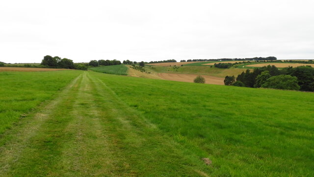
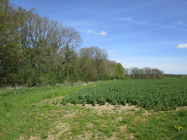
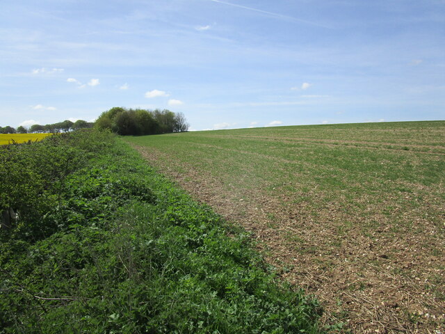
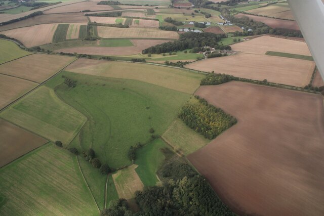
Tetford Wood is a picturesque woodland located in the county of Lincolnshire, England. It covers an area of approximately 100 acres and is situated near the village of Tetford. The wood is known for its diverse range of flora and fauna, making it a popular destination for nature enthusiasts and wildlife lovers.

The wood comprises mainly of deciduous trees such as oak, ash, beech, and birch, which create a stunning canopy of colors during the autumn months. There are also areas of coniferous trees, adding to the overall diversity of the wood. The forest floor is rich with a variety of wildflowers, including bluebells, primroses, and violets, which create a vibrant and enchanting atmosphere.

Tetford Wood is home to a wealth of wildlife, including several species of birds, such as woodpeckers, owls, and songbirds. The wood provides a habitat for mammals like deer, foxes, and badgers, which can often be spotted by visitors. The presence of a small stream running through the wood adds to the appeal, attracting a range of amphibians and insects.

The wood is well-maintained, with several walking trails and paths that allow visitors to explore and enjoy its natural beauty. It is a peaceful and tranquil location, providing a perfect escape from the hustle and bustle of everyday life. Whether it's a leisurely stroll, birdwatching, or simply immersing oneself in the calmness of nature, Tetford Wood offers a delightful experience for all.

If you have any feedback on the listing, please let us know in the comments section below.
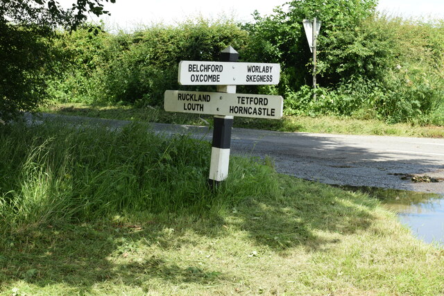
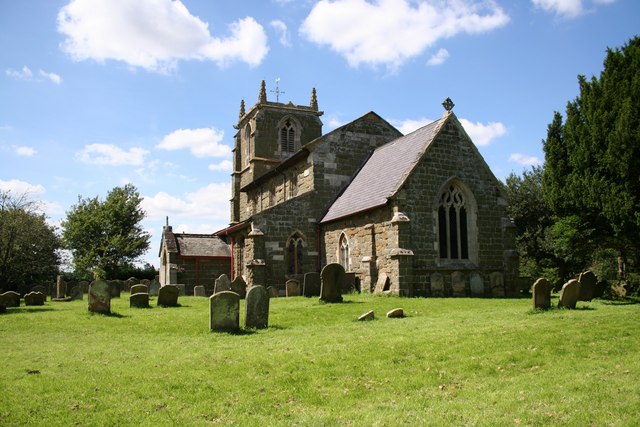
Tetford Wood Images

Images are sourced within 2km of 53.265403/-0.005455857 or Grid Reference TF3376. Thanks to Geograph Open Source API. All images are credited.

Direction Sign – Signpost on Bluestone Heath Road in Tetford parish Located on the northwest side of the crossroads on Bluestone Heath Road at Tetford Hill, in Tetford parish. 4 arms and no finial. See also <a title="https://www.geograph.org.uk/photo/6676131" href="https://www.geograph.org.uk/photo/6676131">Link</a> and <a title="https://www.geograph.org.uk/photo/820855" href="https://www.geograph.org.uk/photo/820855">Link</a>.

Milestone Society National ID: LI_TF3276
Direction Sign – Signpost on Bluestone Heath Road in Tetford parish
Located on the northwest side of the crossroads on Bluestone Heath Road at Tetford Hill, in Tetford parish. 4 arms and no finial. See also Link and Link. Milestone Society National ID: LI_TF3276
Direction Sign – Signpost at the junction of West Road and North Road in Tetford Located on the southeast side of the junction of West Road and North Road, in Tetford parish. 3 arms and no finial.

Milestone Society National ID: LI_TF3374
Direction Sign – Signpost at the junction of West Road and North Road in Tetford
Located on the southeast side of the junction of West Road and North Road, in Tetford parish. 3 arms and no finial. Milestone Society National ID: LI_TF3374
Church of St. Olave, Ruckland
Memento Mori: gravestones, Church of St. Olave, Ruckland
Church of St. Olave, Ruckland
Colourful garden, Keeper's Cottage, Worlaby
Track heading northwest passing Keeper's Cottage, Worlaby
Path running southwest from Worlaby to the Bluestone Heath Road
Bean field and Rookery Plantation
Alongside the road from Ruckland to the Bluestone Heath Road
Valley at Oxcombe: aerial 2023 (1)
Valley at Oxcombe: aerial 2023 (2)
Valley at Oxcombe: aerial 2023 (3) Little Oxcombe
Valley at Oxcombe: aerial 2023 (4) Little Oxcombe
Chalk Quarry, Tetford Hill: aerial 2023 (1)
Chalk Quarry, Tetford Hill: aerial 2023 (2)
Chalk Quarry, Tetford Hill: aerial 2023 (3)
Valley south of Worlaby: aerial 2023 (1)
Show me another place!

Tetford Wood is located at Grid Ref: TF3376 (Lat: 53.265403, Lng: -0.005455857)

Administrative County: Lincolnshire

District: East Lindsey

Police Authority: Lincolnshire

What 3 Words

///discount.boomed.described. Near Burwell, Lincolnshire

Nearby Locations

Home Covert Tetford Wood

Related Wikis

Bluestone Heath Road

The Bluestone Heath Road is an ancient route and ridgeway across the Lincolnshire Wolds in Lincolnshire, England. The surviving parts are somewhat fragmented...

Tetford

Tetford is a village and civil parish in the East Lindsey district of Lincolnshire, England. == History == Tetford is listed as "Tesforde" in the Domesday...

Ruckland

Ruckland is a village in the civil parish of Maidenwell, and about 6 miles (10 km) south from the town of Louth, in the East Lindsey district, in the county...

Oxcombe

Oxcombe is a small village in the civil parish of Maidenwell, in the East Lindsey district of Lincolnshire, England. It is situated 3 miles (5 km) west...

Nearby Amenities

Located within 500m of 53.265403,-0.005455857
Tetford Hill
Ele: 142
Natural: peak
Source: Bing
Lat/Long: 53.2661597/-0.0100064
Wood Barn
Place: farm
Source: Bing
Lat/Long: 53.2623767/-0.004438
The data included in this document is from www.openstreetmap.org. The data is made available under ODbL.

Have you been to Tetford Wood?

Leave your review of Tetford Wood below (or comments, questions and feedback).