Horse Common Plantation
Wood, Forest in Cambridgeshire South Cambridgeshire
England
Horse Common Plantation

Horse Common Plantation is a picturesque woodland located in the county of Cambridgeshire, England. Situated near the village of Horse Common, it spans an area of approximately 100 acres, making it a significant natural landmark in the region. The plantation is characterized by a diverse mix of deciduous and coniferous trees, creating a serene and tranquil atmosphere for visitors to enjoy.
The woodland is well-known for its rich biodiversity, offering a habitat for a wide range of flora and fauna. It is home to various species of birds, including woodpeckers, owls, and thrushes, making it a popular spot for birdwatchers. The forest floor is adorned with an array of wildflowers, adding vibrant colors to the landscape during the spring and summer months.
Horse Common Plantation also provides recreational opportunities for nature enthusiasts and outdoor enthusiasts alike. It features several well-maintained walking trails, allowing visitors to explore the woodland at their own pace. These paths wind through the centuries-old trees, offering stunning views and opportunities for peaceful contemplation.
The plantation is managed by the local authorities, ensuring the preservation of its natural beauty and protection of its wildlife. The woodland is accessible to the public year-round, with parking facilities available nearby. Whether visitors seek a peaceful stroll, a birdwatching expedition, or a place to reconnect with nature, Horse Common Plantation in Cambridgeshire provides a delightful setting for all.
If you have any feedback on the listing, please let us know in the comments section below.
Horse Common Plantation Images
Images are sourced within 2km of 52.148297/-0.056931755 or Grid Reference TL3351. Thanks to Geograph Open Source API. All images are credited.


Horse Common Plantation is located at Grid Ref: TL3351 (Lat: 52.148297, Lng: -0.056931755)
Administrative County: Cambridgeshire
District: South Cambridgeshire
Police Authority: Cambridgeshire
What 3 Words
///covertly.uncle.ranges. Near Orwell, Cambridgeshire
Nearby Locations
Related Wikis
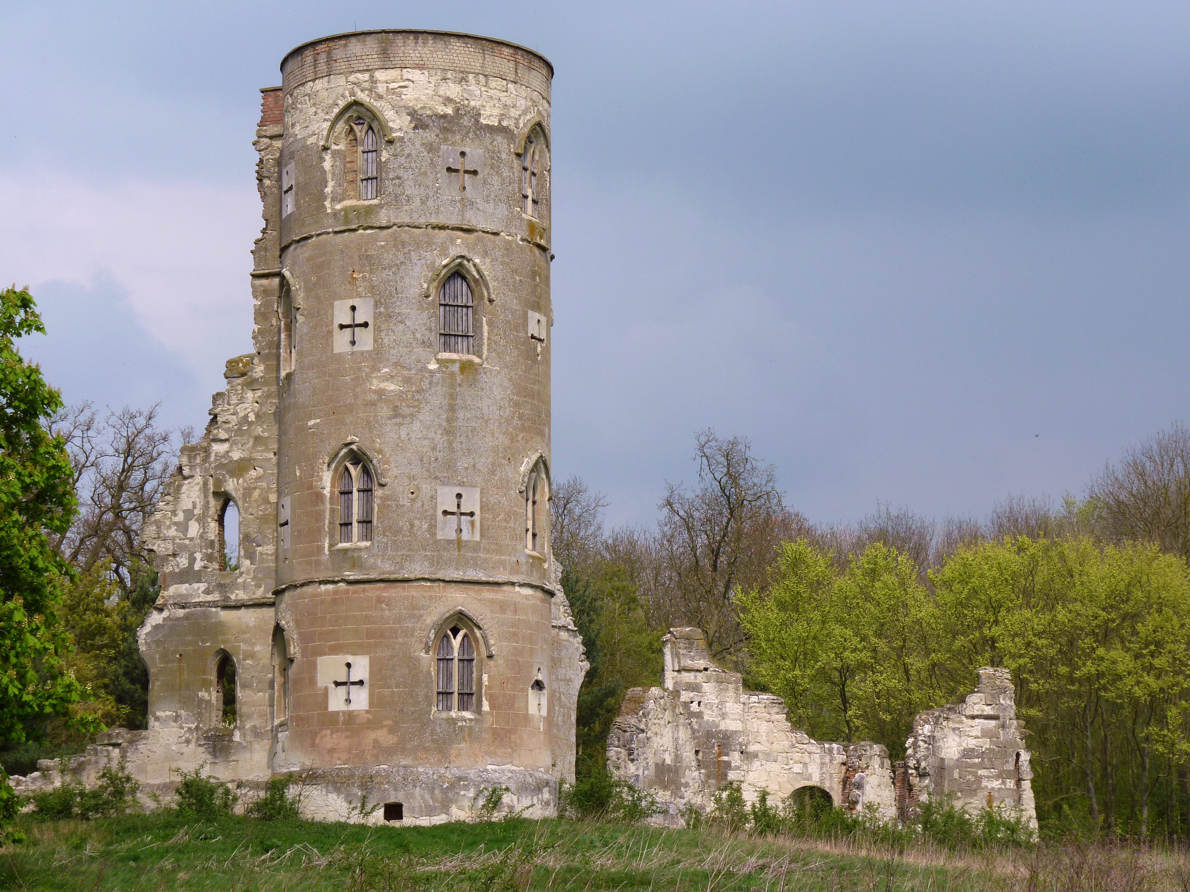
Wimpole's Folly
Wimpole's Folly is a folly ruin located in the grounds of Wimpole Hall, in the parish of Wimpole, in Cambridgeshire, England.The folly is designed to resemble...

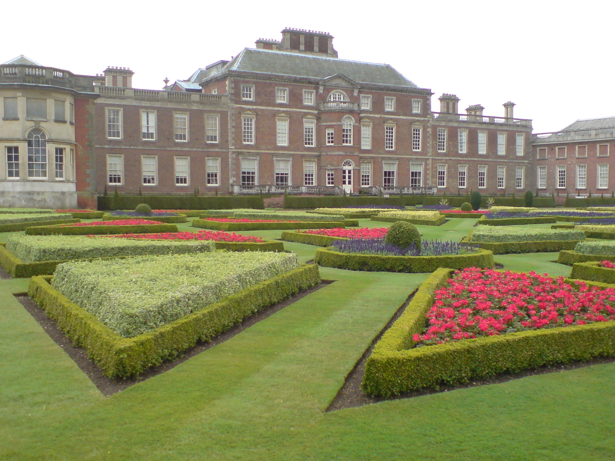
Wimpole Estate
Wimpole Estate is a large estate containing Wimpole Hall, a country house located within the civil parish of Wimpole, Cambridgeshire, England, about 8...
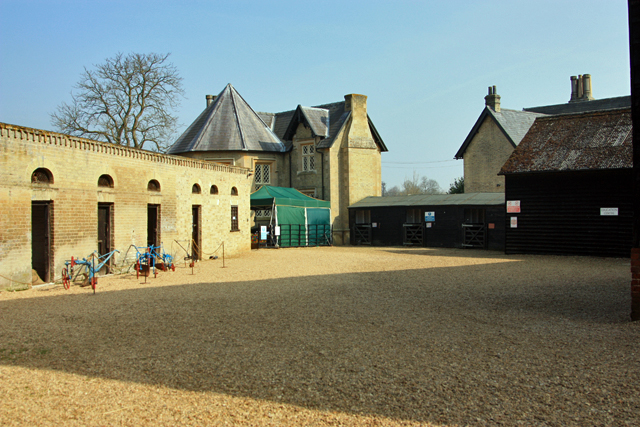
Wimpole Home Farm
Wimpole Home Farm is an 18th-century model farm on the Wimpole Estate, Arrington, Royston, in South Cambridgeshire, England, and operated by the National...
Wimpole
Wimpole is a small village and civil parish in South Cambridgeshire, England, about 8+1⁄2 miles (13.7 km) southwest of Cambridge. Until 1999, the main...
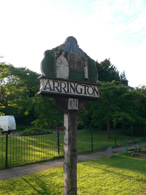
Arrington, Cambridgeshire
Arrington is a small village and civil parish in the South Cambridgeshire district of Cambridgeshire, England, with a population of 415 at the time of...

Kingston Wood and Outliers
Kingston Wood and Outliers is a 47.4-hectare (117-acre) biological Site of Special Scientific Interest south-west of Kingston in Cambridgeshire. The site...

Croydon, Cambridgeshire
Croydon is a small village and civil parish in South Cambridgeshire, England. It is 10 miles (16 km) south-west of Cambridge and immediately west of the...
Old North Road railway station
Old North Road was a railway station on the Varsity Line which served the small village of Longstowe near Bourn in Cambridgeshire. As its name suggests...
Nearby Amenities
Located within 500m of 52.148297,-0.056931755Have you been to Horse Common Plantation?
Leave your review of Horse Common Plantation below (or comments, questions and feedback).