Big Patchet Holes Holt
Wood, Forest in Lincolnshire East Lindsey
England
Big Patchet Holes Holt

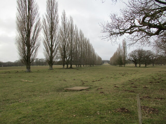
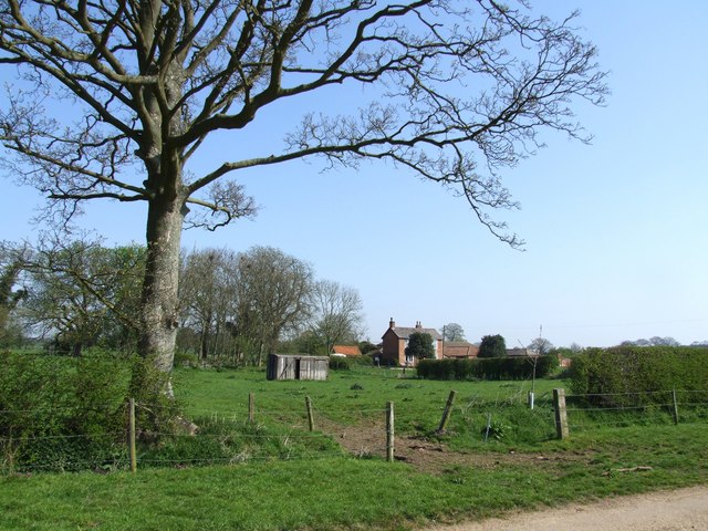
Big Patchet Holes Holt is a woodland area located in Lincolnshire, England. Spanning over a vast expanse, it is known for its dense and lush forest cover, making it an ideal habitat for a diverse range of flora and fauna. The woodland is situated in the Holt district, hence the name.
The forest is characterized by its towering trees, predominantly consisting of oak and beech. The canopy formed by these majestic trees creates a cool and shaded environment, offering respite from the scorching summer heat. The forest floor is carpeted with a variety of wildflowers, ferns, and moss, adding to the overall enchanting ambiance.
Big Patchet Holes Holt is home to a rich and diverse wildlife population. The woodland provides a safe haven for numerous bird species, including woodpeckers, owls, and various songbirds. Small mammals such as squirrels, rabbits, and badgers can also be spotted here. Additionally, several species of insects, reptiles, and amphibians thrive in the forest ecosystem.
The woodland serves as a popular recreational area for locals and visitors alike. It offers picturesque walking trails, allowing visitors to explore and immerse themselves in the natural beauty of the forest. The tranquility and serenity of Big Patchet Holes Holt make it an ideal spot for nature enthusiasts, wildlife photographers, and those seeking a peaceful retreat.
Overall, Big Patchet Holes Holt in Lincolnshire is a captivating woodland with its lush vegetation, diverse wildlife, and scenic trails, providing a delightful experience for anyone seeking to connect with nature.
If you have any feedback on the listing, please let us know in the comments section below.
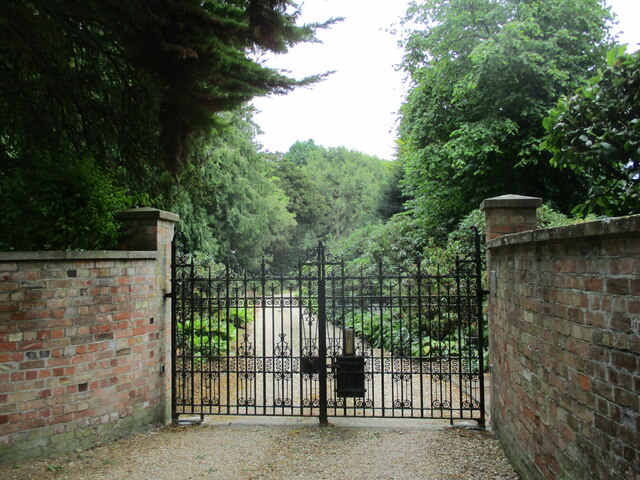
Big Patchet Holes Holt Images
Images are sourced within 2km of 53.142028/-0.014062886 or Grid Reference TF3262. Thanks to Geograph Open Source API. All images are credited.


Big Patchet Holes Holt is located at Grid Ref: TF3262 (Lat: 53.142028, Lng: -0.014062886)
Administrative County: Lincolnshire
District: East Lindsey
Police Authority: Lincolnshire
What 3 Words
///marked.coolest.requiring. Near Stickney, Lincolnshire
Nearby Locations
Related Wikis
East Kirkby
East Kirkby is a village and civil parish in the East Lindsey district of Lincolnshire, England. It is situated 7 miles (11 km) south-east from Horncastle...
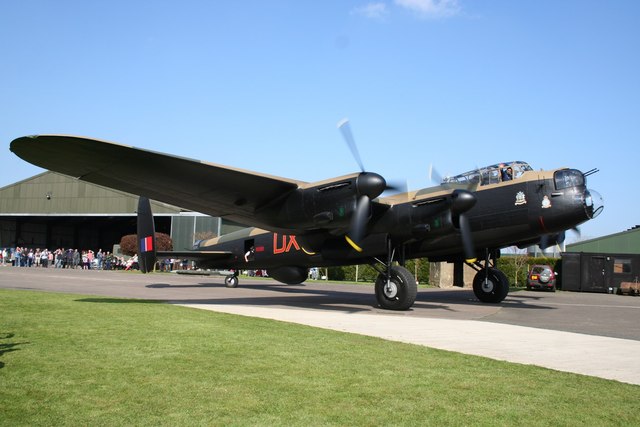
Lincolnshire Aviation Heritage Centre
The Lincolnshire Aviation Heritage Centre is an aviation museum in East Kirkby, Lincolnshire, England. It was opened to the public in 1988 by Lincolnshire...
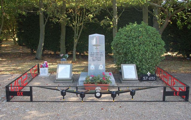
RAF East Kirkby
Royal Air Force East Kirkby or more simply RAF East Kirkby is a former Royal Air Force station near the village of East Kirkby, south of Horncastle in...

Hagnaby
Hagnaby is a small village and former civil parish, now in the parish of East Kirkby, in the East Lindsey district of Lincolnshire, England. It is 4 miles...

Miningsby
Miningsby is a small village and former civil parish, now in the parish of Revesby, in the East Lindsey district of Lincolnshire, England. It is situated...

Asgarby, East Lindsey
Asgarby is a hamlet and former civil parish, now in the parish of Lusby with Winceby, in the East Lindsey district of Lincolnshire, England. It lies just...

Revesby, Lincolnshire
Revesby is a village and civil parish in the East Lindsey district of Lincolnshire, England. It is 7 miles (11 km) south-east from Horncastle, 8 miles...
Claxby Pluckacre
Claxby Pluckacre is a hamlet in the East Lindsey district of Lincolnshire, England. It is situated approximately 5 miles (8.0 km) south-east from the town...
Nearby Amenities
Located within 500m of 53.142028,-0.014062886Have you been to Big Patchet Holes Holt?
Leave your review of Big Patchet Holes Holt below (or comments, questions and feedback).