Glebe Spring

Wood, Forest in Cambridgeshire South Cambridgeshire

England

Glebe Spring

Knapwell, All Saints <span class="nowrap"><a title="http://www.druidic.org/camchurch/churches/knapwell.htm" rel="nofollow ugc noopener" href="http://www.druidic.org/camchurch/churches/knapwell.htm">Link</a><img style="margin-left:2px;" alt="External link" title="External link - shift click to open in new window" src="https://s1.geograph.org.uk/img/external.png" width="10" height="10"/></span>
Knapwell, All Saints Credit: mym

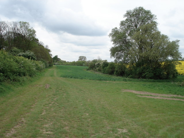
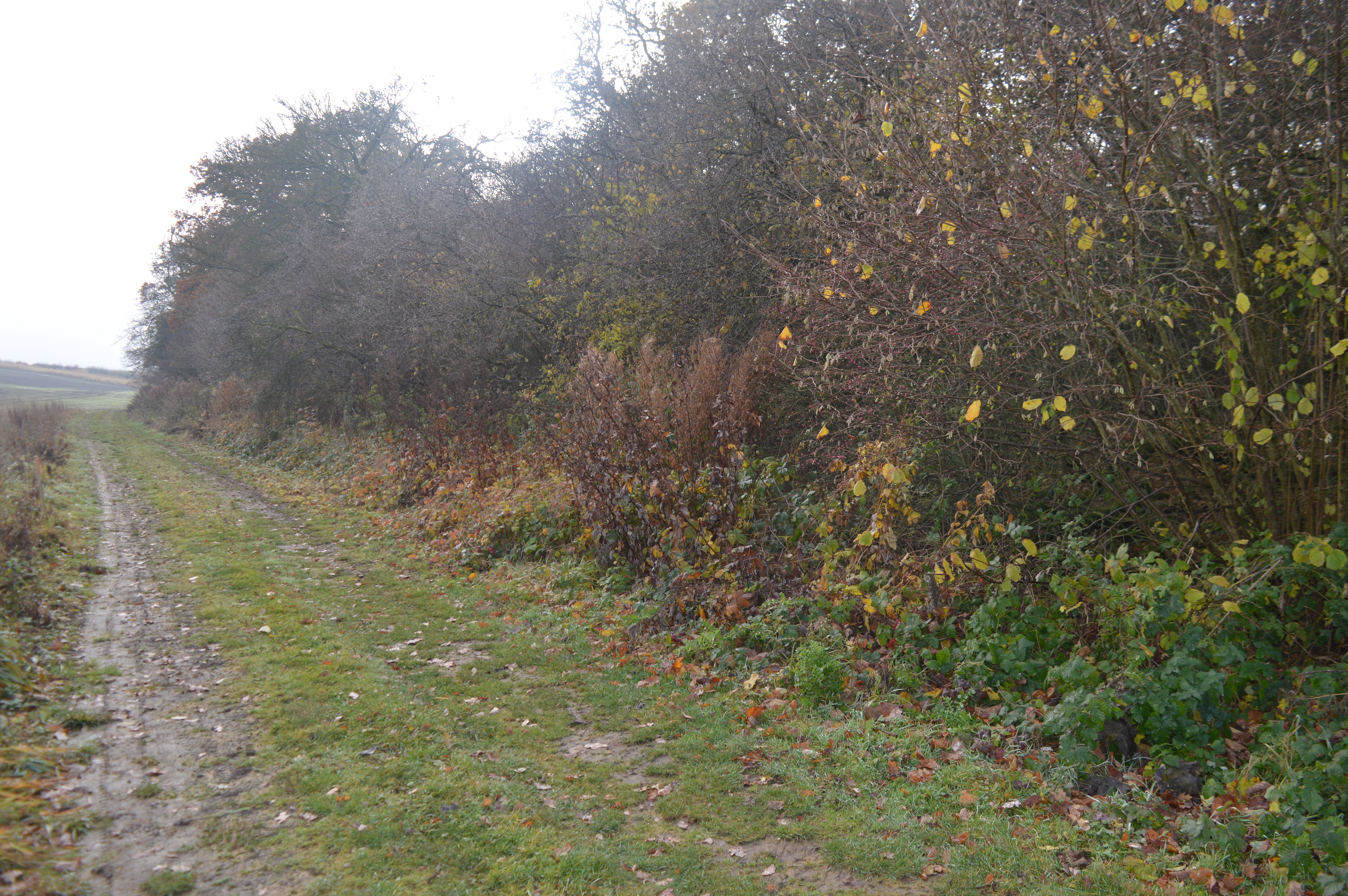
Glebe Spring is a picturesque woodland located in Cambridgeshire, England. Situated in the heart of the county, it covers an area of approximately 100 hectares. The woodland is characterized by its dense, ancient trees, creating a serene and tranquil environment for visitors to enjoy.

The name "Glebe Spring" derives from the natural spring that flows through the woods, providing a source of fresh water for the surrounding flora and fauna. The spring also serves as a popular attraction, with visitors often pausing to admire its crystal-clear waters.

The woodland is home to a diverse range of wildlife, including numerous species of birds, mammals, and insects. Birdwatchers can spot various avian species, such as woodpeckers, owls, and songbirds, while nature enthusiasts may encounter foxes, rabbits, and squirrels during their explorations.

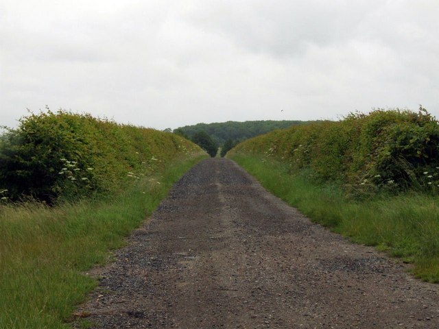
Glebe Spring offers a network of well-maintained walking trails, allowing visitors to immerse themselves in the natural beauty of the woodland. The paths wind through dense foliage, occasionally opening up to reveal charming meadows and vibrant wildflowers. The wood also features several picnic areas, providing visitors with the perfect opportunity to relax and enjoy the peaceful surroundings.

Managed by the local forestry commission, Glebe Spring aims to balance conservation and recreational activities. The woodland is regularly maintained to ensure the preservation of its ancient trees and delicate ecosystem. Interpretive boards are strategically placed along the trails, offering educational information about the flora, fauna, and history of the area.

Glebe Spring is a beloved natural treasure in Cambridgeshire, attracting both locals and tourists alike who seek solace in its tranquility and the beauty of its woodlands.

If you have any feedback on the listing, please let us know in the comments section below.
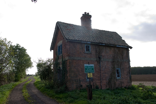
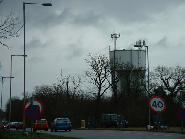
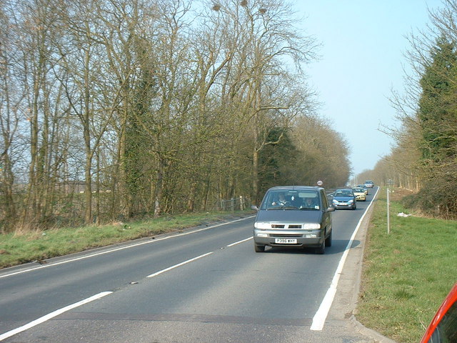
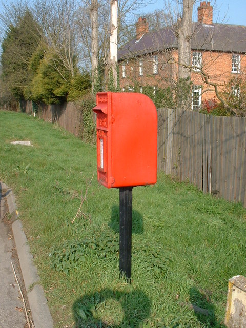
Glebe Spring Images

Images are sourced within 2km of 52.238175/-0.057328801 or Grid Reference TL3261. Thanks to Geograph Open Source API. All images are credited.

Knapwell, All Saints <span class="nowrap"><a title="http://www.druidic.org/camchurch/churches/knapwell.htm" rel="nofollow ugc noopener" href="http://www.druidic.org/camchurch/churches/knapwell.htm">Link</a><img style="margin-left:2px;" alt="External link" title="External link - shift click to open in new window" src="https://s1.geograph.org.uk/img/external.png" width="10" height="10"/></span>
Knapwell, All Saints
Elsworth, Holy Trinity <span class="nowrap"><a title="http://www.druidic.org/camchurch/churches/elsworth.htm" rel="nofollow ugc noopener" href="http://www.druidic.org/camchurch/churches/elsworth.htm">Link</a><img style="margin-left:2px;" alt="External link" title="External link - shift click to open in new window" src="https://s1.geograph.org.uk/img/external.png" width="10" height="10"/></span>
Elsworth, Holy Trinity
Rolling wheat fields An overview of the arable fields that cover much of this grid square (taken from just outside the square looking in).
Rolling wheat fields
An overview of the arable fields that cover much of this grid square (taken from just outside the square looking in).
Field scale lysimeters A lysimeter measures water penetration in the soil, apparently. The things you learn through Geograph.
Field scale lysimeters
A lysimeter measures water penetration in the soil, apparently. The things you learn through Geograph.
Knapwell village street Showing the handmade sign that is de rigueur for all villages in this area.
Knapwell village street
Showing the handmade sign that is de rigueur for all villages in this area.
Derelict building at Battle Gate This is at the end of the southern road out of Boxworth which can be driven down, but not beyond this point. The surrounding fields are on one of the highest parts of the clay 'uplands' (nearby spot height is 67m) which form the southern border of the Fens.
Derelict building at Battle Gate
This is at the end of the southern road out of Boxworth which can be driven down, but not beyond this point. The surrounding fields are on one of the highest parts of the clay 'uplands' (nearby spot height is 67m) which form the southern border of the Fens.
Converted house One of the many converted dwellings in the village, giving the area its own unique character.
Converted house
One of the many converted dwellings in the village, giving the area its own unique character.
Terrace houses A view along the main road through Knapwell, showing terrace houses backing onto the street. The road tarmac is coloured red to help drivers remember that the village is a 30mph zone - a technique used often in local rural villages.
Terrace houses
A view along the main road through Knapwell, showing terrace houses backing onto the street. The road tarmac is coloured red to help drivers remember that the village is a 30mph zone - a technique used often in local rural villages.
Water Tower, St. Neots Road. This water tower is only just in square TL3160, but can be seen from the whole area.
Water Tower, St. Neots Road.
This water tower is only just in square TL3160, but can be seen from the whole area.
Field and pylon There is little to distinguish one field from another!
Field and pylon
There is little to distinguish one field from another!
Footpath and field boundary This is true Cambridgeshire.
Footpath and field boundary
This is true Cambridgeshire.
The old St. Neots Road This stretch of the old St. Neots Road near Cambourne, is soon to be replaced by the A428 dual carriageway.
The old St. Neots Road
This stretch of the old St. Neots Road near Cambourne, is soon to be replaced by the A428 dual carriageway.
St.Neots Road Postbox near New Inn Farm The odd shadow at the bottom of this photo is the photographer!
Postbox No.CB23 276
This Postbox has been renamed Monks Drive Postbox and has the new postbox number of CB3 393
St.Neots Road Postbox near New Inn Farm
The odd shadow at the bottom of this photo is the photographer! Postbox No.CB23 276 This Postbox has been renamed Monks Drive Postbox and has the new postbox number of CB3 393
Farmland at Grange Farm, Knapwell Part of the RSPB's 'Hope Farm'.
Farmland at Grange Farm, Knapwell
Part of the RSPB's 'Hope Farm'.
Courses for horses Horse jumping practice ring at Bird's Pastures Farm, near Knapwell. The surface of the practice ring is made from chopped up car tyres. Very green.
Courses for horses
Horse jumping practice ring at Bird's Pastures Farm, near Knapwell. The surface of the practice ring is made from chopped up car tyres. Very green.
Field, enclosure, gate and huge thistles
Track to New Farm
Track to New Farm
Farm buildings at Wood farm
Show me another place!

Glebe Spring is located at Grid Ref: TL3261 (Lat: 52.238175, Lng: -0.057328801)

Administrative County: Cambridgeshire

District: South Cambridgeshire

Police Authority: Cambridgeshire

What 3 Words

///mallets.makes.crowns. Near Cambourne, Cambridgeshire

Nearby Locations

Glebe Spring

Related Wikis

Knapwell

Knapwell is a hamlet in Cambridgeshire situated about 10 miles (16 km) west of Cambridge. It is within the diocese of Ely. Its population was estimated...

Elsworth Wood

Elsworth Wood is a 6.9-hectare (17-acre) biological Site of Special Scientific Interest between Cambourne and Elsworth in Cambridgeshire. This site has...

Overhall Grove

Overhall Grove is a 17.4-hectare (43-acre) biological Site of Special Scientific Interest to the east of Knapwell in Cambridgeshire. It is a Nature Conservation...

Elsworth

Elsworth is a village and civil parish in South Cambridgeshire, England, 9 miles northwest of Cambridge and 7 miles southeast of Huntingdon. At the 2011...

Have you been to Glebe Spring?

Leave your review of Glebe Spring below (or comments, questions and feedback).