Grubs Wood

Wood, Forest in Surrey Tandridge

England

Grubs Wood

M23/M25 Intersection The huge multi-level junction of the M25 and M23 near Merstham, which totally dominates this square.
M23/M25 Intersection Credit: Ben Gamble

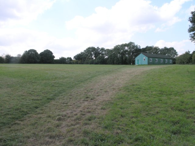
Grubs Wood is a picturesque forest located in Surrey, England. Covering an area of approximately 50 acres, it forms part of the larger Surrey Hills Area of Outstanding Natural Beauty. The woodland is situated near the village of Abinger Hammer, just a short distance from the town of Dorking.

Grubs Wood is predominantly composed of native tree species, including oak, beech, and birch trees, which create a dense canopy that provides shade and shelter. The forest floor is covered in a lush carpet of ferns, bluebells, and wildflowers, adding to the natural beauty of the area.

The wood is crisscrossed with a network of well-maintained footpaths and trails, making it a popular destination for walkers, hikers, and nature enthusiasts. These paths offer opportunities to explore the wood's diverse ecosystem, observe wildlife, and enjoy the tranquil surroundings.

The forest is home to a variety of wildlife, including deer, foxes, rabbits, and numerous bird species. Birdwatchers frequent the area, hoping to catch a glimpse of woodpeckers, owls, and other woodland birds.

Grubs Wood is also known for its historical significance. The remnants of an ancient iron furnace can still be found within the woodland, serving as a reminder of the area's industrial past.

Overall, Grubs Wood is a cherished natural gem in Surrey, with its enchanting woodland, diverse wildlife, and rich history. It offers visitors a chance to immerse themselves in the beauty of nature and escape the hustle and bustle of everyday life.

If you have any feedback on the listing, please let us know in the comments section below.
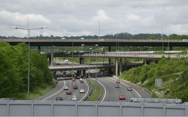
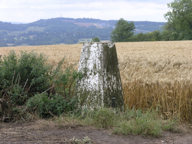
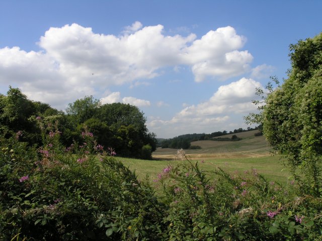
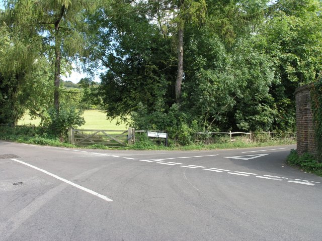
Grubs Wood Images

Images are sourced within 2km of 51.269561/-0.10161136 or Grid Reference TQ3253. Thanks to Geograph Open Source API. All images are credited.

M23/M25 Intersection The huge multi-level junction of the M25 and M23 near Merstham, which totally dominates this square.
M23/M25 Intersection
The huge multi-level junction of the M25 and M23 near Merstham, which totally dominates this square.
Trig Point near Chaldon Trig point with Reigate Hill, with its twin transmitter masts in the background.
Trig Point near Chaldon
Trig point with Reigate Hill, with its twin transmitter masts in the background.
The Clifton Arms, Caterham The Clifton Arms, established in 1869 on a roundabout road junction.
The Clifton Arms, Caterham
The Clifton Arms, established in 1869 on a roundabout road junction.
St. Lawrence, Caterham Built in 1085, this was the main parish church for Caterham until it was replaced by a larger building across the road in 1866.
St. Lawrence, Caterham
Built in 1085, this was the main parish church for Caterham until it was replaced by a larger building across the road in 1866.
St. Mary the Virgin, Caterham This is the parish church for Caterham.  It was consecrated in 1866 to replace a smaller building which still exists across the road. It has a peal of 8 bells and a church hall is situated behind the main building.
St. Mary the Virgin, Caterham
This is the parish church for Caterham. It was consecrated in 1866 to replace a smaller building which still exists across the road. It has a peal of 8 bells and a church hall is situated behind the main building.
Caterham School Caterham prep and senior school, founded in 1811, provides co-educational schooling from the age of 3 to 18. The current school is a merger of two schools - Caterham Boys' school, founded in 1811, and Eothen girls' school, founded in 1892.
Caterham School
Caterham prep and senior school, founded in 1811, provides co-educational schooling from the age of 3 to 18. The current school is a merger of two schools - Caterham Boys' school, founded in 1811, and Eothen girls' school, founded in 1892.
Water Tower on Gravelly Hill One of many water towers that can be seen on the North Downs. Most as this one have found a new use in recent times as mobile phone masts.
Water Tower on Gravelly Hill
One of many water towers that can be seen on the North Downs. Most as this one have found a new use in recent times as mobile phone masts.
View Point on the North Downs  Near Caterham Some stunning views are seen off the edge of the North Downs from this viewing area.  The line of trucks that can be seen in the middle distance is the M25, snarled up yet again because of an accident.
View Point on the North Downs Near Caterham
Some stunning views are seen off the edge of the North Downs from this viewing area. The line of trucks that can be seen in the middle distance is the M25, snarled up yet again because of an accident.
Enjoying the View, Near Caterham A couple enjoy the view from this viewpoint near Caterham.
Enjoying the View, Near Caterham
A couple enjoy the view from this viewpoint near Caterham.
Farmland, not far from Chaldon Arable land near Chaldon, taken on the junction with Spring Bottom Lane.  The black spot in the sky is actually an approaching Chinook helicopter, a common sight seen in these parts as the edge of the downs/M25 corridor is a common helicopter route.
Farmland, not far from Chaldon
Arable land near Chaldon, taken on the junction with Spring Bottom Lane. The black spot in the sky is actually an approaching Chinook helicopter, a common sight seen in these parts as the edge of the downs/M25 corridor is a common helicopter route.
Countryside road junction near Chaldon This junction is one of many on the narrow country roads that link this area.  The road branching off is marked as Spring Bottom Lane.
Countryside road junction near Chaldon
This junction is one of many on the narrow country roads that link this area. The road branching off is marked as Spring Bottom Lane.
Chaldon Village Hall Chaldon Village Hall, taken from the small private car park opposite, which serves the hall.
Chaldon Village Hall
Chaldon Village Hall, taken from the small private car park opposite, which serves the hall.
Six Brothers Field, Chaldon Six Brothers Field is Chaldon's main recreational area and is used for many purposes by the community. It was gifted to the National Trust on the 31st December 1926 by Martin Colesharman.   
He donated 6.69 acres for the benefit of Chaldon residents. 

Mr Harman was one of six brothers, and consequently asked that the field should be forever know as Six Brothers Field.  He also had five sisters, but they didn't seem to come into the picture...
Six Brothers Field, Chaldon
Six Brothers Field is Chaldon's main recreational area and is used for many purposes by the community. It was gifted to the National Trust on the 31st December 1926 by Martin Colesharman. He donated 6.69 acres for the benefit of Chaldon residents. Mr Harman was one of six brothers, and consequently asked that the field should be forever know as Six Brothers Field. He also had five sisters, but they didn't seem to come into the picture...
Road junction in a housing area near Chaldon A road junction on Roffe's Lane.
Road junction in a housing area near Chaldon
A road junction on Roffe's Lane.
M25, near a road crossing The M25 motorway cuts through this square.  The copse in the distance is called Black Bushes and bales of hay can be seen in nearby fields, wrapped ready for winter storage.  Also shown are the new crash barriers that are being installed on many of the bridges after a lorry crashed into a bridge a few years ago causing major structural damage.
M25, near a road crossing
The M25 motorway cuts through this square. The copse in the distance is called Black Bushes and bales of hay can be seen in nearby fields, wrapped ready for winter storage. Also shown are the new crash barriers that are being installed on many of the bridges after a lorry crashed into a bridge a few years ago causing major structural damage.
Caterham United Reformed Church, Harestone Valley Road CR3
A country pub in Surrey Popular with walkers on the adjoining Pilgrims Way. Several fine real ales served and also food.
A country pub in Surrey
Popular with walkers on the adjoining Pilgrims Way. Several fine real ales served and also food.
A field with some horses This picture sums up this square neatly.  The northern third of the square contains some very large houses, interspersed with some paddocks with horses.  Then, the square is sliced neatly by the M25.  Beyond that are some trees before the ground turns into the desolate wastes of a sand pit.  The sand pit is relatively new and isn't reflected on Ordnance Survey maps - much of the south of the square has completely changed - a lane entitled Green Lane Track is no longer there neither it seems is the copse entitled Big Pickle.
A field with some horses
This picture sums up this square neatly. The northern third of the square contains some very large houses, interspersed with some paddocks with horses. Then, the square is sliced neatly by the M25. Beyond that are some trees before the ground turns into the desolate wastes of a sand pit. The sand pit is relatively new and isn't reflected on Ordnance Survey maps - much of the south of the square has completely changed - a lane entitled Green Lane Track is no longer there neither it seems is the copse entitled Big Pickle.
Show me another place!

Grubs Wood is located at Grid Ref: TQ3253 (Lat: 51.269561, Lng: -0.10161136)

Administrative County: Surrey

District: Tandridge

Police Authority: Surrey

What 3 Words

///warm.invite.taker. Near Caterham, Surrey

Related Wikis

Quarry Hangers

Quarry Hangers is a 28.5-hectare (70-acre) biological Site of Special Scientific Interest south-west of Caterham in Surrey. An area of 11 hectares (27...
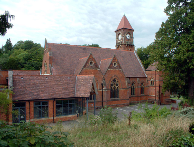
Caterham School

Caterham School is an independent co-educational day and boarding school located in Caterham, Surrey and a member of the Headmasters' and Headmistresses...

Chaldon

Chaldon is a village and civil parish in the Tandridge District of Surrey, England. The village is situated high on the North Downs, immediately west of...

Kitchen Copse

Kitchen Copse is a 7-hectare (17-acre) nature reserve north of Bletchingley in Surrey. It is managed by the Surrey Wildlife Trust.This ancient semi-natural...

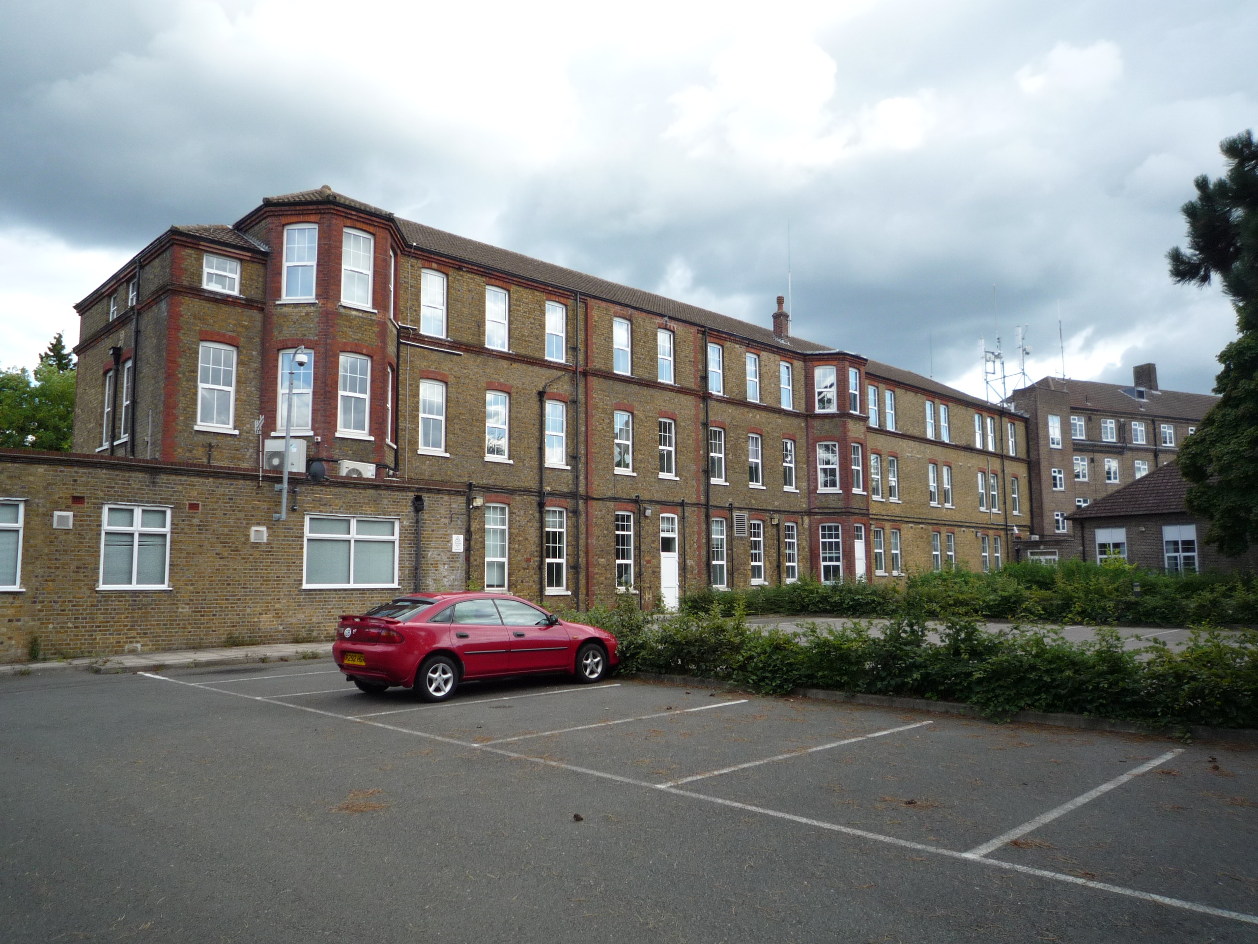
St Lawrence's Hospital, Caterham

St Lawrence's Hospital was a mental health facility in Caterham, Surrey. == History == The facility was commissioned by the Metropolitan Asylums Board...
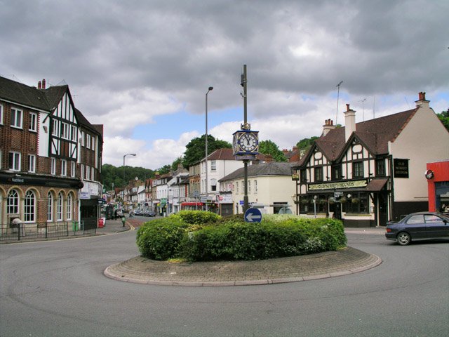
Caterham

Caterham () is a town in the Tandridge District of Surrey, England. The town is administratively divided into two: Caterham on the Hill, and Caterham Valley...

Caterham Arms pub bombing

On 27 August 1975 a Provisional Irish Republican Army bomb exploded without warning at the Caterham Arms public house in Caterham, Surrey, England. There...

Caterham Cars

Caterham Cars is a British manufacturer of specialist lightweight sports cars established in Caterham, England, with their headquarters in Dartford, England...

Nearby Amenities

Located within 500m of 51.269561,-0.10161136
Entrance: yes
Wheelchair: limited
Lat/Long: 51.2685255/-0.0996483
Entrance: yes
Wheelchair: no
Lat/Long: 51.2685702/-0.0997881
Quarry Hangers
Place: isolated_dwelling
Lat/Long: 51.2667541/-0.106701
White Hill
Natural: peak
Lat/Long: 51.268522/-0.1060747
Upton Farm
Place: isolated_dwelling
Lat/Long: 51.2713934/-0.1007525
Roffes Farm
Place: isolated_dwelling
Lat/Long: 51.2718732/-0.1006741
The data included in this document is from www.openstreetmap.org. The data is made available under ODbL.

Have you been to Grubs Wood?

Leave your review of Grubs Wood below (or comments, questions and feedback).