Ashenground Park
Wood, Forest in Sussex Mid Sussex
England
Ashenground Park

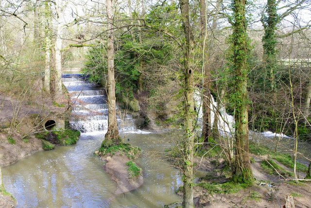
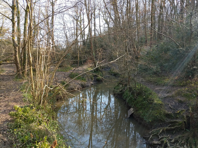
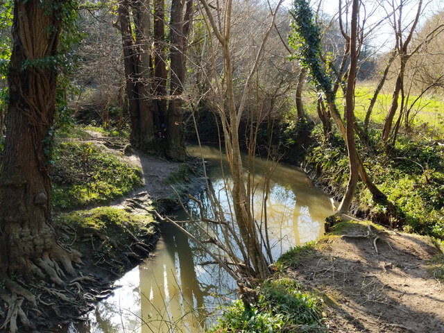
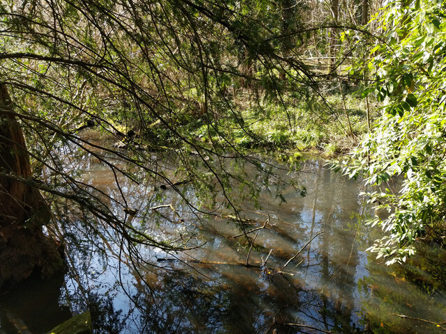
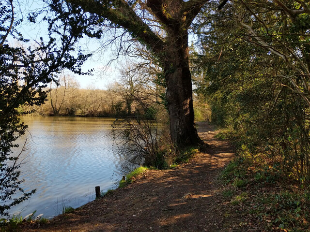
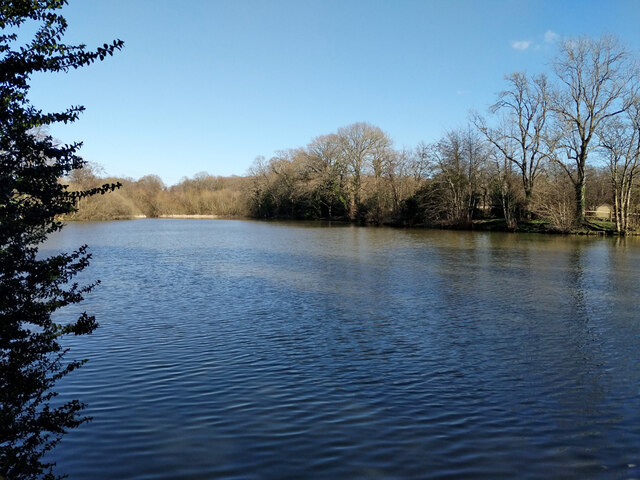
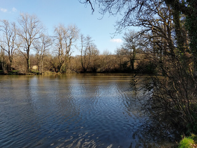
Ashenground Park is a beautiful woodland area located in Sussex, England. Covering an expansive area, the park is known for its dense forest and lush greenery. It is a popular destination for nature enthusiasts and those seeking a peaceful retreat.
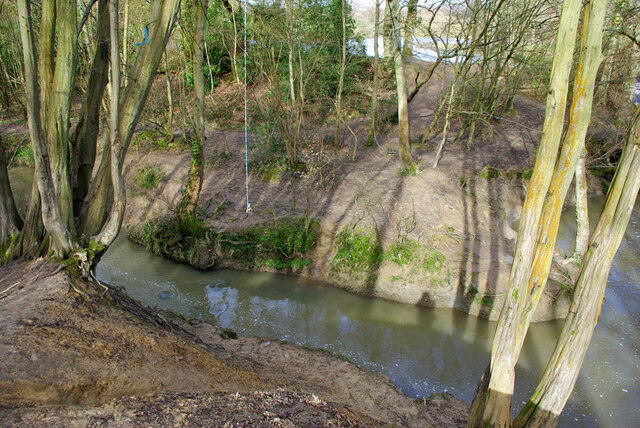
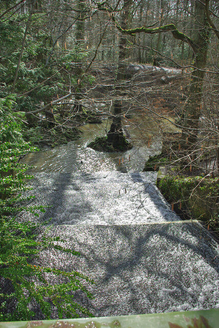
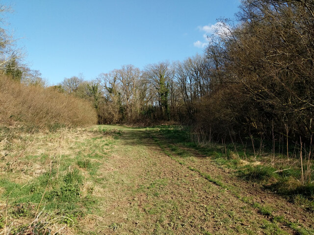
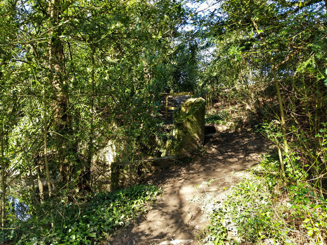
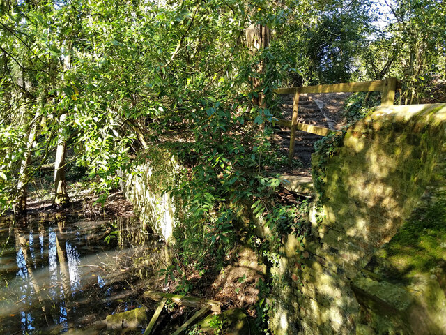
The park is characterized by its diverse range of trees, including oak, beech, and ash. These trees provide ample shade and create a tranquil atmosphere. Visitors can take leisurely walks along the well-maintained trails, immersing themselves in the natural beauty of the surroundings.
Ashenground Park is also home to various wildlife species, making it a haven for animal lovers and birdwatchers. Squirrels can often be seen darting between the trees, while birds of different species fill the air with their melodies. The park is a paradise for photographers, offering numerous opportunities to capture stunning shots of flora and fauna.
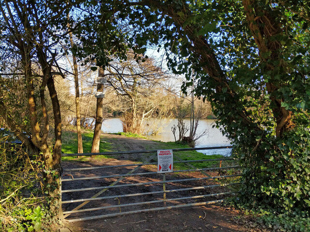
Facilities in the park include picnic areas, benches, and well-equipped play areas for children. This makes it an ideal place for families to spend quality time together. The park is also well-connected, with ample parking space available for visitors.
Throughout the year, Ashenground Park hosts several events and activities, such as guided nature walks and educational programs. These initiatives aim to promote environmental awareness and provide an opportunity for visitors to learn more about the local ecosystem.
In conclusion, Ashenground Park is a picturesque woodland area in Sussex, offering a serene escape from the hustle and bustle of everyday life. With its diverse flora and fauna, well-maintained trails, and family-friendly facilities, the park is a must-visit destination for nature lovers and those seeking a tranquil retreat.
If you have any feedback on the listing, please let us know in the comments section below.
Ashenground Park Images
Images are sourced within 2km of 50.990857/-0.11326234 or Grid Reference TQ3222. Thanks to Geograph Open Source API. All images are credited.

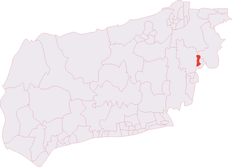
Ashenground Park is located at Grid Ref: TQ3222 (Lat: 50.990857, Lng: -0.11326234)
Administrative County: West Sussex
District: Mid Sussex
Police Authority: Sussex
What 3 Words
///looked.both.sketch. Near Haywards Heath, West Sussex
Related Wikis

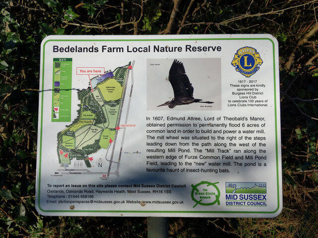
Ashenground and Bolnore Woods
Ashenground and Bolnore Woods is a 14.4-hectare (36-acre) Local Nature Reserve in Haywards Heath in West Sussex. It is owned and managed by Mid Sussex...

Jireh Chapel, Haywards Heath
The Jireh Chapel is a Strict Baptist place of worship in the town of Haywards Heath in the English county of West Sussex. The chapel was built in 1879...

Battle of Muster Green
The Battle of Muster Green (also known as the Battle of Haywards Heath) was a minor battle of major significance that took place during the first week...

St Wilfrid's Church, Haywards Heath
St Wilfrid's Church is an Anglican church in the town of Haywards Heath in the district of Mid Sussex, one of seven local government districts in the English...
Haywards Heath Town (electoral division)
Haywards Heath Town is an electoral division of West Sussex in the United Kingdom, and returns one member to sit on West Sussex County Council. == Extent... ==

St Francis Hospital, Haywards Heath
St Francis Hospital was a mental health facility in Haywards Heath, West Sussex, England. The main building survives and is a Grade II listed building...

St Francis Rangers F.C.
St Francis Rangers F.C. is a football club based in Haywards Heath, England. They are currently members of the Southern Combination Division Two and play...
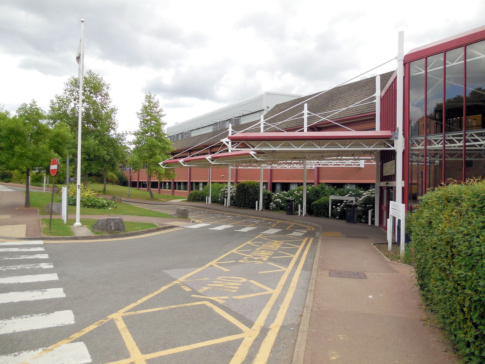
Princess Royal Hospital, Haywards Heath
The Princess Royal Hospital, also known as PRH, is an acute, teaching, general hospital located in Haywards Heath, West Sussex, England. It is the main...
Nearby Amenities
Located within 500m of 50.990857,-0.11326234Have you been to Ashenground Park?
Leave your review of Ashenground Park below (or comments, questions and feedback).