Knapwell Plantation

Wood, Forest in Cambridgeshire South Cambridgeshire

England

Knapwell Plantation

Water Tower, St. Neots Road. This water tower is only just in square TL3160, but can be seen from the whole area.
Water Tower, St. Neots Road. Credit: Mark Hurn

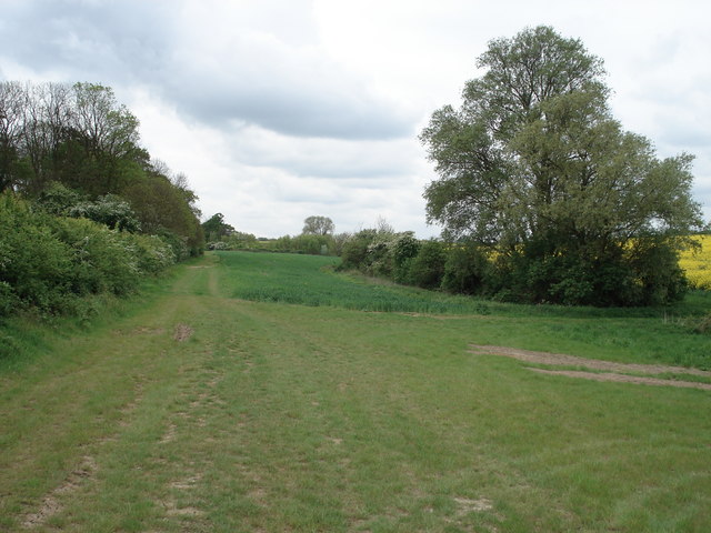
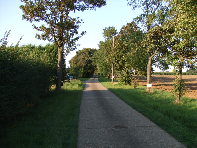
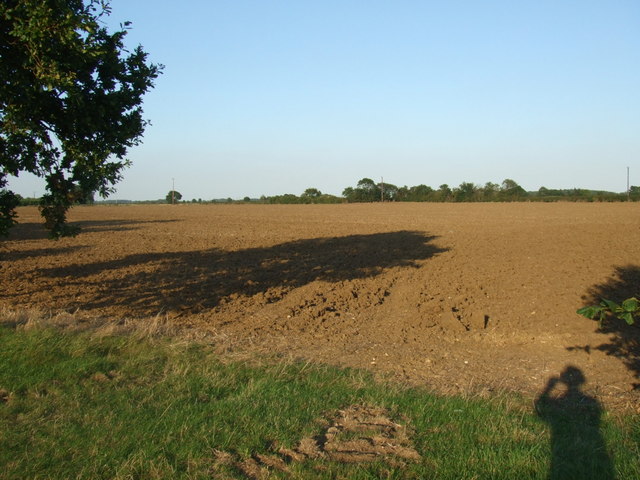
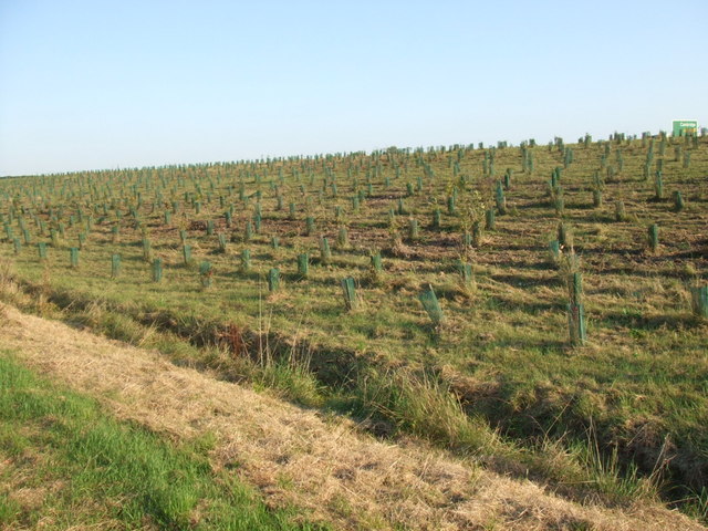
Knapwell Plantation is a sprawling woodland located in the county of Cambridgeshire, England. Covering an expansive area, it is nestled in the picturesque countryside, making it a popular destination for nature enthusiasts and outdoor adventurers alike.

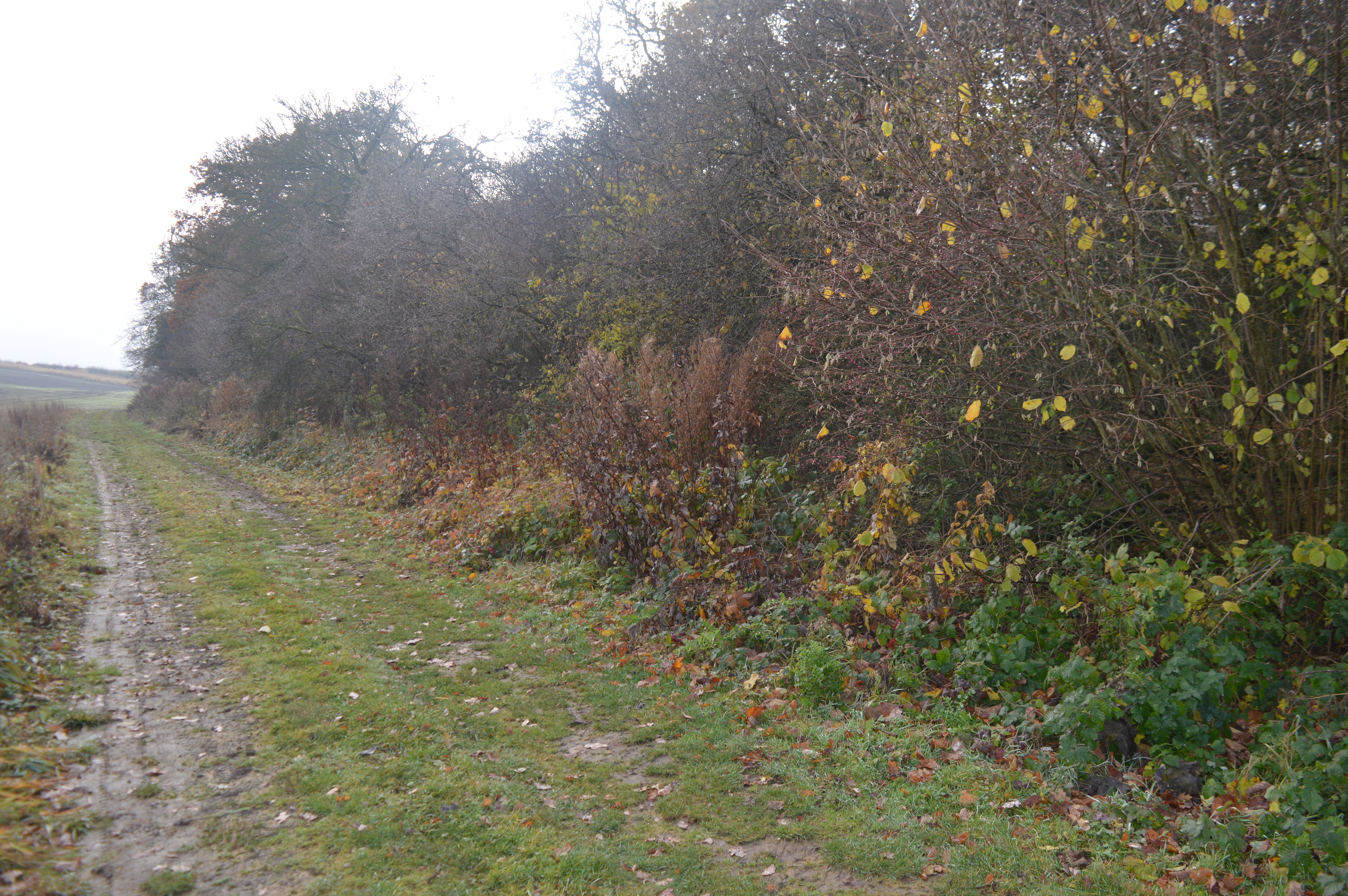
The plantation is primarily composed of a diverse range of trees, including oak, beech, and birch, which create a dense and verdant forest canopy. This rich biodiversity provides a haven for a wide array of wildlife, making it an ideal spot for birdwatching and nature photography. Visitors may be fortunate enough to spot rare species such as woodpeckers, owls, and deer as they explore the plantation's numerous trails.

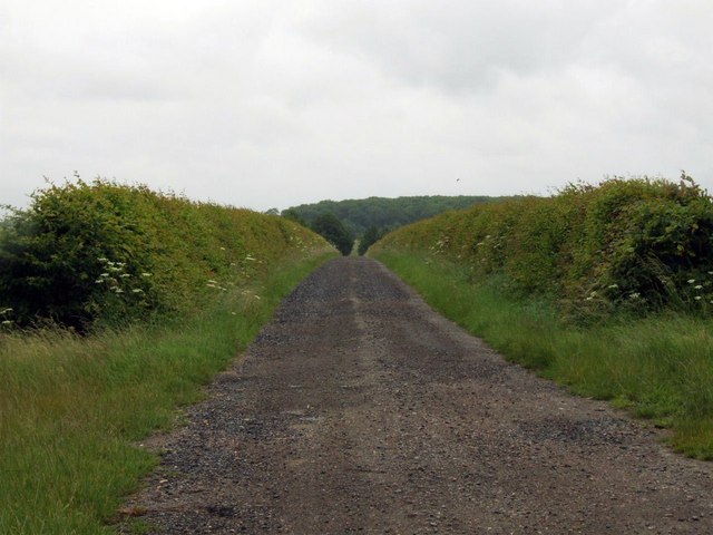
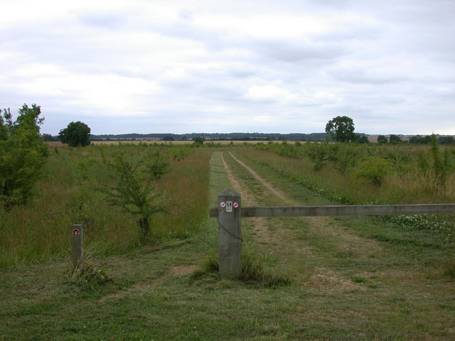
There are several well-maintained footpaths and cycling routes that wind their way through the plantation, allowing visitors to fully immerse themselves in the natural beauty of the surroundings. These paths cater to all levels of fitness and are suitable for both leisurely strolls and more vigorous activities.

Knapwell Plantation also offers various amenities for visitors' convenience. There are picnic areas scattered throughout the woodland, providing a perfect spot to enjoy a packed lunch amidst the tranquil surroundings. Additionally, there are information boards placed strategically throughout the plantation, offering visitors insight into the local flora and fauna.

Overall, Knapwell Plantation in Cambridgeshire offers a serene and enchanting retreat from the bustle of everyday life. With its lush greenery, diverse wildlife, and well-maintained trails, it is an idyllic destination for individuals seeking solace and communion with nature.

If you have any feedback on the listing, please let us know in the comments section below.

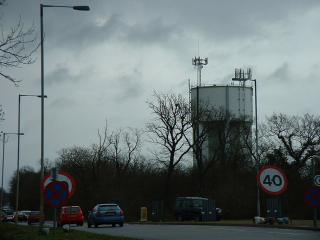
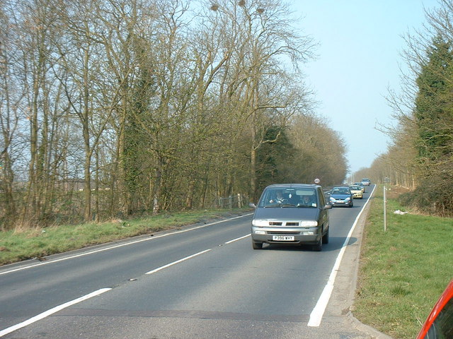
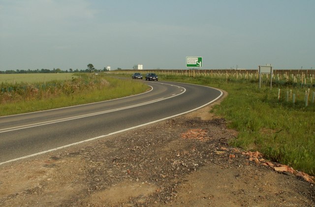
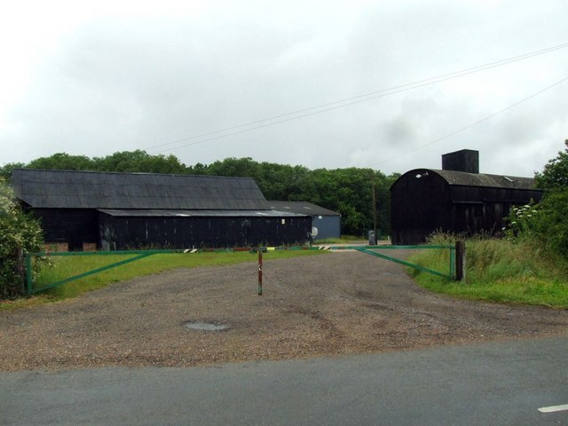
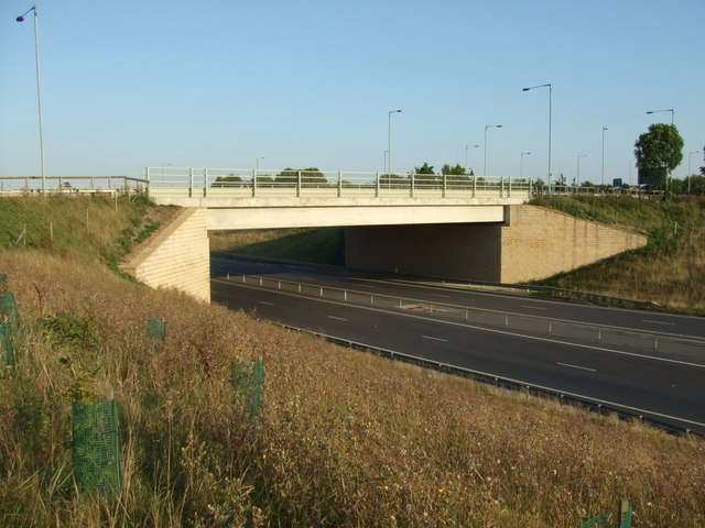
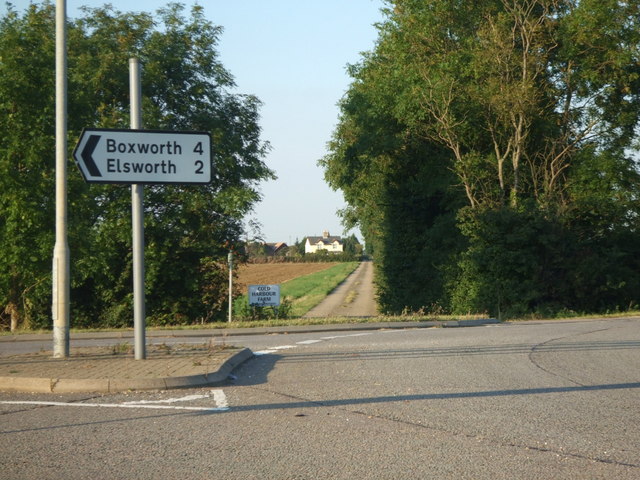
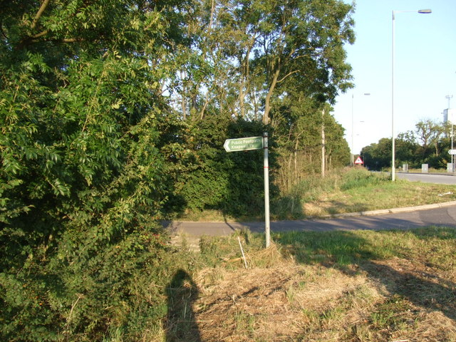
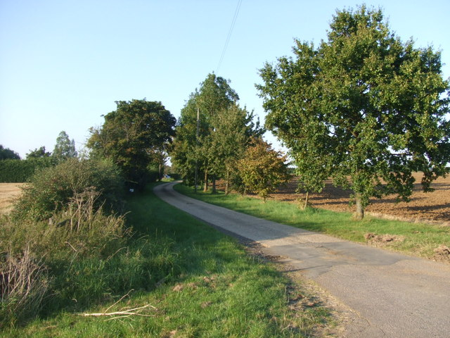
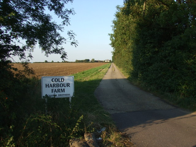
Knapwell Plantation Images

Images are sourced within 2km of 52.223978/-0.066674805 or Grid Reference TL3260. Thanks to Geograph Open Source API. All images are credited.

Water Tower, St. Neots Road. This water tower is only just in square TL3160, but can be seen from the whole area.
Water Tower, St. Neots Road.
This water tower is only just in square TL3160, but can be seen from the whole area.
The old St. Neots Road This stretch of the old St. Neots Road near Cambourne, is soon to be replaced by the A428 dual carriageway.
The old St. Neots Road
This stretch of the old St. Neots Road near Cambourne, is soon to be replaced by the A428 dual carriageway.
St.Neots Road Postbox near New Inn Farm The odd shadow at the bottom of this photo is the photographer!
Postbox No.CB23 276
This Postbox has been renamed Monks Drive Postbox and has the new postbox number of CB3 393
St.Neots Road Postbox near New Inn Farm
The odd shadow at the bottom of this photo is the photographer! Postbox No.CB23 276 This Postbox has been renamed Monks Drive Postbox and has the new postbox number of CB3 393
Farmland at Grange Farm, Knapwell Part of the RSPB's 'Hope Farm'.
Farmland at Grange Farm, Knapwell
Part of the RSPB's 'Hope Farm'.
The road that links Elsworth with Cambourne
Track to New Farm
Track to New Farm
Farm buildings at Wood farm
Road bridge over the A428 This bridge takes traffic into Cambourne.
Road bridge over the A428
This bridge takes traffic into Cambourne.
Road sign to Boxworth Coldharbour Farm can be seen in the far distance.
Road sign to Boxworth
Coldharbour Farm can be seen in the far distance.
Public footpath sign to Knapwell
The lane to Lawn Farm
Lane to Cold Harbour Farm
Along the lane to Lawn Farm
View over ploughed field I make a shadow appearance in this field which makes up quite a lot of this grid square.
View over ploughed field
I make a shadow appearance in this field which makes up quite a lot of this grid square.
Road sign and water tower
Cambourne roundabout Cambourne has a series of roundabouts to negotiate when arriving from the North, this is the first.
Cambourne roundabout
Cambourne has a series of roundabouts to negotiate when arriving from the North, this is the first.
Tree planting by the A428 One day this will be a forest?
Tree planting by the A428
One day this will be a forest?
Turning off for Lawn Farm
Show me another place!

Knapwell Plantation is located at Grid Ref: TL3260 (Lat: 52.223978, Lng: -0.066674805)

Administrative County: Cambridgeshire

District: South Cambridgeshire

Police Authority: Cambridgeshire

What 3 Words

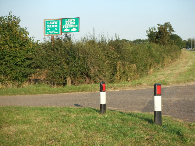
///badge.invents.duplicate. Near Cambourne, Cambridgeshire

Nearby Locations

Knapwell Plantation

Related Wikis

Cambourne

Cambourne is a new settlement and civil parish in Cambridgeshire, England, in the district of South Cambridgeshire. It lies on the A428 road between Cambridge...

Cambourne Church

Cambourne Church is a "local ecumenical partnership" between the Church of England, Baptist Union of Great Britain, Methodist Church of Great Britain and...

Cambourne Nature Reserve

Cambourne Nature Reserve is a 90 hectare nature reserve in Cambourne in Cambridgeshire. It is managed by the Wildlife Trust for Bedfordshire, Cambridgeshire...

Cambourne Village College

Cambourne Village College is a mixed secondary school located in Cambourne, Cambridgeshire, England. It is a free school that opened in 2013, and is part...

Elsworth Wood

Elsworth Wood is a 6.9-hectare (17-acre) biological Site of Special Scientific Interest between Cambourne and Elsworth in Cambridgeshire.This site has...

RAF Bourn

Royal Air Force Bourn or more simply RAF Bourn is a former Royal Air Force station located 2 miles (3.2 km) north of Bourn, Cambridgeshire and 6.9 miles...

Bourn Airfield

Bourn Airport (IATA: n/a, ICAO: EGSN) is located 7 NM (13 km; 8.1 mi) west of Cambridge, Cambridgeshire, England. The airfield was originally constructed...

Bourn Windmill

Bourn Windmill is an open trestle post mill at Bourn in Cambridgeshire, England, which was standing in 1636. It is a Grade I Listed building and a Scheduled...

Nearby Amenities

Located within 500m of 52.223978,-0.066674805
Motorway Junction
Cambourne Junction
Lat/Long: 52.2241752/-0.0653155
Traffic Signals
Traffic Signals: crossing
Lat/Long: 52.2254338/-0.0730054
Crossing
Crossing: unmarked
Crossing Markings: no
Lat/Long: 52.2237918/-0.0723011
Crossing
Crossing: unmarked
Crossing Markings: no
Lat/Long: 52.223835/-0.0719504
Man Made: water_tower
Source: survey
Lat/Long: 52.2250557/-0.0691636
Traffic Signals
Traffic Signals: crossing
Lat/Long: 52.2243362/-0.0729081
Crossing
Crossing: unmarked
Crossing Island: no
Crossing Markings: no
Tactile Paving: yes
Lat/Long: 52.2259776/-0.0726192
Crossing
Crossing: unmarked
Crossing Island: yes
Lat/Long: 52.2202134/-0.0676536
Recycling
Location: overground
Operator: Morrison's Foundation, The Salvation Army, Textile Recycling Association, Oxfam
Recycling Clothes: yes
Recycling Shoes: yes
Recycling Type: container
Lat/Long: 52.2196435/-0.0670754
Mini Roundabout
Direction: clockwise
Lat/Long: 52.2196572/-0.0674532
Mini Roundabout
Direction: clockwise
Lat/Long: 52.2219156/-0.0730863
Fuel
Air Pump: coin_operated
Brand: Morrisons
Brand Wikidata: Q922344
Brand Wikipedia: en:Morrisons
Car Wash: jet_wash
Compressed Air: yes
Fuel Diesel: yes
Fuel Lpg: yes
Fuel Octane 95: yes
Opening Hours: Mo-Sa 05:30-22:30; Su 08:00-21:00
Vacuum: coin_operated
Website: https://my.morrisons.com/storefinder/118/cambourne
Wheelchair: yes
Lat/Long: 52.2199008/-0.0679306
Post Box
Brand: Royal Mail
Brand Wikidata: Q638098
Collection Times: Mo-Fr 09:00; Sa 07:00
Operator: Royal Mail
Operator Wikidata: Q638098
Post Box Type: lamp
Ref: CB23 393
Royal Cypher: EIIR
Royal Cypher Wikidata: Q33102113
Source: survey
Lat/Long: 52.2243776/-0.0625338
Bus Stop
Business Park
Naptan AtcoCode: 0500SCAMB008
Naptan Bearing: E
Naptan CommonName: Business Park
Naptan Indicator: E-bound
Naptan Landmark: Regus House
Naptan NaptanCode: cmbdtwgw
Naptan ShortCommonName: Business Park
Naptan Street: Cambourne Business Park
Naptan Verified: no
Public Transport: platform
Source: naptan_import
Lat/Long: 52.2215007/-0.0719265
Bus Stop
Business Park
Naptan AtcoCode: 0500SCAMB017
Naptan Bearing: N
Naptan CommonName: Business Park
Naptan Indicator: near
Naptan Landmark: Cambourne Business Park
Naptan NaptanCode: cmbgdwdp
Naptan ShortCommonName: Business Park
Naptan Street: Cambourne Road
Naptan Verified: no
Public Transport: platform
Source: naptan_import
Lat/Long: 52.2221887/-0.0718631
Bus Stop
Business Park
Bus: yes
Naptan AtcoCode: 0500SCAMB018
Naptan Bearing: SE
Naptan BusStopType: CUS
Naptan CommonName: Business Park
Naptan Indicator: opp
Naptan Landmark: Cambourne Business Park
Naptan NaptanCode: cmbgdwdt
Naptan ShortCommonName: Business Park
Naptan Street: Cambourne Road
Naptan Verified: no
Public Transport: platform
Source: naptan_import
Lat/Long: 52.2220724/-0.0705925
Car Wash
Morrison's
Automated: yes
Opening Hours: 24/7
Self Service: yes
Wheelchair: yes
Lat/Long: 52.219884/-0.0674723
Crossing
Crossing Island: no
Crossing Markings: zebra
Crossing Ref: zebra
Lat/Long: 52.2195793/-0.0681798
Barrier: swing_gate
Lat/Long: 52.2213349/-0.0672274
Barrier: bollard
Lat/Long: 52.2201033/-0.0631701
Barrier: bollard
Lat/Long: 52.2202036/-0.0631788
Barrier: bollard
Lat/Long: 52.2200943/-0.0630661
Barrier: bollard
Lat/Long: 52.2201744/-0.0632217
Barrier: bollard
Lat/Long: 52.2200799/-0.0631479
Barrier: bollard
Lat/Long: 52.2201863/-0.0632123
Barrier: bollard
Lat/Long: 52.2200865/-0.0630836
Barrier: bollard
Lat/Long: 52.2201966/-0.0631949
Barrier: bollard
Lat/Long: 52.220135/-0.0632056
Barrier: bollard
Lat/Long: 52.2201107/-0.0630668
Barrier: bollard
Lat/Long: 52.2200697/-0.0631365
Barrier: bollard
Lat/Long: 52.2201247/-0.0631942
Barrier: bollard
Lat/Long: 52.2200689/-0.0631211
Barrier: bollard
Lat/Long: 52.220114/-0.0631781
Barrier: bollard
Lat/Long: 52.2200923/-0.06316
Barrier: bollard
Lat/Long: 52.2201465/-0.0632177
Barrier: bollard
Lat/Long: 52.2201592/-0.063225
Barrier: bollard
Lat/Long: 52.2200766/-0.0631043
Crossing
Crossing: unmarked
Crossing Island: no
Crossing Markings: no
Tactile Paving: yes
Lat/Long: 52.2258999/-0.072743
Crossing
Crossing: unmarked
Crossing Island: yes
Lat/Long: 52.2204777/-0.0673492
Barrier: bollard
Lat/Long: 52.2220804/-0.0648438
Barrier: bollard
Lat/Long: 52.2220542/-0.0643972
Barrier: bollard
Lat/Long: 52.2220615/-0.0648472
Barrier: bollard
Lat/Long: 52.222069/-0.0643965
Crossing
Crossing: unmarked
Crossing Island: yes
Lat/Long: 52.2202811/-0.0669426
Entrance: service
Lat/Long: 52.2201862/-0.0652891
Entrance: main
Lat/Long: 52.2205745/-0.0671555
Entrance: main
Lat/Long: 52.2207436/-0.0665236
Entrance: main
Lat/Long: 52.2209037/-0.0669682
Entrance: main
Lat/Long: 52.2211682/-0.066792
Barrier: bollard
Lat/Long: 52.2224128/-0.0640847
Barrier: bollard
Lat/Long: 52.2224342/-0.064074
Barrier: bollard
Lat/Long: 52.2223327/-0.0637159
Barrier: bollard
Lat/Long: 52.2223537/-0.0637065
Entrance: main
Lat/Long: 52.2218267/-0.0662844
Barrier: bollard
Lat/Long: 52.2212514/-0.062993
Barrier: bollard
Lat/Long: 52.2215839/-0.0611437
Barrier: bollard
Lat/Long: 52.2215789/-0.0611209
Barrier: bollard
Lat/Long: 52.2215732/-0.0610982
Shield Care
Addr Housenumber: 1010
Addr Postcode: CB23 6DP
Addr Street: Cambourne Business Park
Lat/Long: 52.2212111/-0.0724653
Netcracker
Addr Housenumber: 2010
Addr Postcode: CB23 6DW
Addr Street: Cambourne Business Park
Lat/Long: 52.2222856/-0.0729911
Communication Mobile Phone: yes
Man Made: mast
Tower Type: communication
Lat/Long: 52.2250947/-0.0689734
Crossing
Crossing: unmarked
Crossing Island: yes
Lat/Long: 52.2200315/-0.0672245
Entrance: main
Lat/Long: 52.2203246/-0.070735
Entrance: main
Lat/Long: 52.2201387/-0.0652367
Addr City: Cambridge
Addr Country: GB
Addr Housenumber: 47
Addr Locality: Great Cambourne
Addr Postcode: CB23 6FY
Addr Street: Back Lane
Addr Town: Cambourne
Lat/Long: 52.2201929/-0.0651871
Addr City: Cambridge
Addr Country: GB
Addr Housenumber: 37
Addr Locality: Great Cambourne
Addr Postcode: CB23 6FY
Addr Street: Back Lane
Addr Town: Cambourne
Lat/Long: 52.2201403/-0.0653279
Addr City: Cambridge
Addr Country: GB
Addr Housenumber: 11
Addr Locality: Great Cambourne
Addr Postcode: CB23 6GA
Addr Street: Playsteds Lane
Addr Town: Cambourne
Lat/Long: 52.2200302/-0.0633323
Entrance: main
Lat/Long: 52.2199826/-0.0633433
Entrance: exit
Lat/Long: 52.2200261/-0.0632432
Addr City: Cambridge
Addr Country: GB
Addr Housenumber: 12
Addr Locality: Great Cambourne
Addr Postcode: CB23 6HQ
Addr Street: Squire Drive
Addr Town: Cambourne
Lat/Long: 52.2207138/-0.0664289
Addr City: Cambridge
Addr Country: GB
Addr Housenumber: 2
Addr Locality: Great Cambourne
Addr Postcode: CB23 6HQ
Addr Street: Squire Drive
Addr Town: Cambourne
Lat/Long: 52.2208132/-0.0665034
Addr City: Cambridge
Addr Country: GB
Addr Housenumber: 54
Addr Locality: Great Cambourne
Addr Postcode: CB23 6GE
Addr Street: New Hall Lane
Addr Town: Cambourne
Lat/Long: 52.2218895/-0.0662828
Addr City: Cambridge
Addr Country: GB
Addr Housenumber: 44
Addr Locality: Great Cambourne
Addr Postcode: CB23 6GE
Addr Street: New Hall Lane
Addr Town: Cambourne
Lat/Long: 52.2218081/-0.0662076
Addr City: Cambridge
Addr Country: GB
Addr Housenumber: 28a
Addr Locality: Great Cambourne
Addr Postcode: CB23 6GE
Addr Street: New Hall Lane
Addr Town: Cambourne
Lat/Long: 52.2211628/-0.0667293
Addr City: Cambridge
Addr Country: GB
Addr Housenumber: 36
Addr Locality: Great Cambourne
Addr Postcode: CB23 6GE
Addr Street: New Hall Lane
Addr Town: Cambourne
Lat/Long: 52.2212367/-0.0667917
Addr City: Cambridge
Addr Country: GB
Addr Housenumber: 28
Addr Locality: Great Cambourne
Addr Postcode: CB23 6GE
Addr Street: New Hall Lane
Addr Town: Cambourne
Lat/Long: 52.2211398/-0.0667099
Addr City: Cambridge
Addr Country: GB
Addr Housenumber: 18a
Addr Locality: Great Cambourne
Addr Postcode: CB23 6GE
Addr Street: New Hall Lane
Addr Town: Cambourne
Lat/Long: 52.2208632/-0.0669851
Addr City: Cambridge
Addr Country: GB
Addr Housenumber: 26
Addr Locality: Great Cambourne
Addr Postcode: CB23 6GE
Addr Street: New Hall Lane
Addr Town: Cambourne
Lat/Long: 52.2209032/-0.066852
Addr City: Cambridge
Addr Country: GB
Addr Housenumber: 18
Addr Locality: Great Cambourne
Addr Postcode: CB23 6GE
Addr Street: New Hall Lane
Addr Town: Cambourne
Lat/Long: 52.2208498/-0.0670297
Addr City: Cambridge
Addr Country: GB
Addr Housenumber: 10
Addr Locality: Great Cambourne
Addr Postcode: CB23 6GE
Addr Street: New Hall Lane
Addr Town: Cambourne
Lat/Long: 52.220635/-0.0671275
Addr City: Cambridge
Addr Country: GB
Addr Housenumber: 2a
Addr Locality: Great Cambourne
Addr Postcode: CB23 6GE
Addr Street: New Hall Lane
Addr Town: Cambourne
Lat/Long: 52.2205766/-0.0670889
Addr City: Cambridge
Addr Country: GB
Addr Housenumber: 2
Addr Locality: Great Cambourne
Addr Postcode: CB23 6GE
Addr Street: New Hall Lane
Addr Town: Cambourne
Lat/Long: 52.2205464/-0.067069
Crossing
Button Operated: yes
Crossing: traffic_signals
Crossing Island: no
Crossing Markings: dots
Crossing Ref: pegasus
Tactile Paving: no
Lat/Long: 52.2254764/-0.0728756
Crossing
Button Operated: yes
Crossing: traffic_signals
Crossing Island: no
Crossing Markings: dots
Crossing Ref: toucan
Tactile Paving: yes
Lat/Long: 52.2254526/-0.0729488
Give Way
Lat/Long: 52.2256051/-0.0726907
Crossing
Button Operated: yes
Crossing: traffic_signals
Crossing Island: no
Crossing Markings: dots
Crossing Ref: pegasus
Tactile Paving: no
Lat/Long: 52.2244054/-0.0730164
Crossing
Button Operated: yes
Crossing: traffic_signals
Crossing Island: no
Crossing Markings: dots
Crossing Ref: toucan
Tactile Paving: yes
Lat/Long: 52.2243673/-0.0729567
The data included in this document is from www.openstreetmap.org. The data is made available under ODbL.

Have you been to Knapwell Plantation?

Leave your review of Knapwell Plantation below (or comments, questions and feedback).