Customs Wood
Wood, Forest in Hertfordshire East Hertfordshire
England
Customs Wood
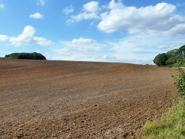
Customs Wood is a picturesque woodland located in Hertfordshire, England. Covering an area of approximately 50 acres, it is situated near the village of Wood, about 15 miles northwest of the county town of Hertford. The woodland is part of the larger Forest of Hertford, which is known for its diverse wildlife and natural beauty.
Customs Wood is characterized by its dense, mature trees, including oak, beech, and ash, which create a lush canopy that provides shade and shelter for a variety of flora and fauna. The forest floor is covered in a thick layer of leaf litter, making it a haven for ground-dwelling plants and small creatures.
The woodland is crisscrossed by a network of well-maintained footpaths, allowing visitors to explore its tranquil surroundings. These paths lead to several points of interest, including a small pond and a meandering stream, adding to the overall charm of the area.
With its peaceful atmosphere and beautiful scenery, Customs Wood is a popular destination for nature lovers and outdoor enthusiasts. It offers opportunities for activities such as walking, birdwatching, and photography. The woodland also provides a habitat for a diverse range of wildlife, including deer, foxes, badgers, and a variety of bird species.
In summary, Customs Wood in Hertfordshire is a stunning woodland that offers visitors a chance to immerse themselves in nature. With its ancient trees, winding paths, and abundant wildlife, it is a place of tranquility and natural beauty.
If you have any feedback on the listing, please let us know in the comments section below.
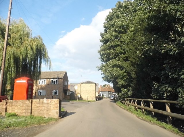
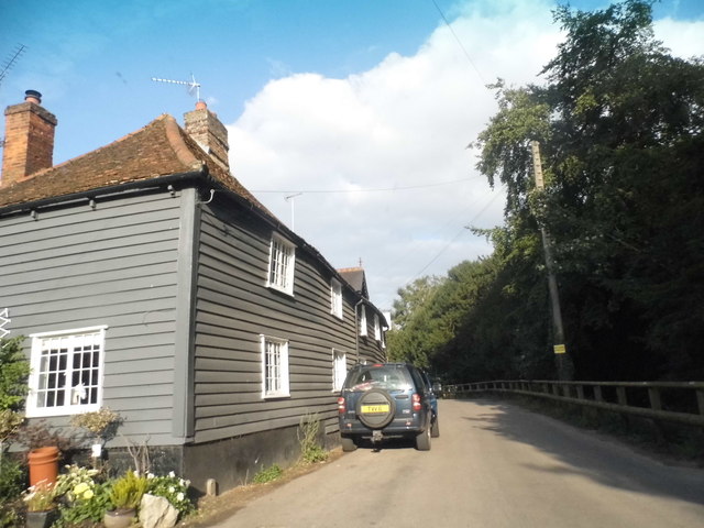
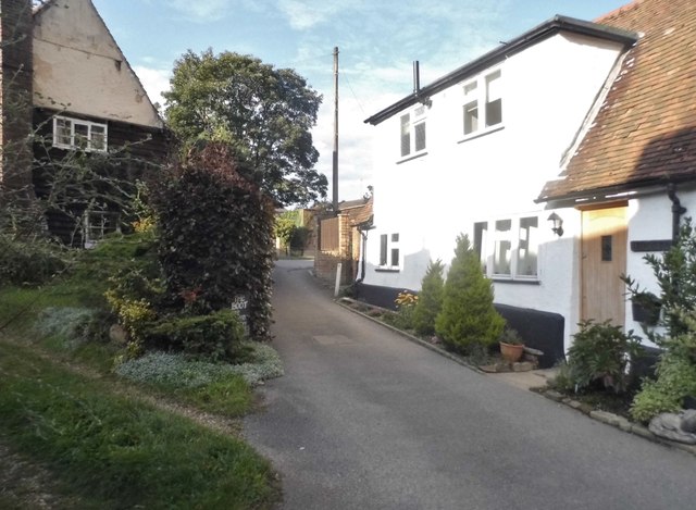
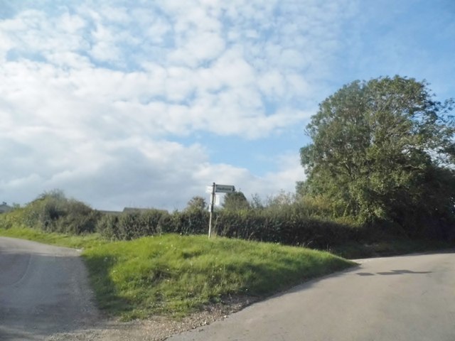
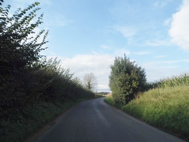
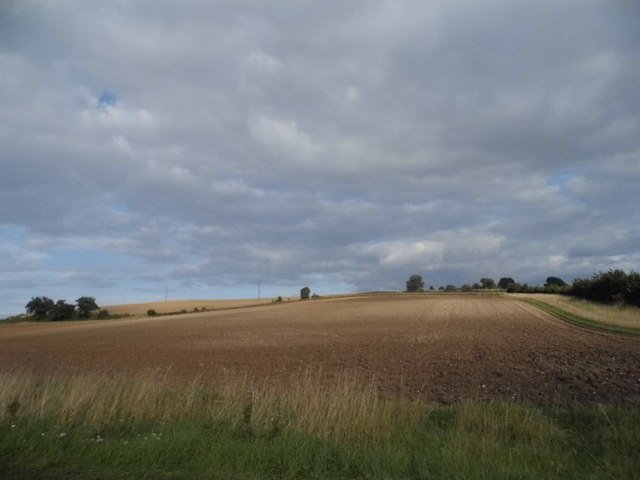
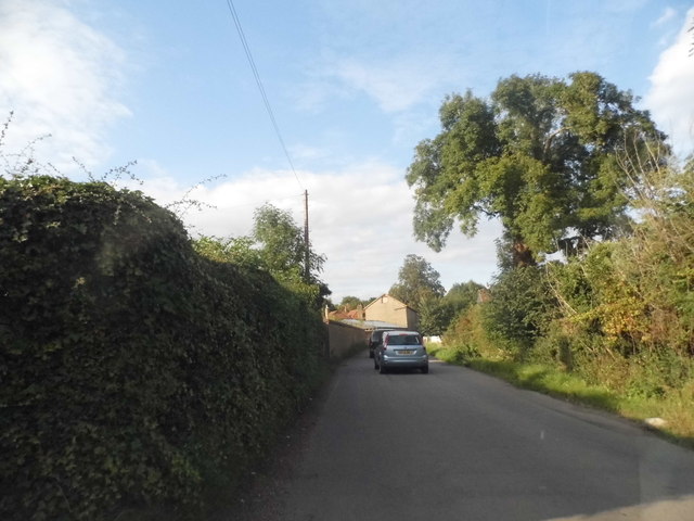
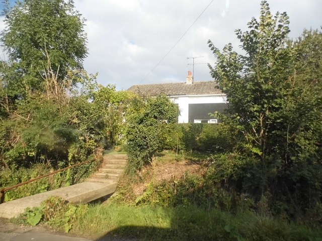
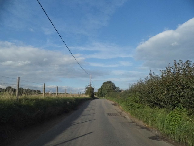
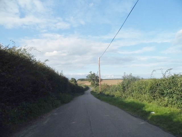
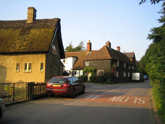
Customs Wood Images
Images are sourced within 2km of 51.879138/-0.082492184 or Grid Reference TL3221. Thanks to Geograph Open Source API. All images are credited.


Customs Wood is located at Grid Ref: TL3221 (Lat: 51.879138, Lng: -0.082492184)
Administrative County: Hertfordshire
District: East Hertfordshire
Police Authority: Hertfordshire
What 3 Words
///invoices.swerving.avocado. Near Watton at Stone, Hertfordshire
Nearby Locations
Related Wikis
Dane End
Dane End is a hamlet to the north of Ware in Hertfordshire, England situated between the A602 and A10. It is within Little Munden civil parish and East...

Little Munden Primary School
Little Munden Primary School is a Church of England voluntary controlled primary school in the village of Dane End, near Ware in Hertfordshire. It is a...

Whempstead
Whempstead is a hamlet in the parish of Watton-at-Stone, situated north of Hertford and to the south-east of Stevenage in Hertfordshire, it is close to...

Little Munden
Little Munden or Munden-Frewell or Munden Parva is a civil parish in the East Hertfordshire district, in the county of Hertfordshire, England. In 2011...

Sacombe
Sacombe is a village and civil parish in the East Hertfordshire district, of Hertfordshire, England. At the 2001 census it had a population of 165. Sacombe...

Benington, Hertfordshire
Benington is a village and civil parish in the East Hertfordshire district of Hertfordshire, England, about four miles east of Stevenage and 35 miles north...

Heath Mount School
Heath Mount School is a Church of England co-educational independent prep school near Watton-at-Stone, Hertfordshire, England. It admits pupils aged 3...
Woodhall Park
Woodhall Park is a Grade I listed country house near Watton-at-Stone, Hertfordshire, England. The 18th century neo-classical building is set in a walled...
Nearby Amenities
Located within 500m of 51.879138,-0.082492184Have you been to Customs Wood?
Leave your review of Customs Wood below (or comments, questions and feedback).