Temple Wood
Wood, Forest in Surrey Tandridge
England
Temple Wood

Temple Wood, located in Surrey, England, is a picturesque forest that covers an area of approximately 300 acres. It is situated near the village of Chiddingfold, in the southeastern part of the county. The woodland is a popular destination among nature enthusiasts and offers a peaceful retreat from the bustling city life.
Temple Wood is predominantly made up of oak trees, which provide a beautiful canopy that allows dappled sunlight to filter through. Other tree species found within the woodland include beech, birch, and pine, adding to the diversity of the ecosystem. The forest floor is rich in flora, with carpets of bluebells and wild garlic in the spring, creating a stunning display of colors.
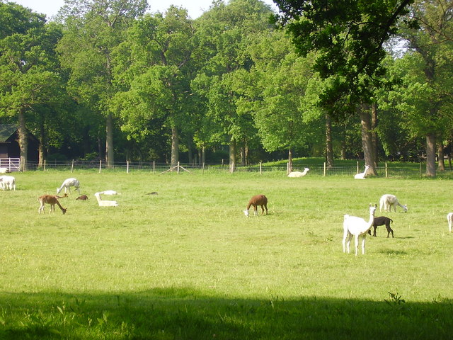
This woodland is home to a variety of wildlife, including deer, foxes, badgers, and numerous bird species. Nature lovers can often spot woodpeckers, owls, and various songbirds while exploring the trails that wind through the forest.
The wood is intersected by several walking paths and trails, providing visitors with the opportunity to immerse themselves in the natural beauty of the surroundings. These paths are well-maintained and suitable for both casual strollers and serious hikers. Additionally, Temple Wood offers designated picnic areas, making it an ideal spot for a family outing or a peaceful lunch amid nature.
Temple Wood, with its stunning scenery and abundant wildlife, remains a cherished natural gem in Surrey. It offers a tranquil escape for those seeking solace in the beauty of the outdoors.
If you have any feedback on the listing, please let us know in the comments section below.
Temple Wood Images
Images are sourced within 2km of 51.217185/-0.11154207 or Grid Reference TQ3148. Thanks to Geograph Open Source API. All images are credited.


Temple Wood is located at Grid Ref: TQ3148 (Lat: 51.217185, Lng: -0.11154207)
Administrative County: Surrey
District: Tandridge
Police Authority: Surrey
What 3 Words
///pigs.cotton.lamp. Near Bletchingley, Surrey
Nearby Locations
Related Wikis

Brewing Industry Research Foundation
The Brewing Industry Research Foundation is now part of Campden BRI, a research association serving all sectors of the food and drink industry. The Brewing...
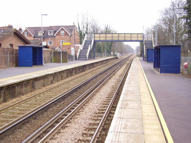
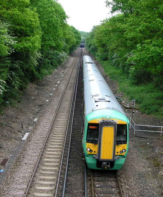
Nutfield railway station
Nutfield railway station is on the Redhill to Tonbridge Line and serves Nutfield, Surrey, England. It is about a mile south of Nutfield itself, located...

Redhill Aerodrome
Redhill Aerodrome (ICAO: EGKR) is an operational general aviation aerodrome located 1.5 NM (2.8 km; 1.7 mi) south-east of Redhill, Surrey, England, in...

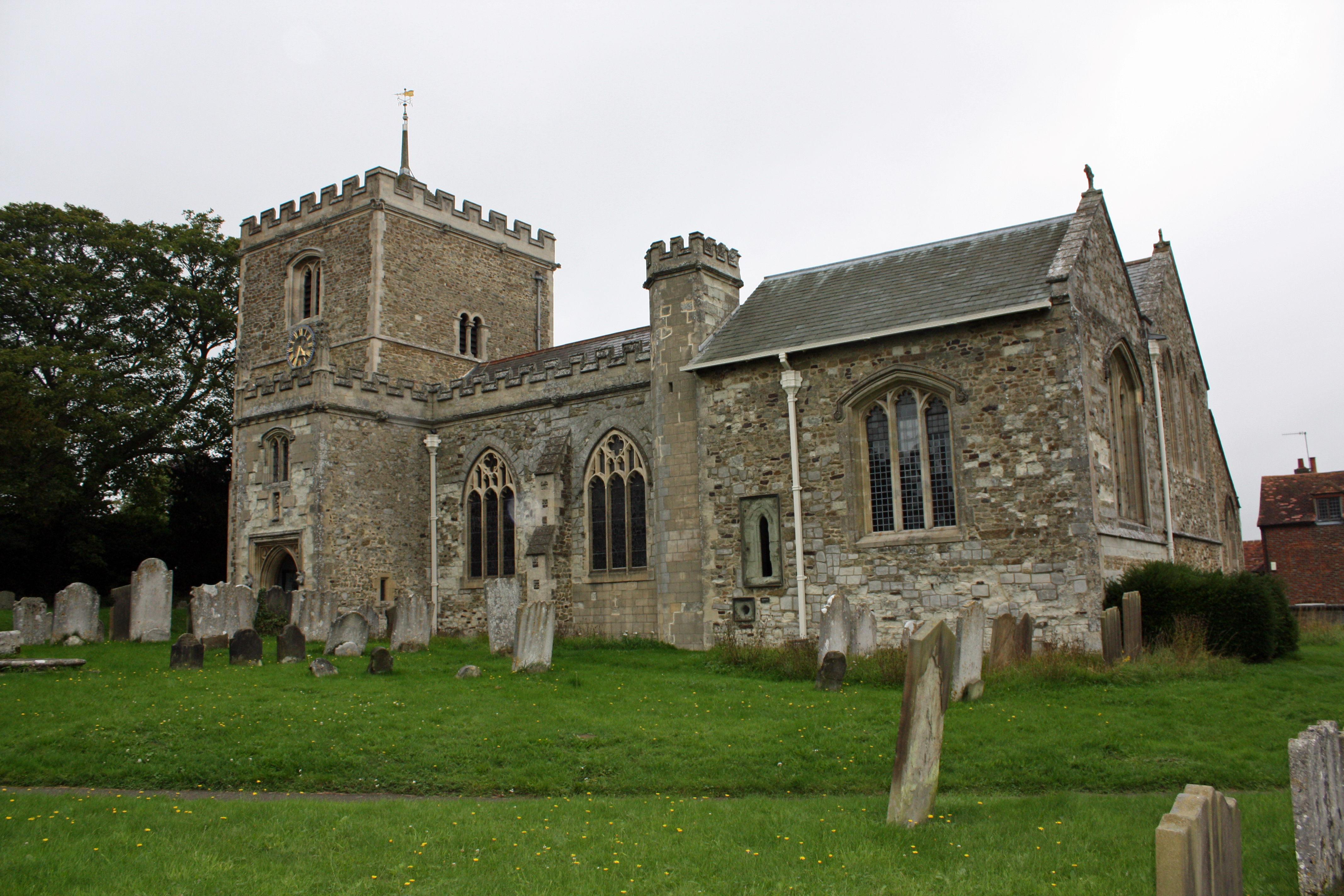
Church of St John the Baptist, Outwood
The Church of St John the Baptist, Outwood, is the parish church of Outwood, Surrey, England. == Clergy and style of worship == Part of the Diocese of...
Bletchingley Castle
Bletchingley Castle is a ruined castle and set of earthworks partly occupied by three buildings. The Scheduled Ancient Monument is directly beside the...

Outwood Windmill
Outwood Windmill is a Grade I listed post mill in Outwood, Surrey. Built in 1665 by Thomas Budgen, a miller from Nutfield in Surrey, it is Britain's oldest...

Nutfield, Surrey
Nutfield is a village and civil parish in the Tandridge District of Surrey, England. It lies in the Weald immediately south of the Greensand Ridge and...
Bletchingley
Bletchingley (historically "Blechingley") is a village in Surrey, England. It is on the A25 road to the east of Redhill and to the west of Godstone, has...
Nearby Amenities
Located within 500m of 51.217185,-0.11154207Have you been to Temple Wood?
Leave your review of Temple Wood below (or comments, questions and feedback).